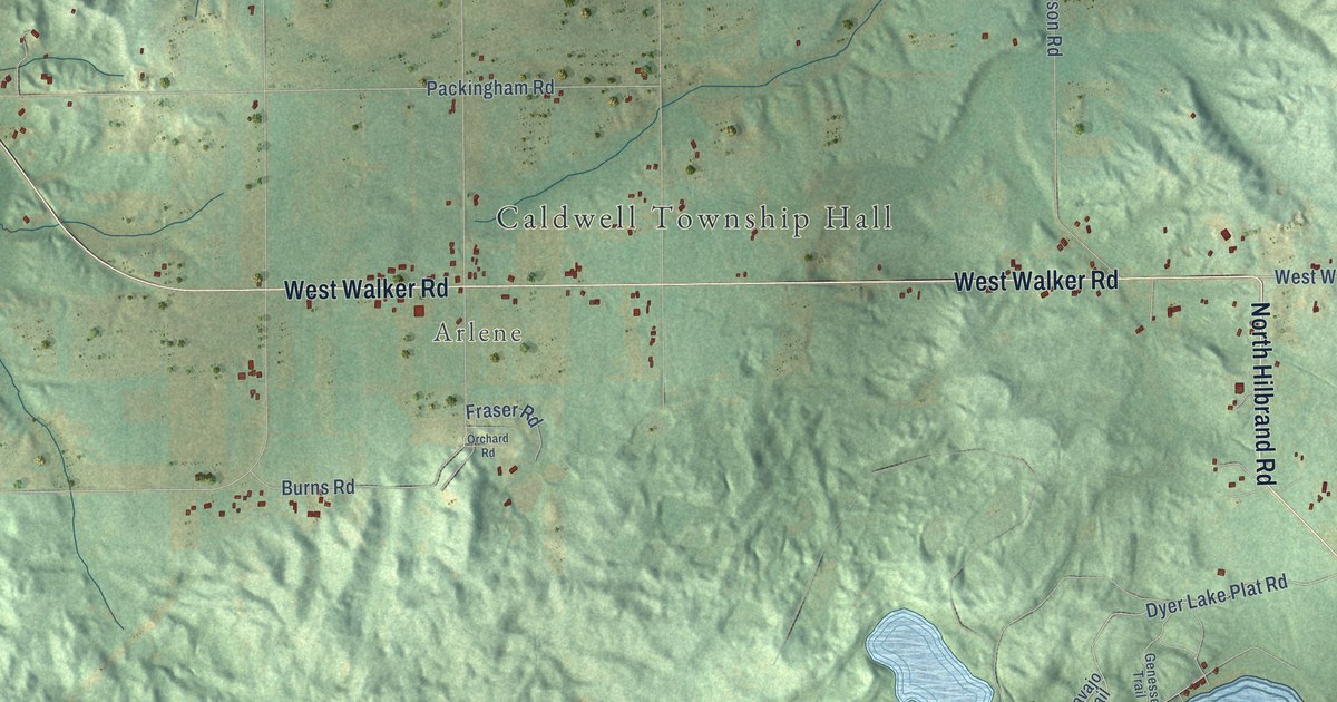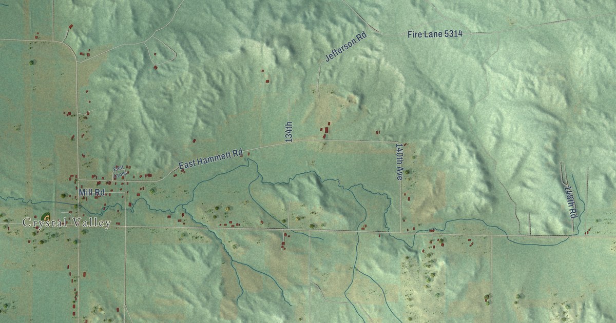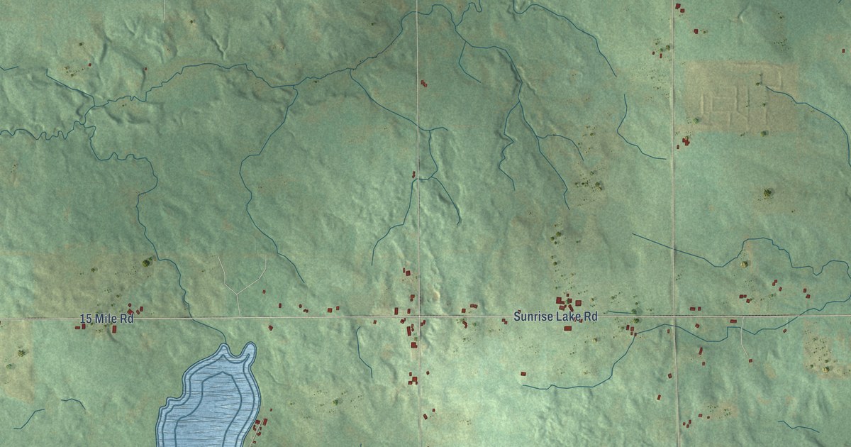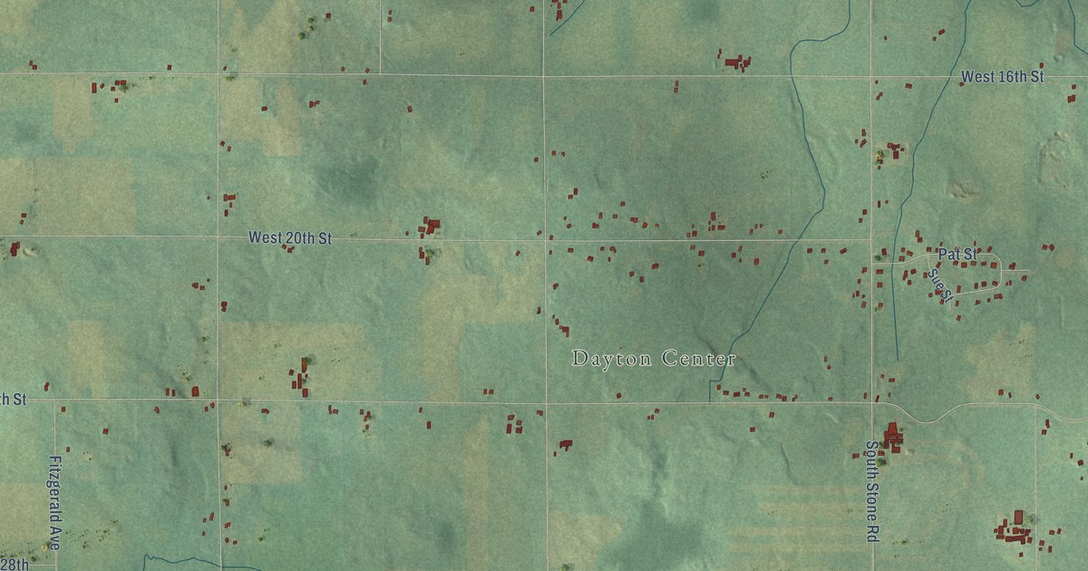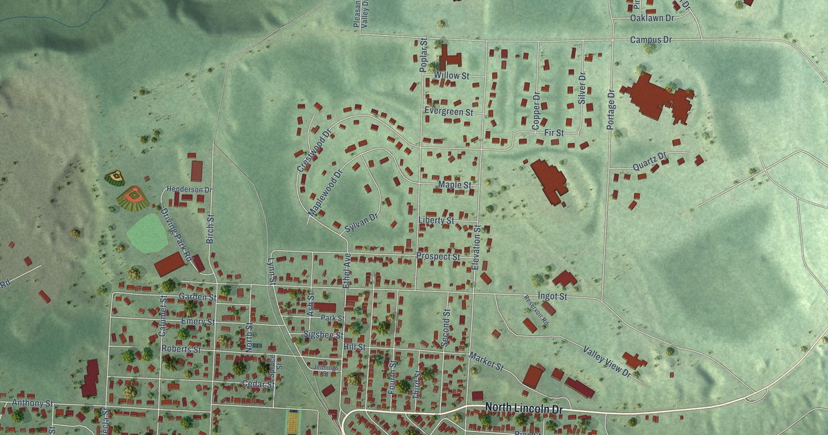
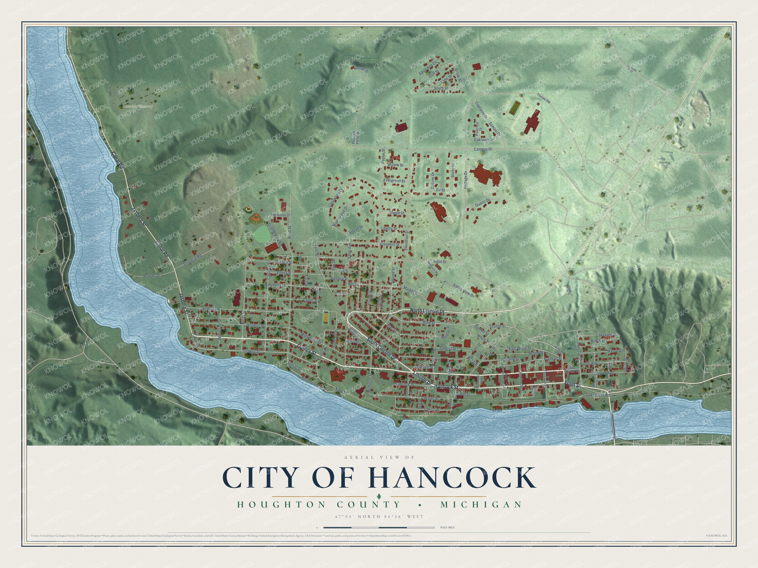
This beautifully detailed map of Hancock, Michigan was created in 2026 using aerial imagery combined with modern topographical, census, street and landmark data. It's a modern aerial view of Hancock in Houghton County, Michigan, that combines modern data with a vintage aesthetic. The roads feature printed names, and if you look closely you can find your exact house accurately shown in its correct location.
Explore an aerial view of Hancock, Michigan
On this map you'll find Lakeside Cemetery, Quincy Street, Hancock Street, Lincoln Drive, Front Street, South Lincoln Drive, North Lincoln Drive, Canal Road, Jasberg Street, Pumphouse Street, Shafter Street, Pine Street, and more. Each red shape is a building, so zoom in on the preview and look for yours.
Hancock has a story worth telling. The History of the Upper Peninsula of Michigan puts it this way: "The Leopold Brothers erected the first store building in Hancock in 1858. They came from Eagle Harbor and Eagle River as soon as the village was laid out, and started the first store."
Hancock is a city in Houghton County. The Census Bureau counted 4,501 people here in 2020.
Take a closer look at the Hancock map
Names on this map
These names are printed on this map.
Places: Lakeside Cemetery.
Streets and roads: Quincy Street, Hancock Street, Lincoln Drive, Front Street, South Lincoln Drive, North Lincoln Drive, Canal Road, Jasberg Street, Pumphouse Street, Shafter Street, Pine Street, East White Street.
More street names, A to Z
Anthony Street, Ash Street, Atlantic Street, Birch Street, Boulder Drive, Brock Street, Calumet Street, Campus Drive, Captains Drive, Cedar Street, Center Street, Church Street, Cliff Street, Conrad Street, Cooper Avenue, Copper Drive, County Road F-15, Crestwood Drive, Dakota Street, Depot Street, Disposal Road, Driving Park Road, Dunstan Street, East Quincy Street, East Street, Elevation Street, Elm Street, Emery Street, Emma Avenue, Ethel Avenue, Evergreen Street, Finn Street, Fir Street, Forest Street, Fourth Street, Franklin Street, Garden Street, Grove Street, Harris Avenue, Hecla Street, Henderson Drive, Hillside Street, Hill Street, Holland Street, Ingot Street, Jennings Street, Lahti Drive, Lake Avenue, Lake Front Road, Lakeview Drive, Liberty Street, Lower Lincoln Drive, Lynn Street, Maple Street, Maplewood Drive, Market Street, Mason Avenue, Mesnard Street, Michigan Street, Mill Street, Mine Street, Minnesota Street, Navy Street, North Montezuma Boulevard, North Street, Oaklawn Drive, Ohio Street, Olds Street, Park Street, Pinecrest Drive, Pleasant Valley Drive, Poplar Street, Portage Drive, Powder Drive, Prospect Street, Quartz Drive, Ravine Street, Reservoir Road, Road Street, Roberts Street, Ryan Street, Saint Ann Circle, Scallon Street, Scott Street, Second Street, Sigsbee Street, Silver Drive, South Street, Spruce Street, Summit Street, Sunset Drive, Sylvan Drive, Tezcuco Street, Third Street, Tomasi Drive, Tomasi Road, Valley View Drive, Vivian Street, Warren Street, Water Street, Weldon Street, White Street, Willow Street, Wolverine Street, Wright Street.
Created by KNOWOL in 2026. The buildings are small red shapes, the roads carry their printed names, and shaded relief shows the shape of the land. The title panel reads "AERIAL VIEW OF CITY OF HANCOCK, HOUGHTON COUNTY • MICHIGAN" with 47°08' NORTH 88°36' WEST.
It looks right in a kitchen, an office or a den, and it's a gift for anyone who grew up in Hancock or moved away. Open the preview and find your street. See sizes and frames for the Hancock map.