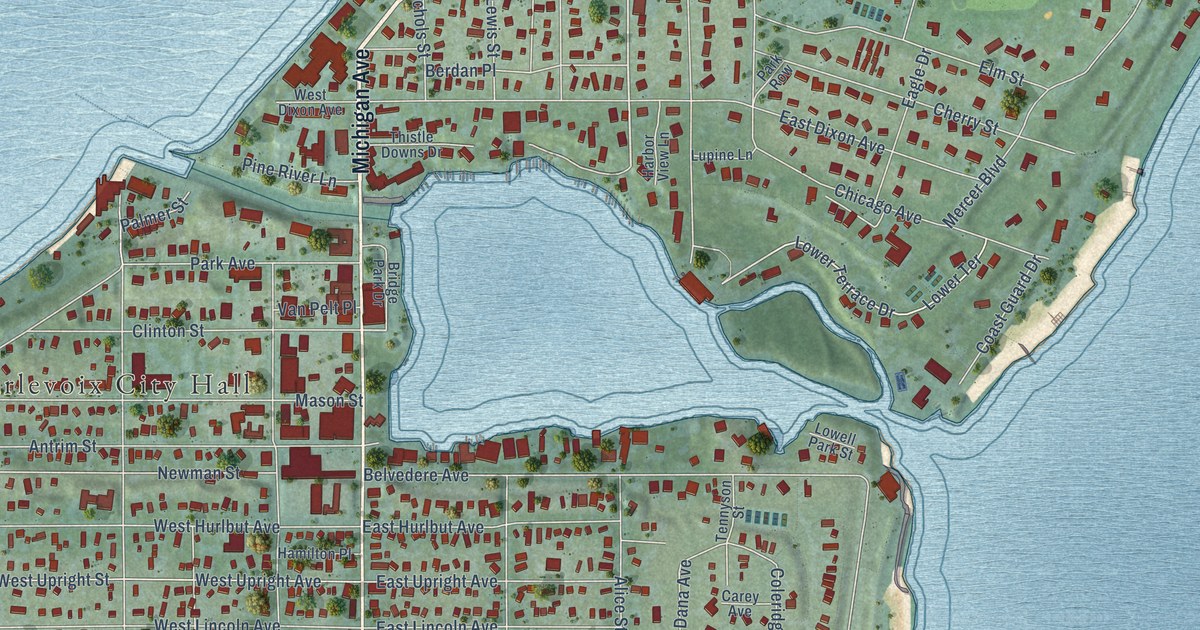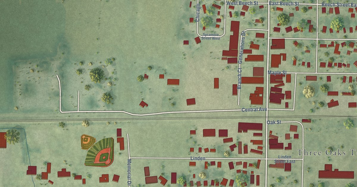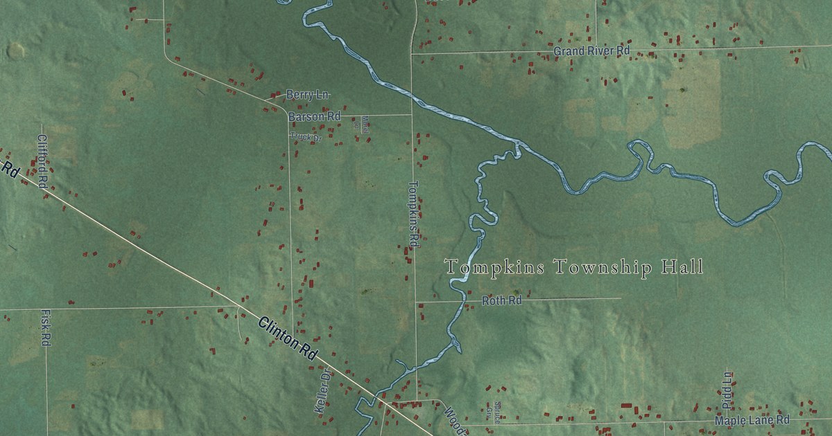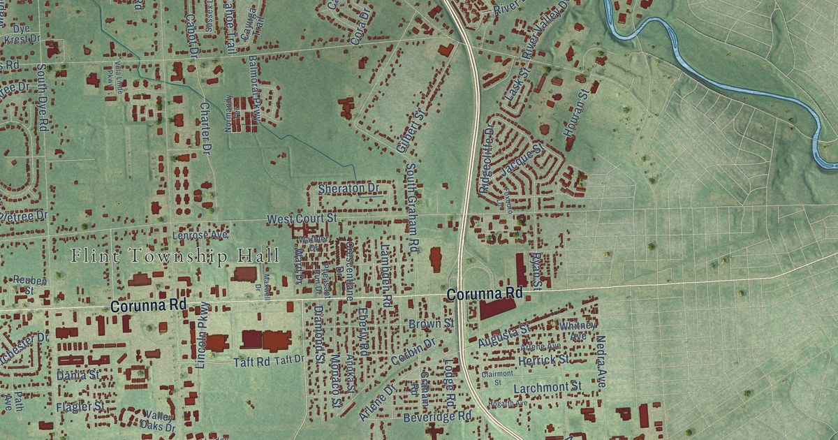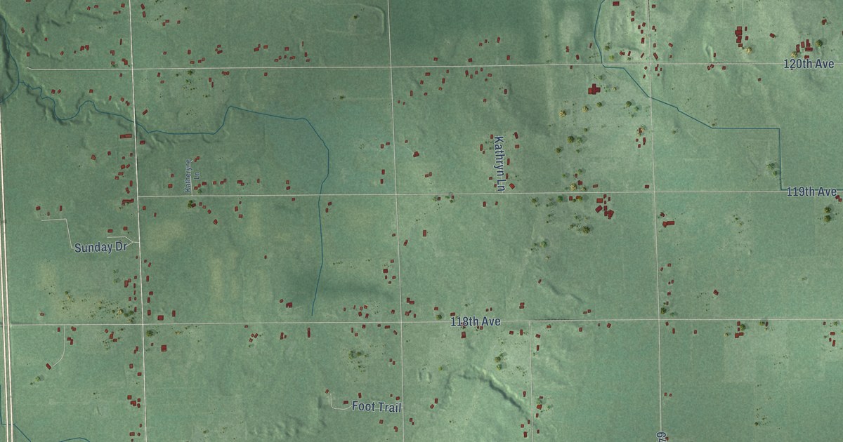
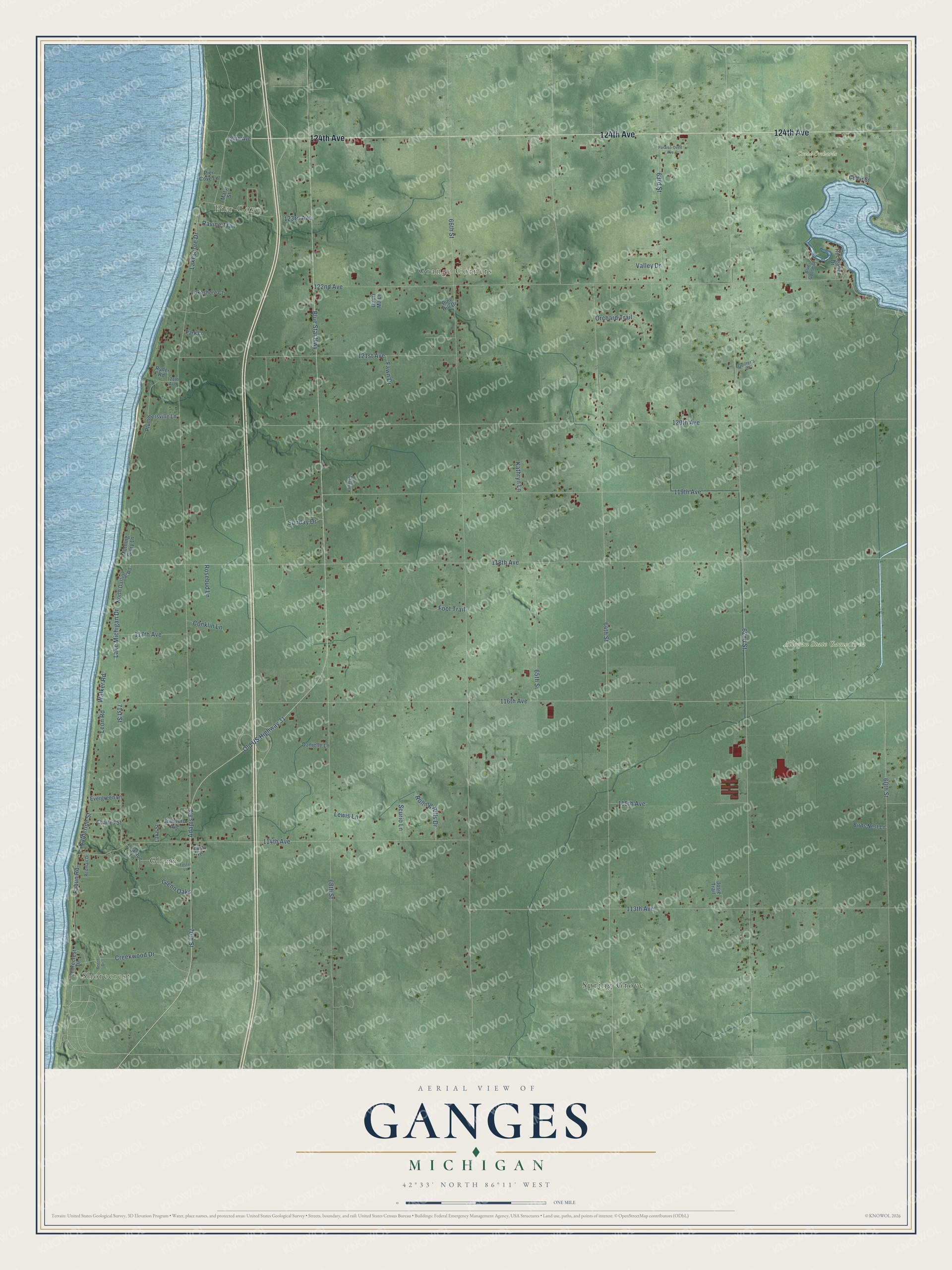
This beautifully detailed map of Ganges, Michigan was created in 2026 using aerial imagery combined with modern topographical, census, street and landmark data. It's a modern aerial view of Ganges in Allegan County, Michigan, that combines modern data with a vintage aesthetic. The roads feature printed names, and if you look closely you can find your exact house accurately shown in its correct location.
Explore an aerial view of Ganges, Michigan
On this map you'll find Shorecrest, Pier Cove, Glenn, Grange Corners, Allegan State Game Area, Crane Orchards, Spring Grove, 124th Avenue, Old US Highway 31, 70th Street, Blue Star Highway, Fabun Road, and more. Each red shape is a building, so zoom in on the preview and look for yours.
Ganges has a story worth telling. The Twentieth Century History of Allegan County puts it this way: "The First Baptist church of Ganges was organized as a branch of the Allegan church by Elder Harvey Munger, on July 16, 1853."
The Census Bureau counted 2,574 people here in 2020.
Take a closer look at the Ganges map
Names on this map
These names are printed on this map.
Places: Shorecrest, Pier Cove, Glenn, Grange Corners, Allegan State Game Area, Crane Orchards and Spring Grove.
Streets and roads: 124th Avenue, Old US Highway 31, 70th Street, Blue Star Highway, Fabun Road, Lake Michigan Drive, 62nd Street, 64th Street, 66th Street, 68th Street, 116th Avenue, 118th Avenue.
More street names, A to Z
60th Street, 63rd Street, 65th Street, 71st Street, 113th Avenue, 114th Avenue, 115th Avenue, 117th Avenue, 119th Avenue, 120th Avenue, 121st Avenue, 121th Avenue, 122nd Avenue, 123rd Avenue, Adams Road, Beech Drive, Birds Nest Lane, Blue Goose Drive, Cedar Street, Charles Street, Conklin Lane, Crawford Avenue, Creekwood Drive, Danielle Lane, East Avenue, Evergreen Lane, Fawn Drive, Foot Trail, Foster Lane, Gauri Ma Lane, Glenn Oaks, Josie Trail, Katherine Street, Katheryne Lane, Kathryn Lane, Lakeshore Court, Lakeshore Drive, Lake Street, La Rue Lane, Leon Road, Lewis Lane, Mary Street, Morning Glory Lane, North Darling Road, Orchard Trail, Paraiso-Oved Avenue, Park Lane, Pier Cove Lane, Pine Hill Drive, Plummersville Lane, Quilter's Court, Ravine Trail, Recreation Drive, Redman Drive, Rolling Hills Drive, Rosebud Lane, Ryder Road, Scurio Lane, Shorecrest Drive, Sunday Drive, Valley Drive, Walker Road.
Created by KNOWOL in 2026. The buildings are small red shapes, the roads carry their printed names, and shaded relief shows the shape of the land. The title panel reads "AERIAL VIEW OF GANGES, MICHIGAN" with 42°33' NORTH 86°11' WEST.
It looks right in a kitchen, an office or a den, and it's a gift for anyone who grew up in Ganges or moved away. Open the preview and find your street. See sizes and frames for the Ganges map.