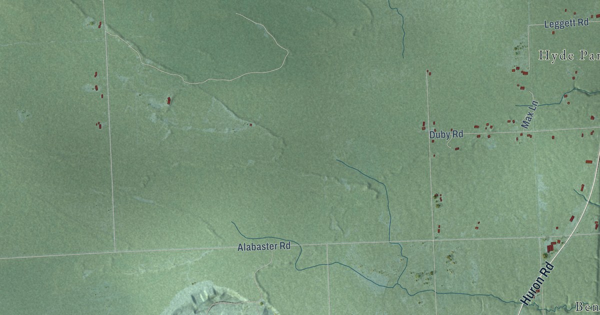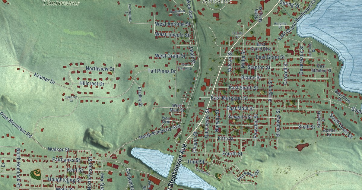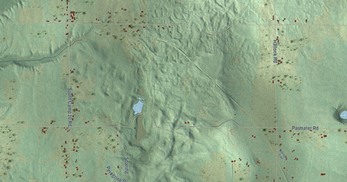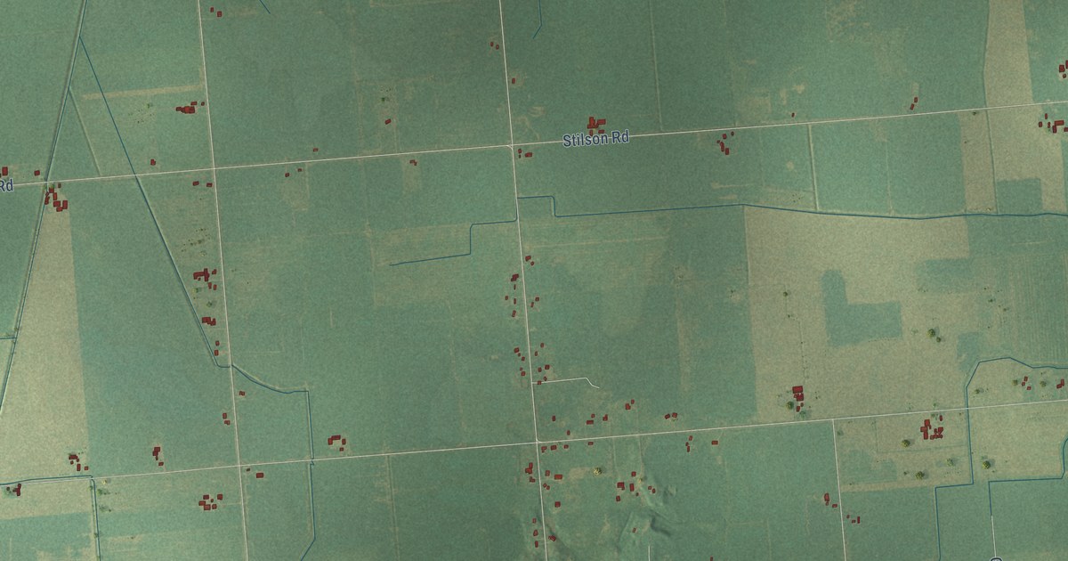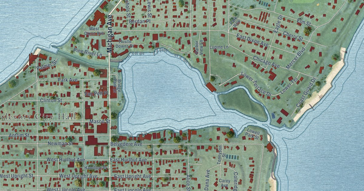
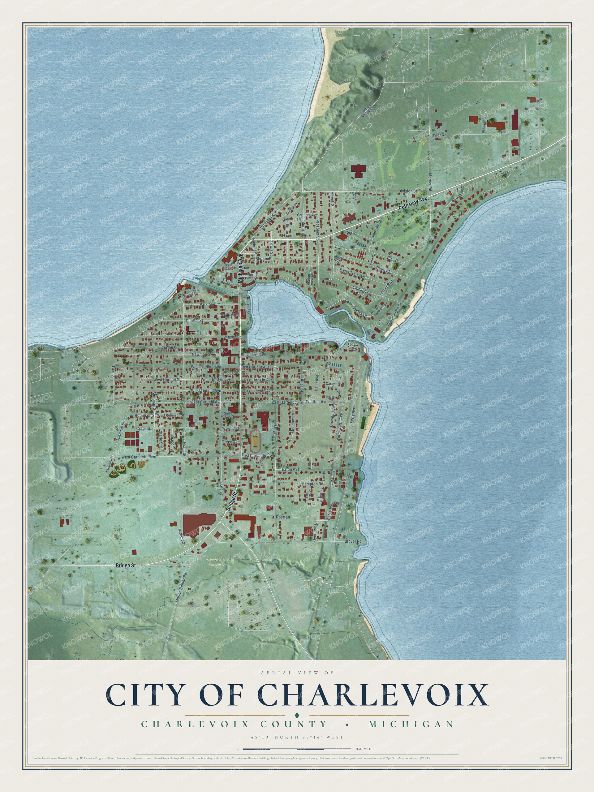
This beautifully detailed map of Charlevoix, Michigan was created in 2026 using aerial imagery combined with modern topographical, census, street and landmark data. It's a modern aerial view of Charlevoix in Charlevoix County, Michigan, that combines modern data with a vintage aesthetic. The roads feature printed names, and if you look closely you can find your exact house accurately shown in its correct location.
Explore an aerial view of Charlevoix, Michigan
On this map you'll find Charlevoix City Hall, Brookside Cemetery, Rotary Park, Michigan Avenue, Petoskey Avenue, Bridge Street, Division Street, Whittier Avenue, East Garfield Avenue, Burns Street, Lower Terrace Drive, State Street, and more. Each red shape is a building, so zoom in on the preview and look for yours.
Every town has a first chapter, and Charlevoix is no exception. The Traverse Region puts it this way: "The bank of Charlevoix was established in September, 1882, and was the first bank established in Charlevoix County. It was established, and the business is still carried on by Lewis Reynolds and W. P. Brown, under the firm name of Reynolds & Brown."
Charlevoix is a city in Charlevoix County. The Census Bureau counted 2,348 people here in 2020.
Take a closer look at the Charlevoix map
Names on this map
These names are printed on this map.
Places: Charlevoix City Hall, Brookside Cemetery and Rotary Park.
Streets and roads: Michigan Avenue, Petoskey Avenue, Bridge Street, Division Street, Whittier Avenue, East Garfield Avenue, Burns Street, Lower Terrace Drive, State Street, Stover Road, Mercer Boulevard, Ferry Avenue.
More street names, A to Z
Airport Drive, Alice Street, Ance Road, Antrim Street, Auld Avenue, Beacon Street, Belvedere Avenue, Belvedere Terrace, Berdan Place, Bridge Park Drive, Browning Avenue, Carey Avenue, Charlo Street, Cherry Street, Chicago Avenue, Clinton Street, Coast Guard Drive, Coleridge Street, Crain Street, Crouter Avenue, Dana Avenue, Eagle Drive, East Carpenter Avenue, East Dixon Avenue, East Hurlbut Avenue, East Lincoln Avenue, East Upright Avenue, Eaton Avenue, Eaton Court, Elm Street, Fairway Drive, Gibbons Drive, Grant Street, Green Avenue, Hamilton Place, Hampton Road, Harbor View Lane, Holmes Avenue, Kipke Lane, Lake Street, Leonard, Lewis Street, Loper Lane, Lowell Park Street, Lower Terrace, Lupine Lane, Maranatha, Marina Bluff Drive, Marion Center Road, Martin Road, Mason Street, May Street, Meadow Lane, Meech Street, Mercer Road, Mount McSauba Road, Nettleton Street, Newman Street, Nichols Street, Norwood Road, Oak Street, Overlook Drive, Palmer Street, Park Avenue, Park Row, Pine River Lane, Prospect Street, Robinson Street, Rose Lane, Saint Johns Drive, Saint Mary's Drive, Sheridan Street, Sherman Street, Stroud Court, Taylor Road, Tennyson Street, Terrace Street, Thistle Downs Drive, Van Pelt Place, West Carpenter Avenue, West Dixon Avenue, West Garfield Avenue, West Hurlbut Avenue, West Lincoln Avenue, West Robinson Street, West Upright Avenue, West Upright Street, Whitley, Wood Avenue, Wordsworth Avenue.
Created by KNOWOL in 2026. The buildings are small red shapes, the roads carry their printed names, and shaded relief shows the shape of the land. The title panel reads "AERIAL VIEW OF CITY OF CHARLEVOIX, CHARLEVOIX COUNTY • MICHIGAN" with 45°19' NORTH 85°16' WEST.
Hang it in the hallway, the office or the cabin, or give it to someone who left Charlevoix and still calls it home. Open the preview and look for a street you know. See sizes and frames for the Charlevoix map.