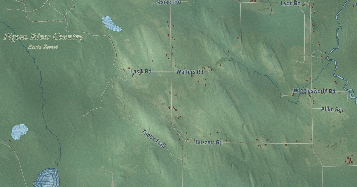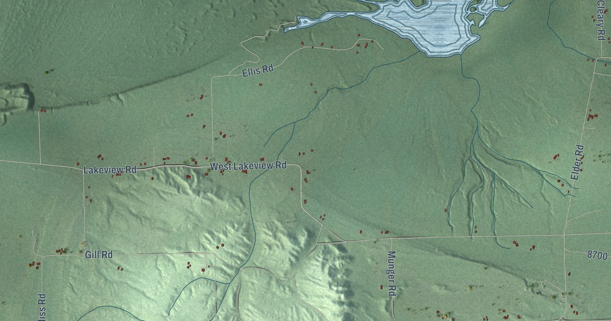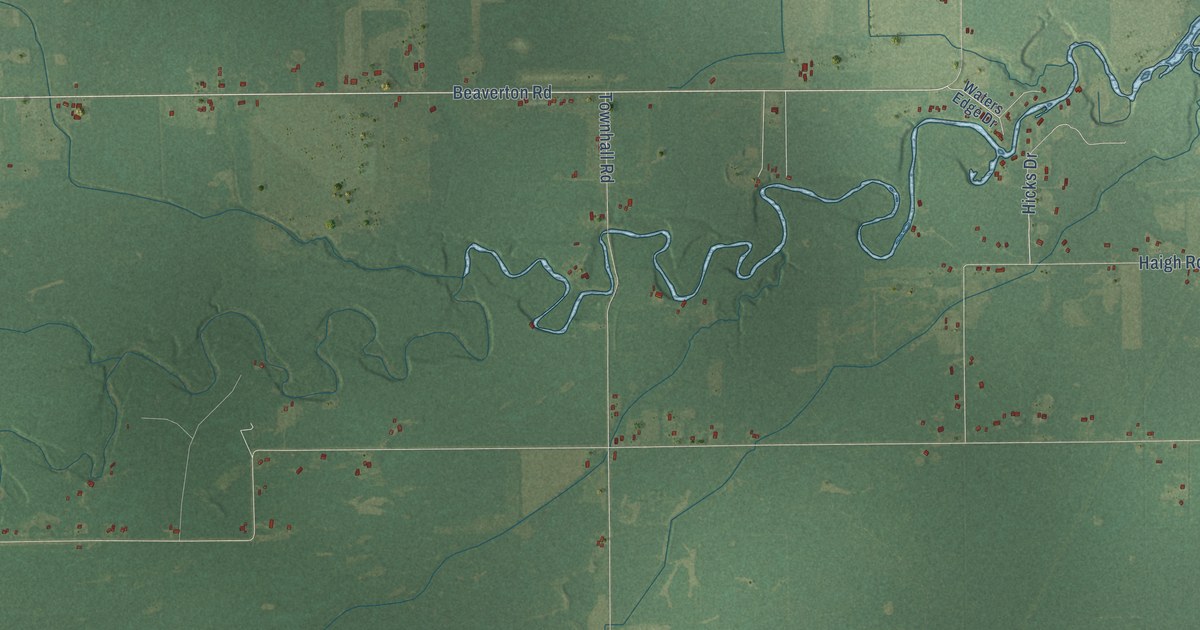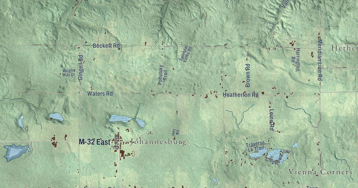
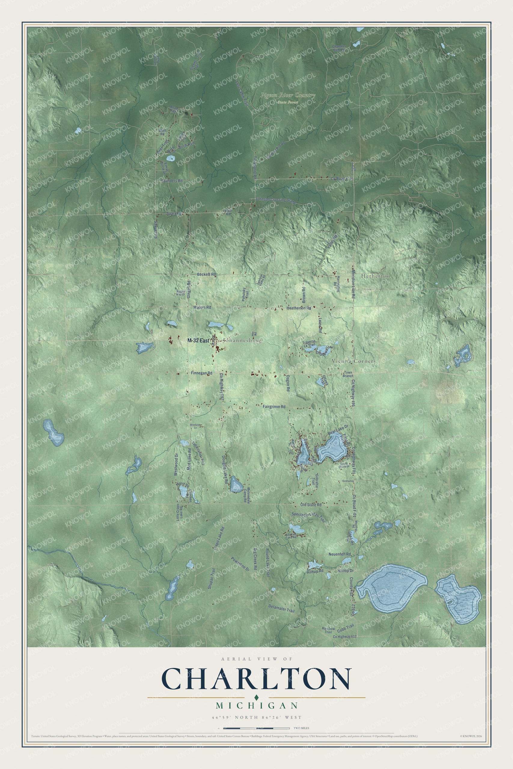
This beautifully detailed map of Charlton, Michigan was created in 2026 using aerial imagery combined with modern topographical, census, street and landmark data. It's a modern aerial view of Charlton in Otsego County, Michigan, that combines modern data with a vintage aesthetic. The roads feature printed names, and if you look closely you can find your exact house accurately shown in its correct location.
Explore an aerial view of Charlton, Michigan
On this map you'll find Hetherton, Johannesburg, Pigeon River Country State Forest, Vienna Corners, M-32 East, Meridian Line Road, Co Highway 495, Co Highway F01, Co Road F-01, County 612, Co 612, Johnson Crossing Grade, and more. Each red shape is a building, so zoom in on the preview and look for yours.
The Census Bureau counted 1,350 people here in 2020. The map prints the town name in its title panel, with the coordinates below it.
Take a closer look at the Charlton map
Names on this map
These names are printed on this map.
Places: Hetherton, Johannesburg, Pigeon River Country State Forest and Vienna Corners.
Streets and roads: M-32 East, Meridian Line Road, County Highway 495, County Highway F01, County Road F-01, County 612, Johnson Crossing Grade, Hilltop Drive, Sparr Road, Cobb Trail, Valley Road, Crapo Lake Road.
More street names, A to Z
13th Street, Apple Street, Beach Drive, Bean Trail, Bear Lake Drive, Beckett Road, Big Creek Road, Birch Run, Birch Street, Birch Trail, Birchview Lane, Brown Road, Caulkins Lake Road, Chandler Dam Road, Charlton Road, Chippewa Trail, County Highway 612, County Highway 622, County Highway F97, County Road F-44, Crystal Road, Dagon Road, Deer Trail, Delamater Trail, Douglas Lake Road, Elmac Circle Drive, Fairgrieve Road, Finnegan Road, Gee Lake Trail, Gilbraltar Trail, Gingell Road, Gornick Trail, Green's Trail, Greens Trail, Harrington Road, Heatherton Road, Hilltop Road, Honey Lane, Hoy Road, Larch, Leino Road, Little Crapo Lake Road, Lost Cabin Trail, Melvindale Camp Road, Meridian Road, Moore Road, Mud Lake Road, Neuenfelt Road, Old State Road, Ottawa Trail, Penny Street, Pleasant Place Drive, Pohutsky Trail, Powerline Drive, Quietacres, Rainbow Trail, Round Lake Trail, Saunders Road, Sawdust Pile Road, Sawyer Road, Shell Road, Shupac Trail, South Shore Drive, Spectacle Lakes Trail, Splendor Valley Road, Tabaczynski Trail, Timber Trail, Tin Shanty Road, Town Branch, Traverse Lk Trail, Waters Road, West Shore Lane, Westwood Drive, Wolf Road, Wright Way Drive.
Created by KNOWOL in 2026. The buildings are small red shapes, the roads carry their printed names, and shaded relief shows the shape of the land. The title panel reads "AERIAL VIEW OF CHARLTON, MICHIGAN" with 44°59' NORTH 84°26' WEST.
Hang it in the hallway, the office or the cabin, or give it to someone who left Charlton and still calls it home. Open the preview and look for a street you know. See sizes and frames for the Charlton map.