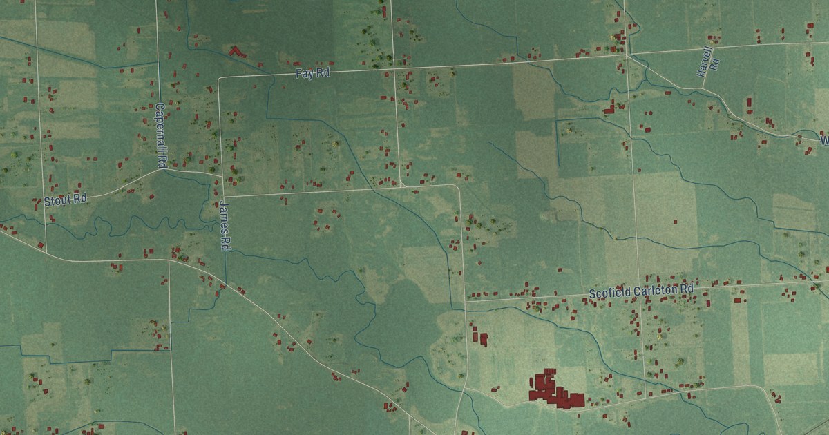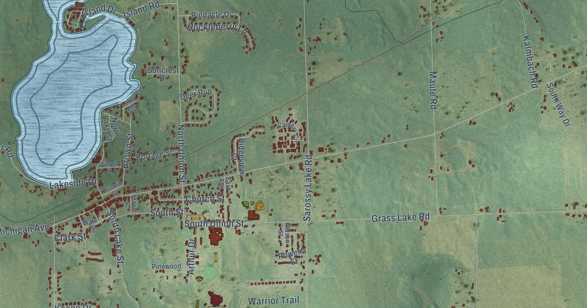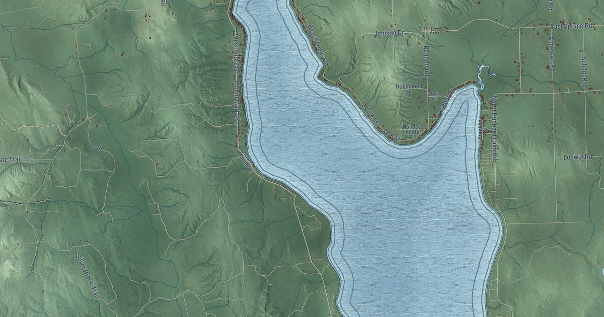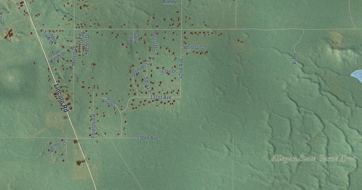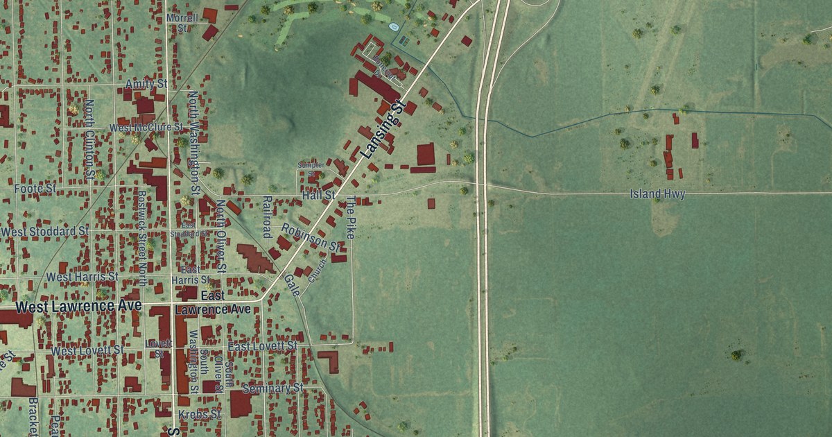
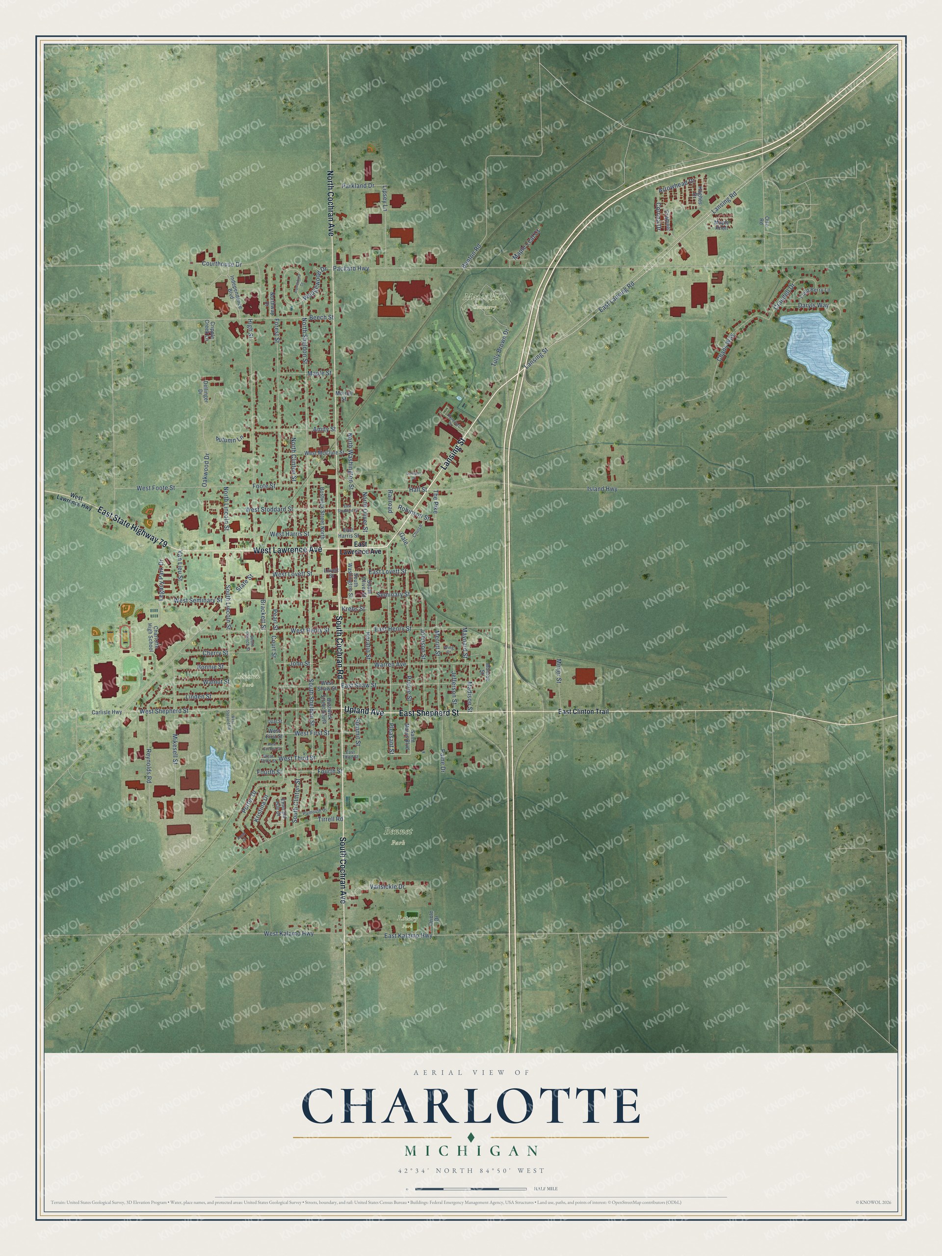
This beautifully detailed map of Charlotte, Michigan was created in 2026 using aerial imagery combined with modern topographical, census, street and landmark data. It's a modern aerial view of Charlotte in Eaton County, Michigan, that combines modern data with a vintage aesthetic. The roads feature printed names, and if you look closely you can find your exact house accurately shown in its correct location.
Explore an aerial view of Charlotte, Michigan
On this map you'll find Bennet Park, Lincoln Park, Maple Hill Cemetery, Rotary Park, Lansing Street, South Cochran Road, Upland Avenue, East Shepherd Street, West Lawrence Avenue, South Cochran Avenue, North Cochran Avenue, East State Highway 79, and more. Each red shape is a building, so zoom in on the preview and look for yours.
Every town has a first chapter, and Charlotte is no exception. The History of Ingham and Eaton Counties puts it this way: "The place of meeting was changed to Charlotte, Sept. 1, 1852, and the name changed to the First Congregational Church of Charlotte."
Charlotte is a city in Eaton County. The Census Bureau counted 9,299 people here in 2020.
Take a closer look at the Charlotte map
Names on this map
These names are printed on this map.
Places: Bennet Park, Lincoln Park, Maple Hill Cemetery and Rotary Park.
Streets and roads: Lansing Street, South Cochran Road, Upland Avenue, East Shepherd Street, West Lawrence Avenue, South Cochran Avenue, North Cochran Avenue, East State Highway 79, Pleasant Street, Lansing Road, West Shepherd Street, East Lovett Street.
More street names, A to Z
Amity Street, Angel Court, Arrowhead Drive, Autumn Lane, Beech Street, Benton Road, Bonnie Street, Bostwick Street North, Bostwick Street South, Brackett Street, Butternut Drive, Canterbury Drive, Carlisle Highway, Chads Way, Charlotte High School, Cherry Street, Church, Corona Drive, Courthouse Drive, Court Street, Cramner, Crandell Drive, Cripple Creek Lane, Daryls Way, Dellinger Drive, East Clinton Trail, East Harris Street, East Henry Street, East Kalamo Highway, East Lansing Road, East Lawrence Avenue, East Shaw Street, East Stoddard Street, East Third Street, Emerald Isle Drive, Field Berry Lane, Foote Street, Forest Street, Fourth Street, Gale, Hall Street, High Street, Horatio Street, Hughes Drive, Independence Boulevard, Island Highway, Jefferson Street, Johnson Street, John Street, Krebs Street, Kristina Drive, Legacy Park Drive, Linden Street, Lipsey Lane, Lovett Street, Madison Street, Maple Knoll, Maple Leaf Court, Maple Street, Maynard Street, Meijer Street, Merritt Street, Mikesell Street, Monroe Street, Morrell Street, North Clinton Street, North Lincoln Street, North Oliver Street, North Sheldon Street, North Washington Street, Northway Drive, Oakwood Drive, Opal Street, Oriole Drive, Otto Road, Packard Highway, Paine Drive, Parkland Drive, Pearl Street, Plymouth Drive, Porter Drive, Prairie Street, Railroad, Reynolds Road, Robinson Street, Saint Marys Boulevard, Seminary Street, South Church Street, South Clinton Street, South Lincoln Street, South Oliver Street, South Sheldon Street, South Washington Street, State Street, Summit Street, Sumpter Street, The Pike, Tirrell Road, Tully Brown Drive, Van Lieu Street, Vansickle Drive, Walnut Street, Warren Avenue, Wedgewood Drive, West First Street, West Foote Street, West Harris Street, West Henry Street, West Kalamo Highway, West Lawrence Highway, West Lovett Street, West McClure Street, West Second Street, West Seminary Street, West Shaw Street, West Shepard Road, West Stoddard Street, West Third Street, Wing Court.
Created by KNOWOL in 2026. The buildings are small red shapes, the roads carry their printed names, and shaded relief shows the shape of the land. The title panel reads "AERIAL VIEW OF CHARLOTTE, MICHIGAN" with 42°34' NORTH 84°50' WEST.
Hang it in the hallway, the office or the cabin, or give it to someone who left Charlotte and still calls it home. Open the preview and look for a street you know. See sizes and frames for the Charlotte map.