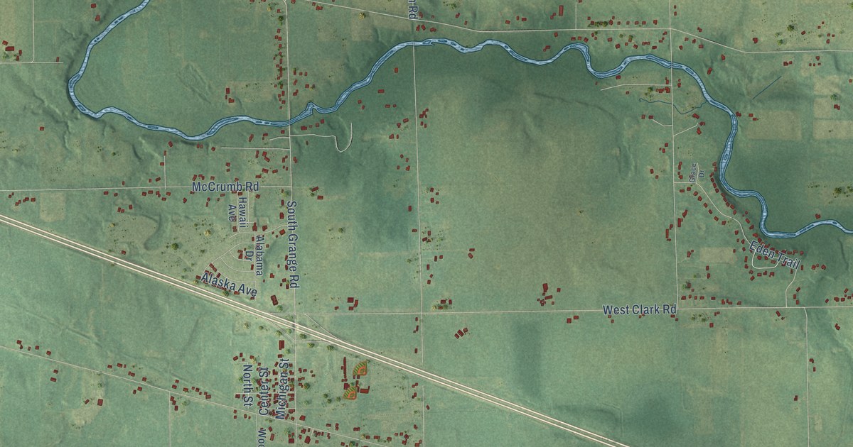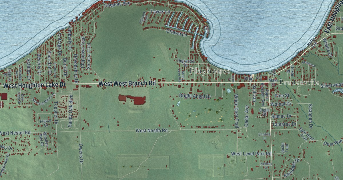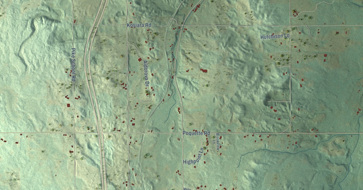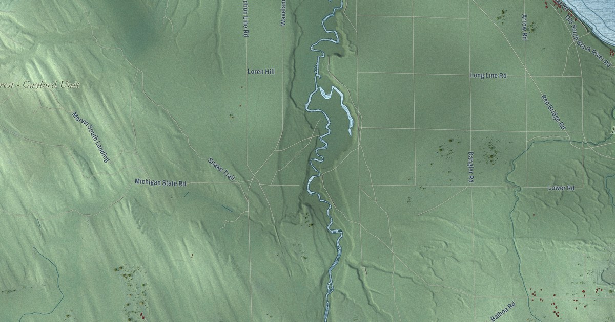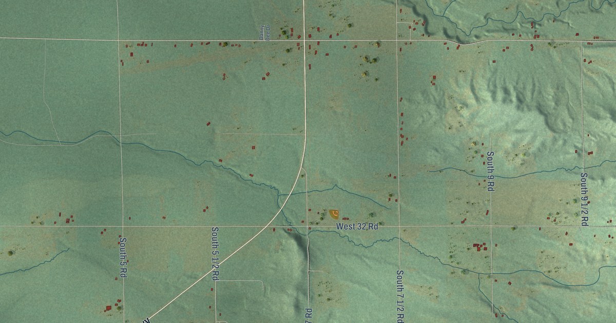
This beautifully detailed map of Slagle, Michigan was created in 2026 using aerial imagery combined with modern topographical, census, street and landmark data. It's a modern aerial view of Slagle in Wexford County, Michigan, that combines modern data with a vintage aesthetic. The roads feature printed names, and if you look closely you can find your exact house accurately shown in its correct location.
Explore an aerial view of Slagle, Michigan
On this map you'll find Manistee National Forest – Cadillac Ranger District, Grandview Highway, South State Highway 37, West 34 1/2 Road, Schlagle Street, West 30 Road, South 11 1/2 Road, South 5 1/2 Road, No 1 Road, South 5 1/2, West 28 Road, South 13 Road, and more. Each red shape is a building, so zoom in on the preview and look for yours.
Here is a piece of Slagle history, in the words of the record. The Wexford County History puts it this way: "There is a fine trout stream, the Slagle creek, running through the edge of the village, and two years ago the state fish commissioners decided that it was just the place for a fish hatchery."
The Census Bureau counted 509 people here in 2020.
Take a closer look at the Slagle map
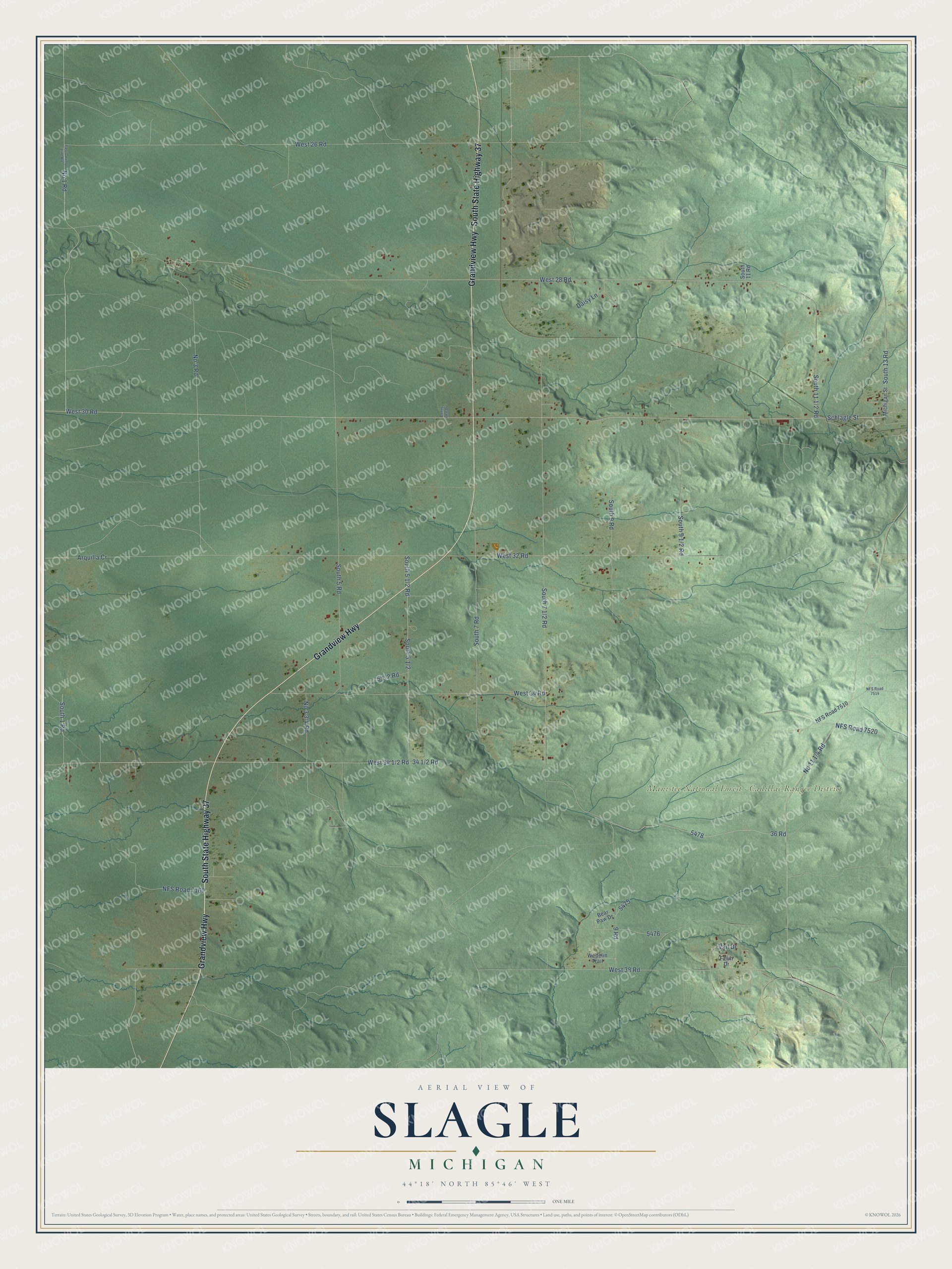
Names on this map
These names are printed on this map.
Places: Manistee National Forest - Cadillac Ranger District.
Streets and roads: Grandview Highway, South State Highway 37, Schlagle Street, West 30 Road, No 1 Road, West 28 Road, South 13 Road, NFS Road 7520, No 3 Road, 36 Road, West 38 Road, West 32 Road.
More street names, A to Z
9 Road, Arquilla Cr, Bear Paw Drive, Daisy Lane, Danny Dee Drive, East County Line Road, Fawn Drive, Michigan Street, NFS Road 7160, NFS Road 7510, NFS Road 7514, South 1 Road, South 5 Road, South 7 Road, South 9 Road, South 11 Road, Vail Drive, Wedelin Trail, West 26 Road, West 34 Road.
Created by KNOWOL in 2026. The buildings are small red shapes, the roads carry their printed names, and shaded relief shows the shape of the land. The title panel reads "AERIAL VIEW OF SLAGLE, MICHIGAN" with 44°18' NORTH 85°46' WEST.
It suits a den, a classroom or a front hall, and it makes a gift for anyone with Slagle roots. Open the preview and find the block you know. See sizes and frames for the Slagle map.