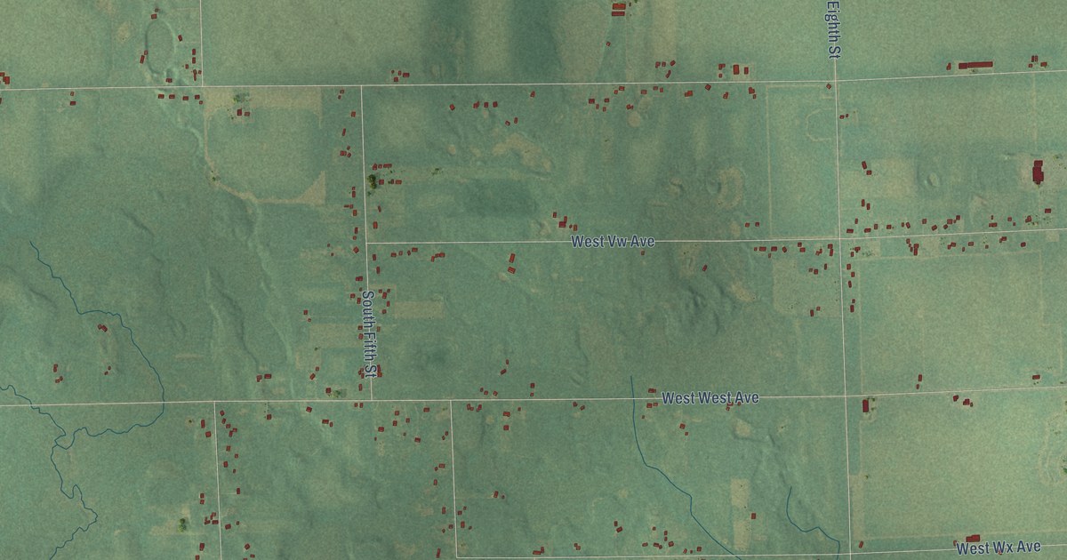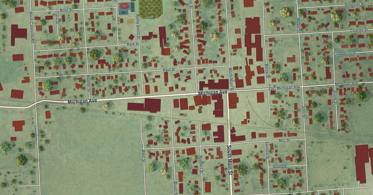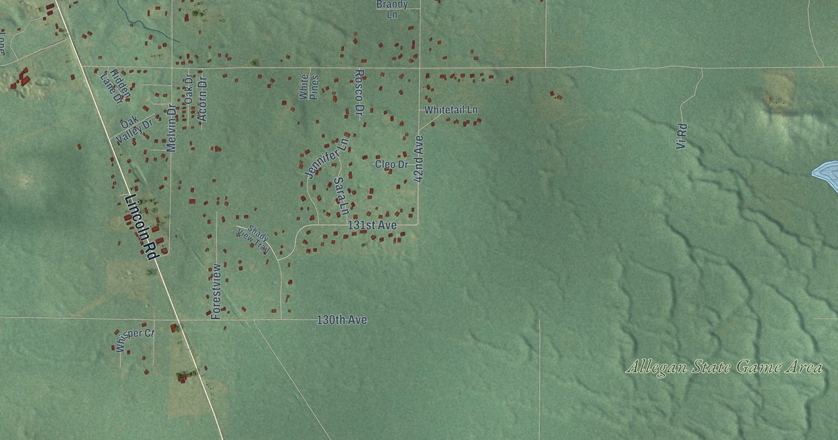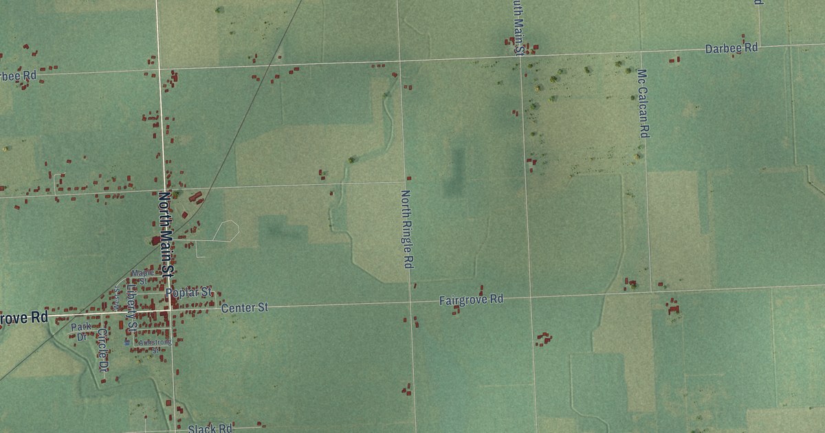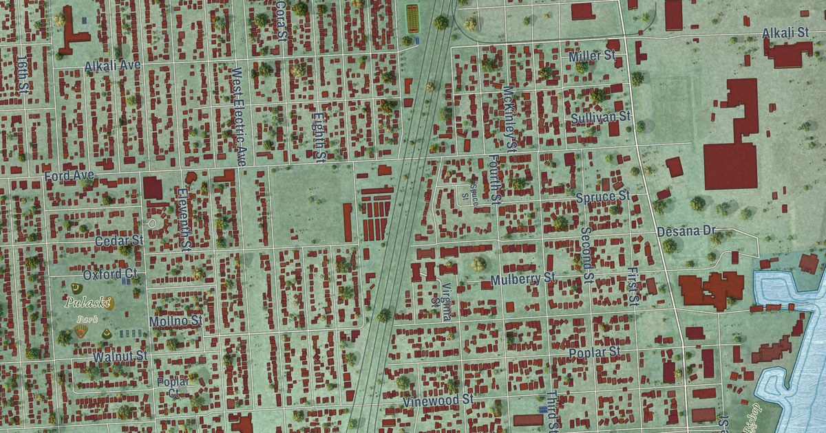
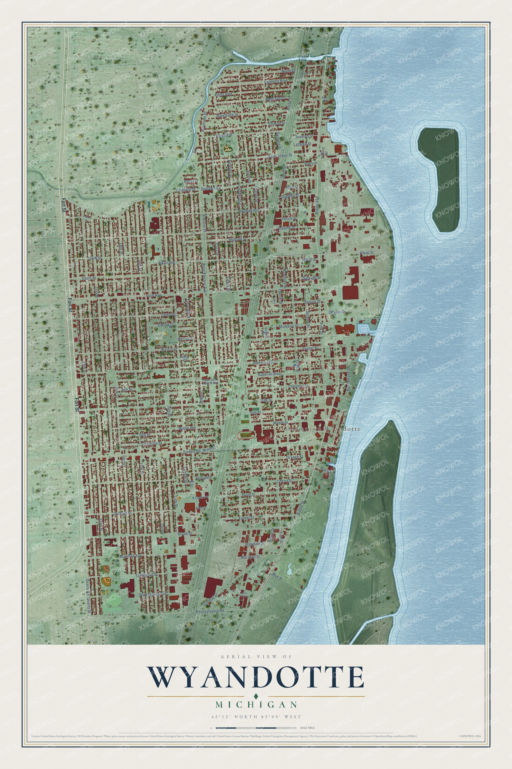
This beautifully detailed map of Wyandotte, Michigan was created in 2026 using aerial imagery combined with modern topographical, census, street and landmark data. It's a modern aerial view of Wyandotte in Wayne County, Michigan, that combines modern data with a vintage aesthetic. The roads feature printed names, and if you look closely you can find your exact house accurately shown in its correct location.
Explore an aerial view of Wyandotte, Michigan
On this map you'll find Downtown Wyandotte, Pulaski Park, Bishop Park, Fort Street, Biddle Avenue, Biddle Street, Seventh Street, Goddard Road, Goddard Street, Bondie Street, Riverside Drive, Ninth Street, and more. Each red shape is a building, so zoom in on the preview and look for yours.
Wyandotte has a story worth telling. The record at arcgis.com puts it this way: "Ward, pioneer industrialist in many fields, built the Eureka Iron Works in Wyandotte in 1854."
Wyandotte is a city in Wayne County. The Census Bureau counted 25,058 people here in 2020.
Take a closer look at the Wyandotte map
Names on this map
These names are printed on this map.
Places: Downtown Wyandotte, Pulaski Park, Bishop Park and F.O.P. Park.
Streets and roads: Fort Street, Biddle Avenue, Biddle Street, Seventh Street, Goddard Road, Goddard Street, Bondie Street, Riverside Drive, Ninth Street, Walnut Street, Electric Street, Alkali Avenue.
More street names, A to Z
13th Street, 14th Street, 15th Street, 16th Street, 17th Street, 18th Street, 19th Street, 20th Street, 21st Street, 22nd Street, 23rd Street, Adelaide Street, Albion Street, Alfred Street, Alkali Street, Antoine Street, Arch Street, Ash Street, Baumey Avenue, Baumey Street, Bennett Street, Cadon Street, Cedar Street, Central Street, Cherry Street, Chestnut Street, Clark Street, Clifford Street, Clinton Street, Cora Street, Davis Street, Dee Street, Desana Drive, Eighth Street, Eleventh Street, Elm Street, Emmons Boulevard, Eureka Road, Felice Street, Fifth Street, First Street, Ford Avenue, Forest Street, Fourth Street, Garfield Street, Goddell Street, Grove Street, Hazel Street, Highland Street, Hillsdale Street, Hudson Street, James Street, Kings Highway, Labadie Street, Lee Street, Lincoln Street, Lindbergh Street, Ludington Street, Maple Avenue, Maple Street, Marshall Avenue, Marshall Street, McKinley Street, Miller Street, Mollno Street, Mulberry Street, New Street, North Drive, Oak Street, Orange Street, Orchard Street, Oxford Court, Parklane Street, Pennsylvania Road, Perry Place, Pine Street, Plum Street, Pope John Paul II Avenue, Poplar Court, Poplar Street, Quarry Road, Quarry Street, Riverbank Street, River Court, Saint Ignace Avenue, Saint Ignace Street, Saint Johns Street, Second Street, Sixth Street, Spruce Street, Spuce Street, Stoll Street, Sullivan Street, Superior Boulevard, Sycamore Street, Tenth Street, Third Street, Twelfth Street, Van Alstyne Street, Vinewood Street, Virginia Street, West Electric Avenue, Wye Street.
Created by KNOWOL in 2026. The buildings are small red shapes, the roads carry their printed names, and shaded relief shows the shape of the land. The title panel reads "AERIAL VIEW OF WYANDOTTE, MICHIGAN" with 42°12' NORTH 83°09' WEST.
It looks right in a kitchen, an office or a den, and it's a gift for anyone who grew up in Wyandotte or moved away. Open the preview and find your street. See sizes and frames for the Wyandotte map.