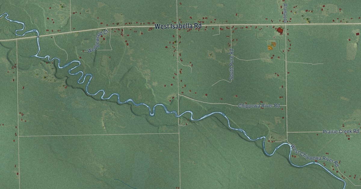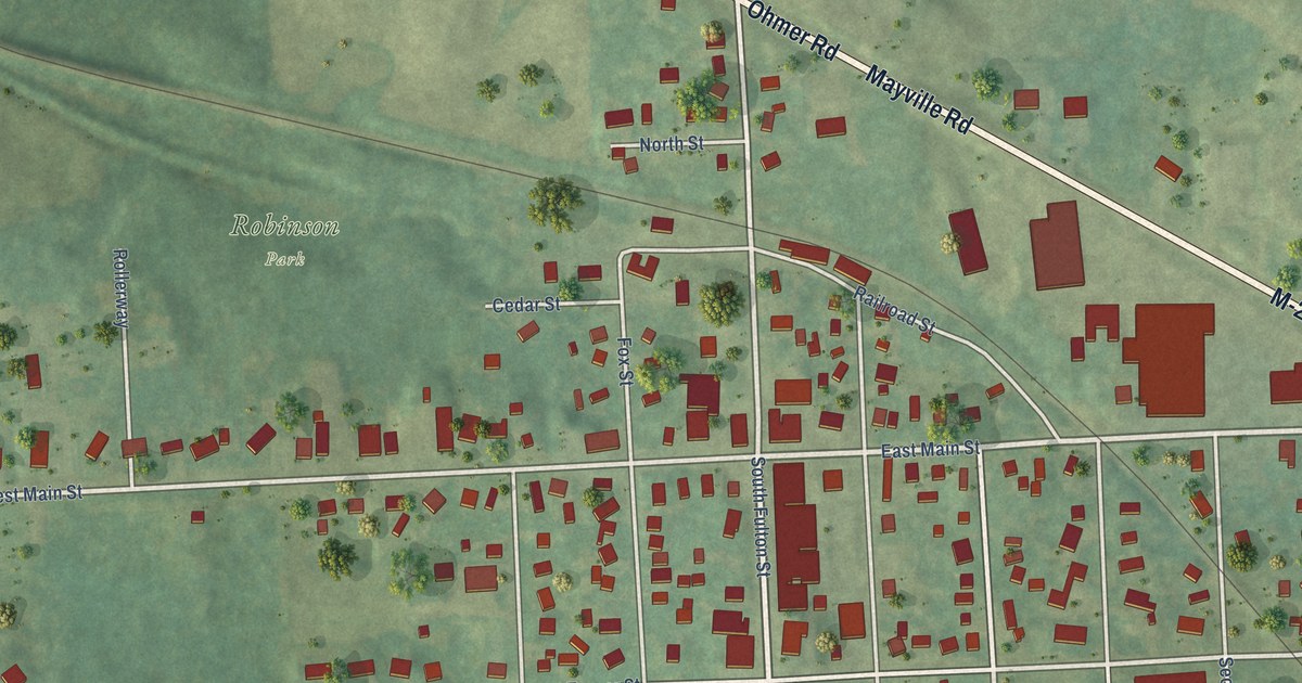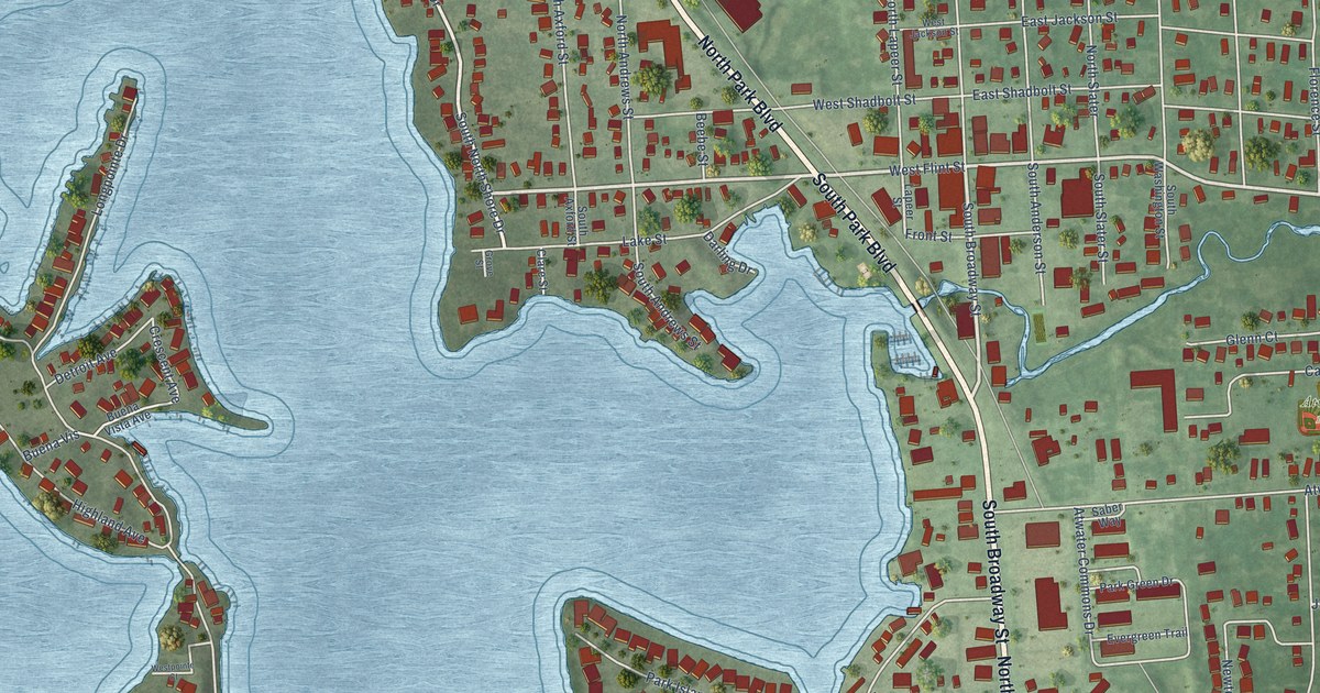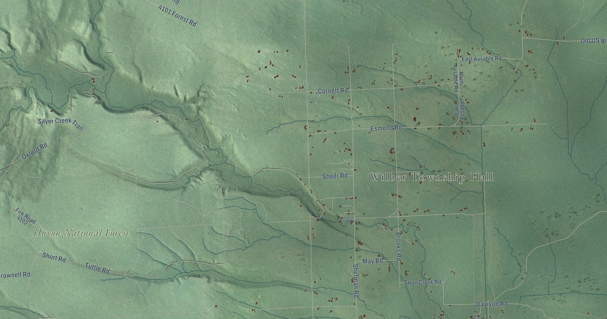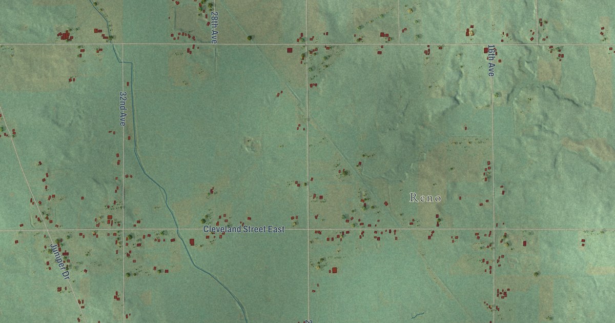
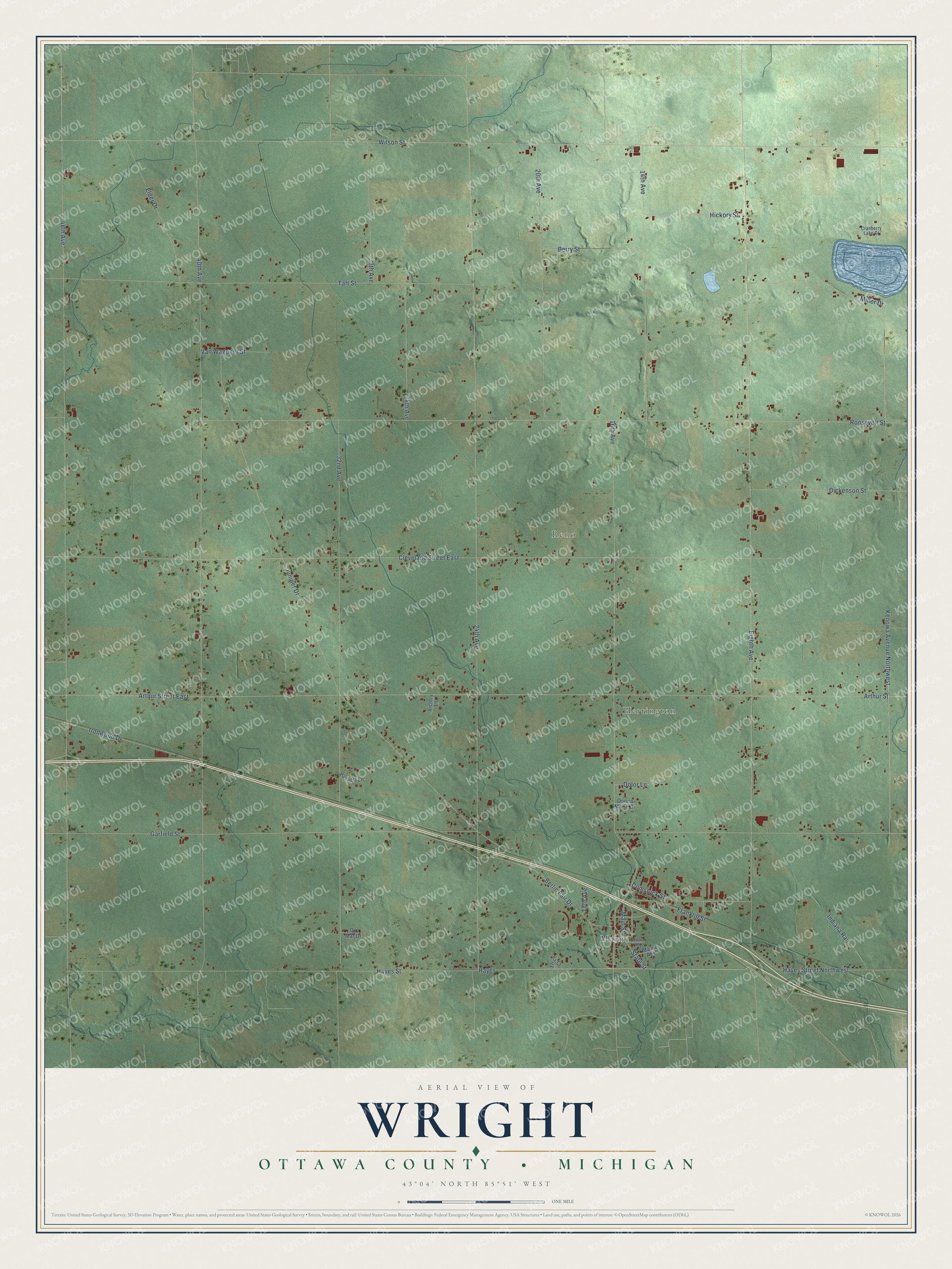
This beautifully detailed map of Wright, Michigan was created in 2026 using aerial imagery combined with modern topographical, census, street and landmark data. It's a modern aerial view of Wright in Ottawa County, Michigan, that combines modern data with a vintage aesthetic. The roads feature printed names, and if you look closely you can find your exact house accurately shown in its correct location.
Explore an aerial view of Wright, Michigan
On this map you'll find Marne, Herrington, Reno, Hayes Street, Hayes, Wilson Street, Arthur Street, Arthur Street East, Hayes Street Northwest, Eighth Avenue, 48th Avenue, 24th Avenue, and more. Each red shape is a building, so zoom in on the preview and look for yours.
Here is a piece of Wright history, in the words of the record. The Compendium of Ottawa County puts it this way: "F. Laubach settled in Wright in 1852, and for many years took an active part in public affairs; representing his district in the legislature several terms. R. B. McCulloch was one of the first to arrive in the county."
The Census Bureau counted 3,190 people here in 2020.
Take a closer look at the Wright map
Names on this map
These names are printed on this map.
Places: Marne, Herrington and Reno.
Streets and roads: Hayes Street, Hayes, Wilson Street, Arthur Street, Arthur Street East, Hayes Street Northwest, Eighth Avenue, 48th Avenue, 24th Avenue, 40th Avenue, Cleveland Street East, Roosevelt Street.
More street names, A to Z
14th Avenue, 16th Avenue, 18th Avenue, 20th Avenue, 28th Avenue, 30th Avenue, 32nd Avenue, Amelia Court, Berlin Fair Drive, Berry Street, Comstock Street, Cranberry Lake Court, Dickenson Street, Dolor Lane, Do Mar Drive, Donna Marie Drive, Elder Drive, Franklin Street, Garfield Street, Harvest Lane, Hickory Street, Indiana Rail, Ironwood Drive, Juniper Drive, Kenowa Avenue Northwest, Main Street, Maple Avenue, Miller Drive, State Street, Taft Street, Tisch Court, Van Wagoner Street, Victory Lane.
Created by KNOWOL in 2026. The buildings are small red shapes, the roads carry their printed names, and shaded relief shows the shape of the land. The title panel reads "AERIAL VIEW OF WRIGHT, OTTAWA COUNTY • MICHIGAN" with 43°04' NORTH 85°51' WEST.
It suits a den, a classroom or a front hall, and it makes a gift for anyone with Wright roots. Open the preview and find the block you know. See sizes and frames for the Wright, Ottawa County map.