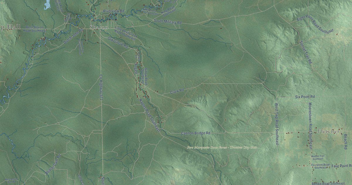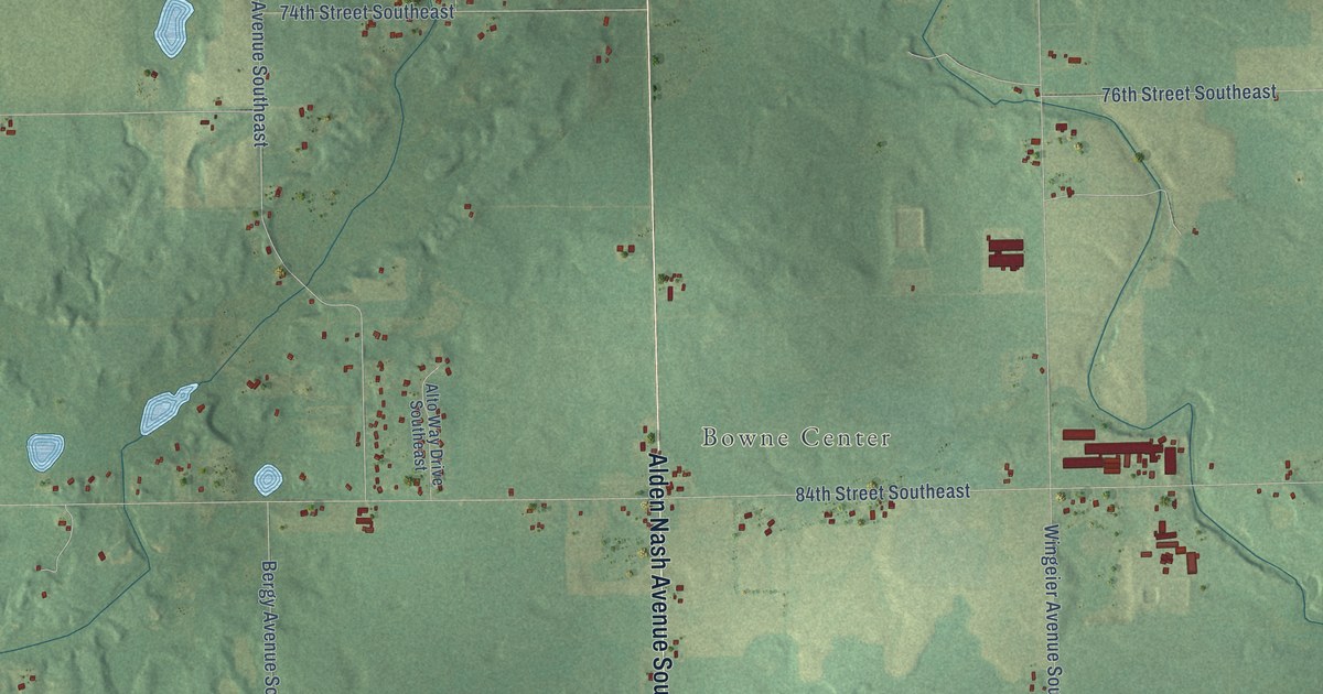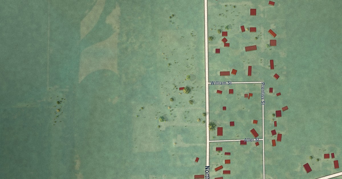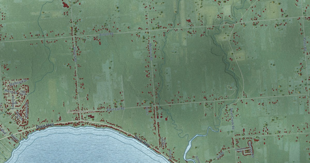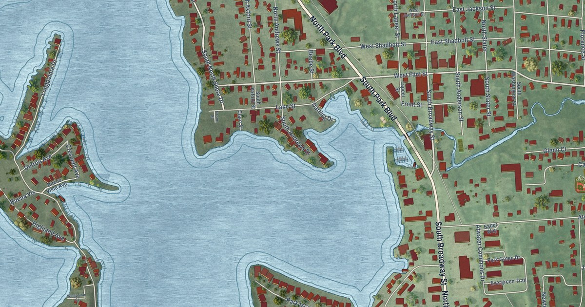
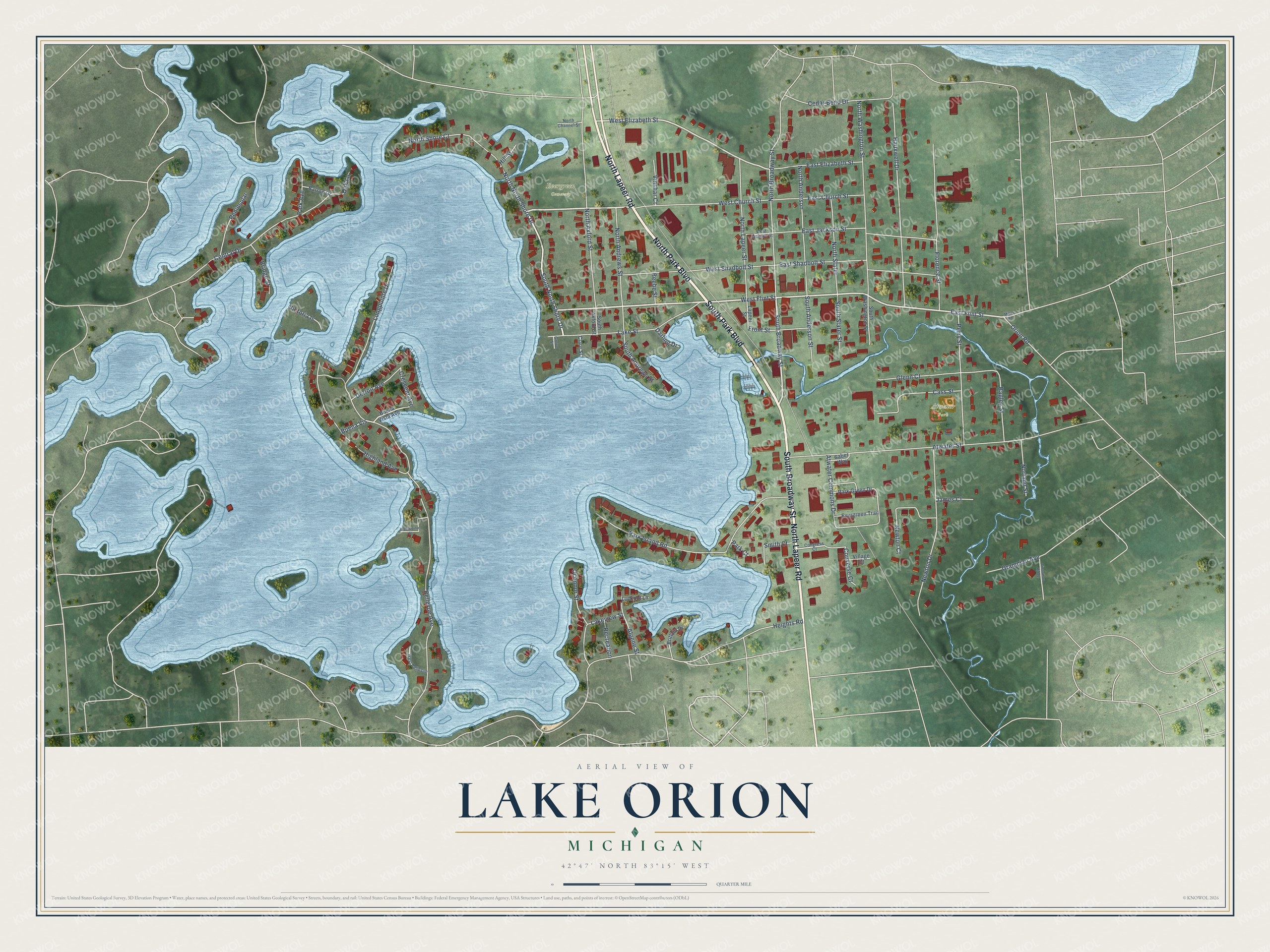
This beautifully detailed map of Lake Orion, Michigan was created in 2026 using aerial imagery combined with modern topographical, census, street and landmark data. It's a modern aerial view of Lake Orion in Oakland County, Michigan, that combines modern data with a vintage aesthetic. The roads feature printed names, and if you look closely you can find your exact house accurately shown in its correct location.
Explore an aerial view of Lake Orion, Michigan
On this map you'll find Evergreen Cemetery, Atwater Park, North Park Boulevard, North Lapeer Road, South Broadway Street, South Park Boulevard, West Flint Street, West Church Street, South North Shore Drive, East Flint Street, West Elizabeth Street, Buena Vis, and more. Each red shape is a building, so zoom in on the preview and look for yours.
Lake Orion has a story worth telling. The record at arcgis.com puts it this way: "A Civil War veteran, Predmore was on guard duty at the White House the night President Lincoln was assassinated."
Lake Orion is a village in Oakland County. The Census Bureau counted 2,876 people here in 2020.
Take a closer look at the Lake Orion map
Names on this map
These names are printed on this map.
Places: Evergreen Cemetery and Atwater Park.
Streets and roads: North Park Boulevard, North Lapeer Road, South Broadway Street, South Park Boulevard, West Flint Street, West Church Street, South North Shore Drive, East Flint Street, North North Shore Drive, West Elizabeth Street, Buena Vis, Crescent Avenue.
More street names, A to Z
Algene Street, Atwater Commons Drive, Atwater Street, Bagley Street, Barron Drive, Beebe Street, Bellevue Avenue, Bridge Street, Brittain Drive, Buena Vista Avenue, Cass Street, Cedar Bend Drive, Central Drive, Cinnamon Ridge, Clare Street, Congress Court, Converse Court, Darling Drive, Detroit Avenue, East Church Street, East Elizabeth Street, East Jackson Street, East Shadbolt Street, Evergreen Trail, Florence Street, Front Street, Glenn Court, Grampian Avenue, Grove Street, Hauxwell Drive, Heights Road, Highland Avenue, Hill Street, James Court, Lake Street, Lakeview Street, Lapeer Street, Longpointe Drive, Lookout Lane, Miller Road, Newton Court, Newton Drive, Norland Street, North Anderson, North Andrews Street, North Axford Street, North Broadway Street, North Channel Street, North Lapeer Street, North Shore Court, North Slater, North Washington Street, Oak Lane, Oconnor Street, Orion Road, Park Avenue, Park Court, Park Green Drive, Park Island Road, Peninsular, Perry Street, Recreation, Saber Way, Smith Court, South Anderson Street, South Andrews Street, South Axford Street, South Slater Street, South Washington Street, Victoria Is, Village Court, Vinshar Court, West Bellevue, West Jackson Street, Westpointe Court, West Shadbolt Street.
Created by KNOWOL in 2026. The buildings are small red shapes, the roads carry their printed names, and shaded relief shows the shape of the land. The title panel reads "AERIAL VIEW OF LAKE ORION, MICHIGAN" with 42°47' NORTH 83°15' WEST.
It looks right in a kitchen, an office or a den, and it's a gift for anyone who grew up in Lake Orion or moved away. Open the preview and find your street. See sizes and frames for the Lake Orion map.