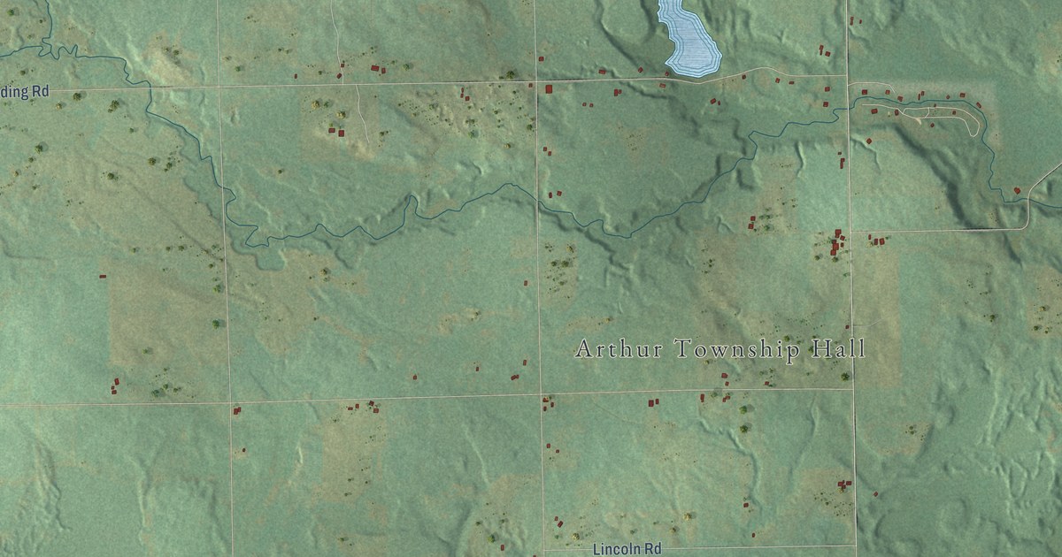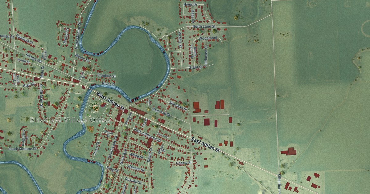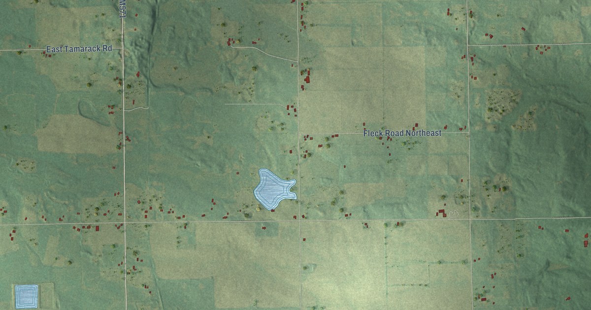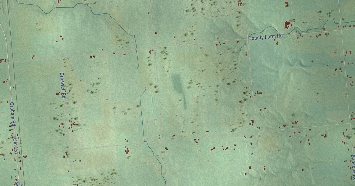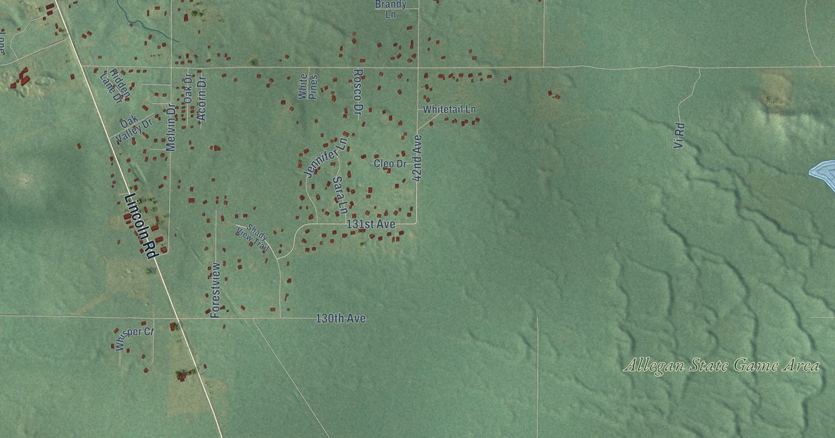
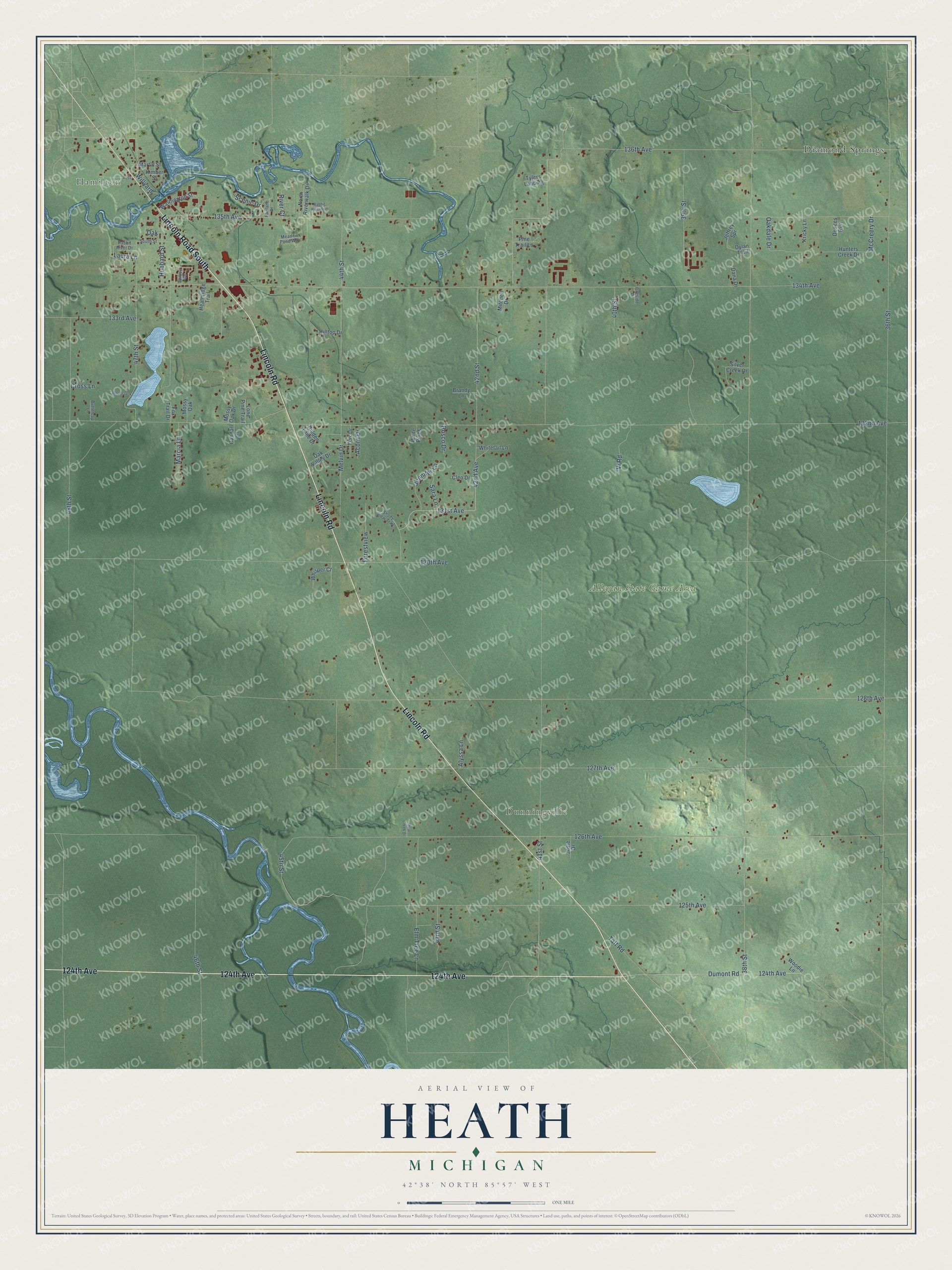
This beautifully detailed map of Heath, Michigan was created in 2026 using aerial imagery combined with modern topographical, census, street and landmark data. It's a modern aerial view of Heath in Allegan County, Michigan, that combines modern data with a vintage aesthetic. The roads feature printed names, and if you look closely you can find your exact house accurately shown in its correct location.
Explore an aerial view of Heath, Michigan
On this map you'll find Hamilton, Dunningville, Allegan State Game Area, Diamond Springs, Lincoln Road, 124th Avenue, Lincoln Road South, 42nd Avenue, 131st Avenue, 41st Street, 135th Avenue, 45th Street, and more. Each red shape is a building, so zoom in on the preview and look for yours.
Heath has a story worth telling. The History of Allegan and Barry Counties puts it this way: "Considerable of the land of Heath was purchased from the government as early as 1833, but the first settler did not appear until 1850, when Simon Howe obtained control under a contract of a portion of section 6, upon which he and Col. John Littlejohn erected a saw-mill on Rabbit River."
The Census Bureau counted 3,937 people here in 2020.
Take a closer look at the Heath map
Names on this map
These names are printed on this map.
Places: Hamilton, Dunningville, Allegan State Game Area and Diamond Springs.
Streets and roads: Lincoln Road, 124th Avenue, Lincoln Road South, 42nd Avenue, 131st Avenue, 41st Street, 135th Avenue, 45th Street, 38th Street, 36th Street, 132nd Avenue, 128th Avenue.
More street names, A to Z
39th Street, 40th Street, 42nd Street, 43rd Street, 44th Street, 46th Street, 47th Street, 48th Street, 125th Avenue, 126th Avenue, 127th Avenue, 130th Avenue, 133rd Avenue, 134th Avenue, 136th Avenue, Acorn Drive, Alyssa Lane, Bear Creek Drive, Brandy Lane, Buttercup Lane, Cleo Drive, Cross Lane, Dana Drive, Dodges Run, Dumont Road, Dylan Trail, Elm Tree Lane, Fairlane Drive, Fireside Drive, Forestview, Fox Trail Drive, Heathridge Trail, Hidden Lane Drive, Hilltop Drive, Hubbard Street, Hunters Creek Drive, Jeffrey Spr, Jennifer Lane, Josie Drive, Kimber Street, Kricky Lane, Laura Lane, Lone Pine Trail, Marcia Lane, Martin Street, McCreery Drive, Meadow Pond Way, Melvin Drive, Mitchell Drive, Mossy Oak, Mossy Oak Drive, North Riverwalk Drive, Oak, Oakdale Drive, Oak Drive, Oak Valley Drive, Pine Trail Lane, Rabbit River Drive, Rabbit River Run, Randall Lane, River Court, Rosco Drive, Sara Lane, Scenic Drive, Shady View Trail, Silver Creek Drive, South Street, Spruce Drive, Taft Road, Tylers Landing, Vi Road, Voss, Washington Street, Whisper Court, White Pines, Whitetail Lane, Willyard, Woodie Lane, Woodstock.
Created by KNOWOL in 2026. The buildings are small red shapes, the roads carry their printed names, and shaded relief shows the shape of the land. The title panel reads "AERIAL VIEW OF HEATH, MICHIGAN" with 42°38' NORTH 85°57' WEST.
It looks right in a kitchen, an office or a den, and it's a gift for anyone who grew up in Heath or moved away. Open the preview and find your street. See sizes and frames for the Heath map.