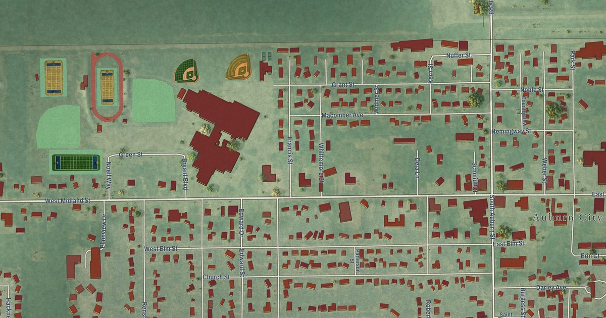
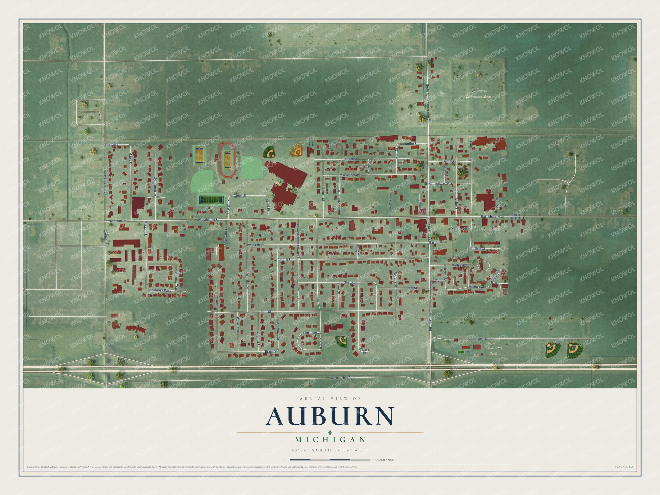
This beautifully detailed map of Auburn, Michigan was created in 2026 using aerial imagery combined with modern topographical, census, street and landmark data. It's a modern aerial view of Auburn in Bay County, Michigan, that combines modern data with a vintage aesthetic. The roads feature printed names, and if you look closely you can find your exact house accurately shown in its correct location.
Explore an aerial view of Auburn, Michigan
On this map you'll find Auburn City Hall, Auburn Recreation Area, Auburn Park, West Midland Street, South Auburn Street, North Auburn Road, East Midland Street, Midland Road, Green Street, Braun Street, Edward Street, Maple Drive, and more. Each red shape is a building, so zoom in on the preview and look for yours.
Auburn has a story worth telling. The History of Bay County puts it this way: "The Polish settlers of that vicinity have built a fine house of worship at Fisherville, while the churches at the pretty village of Auburn supply the several denominations."
Auburn is a city in Bay County. The Census Bureau counted 2,068 people here in 2020.
Take a closer look at the Auburn map
Names on this map
These names are printed on this map.
Places: Auburn City Hall, Auburn Recreation Area and Auburn Park.
Streets and roads: West Midland Street, South Auburn Street, North Auburn Road, East Midland Street, Midland Road, Green Street, Braun Street, Edward Street, Maple Drive, West Fisher Road, Garfield Road, Nine Mile Road.
More street names, A to Z
9 Mile Road, Appaloosa Pass, Bryant Boulevard, Burgess Street, Church Street, Countryview Lane, Darley Avenue, Deja Lane, East Elm Street, Edward Drive, Edwards Street, Erin Court, Francis Street, Grant Street, Hackney Trail, Hemingway Street, Ireland Street, Jaycee Drive, Kent Street, Kern Avenue, Kern Street, Macomber Avenue, Moll Street, Mustang Lane, Noble Street, Noell Way, North Garfield Road, Nuffer Street, Park Street, Patricia Street, Patterson Street, Plainview Drive, Price Street, Renshar Drive, Roberts Street, Ruth Street, Saint Louis Avenue, Schmidt Court, Shady Lane, Short Street, Southlawn Drive, Sunshine Court, Sycamore Lane, Tianna Drive, Virginia Street, Weber Street, West Elm Street, West Midland Road, Whittemore Street, Widmer Street, Willow Bend, Willow Bnd.
Created by KNOWOL in 2026. The buildings are small red shapes, the roads carry their printed names, and shaded relief shows the shape of the land. The title panel reads "AERIAL VIEW OF AUBURN, MICHIGAN" with 43°36' NORTH 84°04' WEST.
It looks right in a kitchen, an office or a den, and it's a gift for anyone who grew up in Auburn or moved away. Open the preview and find your street. See sizes and frames for the Auburn map.