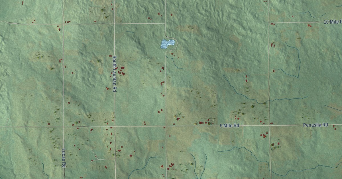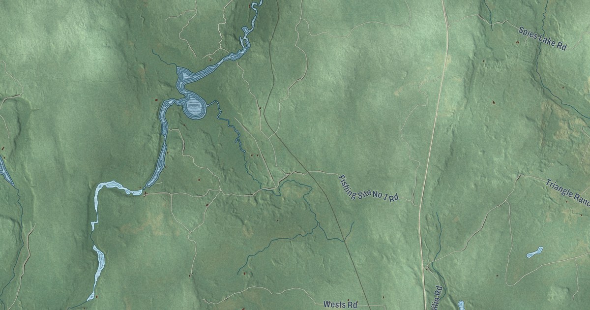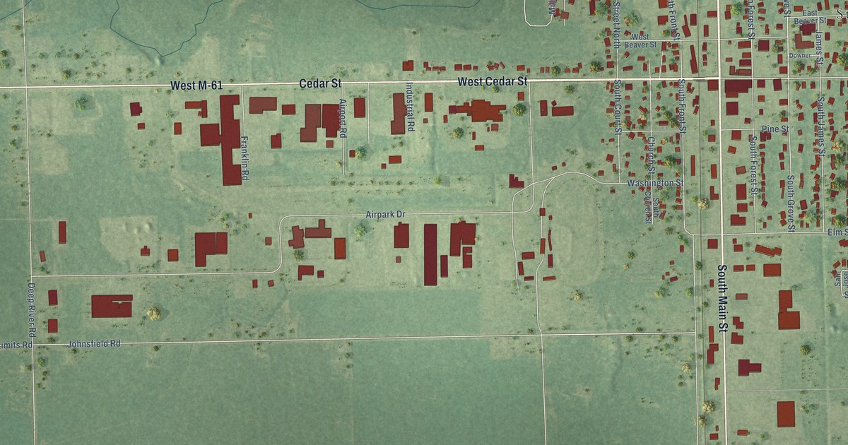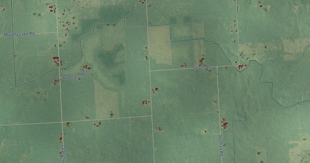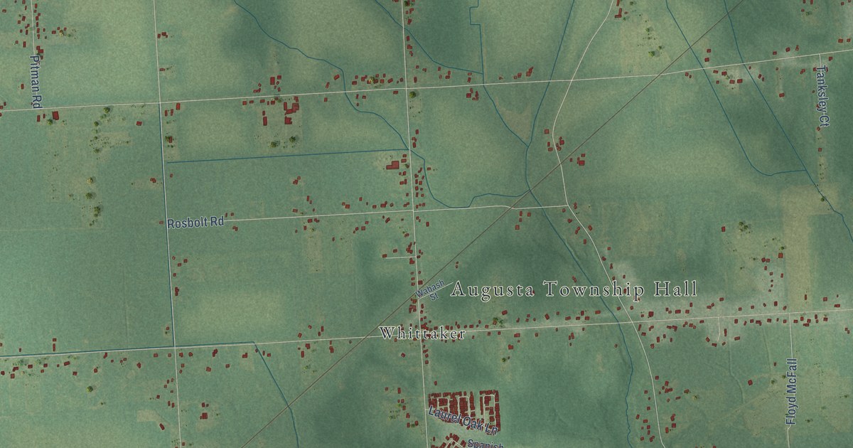
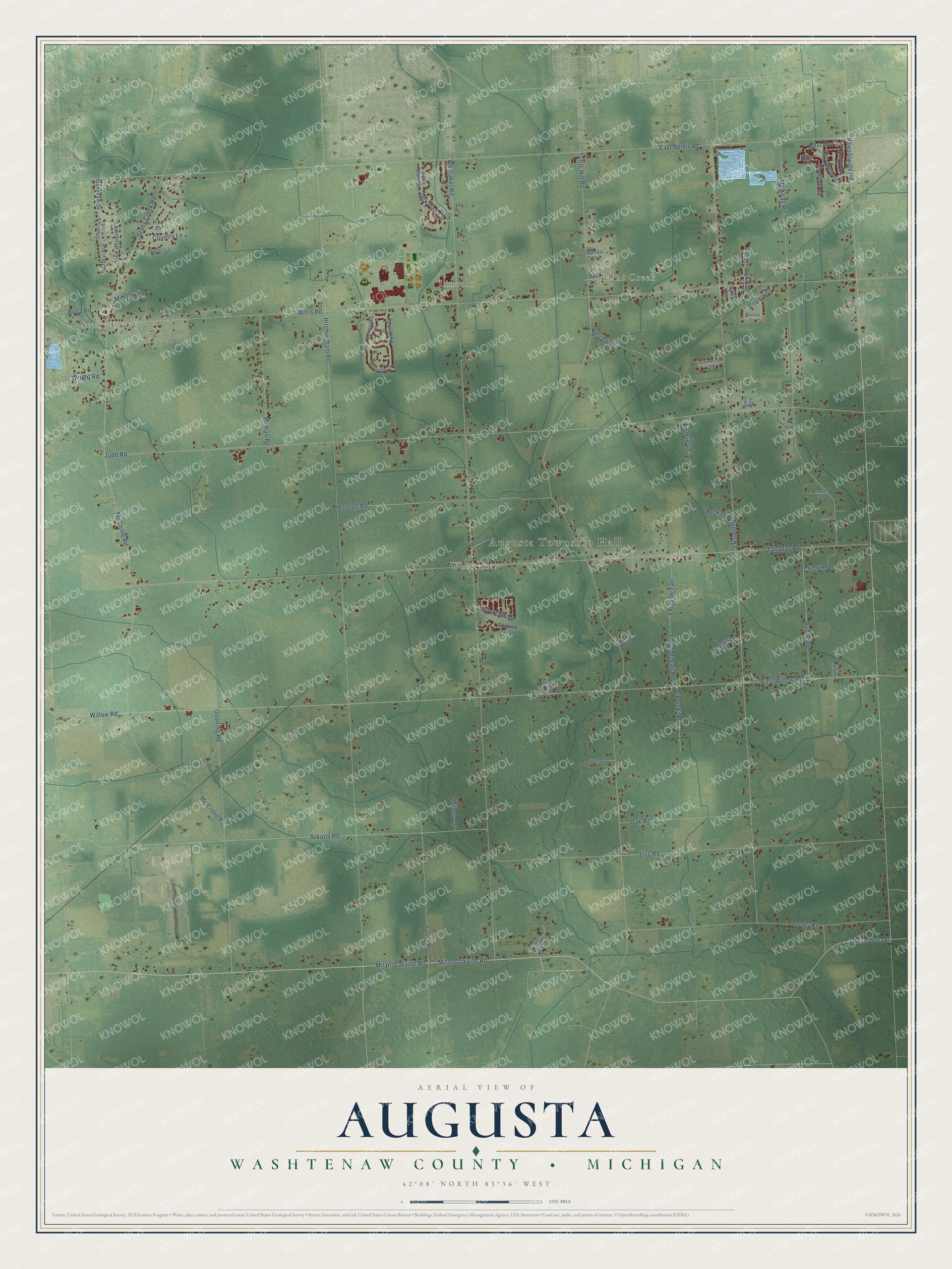
This beautifully detailed map of Augusta, Michigan was created in 2026 using aerial imagery combined with modern topographical, census, street and landmark data. It's a modern aerial view of Augusta in Washtenaw County, Michigan, that combines modern data with a vintage aesthetic. The roads feature printed names, and if you look closely you can find your exact house accurately shown in its correct location.
Explore an aerial view of Augusta, Michigan
On this map you'll find Augusta Township Hall, Stony Creek, Willis, Paint Creek, Lincoln, Whittaker, Milan Oakville Road, Jack Pine Circle, East Bemis Road, West Morley, Willis Road, Tuttle Hill Road, and more. Each red shape is a building, so zoom in on the preview and look for yours.
Here is a piece of Augusta history, in the words of the record. The History of Washtenaw County puts it this way: "The township of Augusta has long since passed from the condition of a vast, untenanted timber marsh land into that of a beautiful field of grain and grass."
The Census Bureau counted 7,083 people here in 2020.
Take a closer look at the Augusta map
Names on this map
These names are printed on this map.
Places: Augusta Township Hall, Stony Creek, Willis, Paint Creek, Lincoln and Whittaker.
Streets and roads: Milan Oakville Road, Jack Pine Circle, East Bemis Road, West Morley, Willis Road, Tuttle Hill Road, Rawsonville Road, Whittaker Road, Hitchingham Road, East Willow Road, Willow Road, Bunton Road.
More street names, A to Z
Arkona Road, Arthur Avenue, Barky Boys, Barton Lane, Bolla Road, Brian Circle, Brookston Drive, Brookstone Drive, Butler Road, Chambord Drive, Charleston Lane, Cheri Lane, Country Lane, Crestshire Drive, Czinski Road, Dunigan Court, Floyd McFall, Floyd McFall Road, Fuller Road, Gooding Road, Gotts Court, Green Gables, Heaven's Gate, Horton Drive, Ivel Lane, Jack Pine Drive, Judd Road, Laurel Oak Lane, Lawrence Avenue, Liss Road, Macey Road, McCrone Road, Mc Crone Road, Mc Kean Road, McRee Lane, Meridian Street, Milan-Oakville Road, Millers Drive, Moss Creek, Neumann Circle, Normandy Lane, Oak Road, Oakville Waltz Road, Pine Lane, Pitman Road, Potterville, Ricka Lane, Rosbolt Road, Rustic Lane, Sherman Circle, Sheryl Drive, Sikorski Road, Spanish Oak Lane, Stoneham Drive, Stony Creek Road, Talladay Road, Tanksley Court, Thetford Lane, Torrey Road, Victoria Lane, Wabash Street, White Tail Drive, Wright Road.
Created by KNOWOL in 2026. The buildings are small red shapes, the roads carry their printed names, and shaded relief shows the shape of the land. The title panel reads "AERIAL VIEW OF AUGUSTA, WASHTENAW COUNTY • MICHIGAN" with 42°08' NORTH 83°36' WEST.
It suits a den, a classroom or a front hall, and it makes a gift for anyone with Augusta roots. Open the preview and find the block you know. See sizes and frames for the Augusta, Washtenaw County map.