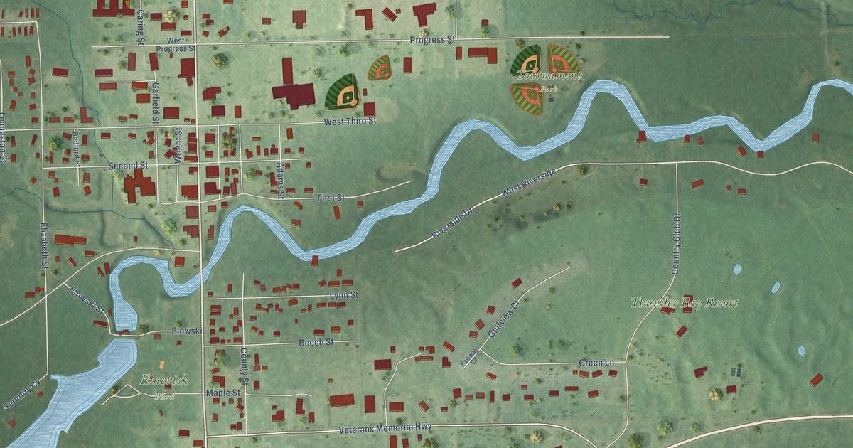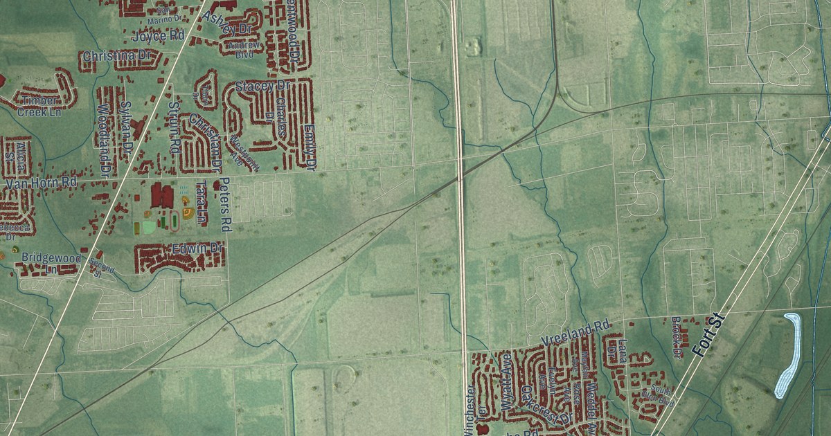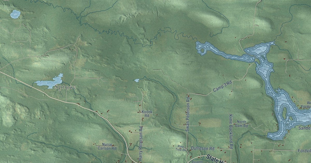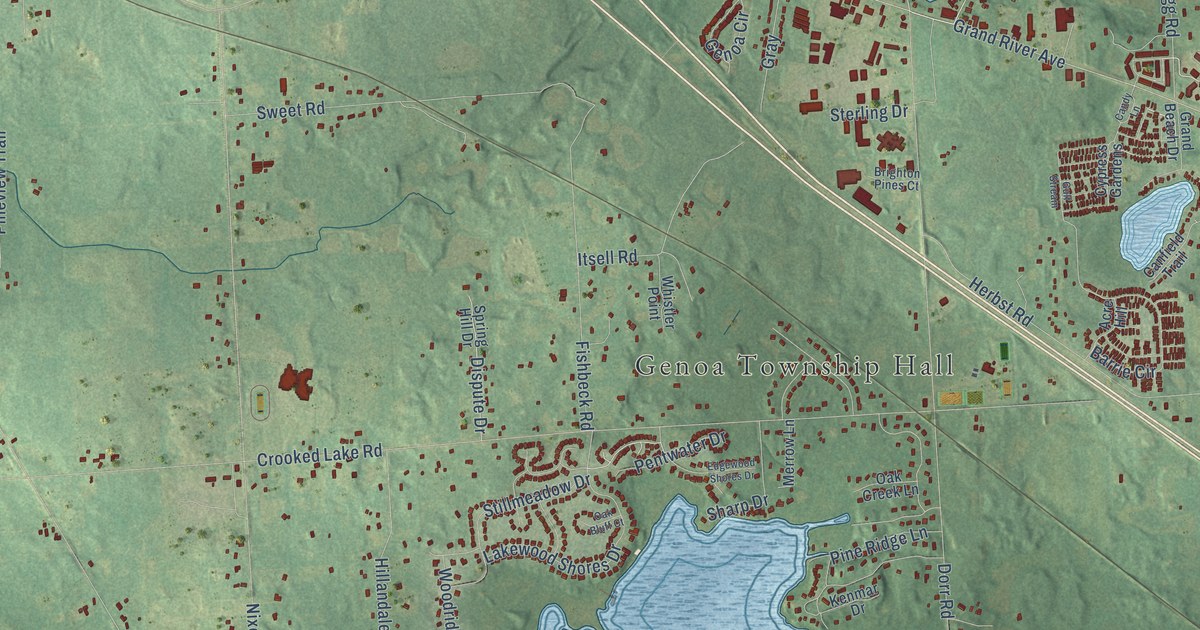
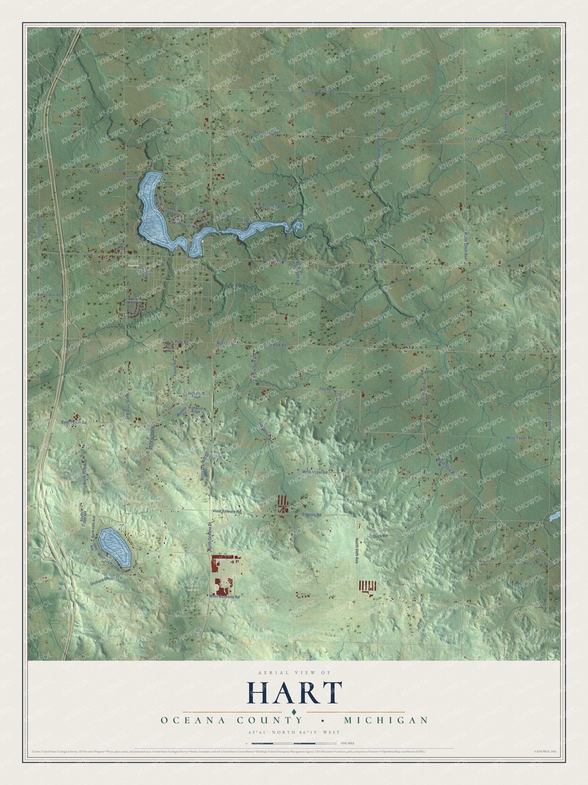
This beautifully detailed map of Hart, Michigan was created in 2026 using aerial imagery combined with modern topographical, census, street and landmark data. It's a modern aerial view of Hart in Oceana County, Michigan, that combines modern data with a vintage aesthetic. The roads feature printed names, and if you look closely you can find your exact house accurately shown in its correct location.
Explore an aerial view of Hart, Michigan
On this map you'll find Hart Cemetery, Oceana Golf Club, West Taylor Road, North York Road, North 94th Avenue, Plum Street, York Avenue, West Baseline Road, Fox Road, Polk Road, West Polk Road, North Water Road, and more. Each red shape is a building, so zoom in on the preview and look for yours.
Here is a piece of Hart history, in the words of the record. The History of Oceana County puts it this way: "On December 20, 1860, Hart was organized. On October 11, 1864, Golden was set off from Hart."
The Census Bureau counted 2,028 people here in 2020.
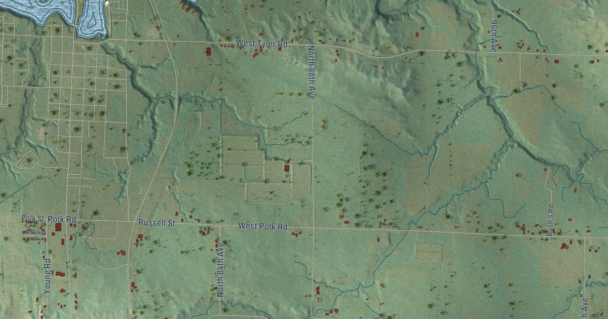
Take a closer look at the Hart map
Names on this map
These names are printed on this map.
Places: Hart Cemetery and Oceana Golf Club.
Streets and roads: West Taylor Road, North York Road, North 94th Avenue, Plum Street, York Avenue, West Baseline Road, Fox Road, Polk Road, West Polk Road, North Water Road, North 112th Avenue, Russell Street.
More street names, A to Z
69th Avenue, 76th Avenue, 92nd Avenue, 96th Avenue, Abbey Road, Bush's Road, Cedar Lane, Cherry Avenue, Circle Drive, Duck Road, East Lever Road, East Taylor Road, Filmore Road, Harrison Cove Avenue, Highpoint Ridge, High Point Ridge, Karen Street, Lake Avenue, Lake Harbor Drive, Lake Road, Meadowbrook Lane, Micheal, North 64th Avenue, North 68th Avenue, North 69th Avenue, North 72nd Avenue, North 84th Avenue, North 88th Avenue, North 96th Avenue, North 100th Avenue, North 104th Avenue, North 108th Avenue, North Hill North Dale Drive, North Oceana Drive, North Star Hill Drive, Orchard Drive, Polk Street, Ramble Road, South 68th Avenue, South 96th Avenue, Southern Drive, West 84th Avenue, West Circle Drive, West Deer Road, West Filmore Road, West Harrison Road, West Hazel Road, West Lake Road, West Lever Road, West Melody Lane, West Orchard Drive, West Scout Road, West Tyler Road, West Van Buren Road, Young Road.
Created by KNOWOL in 2026. The buildings are small red shapes, the roads carry their printed names, and shaded relief shows the shape of the land. The title panel reads "AERIAL VIEW OF HART, OCEANA COUNTY • MICHIGAN" with 43°41' NORTH 86°19' WEST.
It suits a den, a classroom or a front hall, and it makes a gift for anyone with Hart roots. Open the preview and find the block you know. See sizes and frames for the Hart, Oceana County map.