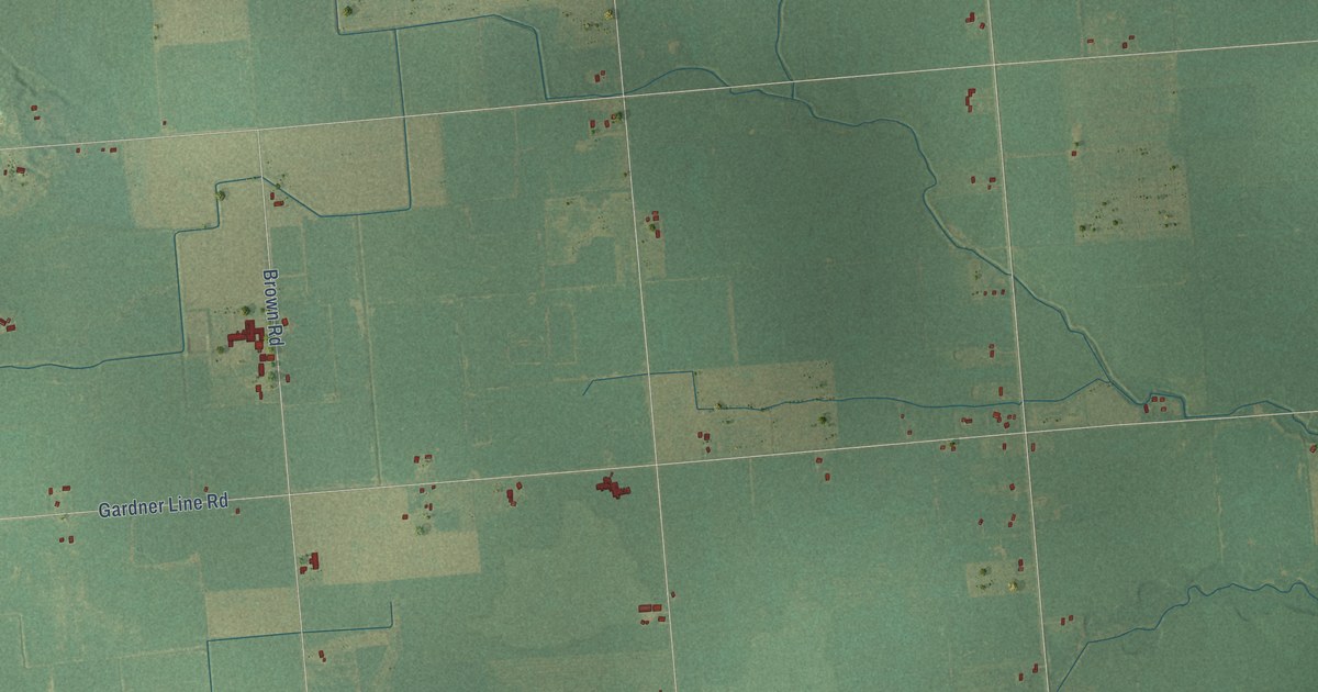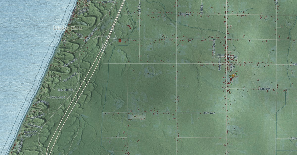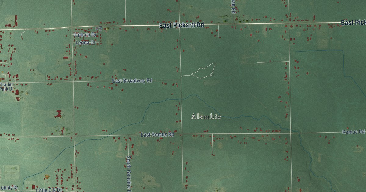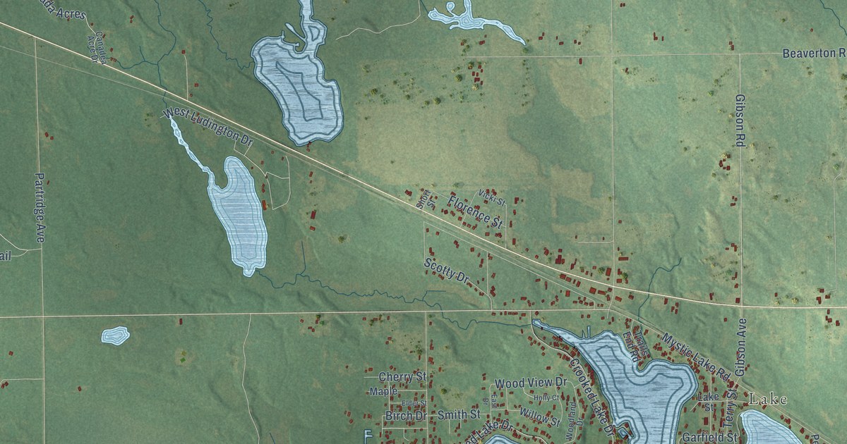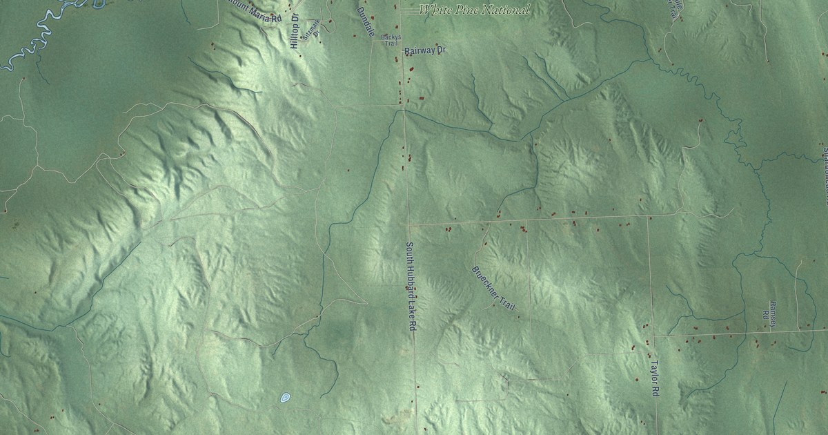
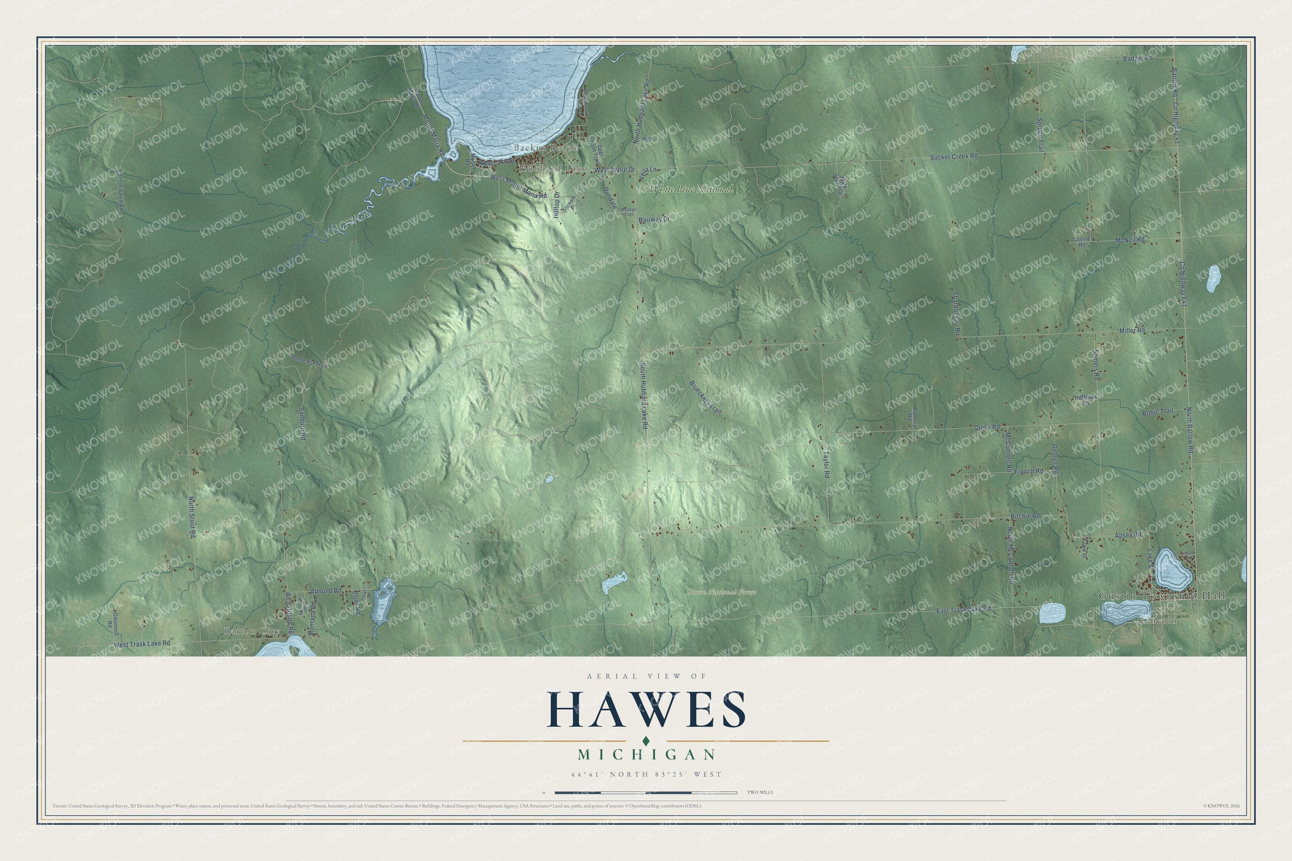
This beautifully detailed map of Hawes, Michigan was created in 2026 using aerial imagery combined with modern topographical, census, street and landmark data. It's a modern aerial view of Hawes in Alcona County, Michigan, that combines modern data with a vintage aesthetic. The roads feature printed names, and if you look closely you can find your exact house accurately shown in its correct location.
Explore an aerial view of Hawes, Michigan
On this map you'll find Gustin Township Hall, Barton City, Backus Beach, Hubbard Lake, Huron National Forest, Lincoln, White Pine National, West Mount Maria Road, Mount Maria Road, North Hubbard Lake Road, Co Highway F41, Lake Street, and more. Each red shape is a building, so zoom in on the preview and look for yours.
The Census Bureau counted 1,076 people here in 2020. The map prints the town name in its title panel, with the coordinates below it.
Take a closer look at the Hawes map
Names on this map
These names are printed on this map.
Places: Gustin Township Hall, Barton City, Backus Beach, Hubbard Lake, Huron National Forest, Lincoln and White Pine National.
Streets and roads: West Mount Maria Road, Mount Maria Road, North Hubbard Lake Road, County Highway F41, Lake Street, Apsey Road, East Trask Lake Road, Miller Road, West Lake Street, Ritchie Road, Sucker Creek Road, South Hubbard Lake Road.
More street names, A to Z
Almond Road, Backys Trail, Badger Road, Barlow Road, Bobic Trail, Brueckner Trail, Chris Road, Consolidated Road, County Highway 41, Coville Road, Deer Hunt Trail, Dundale, Ester Road, Fawn Drive, French Road, Gehres Road, Hilltop Drive, Huffman Road, Lincoln Drive, McConnell Road, McGee Road, McNeil Road, Montana Road, Mule Deer Trai, North Barlow Road, North McConnell Road, North Stout Road, Odonnell Road, Panackia Trail, Prdr, Quick Road, Rairway Drive, Ramsey Road, Richardson Road, Sanborn Road, Sharboneau Road, Sitzmark Drive, Somers Road, Spruce Trail, Stuve Ranch Road, Taylor Road, Voila Lane, West Shore Drive, West Trask Lake Road, Whippoorwill Drive.
Created by KNOWOL in 2026. The buildings are small red shapes, the roads carry their printed names, and shaded relief shows the shape of the land. The title panel reads "AERIAL VIEW OF HAWES, MICHIGAN" with 44°41' NORTH 83°25' WEST.
It suits a den, a classroom or a front hall, and it makes a gift for anyone with Hawes roots. Open the preview and find the block you know. See sizes and frames for the Hawes map.