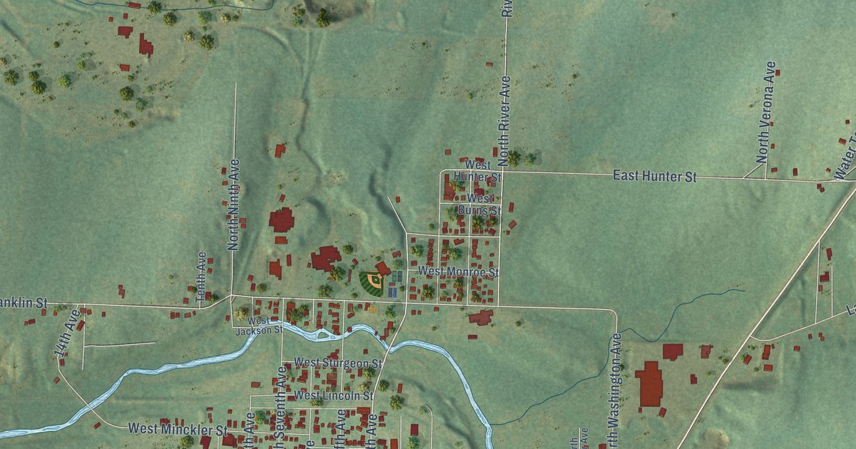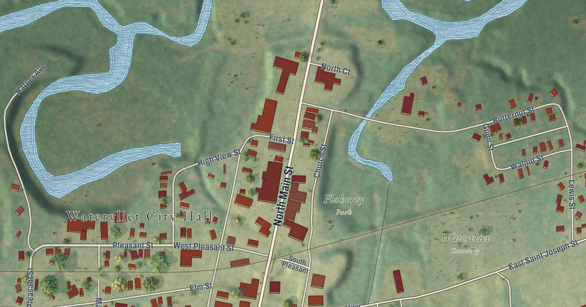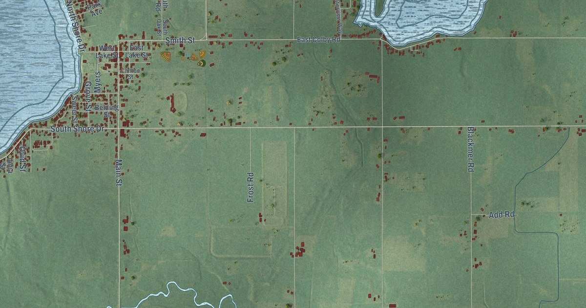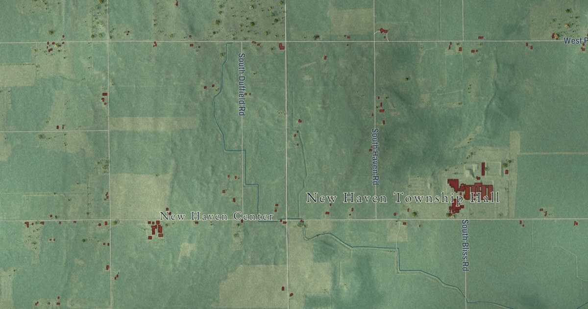
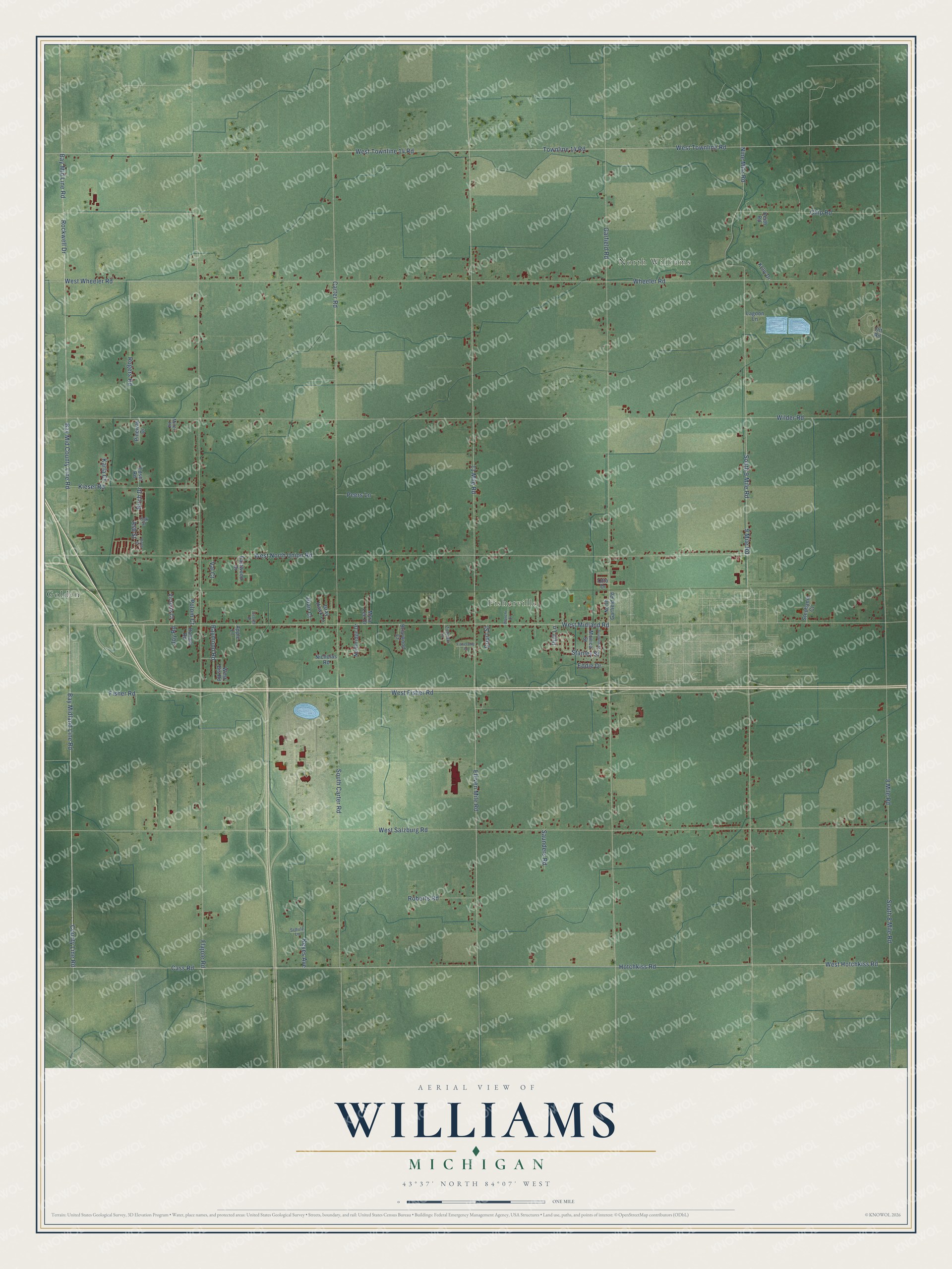
This beautifully detailed map of Williams, Michigan was created in 2026 using aerial imagery combined with modern topographical, census, street and landmark data. It's a modern aerial view of Williams in Bay County, Michigan, that combines modern data with a vintage aesthetic. The roads feature printed names, and if you look closely you can find your exact house accurately shown in its correct location.
Explore an aerial view of Williams, Michigan
On this map you'll find North Williams, Fisherville, Golden, West Midland Road, Bay Midland Line Road, County Line Road, Hotchkiss Road, South 9 Mile Road, 9 Mile Road, Rockwell Drive, Nine Mile Road, West North Union Road, and more. Each red shape is a building, so zoom in on the preview and look for yours.
Here is a piece of Williams history, in the words of the record. The History of Bay County puts it this way: "The first school in Williams township was established in Charles Bradford's farm-house, with Mrs. Charles Fitch, teacher. The township has now six school districts, each having its own school."
The Census Bureau counted 5,058 people here in 2020.
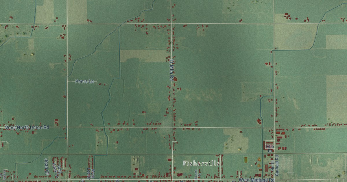
Take a closer look at the Williams map
Names on this map
These names are printed on this map.
Places: North Williams, Fisherville and Golden.
Streets and roads: West Midland Road, Bay Midland Line Road, County Line Road, Hotchkiss Road, South 9 Mile Road, 9 Mile Road, Rockwell Drive, Nine Mile Road, West North Union Road, Cass Road, Townline 14 Road, Bay Mid County Line Road.
More street names, A to Z
8 Mile Road, 11 Mile Road, Apple Lane, Ash Street, Bay Mid Line Road, Bianchi Drive, Birch Drive, Birch Street, Briarwood Court, Carter Road, Chip Road, Court Street, Eastwood Drive, Eddie Drive, Edsel Road, Eleven Mile Road, Fisher Road, Fisherville Court, Flajole Road, Franklin Street, Garfield Road, George Drive, Gray Hawk Lane, Joan Court, Joy Road, Karla Court, Keith Road, Kelly Drive, Keyes Avenue, Kiesel Road, Lagoon Lane, Miner Road, Monica Street, Myra Lee Drive, Nicholas Road, North Garfield Road, Northridge Drive, Oak Street, Otto Drive, Ott Road, Peers Lane, Pineway Drive, Polom Court, Putt Lane, Raymond Road, Roberts Road, Rogers Road, Ronald Road, Saunders Road, Schulz Lane, South 8 Mile Road, South Carter Road, Stanley Street, Stephanie Court, Val Court, Victoria Court, West Bis Road, West Fisher Road, West Hotchkiss Road, West Salzburg Road, West Townline 14 Road, West Townline Road, West Wheeler Road, Wheeler Road, Wilder Road, Zielinski Lane.
Created by KNOWOL in 2026. The buildings are small red shapes, the roads carry their printed names, and shaded relief shows the shape of the land. The title panel reads "AERIAL VIEW OF WILLIAMS, MICHIGAN" with 43°37' NORTH 84°07' WEST.
It suits a den, a classroom or a front hall, and it makes a gift for anyone with Williams roots. Open the preview and find the block you know. See sizes and frames for the Williams map.