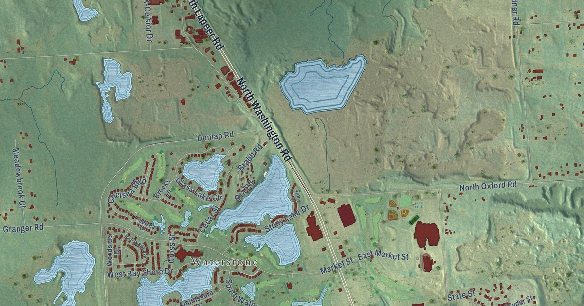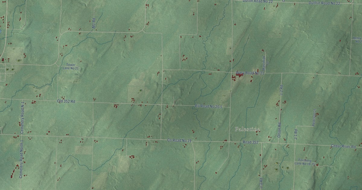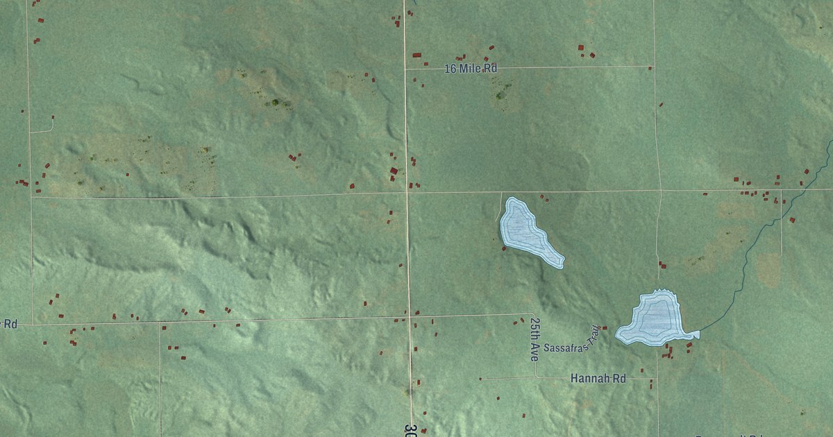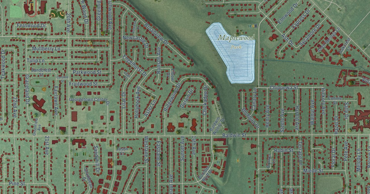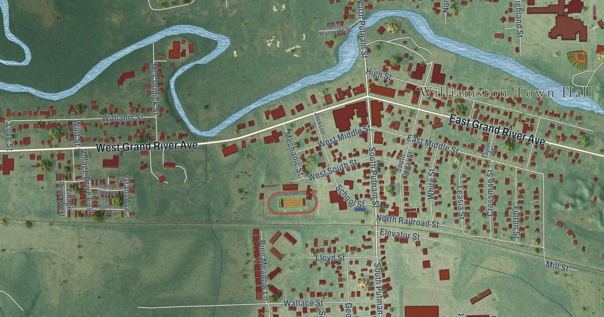
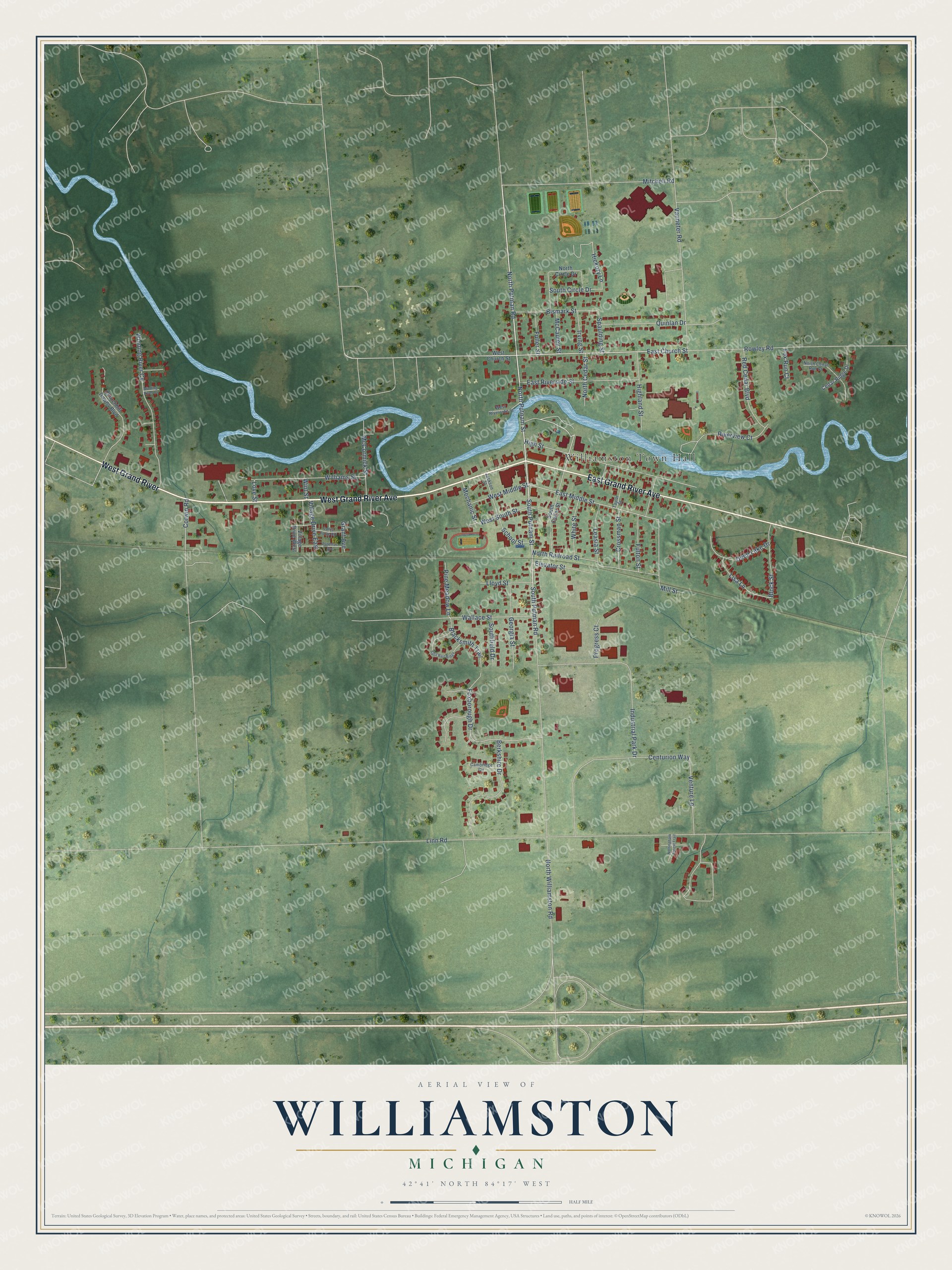
This beautifully detailed map of Williamston, Michigan was created in 2026 using aerial imagery combined with modern topographical, census, street and landmark data. It's a modern aerial view of Williamston in Ingham County, Michigan, that combines modern data with a vintage aesthetic. The roads feature printed names, and if you look closely you can find your exact house accurately shown in its correct location.
Explore an aerial view of Williamston, Michigan
On this map you'll find Williamston Town Hall, West Grand River Avenue, West Grand River, East Grand River Avenue, North Putman Road, North Putnam Street, South Putman Road, South Putnam Street, East Church Street, Rowley Road, North Cedar Street, East Middle Street, and more. Each red shape is a building, so zoom in on the preview and look for yours.
Every town has a first chapter, and Williamston is no exception. The History of Ingham and Eaton Counties puts it this way: "The first banking institution in Williamston was opened by Hugh H. Spaulding & Co. in 1871. It was a private exchange bank, and carried on business until about 1876, when it was closed."
Williamston is a city in Ingham County. The Census Bureau counted 3,819 people here in 2020.
Take a closer look at the Williamston map
Names on this map
These names are printed on this map.
Places: Williamston Town Hall.
Streets and roads: West Grand River Avenue, West Grand River, East Grand River Avenue, North Putman Road, North Putnam Street, South Putman Road, South Putnam Street, East Church Street, Rowley Road, North Cedar Street, East Middle Street, Hickory Lane.
More street names, A to Z
Berkshire Drive, Bismark Street, Blacksmith Trail, Block Street, Cambridge Circle, Cedar Ridge Drive, Centurion Way, Churchhill Downs Boulevard, Corwin Road, Crossman Street, Deep Lake Drive, East Riverside Street, Elevator Street, Foxborough Drive, Fox Run Court, Fuller Street, Fulton Street, Georgia Street, Grant Avenue, Highland Street, High Street, Industrial Park Drive, Irving Street, Jackson Street, Leasia Street, Linn Road, Lisa Lane, Lloyd Street, Love Street, McCauley Street, McCormick Street, Mechanic Street, Mill Street, Mitchell Road, North Cedar Run Court, North Circle Drive, North Railroad Street, North Williamston Road, Nottingham Forest Trail, Pine Meadow Lane, Potomac Avenue, Progress Court, Quinlan Drive, Red Cedar Boulevard, Riverview Court, School Street, South Cedar Street, South Circle Drive, Southfield Drive, Spaulding Street, Split Rail Ridge, Taylor Street, Valley Forge Road, Vanneter Road, Venture Lane, Village Drive East, Village Drive West, Wallace Street, West Church Street, West Middle Street, West Riverside Street, West South Street, White Street, Williams Street, Winding River Court, Winding River Cv, Wint Street.
See it on a wall
The Williamston map as a framed print. Swipe for more.


Created by KNOWOL in 2026. The buildings are small red shapes, the roads carry their printed names, and shaded relief shows the shape of the land. The title panel reads "AERIAL VIEW OF WILLIAMSTON, MICHIGAN" with 42°41' NORTH 84°17' WEST.
Hang it in the hallway, the office or the cabin, or give it to someone who left Williamston and still calls it home. Open the preview and look for a street you know. See sizes and frames for the Williamston map.