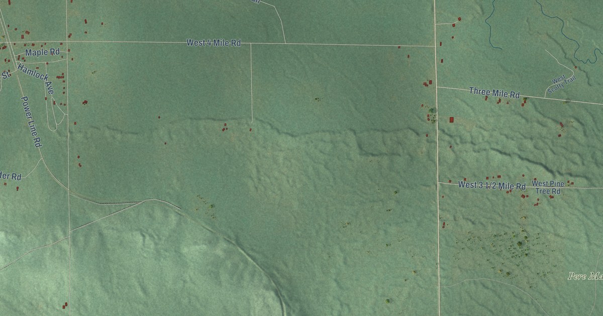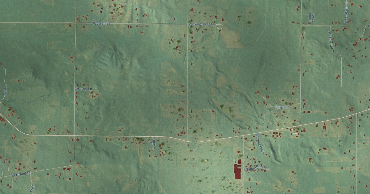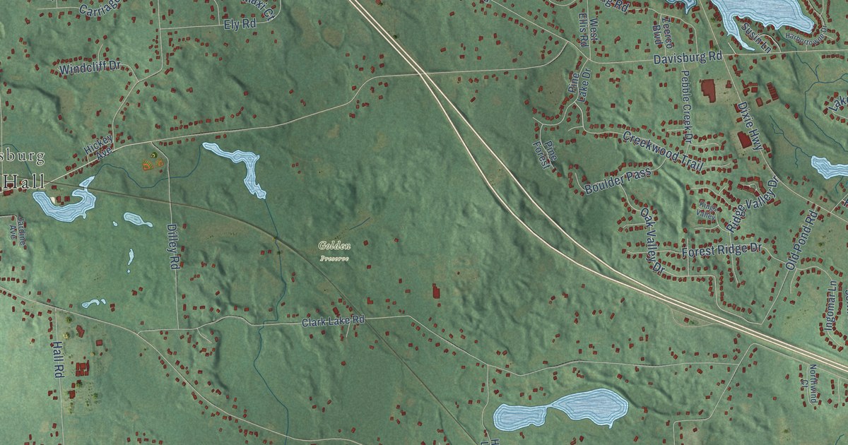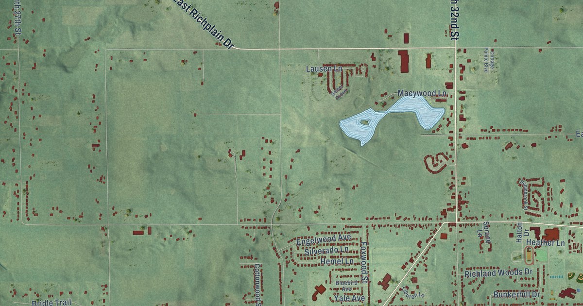
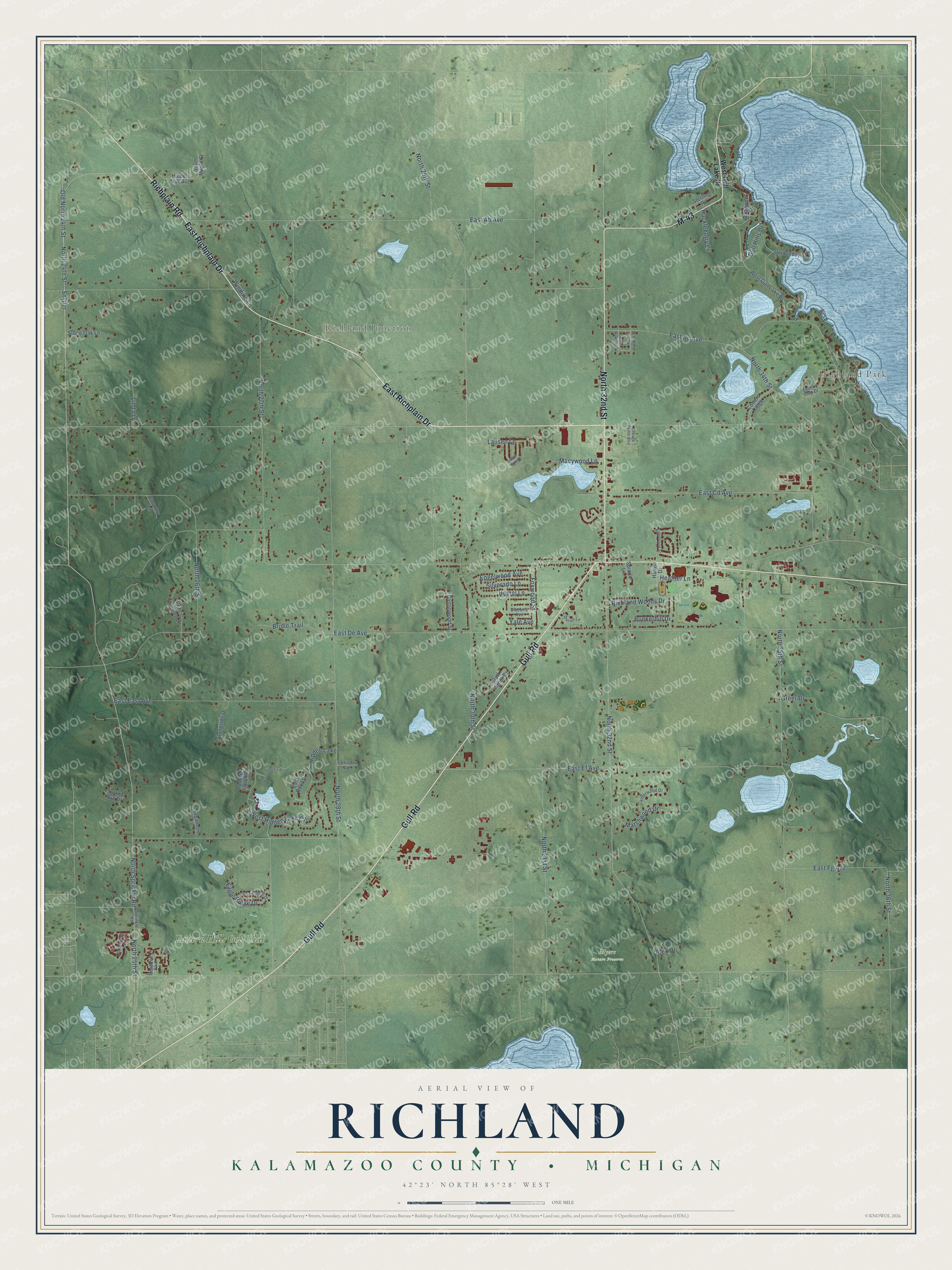
This beautifully detailed map of Richland, Michigan was created in 2026 using aerial imagery combined with modern topographical, census, street and landmark data. It's a modern aerial view of Richland in Kalamazoo County, Michigan, that combines modern data with a vintage aesthetic. The roads feature printed names, and if you look closely you can find your exact house accurately shown in its correct location.
Explore an aerial view of Richland, Michigan
On this map you'll find Highland Park, Richland Junction, Myers Nature Preserve, Eastern Hills Golf Club, Gull Road, East Richplain Drive, Richplain Road, North 32nd Street, M-43, North 24th Street, East Ab Avenue, Snyder, and more. Each red shape is a building, so zoom in on the preview and look for yours.
Richland has a story worth telling. The record at arcgis.com puts it this way: "Dedicated on February 27, 1861, during the pastorate of Milton Bradley, this is the First Presbyterian congregation’s second church."
The Census Bureau counted 8,693 people here in 2020.
Take a closer look at the Richland map
Names on this map
These names are printed on this map.
Places: Highland Park, Richland Junction, Myers Nature Preserve, Eastern Hills Golf Club and Hidden Lake.
Streets and roads: Gull Road, East Richplain Drive, Richplain Road, North 32nd Street, M-43, North 24th Street, East Ab Avenue, Snyder, Old North 24th Street, North Sprinkle Road, East De Avenue, North 28th Street.
More street names, A to Z
Alex Drive, Alongside Drive, Bluebird Avenue, Bridle Trail, Bunkerhill Drive, Canterwood Drive, Cobblefield Lane, Cottage Pointe Boulevard, Cotters Ridge, Cottonwood Street, Country Club Drive, Country Lane, Doubleday Street, Eagle Ridge Drive, East Bay Lane, East Bc Avenue, East Cd Avenue, East East Avenue, East Ef Avenue, East Fg Avenue, East Gullway Street, Engelwood Avenue, Foxwood Street, Geiser Grove, Greer Drive, Gull Hills Drive, Gull Manor Drive, Hatton Drive, Hazelwood Avenue, Heather Lane, Hemel Lane, Hidden Oak Avenue, Huckleberry Lane, Lausen Lane, Linda Lane, Macywood Lane, Marshwood Drive, Meadows Boulevard, North 25th Street, North 26th Street, North 27th Street, North 29th Street, North 30th Street, North 31st Street, North 34th Street, North 35th Street, North 36th Street, North Shore Cv, Prairie Crossing Lane, Richland Woods Drive, Robinbrook Street, Sagamore Lane, Silverado Lane, Silver Maple Street, Sprinkle Road, Spruce Lane, Sterling Road, Stone Oak Lane, Sturbridge Drive, Tiburon Lane, Turkey Run Drive, West Gull Lake Drive, West Gullway Street, West Hidden Lake Circle, Whitney Woods, Wildwood Drive, Winding Lane, Yale Avenue.
Created by KNOWOL in 2026. The buildings are small red shapes, the roads carry their printed names, and shaded relief shows the shape of the land. The title panel reads "AERIAL VIEW OF RICHLAND, KALAMAZOO COUNTY • MICHIGAN" with 42°23' NORTH 85°28' WEST.
It looks right in a kitchen, an office or a den, and it's a gift for anyone who grew up in Richland or moved away. Open the preview and find your street. See sizes and frames for the Richland, Kalamazoo County map.