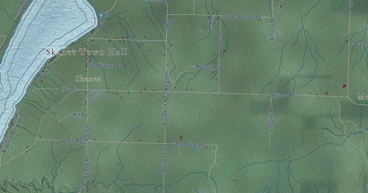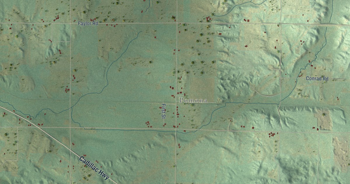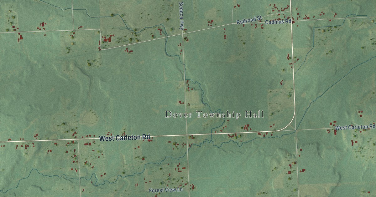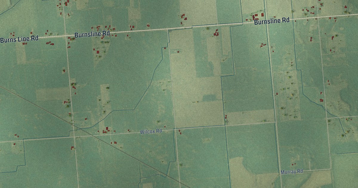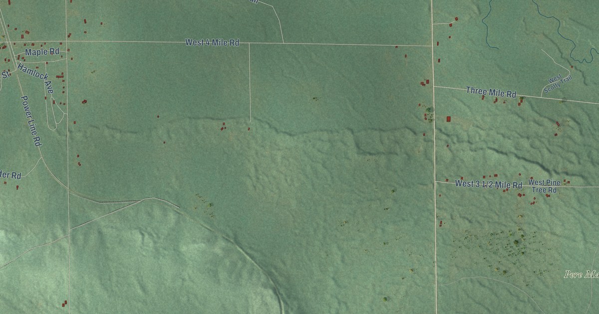
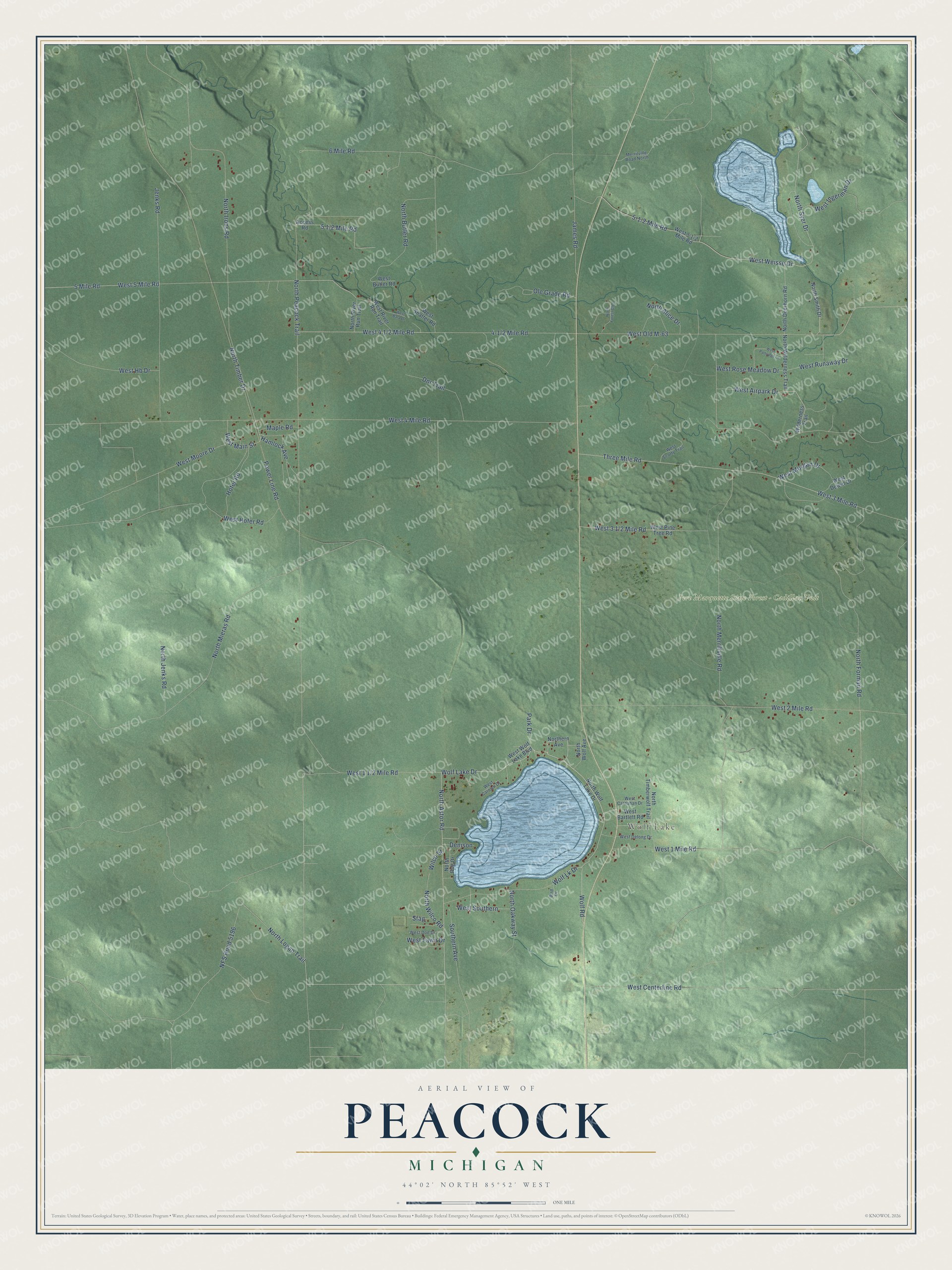
This beautifully detailed map of Peacock, Michigan was created in 2026 using aerial imagery combined with modern topographical, census, street and landmark data. It's a modern aerial view of Peacock in Lake County, Michigan, that combines modern data with a vintage aesthetic. The roads feature printed names, and if you look closely you can find your exact house accurately shown in its correct location.
Explore an aerial view of Peacock, Michigan
On this map you'll find Wolf Lake, Pere Marquette State Forest – Cadillac Unit, West Centerline Road, Wolf Lake Drive, North Astor Road, West Weisse Drive, North Peacock Trail, Wolf Road, Wolf Lk Drive, 5-1/2 Mile Road, North Syer Drive, North Forman Road, and more. Each red shape is a building, so zoom in on the preview and look for yours.
Here is a piece of Peacock history, in the words of the record. The Michigan Railroads History puts it this way: "Peacock was located on the Chicago & West Michigan line 11 miles north of Baldwin in 1897."
The Census Bureau counted 398 people here in 2020.
Take a closer look at the Peacock map
Names on this map
These names are printed on this map.
Places: Wolf Lake and Pere Marquette State Forest - Cadillac Unit.
Streets and roads: West Centerline Road, Wolf Lake Drive, North Astor Road, West Weisse Drive, North Peacock Trail, Wolf Road, Wolf Lk Drive, North Syer Drive, North Forman Road, 5 Mile Road, West 4 Mile Road, North Merrillville Road.
More street names, A to Z
6 Mile Road, Access Road, Bird Drive, Denison, Dnr Trail, Hamlock Avenue, Hofer Road, James Road, Jenks Road, Maple Road, Merrilville Road North, NFS Road 5196, North Alice Drive, North Butler Road, North Deerhorn Road, Northern Avenue, North Forest Glen, North Irons Road, North Jenks Road, North Logan Trail, North Mieras Road, North Oakway Street, North River Run Trail, North Rog Drive, North Smith Drive, North Timber Drive, North Timberwolf Trail, North Wilco Road, North Wilderness Trail, North Wolf Avenue, North Wolf Lake Drive, Ole Grade Road, Park Drive, Power Line Road, Southern Avenue, Stag, Three Mile Road, West 1 Mile Road, West 2 Mile Road, West 3 Mile Road, West 5 Mile Road, West Airpark Drive, West Bala Drive, West Bartlett Road, West Butler Road, West Carnahan Drive, West Carolyn Drive, West Delong Drive, West Dewitt Drive, West Doe Drive, West Fawn Drive, West Hb Drive, West Hofer Road, West Ingerman Drive, West Main Street, West Moore Drive, West Morgan Drive, West Old M-63, West Partridge Lane, West Pine Tree Road, West River Run Trail, West Rose Meadow Drive, West Runaway Drive, West Scotty Trail, West Shaffer Road, West Southern, West Wolf Lake Boulevard, Wilco Street, Wilderness Trail.
Created by KNOWOL in 2026. The buildings are small red shapes, the roads carry their printed names, and shaded relief shows the shape of the land. The title panel reads "AERIAL VIEW OF PEACOCK, MICHIGAN" with 44°02' NORTH 85°52' WEST.
It suits a den, a classroom or a front hall, and it makes a gift for anyone with Peacock roots. Open the preview and find the block you know. See sizes and frames for the Peacock map.