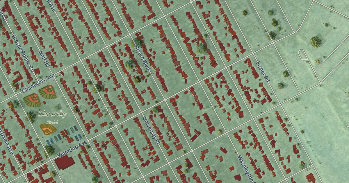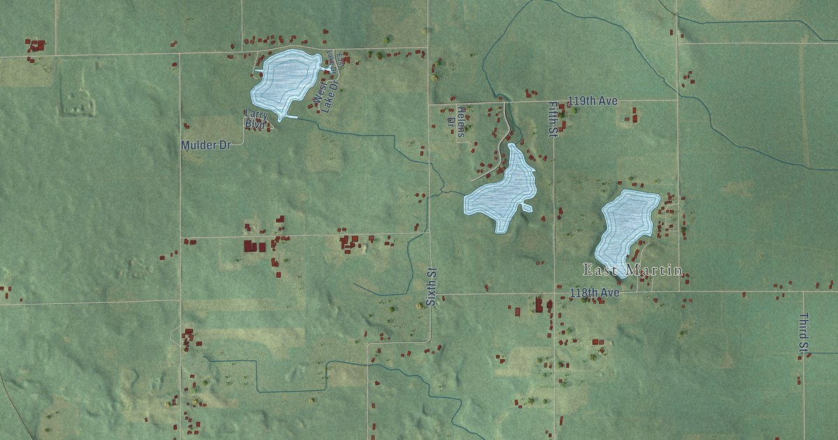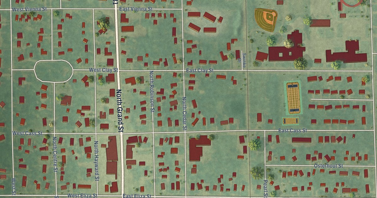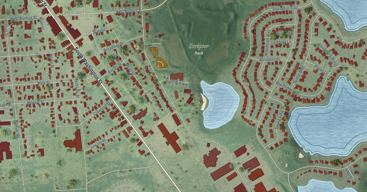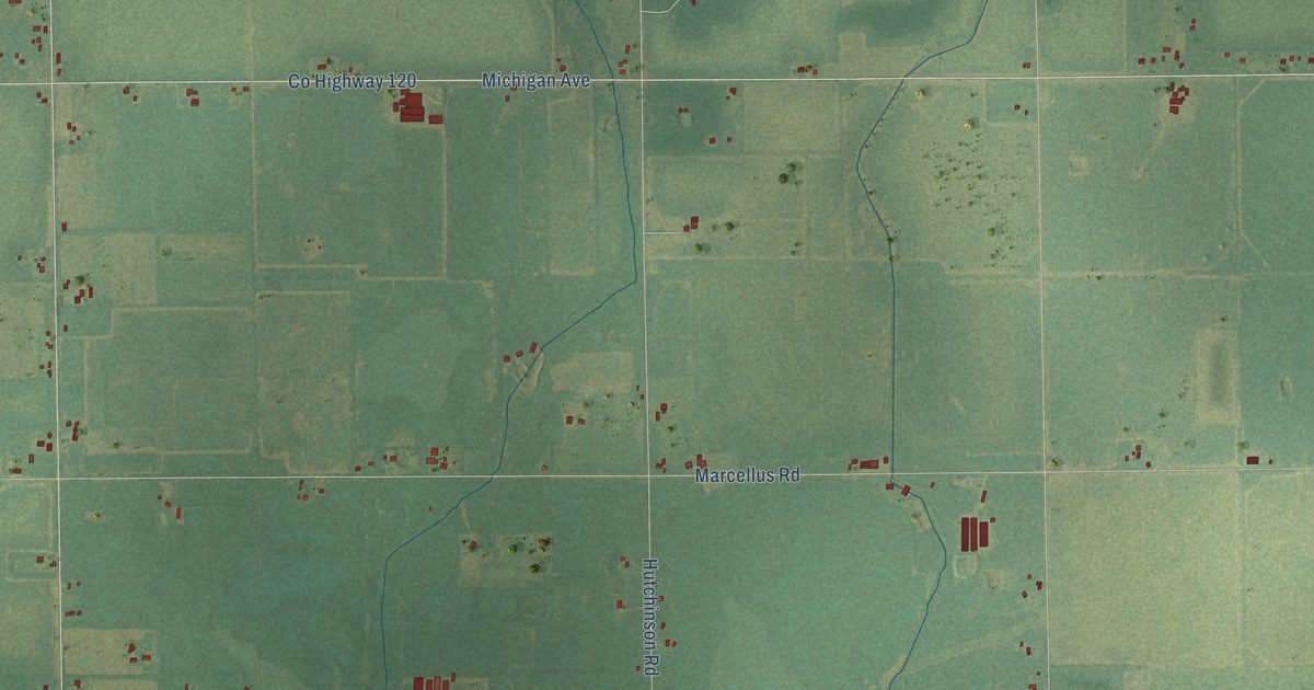
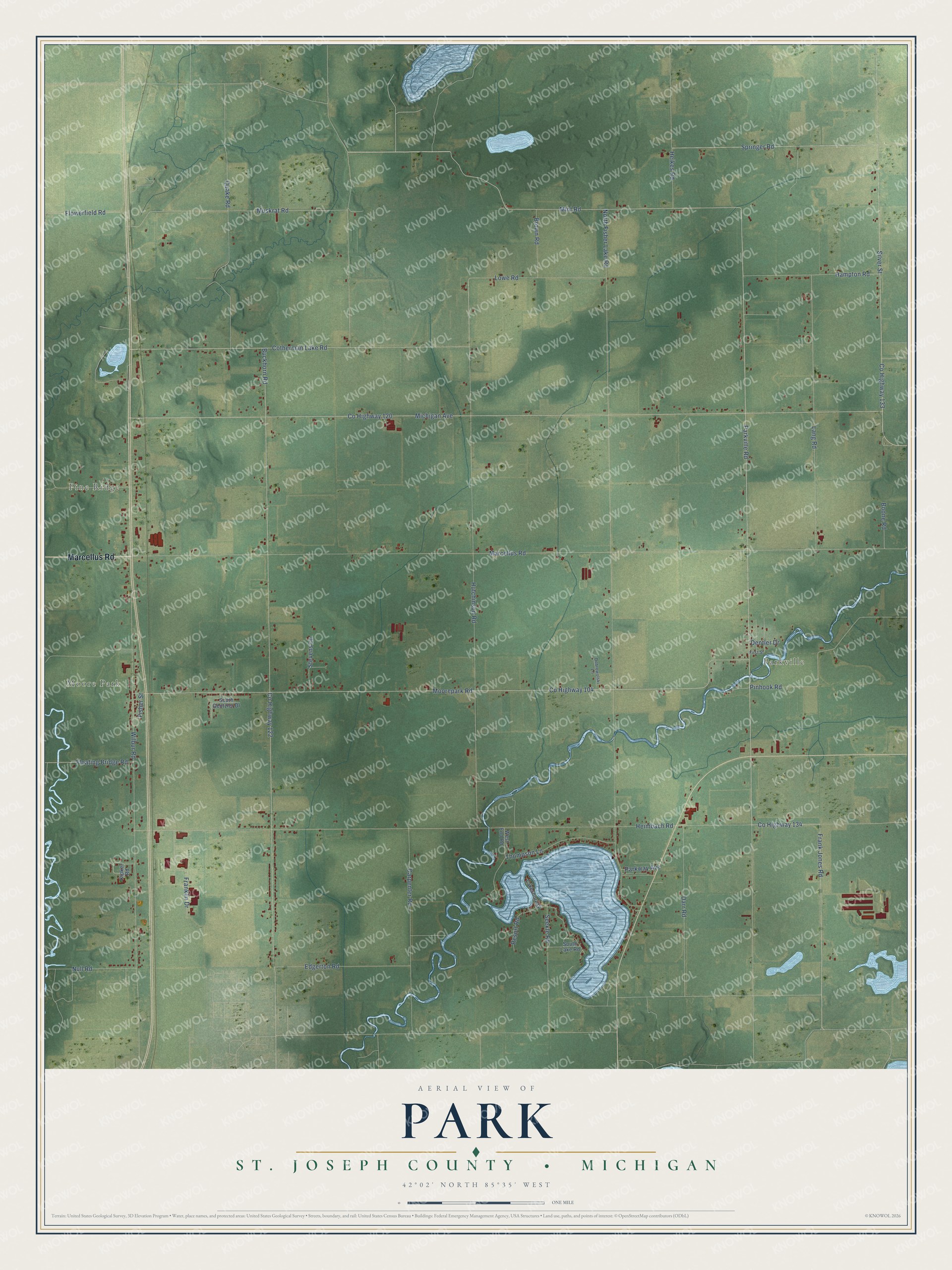
This beautifully detailed map of Park, Michigan was created in 2026 using aerial imagery combined with modern topographical, census, street and landmark data. It's a modern aerial view of Park in St. Joseph County, Michigan, that combines modern data with a vintage aesthetic. The roads feature printed names, and if you look closely you can find your exact house accurately shown in its correct location.
Explore an aerial view of Park, Michigan
On this map you'll find Moore Park, Pine Ridge, Parkville, Marcellus Road, Mint Road, Co Highway 134, Co Highway 122, Co Highway 120, Co Highway 133, Silver Street, Quake Road, Buckhorn Road, and more. Each red shape is a building, so zoom in on the preview and look for yours.
Every town has a first chapter, and Park is no exception. The History of St. Joseph County puts it this way: "The first society of the above-named church was formed in the township of Park, about the year 1849, under the labors of Rev. George Dell, a missionary sent out by the Ohio conference of the Evangelical association, who also organized a class in Flowerfield township, four miles northwest of Three Rivers, about the same time."
The Census Bureau counted 2,397 people here in 2020.
Take a closer look at the Park map
Names on this map
These names are printed on this map.
Places: Moore Park, Pine Ridge and Parkville.
Streets and roads: Marcellus Road, Mint Road, County Highway 134, County Highway 122, County Highway 120, County Highway 133, Silver Street, Quake Road, Buckhorn Road, Michigan Avenue, Heimbach Road, Parkville Road.
More street names, A to Z
Boone Road, Brown Road, Carpenter Road, Cotherman Lake Road, County Highway 104, Darr Road, Dentler Drive, Dobrowolski Lane, Edgerton Road, First Street, Fisher Street, Floating Bridge Road, Flowerfield Road, Frank Jones Road, Franklin Drive, Hampton Road, Heikes Road, Hutchinson Road, Kipker Road, Lakeshore Drive, Lang Road, Lowe Road, Moorepark Road, Muskrat Road, North Fisher Lake Road, Null Road, Parkway Avenue, Pinhook Road, Resort Road, Seekle Road, South Gentzler Drive, South Lake Road, Springer Road, Stevens Lane, Thompson Lane, West End Road, Wilbur Road.
Created by KNOWOL in 2026. The buildings are small red shapes, the roads carry their printed names, and shaded relief shows the shape of the land. The title panel reads "AERIAL VIEW OF PARK, ST. JOSEPH COUNTY • MICHIGAN" with 42°02' NORTH 85°35' WEST.
Hang it in the hallway, the office or the cabin, or give it to someone who left Park and still calls it home. Open the preview and look for a street you know. See sizes and frames for the Park, St. Joseph County map.