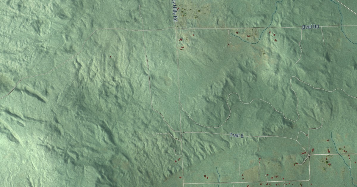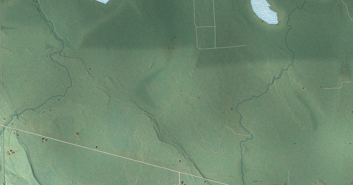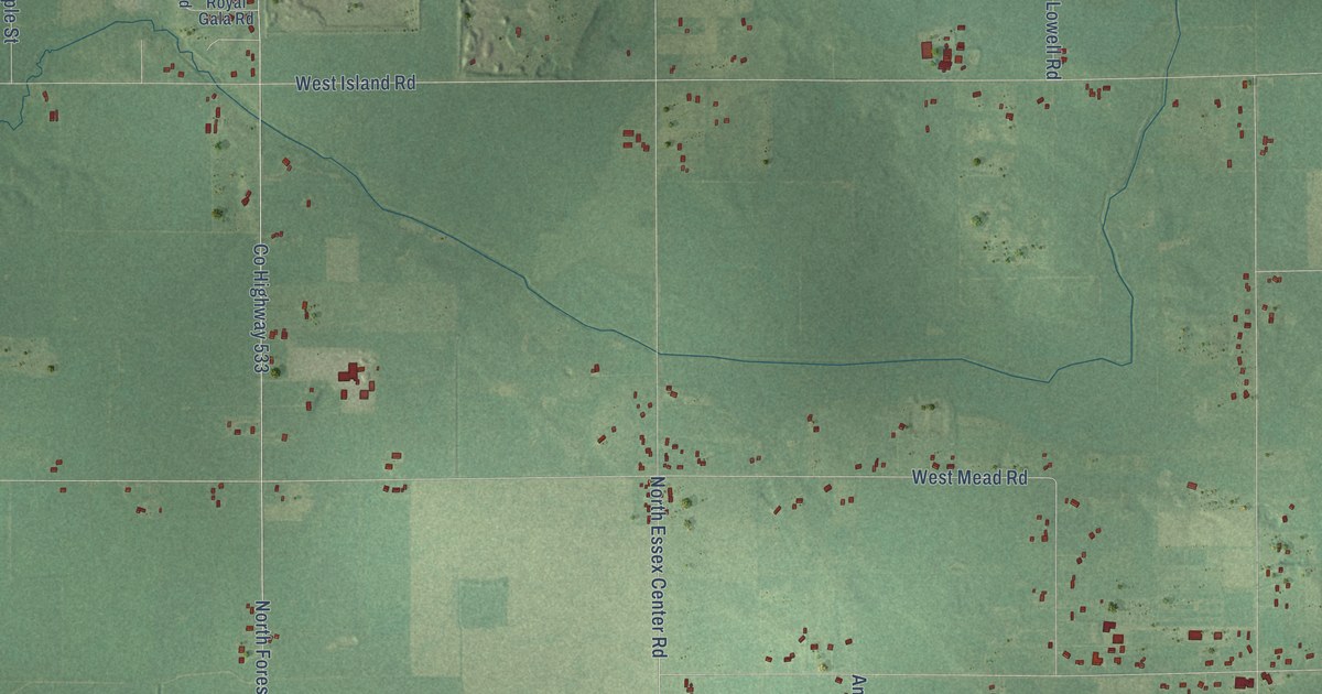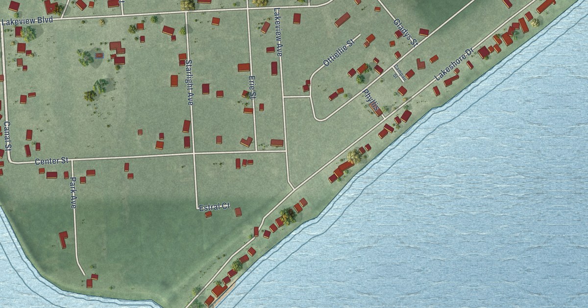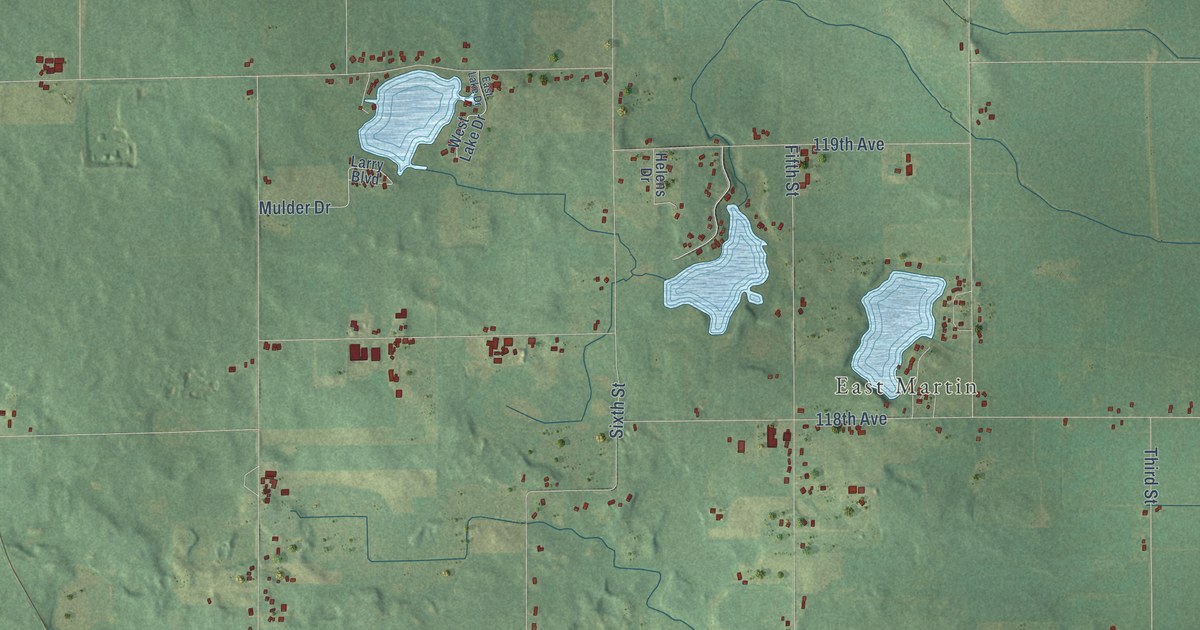
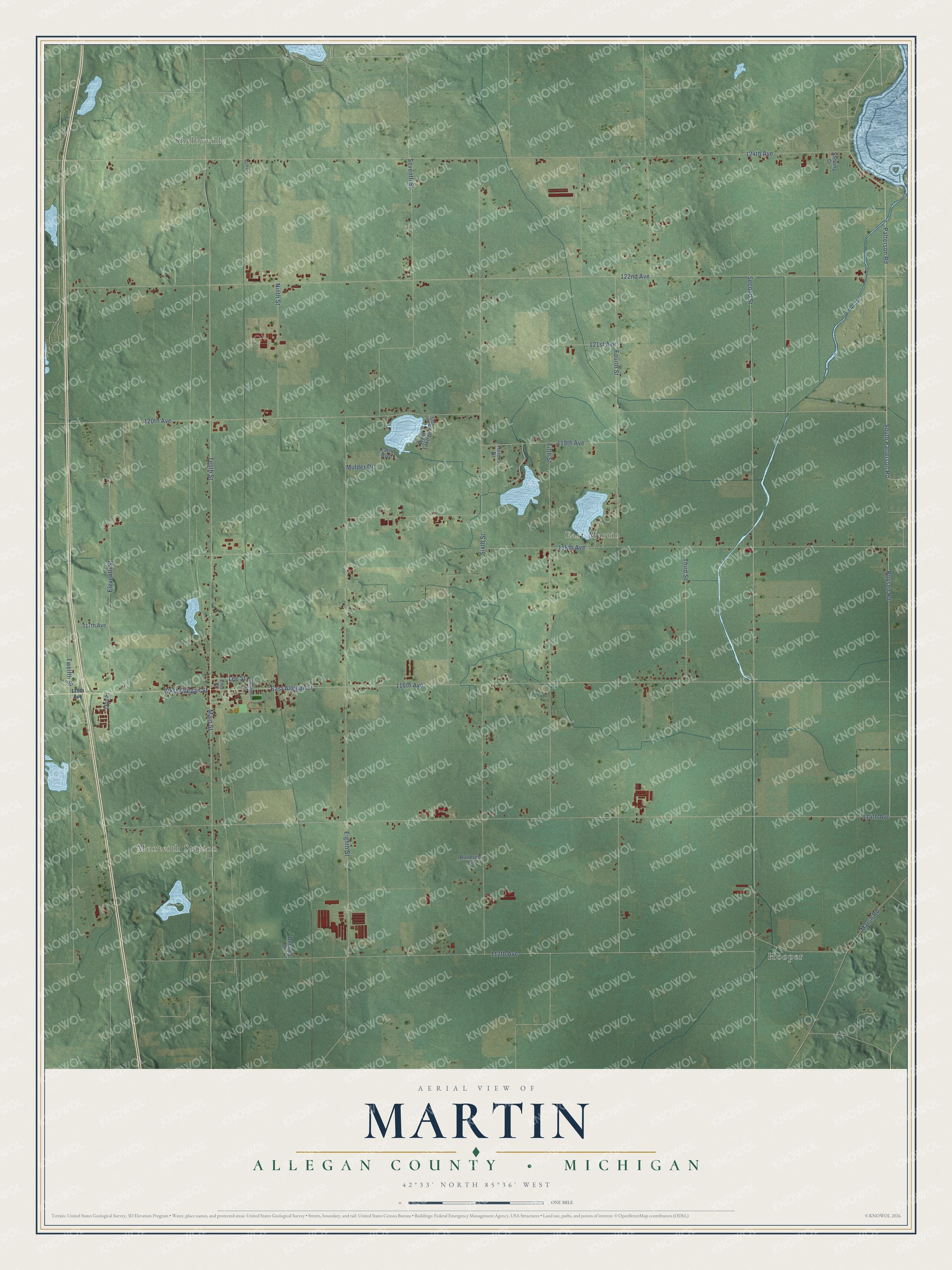
This beautifully detailed map of Martin, Michigan was created in 2026 using aerial imagery combined with modern topographical, census, street and landmark data. It's a modern aerial view of Martin in Allegan County, Michigan, that combines modern data with a vintage aesthetic. The roads feature printed names, and if you look closely you can find your exact house accurately shown in its correct location.
Explore an aerial view of Martin, Michigan
On this map you'll find Hooper, Shelbyville, Monteith Station, East Martin, Patterson Road, South Patterson Road, Lee Street, Boysen Road, Twelfth Street, Sixth Street, 122nd Avenue, 116th Avenue, and more. Each red shape is a building, so zoom in on the preview and look for yours.
Martin has a story worth telling. The History of Allegan and Barry Counties puts it this way: "Dr. Calvin White, one of the first settlers, was the first physician to reside in the township of Martin. He came from Canada in 1836, and continued a resident until his death."
The Census Bureau counted 2,723 people here in 2020.
Take a closer look at the Martin map
Names on this map
These names are printed on this map.
Places: Hooper, Shelbyville, Monteith Station and East Martin.
Streets and roads: Patterson Road, South Patterson Road, Lee Street, Boysen Road, Twelfth Street, Sixth Street, 122nd Avenue, 116th Avenue, 124th Avenue, Tenth Street, 114th Avenue, 112th Avenue.
More street names, A to Z
117th Avenue, 118th Avenue, 119th Avenue, 120th Avenue, 121st Avenue, Butternut Lane, Chalmers Street, Delaney Drive, Dover, East Allegan Street, East Lake Drive, Eighth Street, Eleventh Street, Elsie Street, Fifth Street, Fourth Street, Helens Drive, Larry Boulevard, Main Street, Marsh Road, Mulder Drive, Ninth Street, Railroad, Second Street, Seventh Street, Sterling Drive, Third Street, West Allegan Street, West Lake Drive.
See it on a wall
The Martin, Allegan County map as a framed print. Swipe for more.


Created by KNOWOL in 2026. The buildings are small red shapes, the roads carry their printed names, and shaded relief shows the shape of the land. The title panel reads "AERIAL VIEW OF MARTIN, ALLEGAN COUNTY • MICHIGAN" with 42°33' NORTH 85°36' WEST.
It looks right in a kitchen, an office or a den, and it's a gift for anyone who grew up in Martin or moved away. Open the preview and find your street. See sizes and frames for the Martin, Allegan County map.