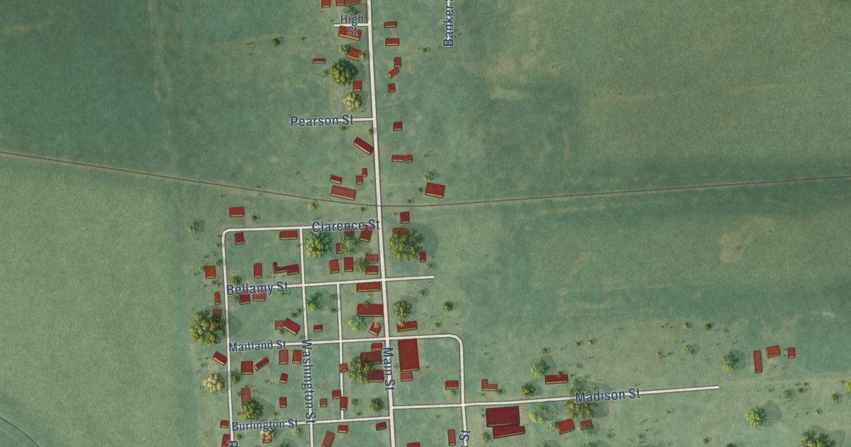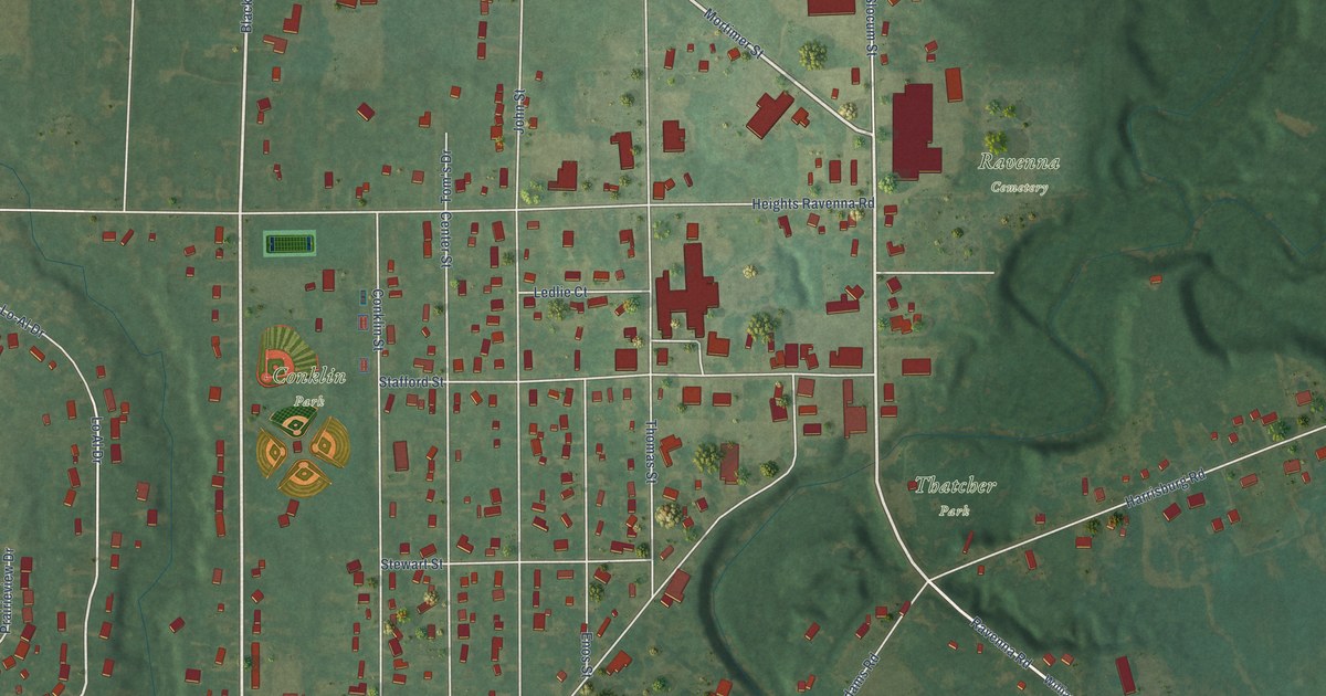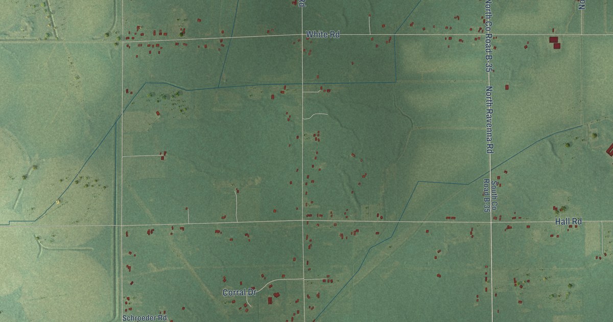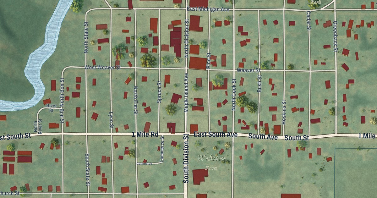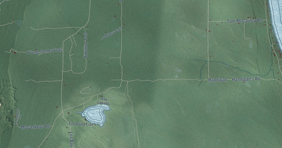
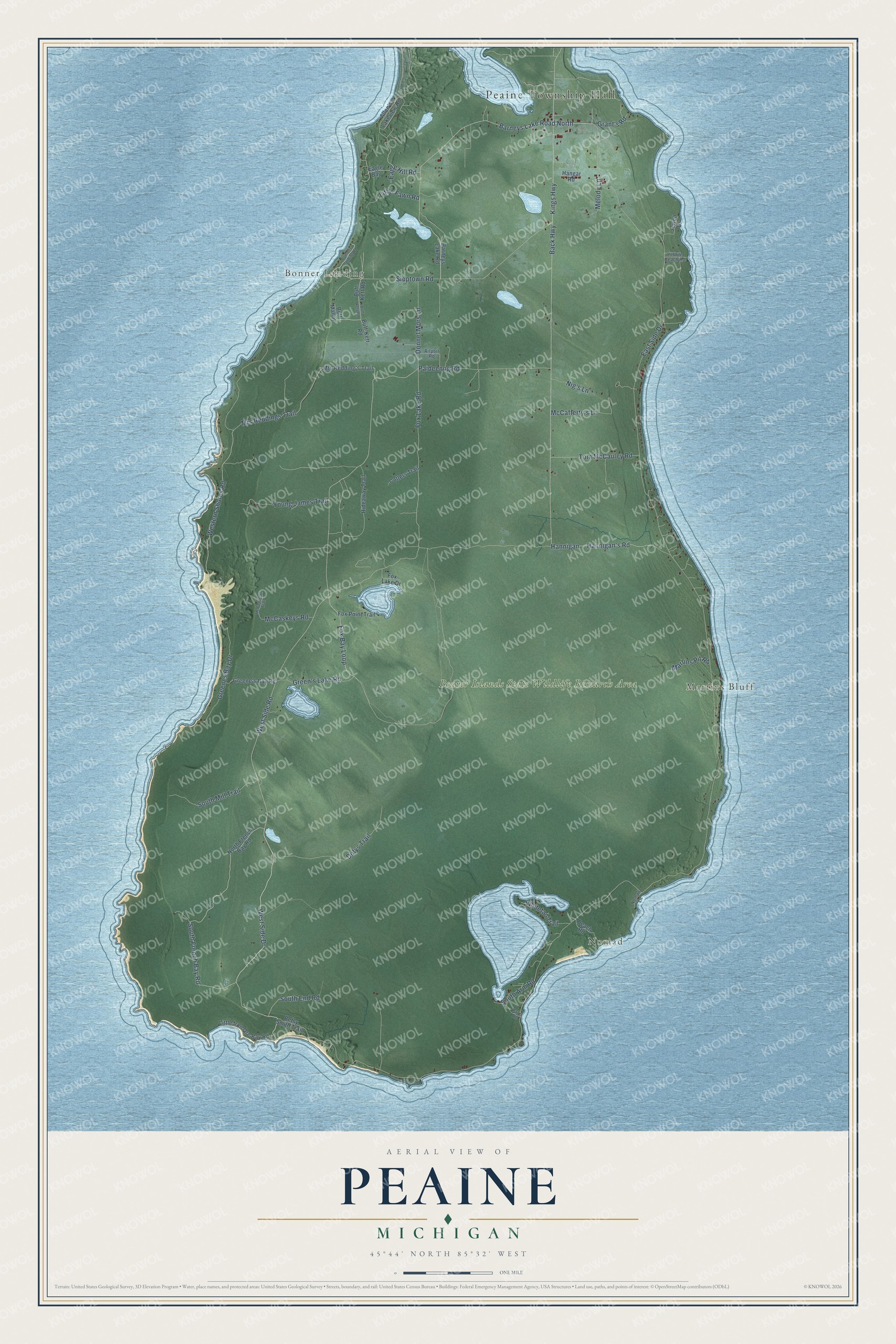
This beautifully detailed map of Peaine, Michigan was created in 2026 using aerial imagery combined with modern topographical, census, street and landmark data. It's a modern aerial view of Peaine in Charlevoix County, Michigan, that combines modern data with a vintage aesthetic. The roads feature printed names, and if you look closely you can find your exact house accurately shown in its correct location.
Explore an aerial view of Peaine, Michigan
On this map you'll find Peaine Township Hall, Nomad, Bonner Landing, Martins Bluff, Beaver Islands State Wildlife Research Area, West Side Drive, South French Bay Road, West Side Road, Barneys Lake Road North, South End Road, Fox Lake Road, Mrs Reddings Trail, and more. Each red shape is a building, so zoom in on the preview and look for yours.
Peaine has a story worth telling. The Traverse Region puts it this way: "In 1847 the Beaver Islands were erected into a township by the name of Peaine. It was not organized until 1850 when the Mormons having become numerous, established a local government, and occupied the offices."
The Census Bureau counted 266 people here in 2020.
Take a closer look at the Peaine map
Names on this map
These names are printed on this map.
Places: Peaine Township Hall, Nomad, Bonner Landing, Martins Bluff and Beaver Islands State Wildlife Research Area.
Streets and roads: West Side Drive, South French Bay Road, West Side Road, Barneys Lake Road North, South End Road, Fox Lake Road, Mrs Reddings Trail, East Side Drive, Back Highway, Kings Highway, Fox Bay Loop, Western Shores Road.
More street names, A to Z
Airport Road, Allen's Lakeview Road, Barneys Lake Road, Beach Road, Betsy Smith Trail, Bonners Landing Road, Buff- Kett Road, Buff-Kett Road, Buff Kett Road, Buff Malloy, Cotters Trail, Donnel Mors Lane, Dotys Trail, Eagle Bay, Eagle Hill Road, Fox Lake Drive, Fox Point Trail, Grant's Road, Green's Lake Road, Greene's Bay Road, Greenes Bay Drive, Hangar Road, Hannigan, Hannigan's Road, Hideaway Trail, Jewell Drive, Little Fawn Road, Little Iron Ore Bay Road, Martins Pit Road, McCafferty's Lane, McCaskeys Road, Mc Fadden's Trail, Melody Lane, Mrs Redding's Trail, Nig's Lane, Nomad Lane, North French Bay Road, Paideenog Road, Pat's Road, Pebble Beach Road, Sloptown Road, South Arm Road, South Mill Trail, Tom McCauley Road, Whitetail Trail, Young James Trail.
Created by KNOWOL in 2026. The buildings are small red shapes, the roads carry their printed names, and shaded relief shows the shape of the land. The title panel reads "AERIAL VIEW OF PEAINE, MICHIGAN" with 45°44' NORTH 85°32' WEST.
It looks right in a kitchen, an office or a den, and it's a gift for anyone who grew up in Peaine or moved away. Open the preview and find your street. See sizes and frames for the Peaine map.