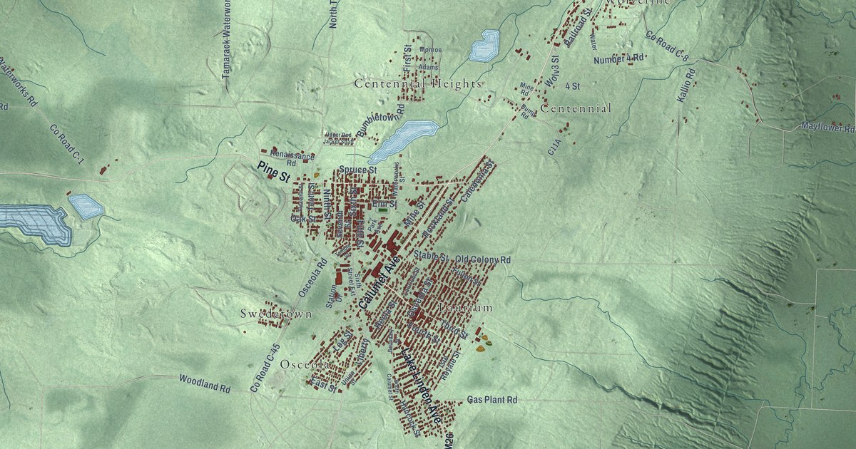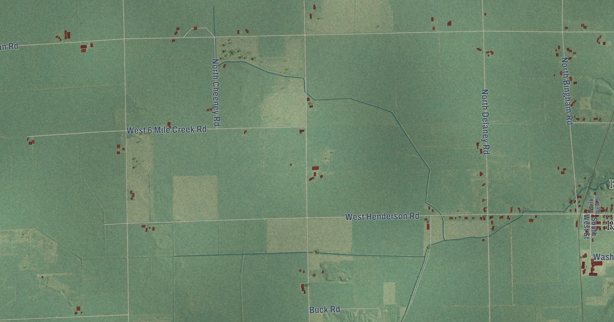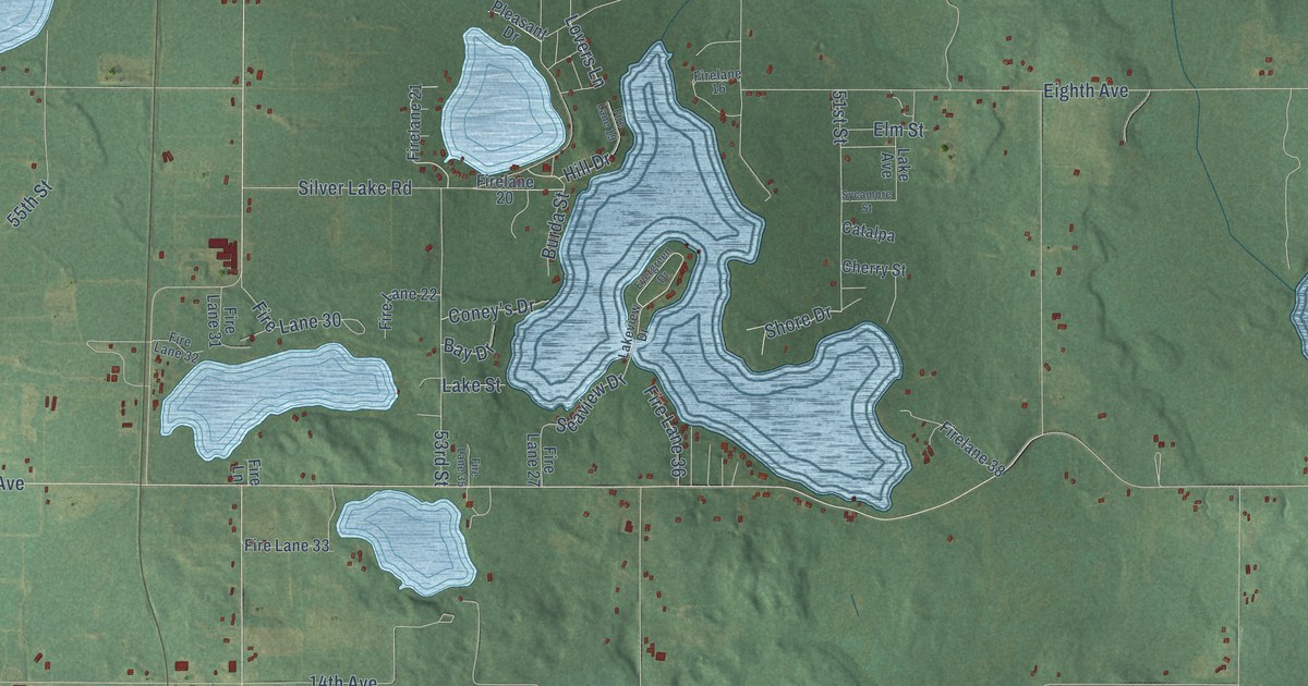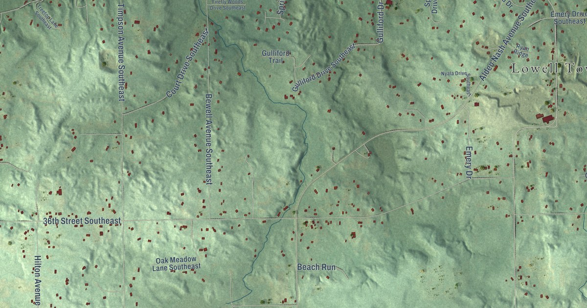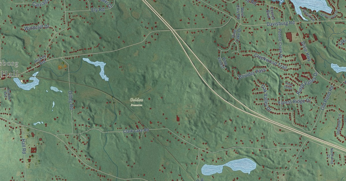
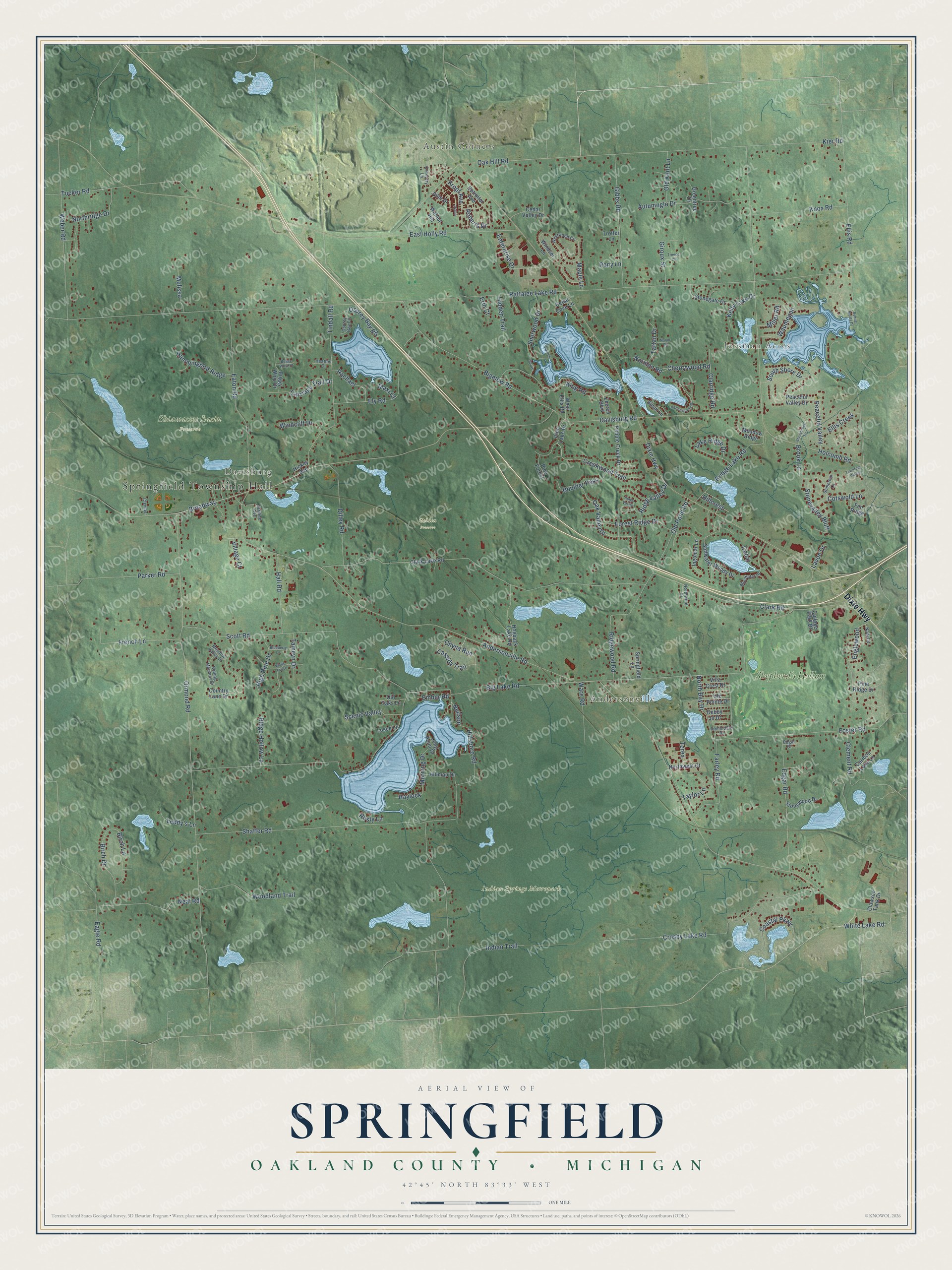
This beautifully detailed map of Springfield, Michigan was created in 2026 using aerial imagery combined with modern topographical, census, street and landmark data. It's a modern aerial view of Springfield in Oakland County, Michigan, that combines modern data with a vintage aesthetic. The roads feature printed names, and if you look closely you can find your exact house accurately shown in its correct location.
Explore an aerial view of Springfield, Michigan
On this map you'll find Springfield Township Hall, Austin Corners, Jossman Acres, Davisburg, Andersonville, Golden Preserve, Indian Springs Metropark, Shiawassee Basin Preserve, Shepherd's Hollow, Dixie Highway, White Lake Road, Crosby Lake Road, and more. Each red shape is a building, so zoom in on the preview and look for yours.
Here is a piece of Springfield history, in the words of the record. The History of Oakland County puts it this way: "The post-office at Springfield was established about 1835-36, and David Stanard was probably first postmaster. Mr. Simonson held the office for twelve years, as above stated, and A. S. Johnson was in for some time."
The Census Bureau counted 14,703 people here in 2020.
Take a closer look at the Springfield map
Names on this map
These names are printed on this map.
Places: Springfield Township Hall, Austin Corners, Jossman Acres, Davisburg, Andersonville, Golden Preserve, Indian Springs Metropark, Shiawassee Basin Preserve and Shepherd's Hollow.
Streets and roads: Dixie Highway, White Lake Road, Crosby Lake Road, Broadway, Oak Valley Drive, Roberts Drive, Kropf Avenue, Andersonville Road, Rattalee Lake Road, Big Lake Road, Davisburg Road, Clark Road.
More street names, A to Z
Autumnglo Drive, Bigelow Road, Birch Drive, Birch Lane, Blueberry Lane, Bluewater Drive, Boulder Pass, Bridge Lake Road, Brook Lane, Buggy Whip Court, Buggy Whip Drive, Caribou Lake Lane, Carriage Trail Drive, Cassidy Trail, Cedar, Cedar Cove Lane, Cedar Valley Drive, Cherrywood Road, Chyna Run, Clark Lake Road, Clarridge Road, Clawson Tank Drive, Clemae, Clement Road, Coastal Parkway, College Park Drive, Cotswold Lane, Country Lane Drive, Coventry Lane, Creekwood Trail, Debby Jo Drive, Detroiter Avenue, Diane, Dilley Road, Eagle Road, East Holly Road, Eaton Road, Edgar Court, Edgar Road, Ellis Creek, Ellis Road, Ely Road, Ember Road, Englewood, Enterprise Drive, Erin Court, Farley Road, Fen Ridge, Forest Ridge Drive, Foster Road, French Lane, Gibbs Road, Giroux Street, Greentree Drive, Hall Road, Harbortowne Drive, Haylock, Heather Court, Hickey Avenue, Hidden Trail, High Pine Drive, Hillcrest, Hillman Drive, Hillsboro Road, Hogback Lake Road, Holcomb Road, Hummingbird Ridge, Indian Trail, Ingomar Lane, Jardine Avenue, Julie Drive, Kelly Lake Drive, Kier Road, King Road, Kings Valley, Knox Road, Lake Ridge Drive, Lavon Drive, Leddy's Lane, Long Point Drive, Losee Lane, Maple Lane, Maxi Court, Meadow Ridge, Meadow Valley Drive, Melissa, Miller Road, Morning Drive, Nadette, Naiad Road, Neal Road, Neilson, Norman Road, North Bay Drive, Northridge Drive, Northwest Court, Northwind Court, Oak Hill Road, Old Kent Lane, Old Oaks Lane, Old Pond Road, Ormond Road, Osprey Bay Circle, Osprey Bay Road, Parker Road, Patrick, Peaceful Valley, Peaceful Valley Drive, Pebble Creek Drive, Pine Forest, Pine Lake Drive, Pine Ridge Drive, Pony Lane, Rachael, Ridge Hollow Lane, Ridge Valley Drive, Ridgewood Road, Rolling Meadow Drive, Rusty Lane, Scenic Valley, Scott Road, Semindale Drive, Shaffer Road, Sherwood Drive, Shore, Softwater Woods Drive, Somerhill Lane, South Shore Drive, Springfield Lane, Stonebrook Lane, Stonegate Drive, Stonevalley Bluff, Stonewood Drive, Sunset Bluffs Drive, Susin Lane, Tamcyn Drive, Tartan Drive, Taylor Lane, Terex, Tindall Road, Towering Pines, Treece Court, Trotter Lane, Tucker Road, Ute Pointe Drive, Villa Crest Drive, Village Court, Walnut Hill, Ware Road, Waumegah, Weber Road, West Ellis Road, Westwood Circle, White Tail Drive, Windcliff Drive, Windsor Lane, Woodland Trail, Zeerco Boulevard.
Created by KNOWOL in 2026. The buildings are small red shapes, the roads carry their printed names, and shaded relief shows the shape of the land. The title panel reads "AERIAL VIEW OF SPRINGFIELD, OAKLAND COUNTY • MICHIGAN" with 42°45' NORTH 83°33' WEST.
It suits a den, a classroom or a front hall, and it makes a gift for anyone with Springfield roots. Open the preview and find the block you know. See sizes and frames for the Springfield, Oakland County map.