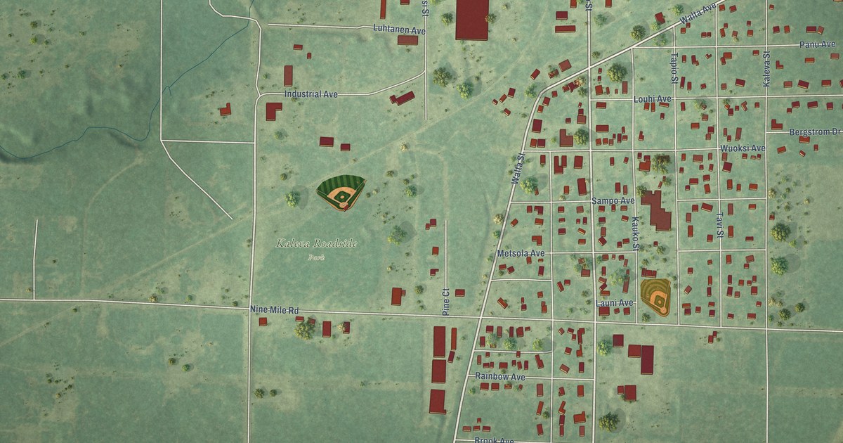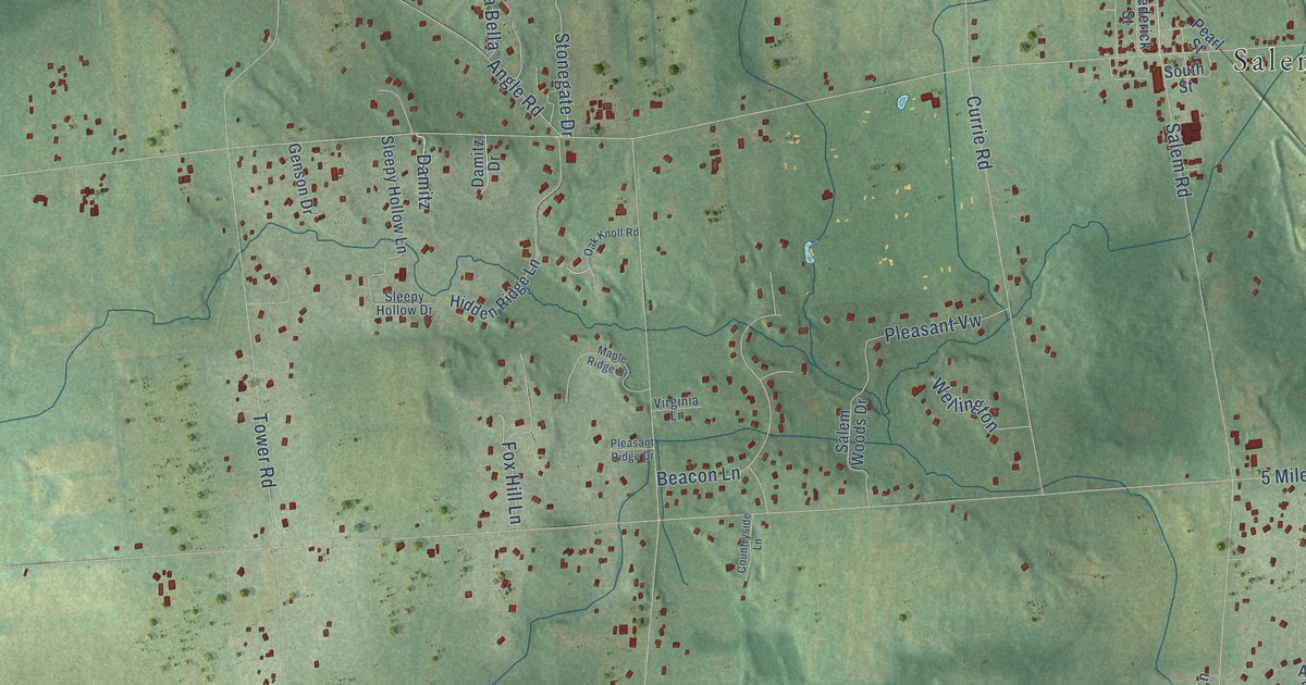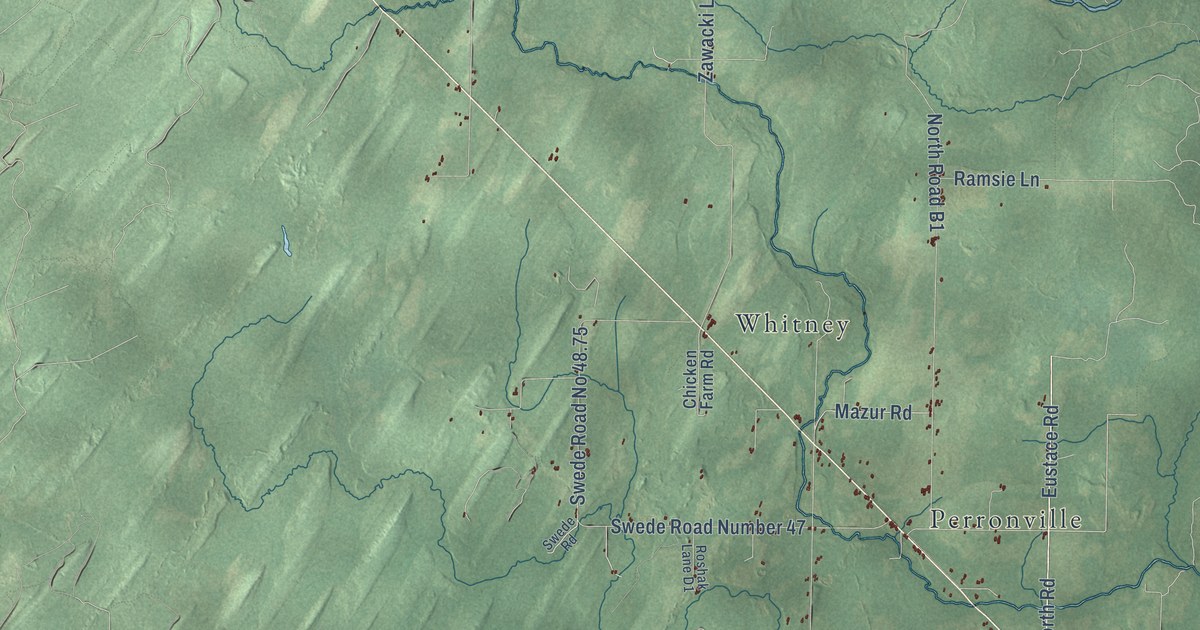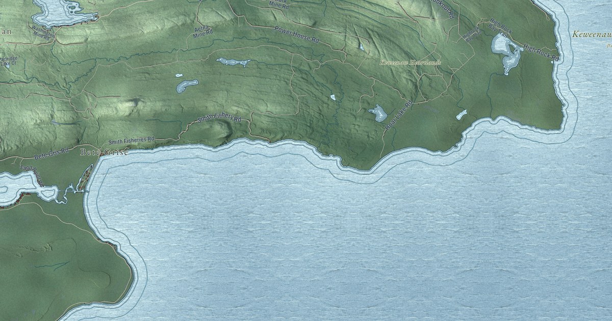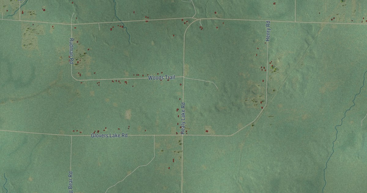
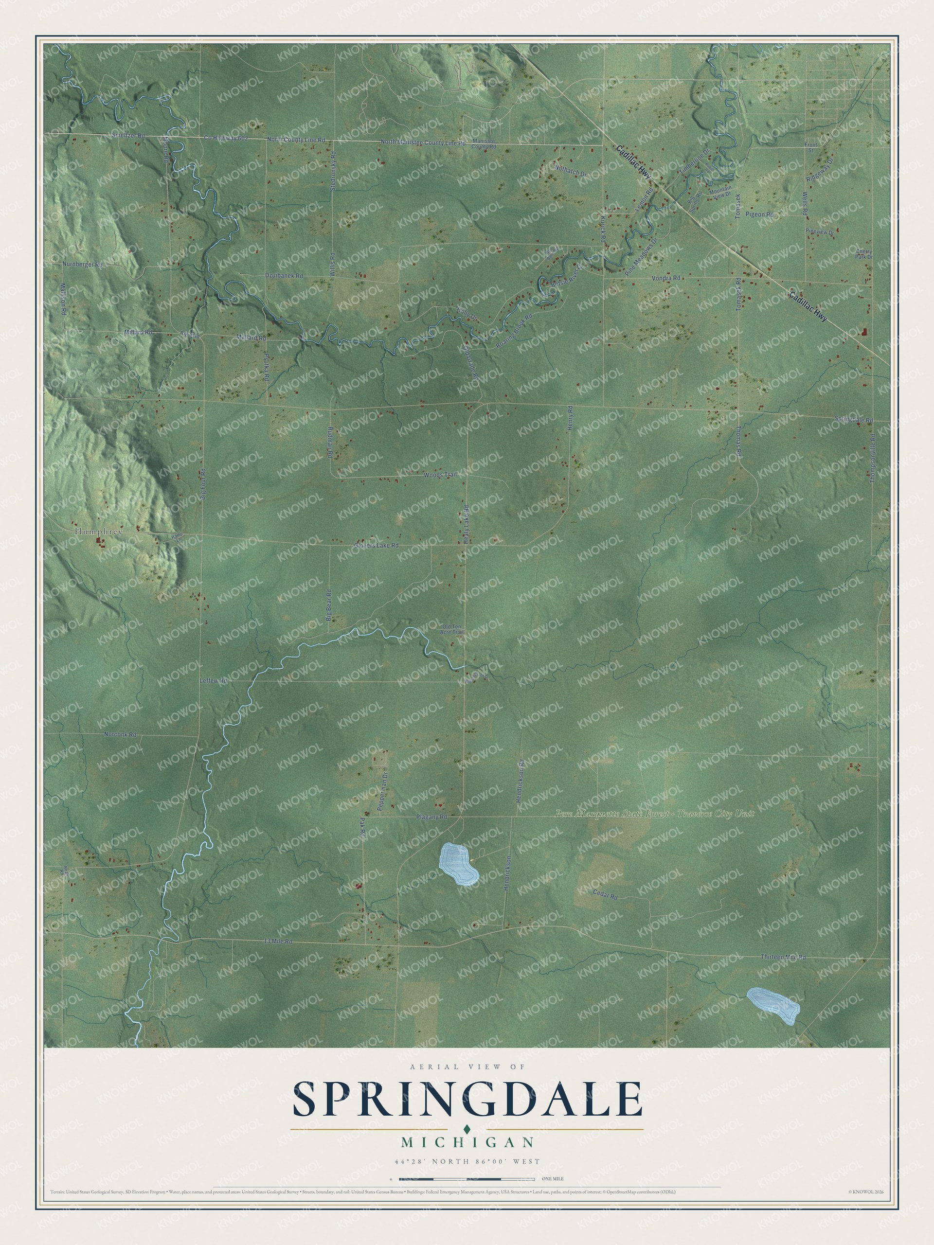
This beautifully detailed map of Springdale, Michigan was created in 2026 using aerial imagery combined with modern topographical, census, street and landmark data. It's a modern aerial view of Springdale in Manistee County, Michigan, that combines modern data with a vintage aesthetic. The roads feature printed names, and if you look closely you can find your exact house accurately shown in its correct location.
Explore an aerial view of Springdale, Michigan
On this map you'll find Pere Marquette State Forest – Traverse City Unit, Humphrey, Cadillac Highway, North County Line Road, Co Highway 602, North Manistee County Line Road, Smeltzer Road, Woods Trail, Rudman Road, Thompsonville Road, Springdale Road, 13 Mile Road, and more. Each red shape is a building, so zoom in on the preview and look for yours.
Here is a piece of Springdale history, in the words of the record. The History of Mason County puts it this way: "The early history of Springdale is not unlike that of many other localities. The first settlers came about the year 1866, and began the work of making homes which they might call their own."
The Census Bureau counted 849 people here in 2020.
Take a closer look at the Springdale map
Names on this map
These names are printed on this map.
Places: Pere Marquette State Forest - Traverse City Unit and Humphrey.
Streets and roads: Cadillac Highway, North County Line Road, County Highway 602, North Manistee County Line Road, Smeltzer Road, Woods Trail, Rudman Road, Thompsonville Road, Springdale Road, 13 Mile Road, Thirteen Mile Road, Big Four Road.
More street names, A to Z
Beall Road, Betsie River Drive, Big 4 Road, Big Bear Road, Big Spring Road, Cedar Road, Cherry Park Drive, Dzuibanek Road, Front Street, Glovers Lake Road, Hamp Lane, Healy Lake Road, Hendrickson, Hendrickson Road, Henry Road, Holly Drive, Kurick Road, Leffew Road, Lemon Road, Mallard Road, Mallison Road, Manistee County Road, Millard Road, Moore Road, Mountain View Drive, Norconk Road, Nurnberger Road, Nuthatch Drive, Old Grade Road, Old Ten Acre Trail, Pak Road, Pepperman Drive, Pigeon Road, Pine Meadows Drive, Pineview Drive, Plagany Road, Psutka Road, Rapids Road, Red Barn Road, Ridgeway Drive, Roaring Brook Road, Stedronsky Road, Thomas Road, Timberline Drive, Tomasek, Tomasek Road, Vondra Road, Wells Road, Willis Road, Winding Creek Drive.
Created by KNOWOL in 2026. The buildings are small red shapes, the roads carry their printed names, and shaded relief shows the shape of the land. The title panel reads "AERIAL VIEW OF SPRINGDALE, MICHIGAN" with 44°28' NORTH 86°00' WEST.
It suits a den, a classroom or a front hall, and it makes a gift for anyone with Springdale roots. Open the preview and find the block you know. See sizes and frames for the Springdale map.