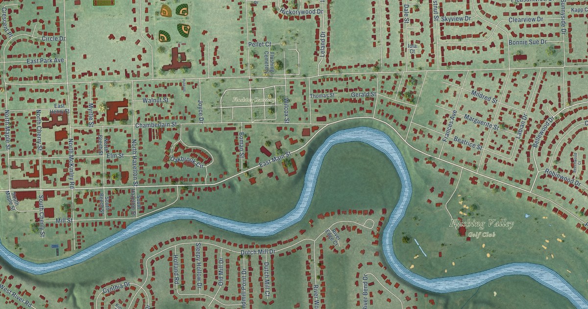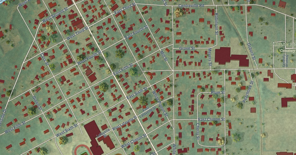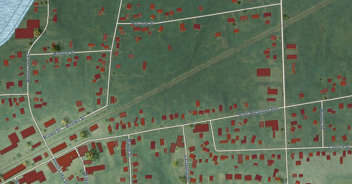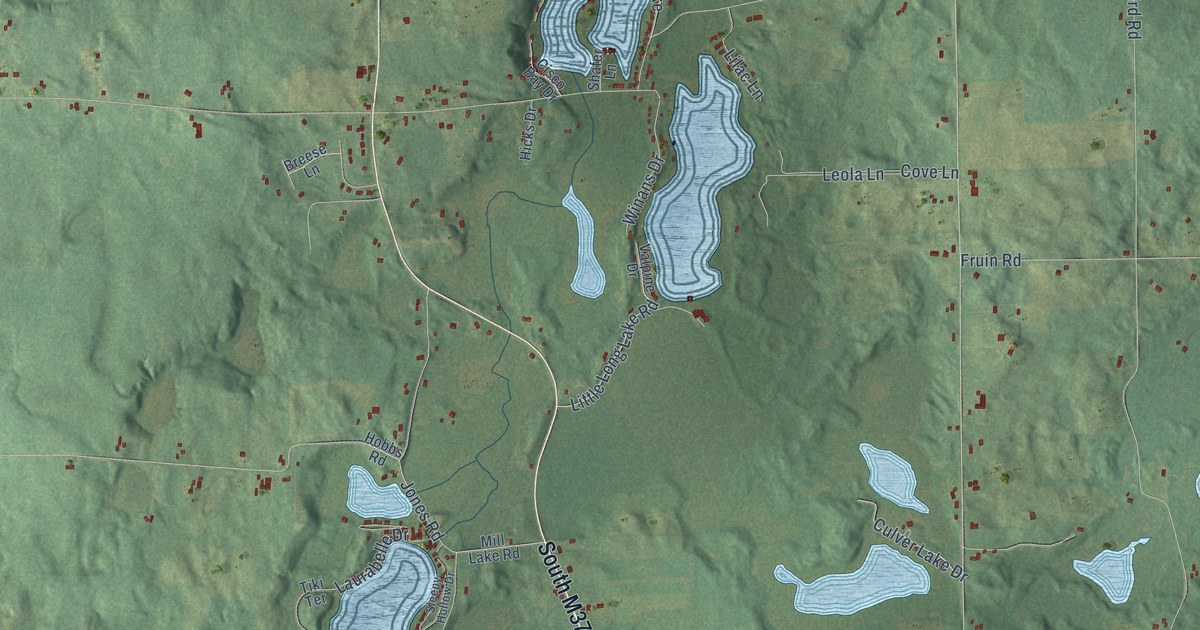
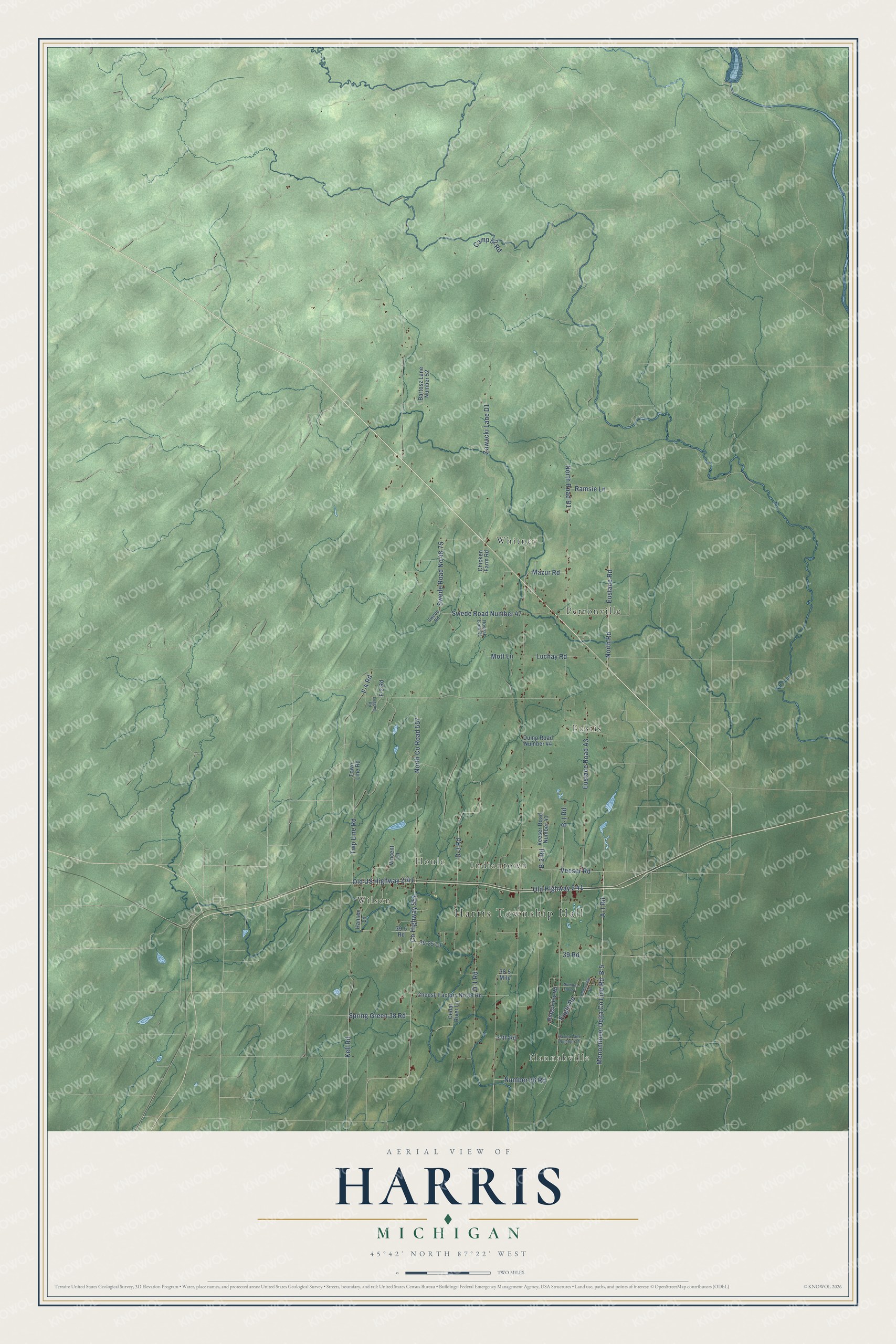
This beautifully detailed map of Harris, Michigan was created in 2026 using aerial imagery combined with modern topographical, census, street and landmark data. It's a modern aerial view of Harris in Menominee County, Michigan, that combines modern data with a vintage aesthetic. The roads feature printed names, and if you look closely you can find your exact house accurately shown in its correct location.
Explore an aerial view of Harris, Michigan
On this map you'll find Harris Township Hall, Hannahville, Wilson, Indiantown, Houle, Eustis, Perronville, Whitney, B-5, A-1 Road, North Road, Eustace Road, and more. Each red shape is a building, so zoom in on the preview and look for yours.
Here is a piece of Harris history, in the words of the record. The History of the Northern Peninsula of Michigan puts it this way: "In 1903 Harris township was organized from a part of Spaulding township, receiving its name in honor of Mr. Harris, and he was elected supervisor not only of the new township but of Menominee county, an office which he has filled most satisfactorily, having been re-elected at the close of each term."
The Census Bureau counted 2,113 people here in 2020.
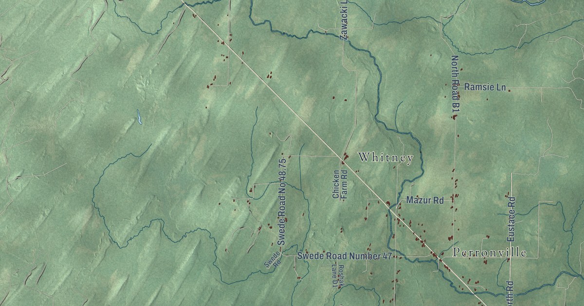
Take a closer look at the Harris map
Names on this map
These names are printed on this map.
Places: Harris Township Hall, Hannahville, Wilson, Indiantown, Houle, Eustis, Perronville and Whitney.
Streets and roads: B-5, A-1 Road, North Road, Eustace Road, Old Highway 2 41, Number 36 Road, Veeser Road, Eustace Road A3, County Highway 557, D-3 Road, B-3 Road, Menominee-Delta County Line Road.
More street names, A to Z
37th Road, 38.5 Mile, 39 Road, 39.5 Road, 39.25 Lane, B-1 Road, Bartosz Lane Number 52, Camp 52 Road, Casino Lane Number 37, Cedar River Lane, Cedarview Drive, Cheese Factory No 38 Road, Chicken Farm Road, D-1 Road, Dump Road Number 44, Eagle Road, F-2 Road, F-4 Road, Hansen Lane, Kell Road, Logging Road, Luchay Road, Mazur Road, Mott Lane, North County Road 557, North Road B1, Number 38 Road, Ramsie Lane, Ridgeview Road, Roshak Lane D1, Spring Green 38 Road, Swede Road, Swede Road No 48.75, Swede Road Number 47, Town Line Road, Twp Line Road, Veeser Road Number 41, Vincent Lane, Zawacki Lane D1.
Created by KNOWOL in 2026. The buildings are small red shapes, the roads carry their printed names, and shaded relief shows the shape of the land. The title panel reads "AERIAL VIEW OF HARRIS, MICHIGAN" with 45°42' NORTH 87°22' WEST.
It suits a den, a classroom or a front hall, and it makes a gift for anyone with Harris roots. Open the preview and find the block you know. See sizes and frames for the Harris map.