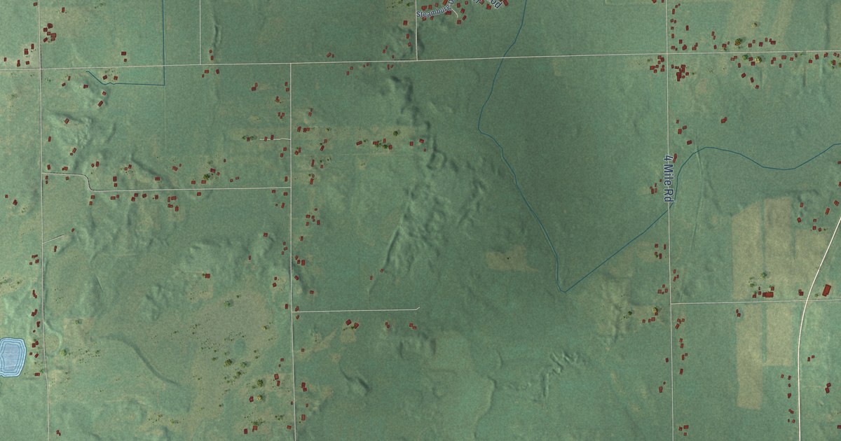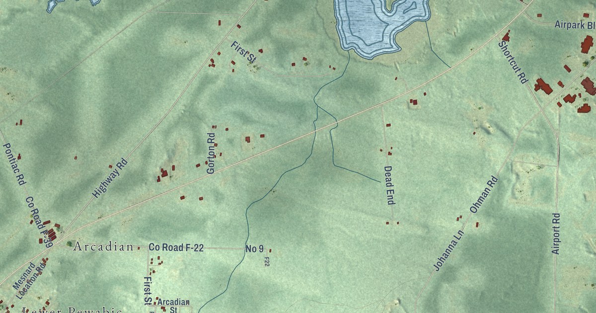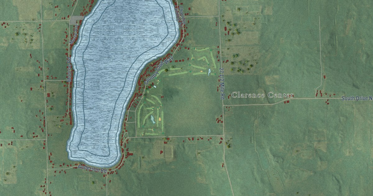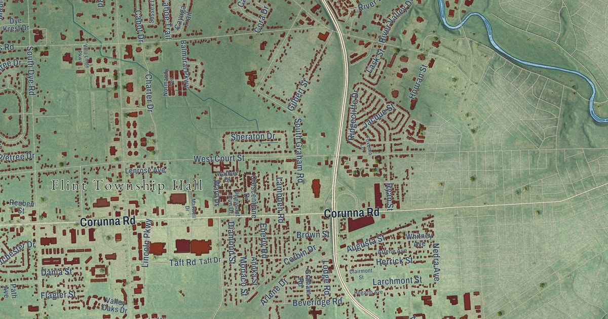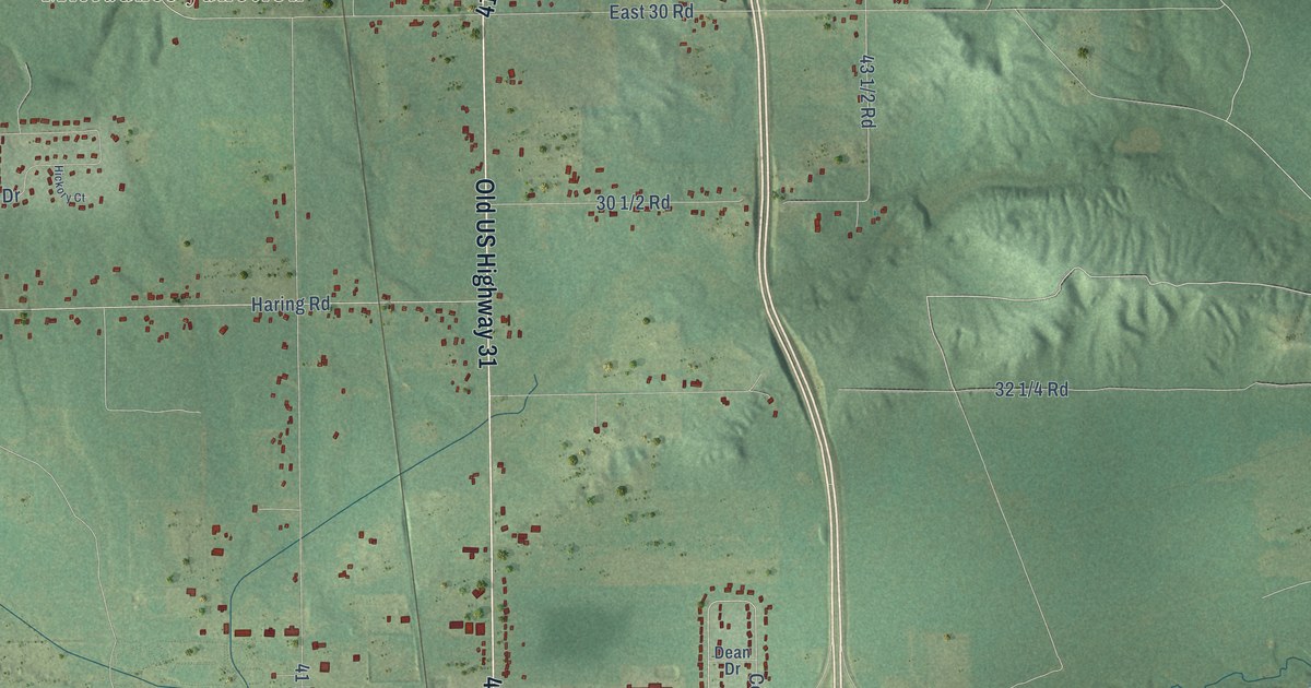
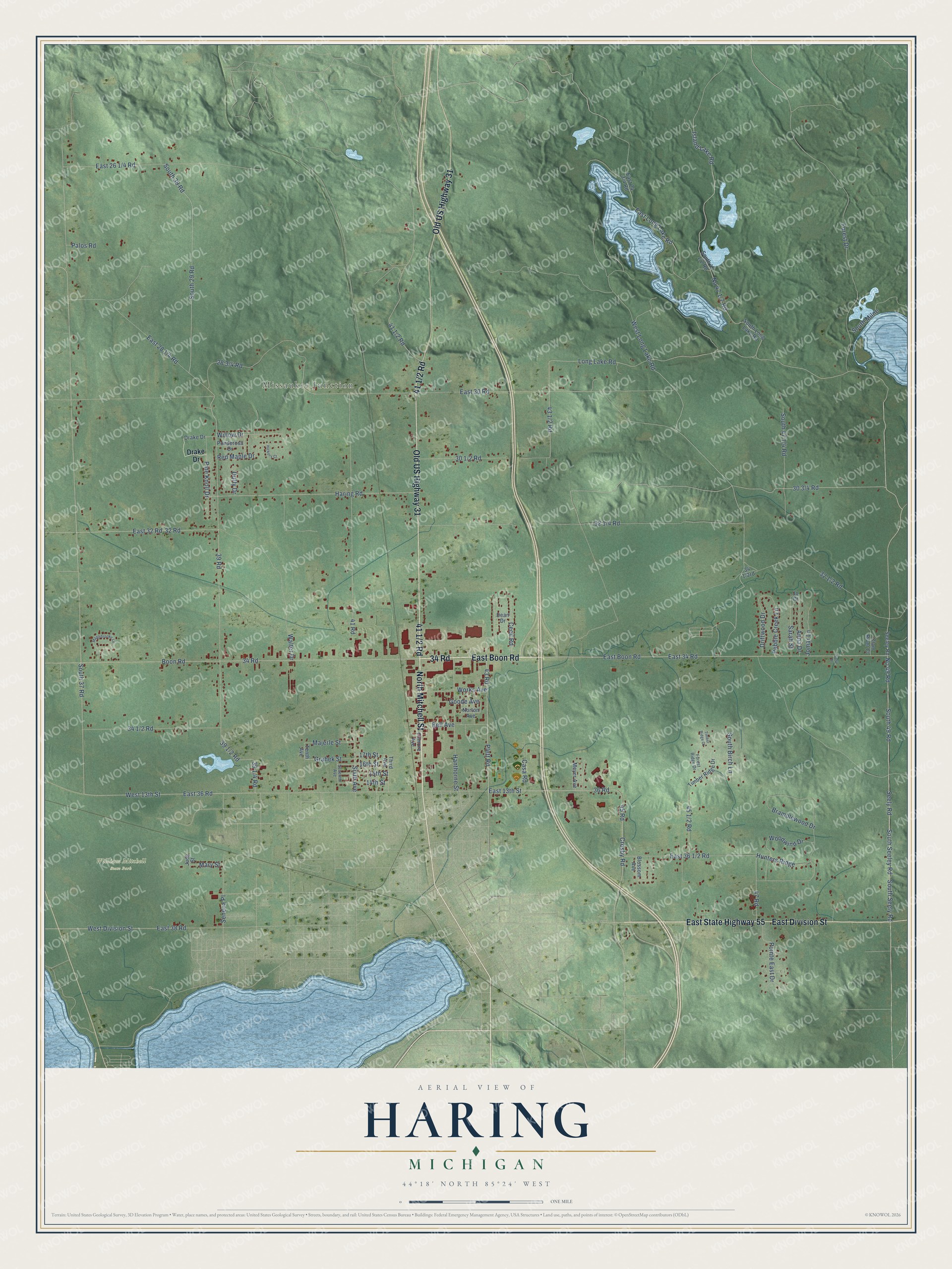
This beautifully detailed map of Haring, Michigan was created in 2026 using aerial imagery combined with modern topographical, census, street and landmark data. It's a modern aerial view of Haring in Wexford County, Michigan, that combines modern data with a vintage aesthetic. The roads feature printed names, and if you look closely you can find your exact house accurately shown in its correct location.
Explore an aerial view of Haring, Michigan
On this map you'll find Missaukee Junction, William Mitchell State Park, 34 Road, East Boon Road, North Mitchell Street, East Division Street, 41 1/2 Road, East State Highway 55, Old US Highway 31, Plett Road, Cecil Road, 30 3/4 Road, and more. Each red shape is a building, so zoom in on the preview and look for yours.
Haring has a story worth telling. The Traverse Region puts it this way: "Haring was organized by the legislature in 1873, and embraced the territory of Township 22 north, of Range 9 west."
The Census Bureau counted 3,556 people here in 2020.
Take a closer look at the Haring map
Names on this map
These names are printed on this map.
Places: Missaukee Junction and William Mitchell State Park.
Streets and roads: 34 Road, East Boon Road, North Mitchell Street, East Division Street, East State Highway 55, Old US Highway 31, Plett Road, Cecil Road, Seely Road, South 49 Road, Boon Road, 39 Road.
More street names, A to Z
14th Street, 15th Street, 16th Street, 17th Street, 32 Road, 36 Road, 41 Road, 43 Road, 45 Road, 47 Road, Anna Drive, Bell Avenue, Blossom Avenue, Bramblewood Drive, Casa Road, Clam River Court, Crosby Road, Dean Drive, Drake Drive, Driftwood Drive, Duffy Drive, East 13th Street, East 30 Road, East 32 Road, East 34 Road, East 36 Road, East 38 Road, East Long Lake Road, Filmore Avenue, Forest Drive, Forest Ridge Drive, Goode Avenue, Grahek Street, Hanthorne Street, Haring Road, Hickory Court, Hunters Ridge, Island Lake Road, Jo Court, Jomar Lane, Judy Street, Long Lake Road, Majerle Street, Maplebrooke Lane, Mary Street, Meyer Avenue, No 49 Road, Norton Avenue, Palos Road, Pebble Creek Lane, Pine Knoll Drive, Pointe East Drive, Ponderosa Drive, Red Maple Drive, Sarah Street, Seeley Road, Seneca Place, Seventh Avenue, Sixth Avenue, South 29 Road, South 37 Road, South 39 Road, South Birch Lane, South Long Lake Road, South Milne, South Seeley Road, South Seely Road, Susu Drive, Tenth Avenue, Third Avenue, Timber Ridge Court, Timber Ridge Drive, Walter Drive, West 13th Street, West Division Street, West Long Lake Road, Willow Drive, Woodwind Drive, Works Avenue.
Created by KNOWOL in 2026. The buildings are small red shapes, the roads carry their printed names, and shaded relief shows the shape of the land. The title panel reads "AERIAL VIEW OF HARING, MICHIGAN" with 44°18' NORTH 85°24' WEST.
It looks right in a kitchen, an office or a den, and it's a gift for anyone who grew up in Haring or moved away. Open the preview and find your street. See sizes and frames for the Haring map.