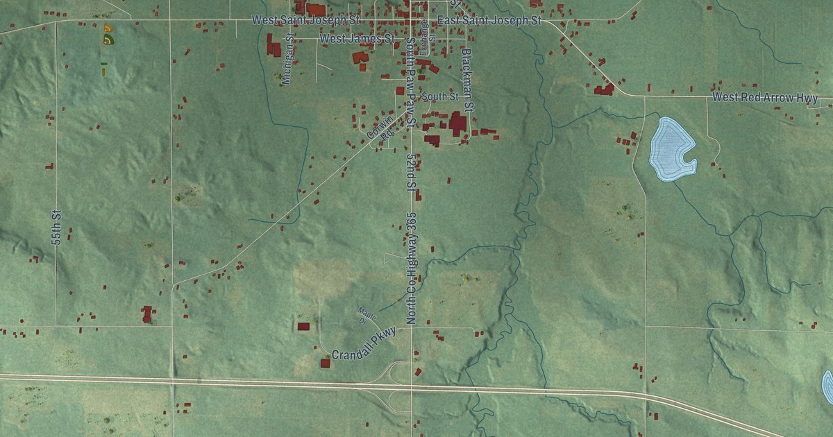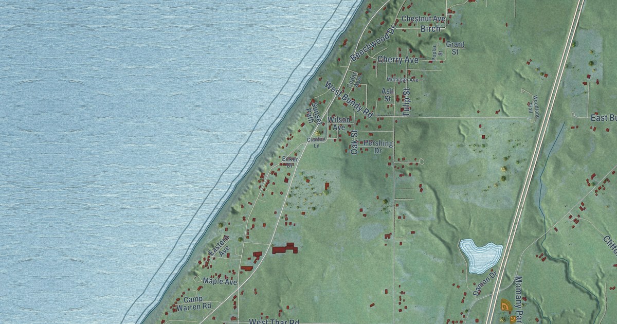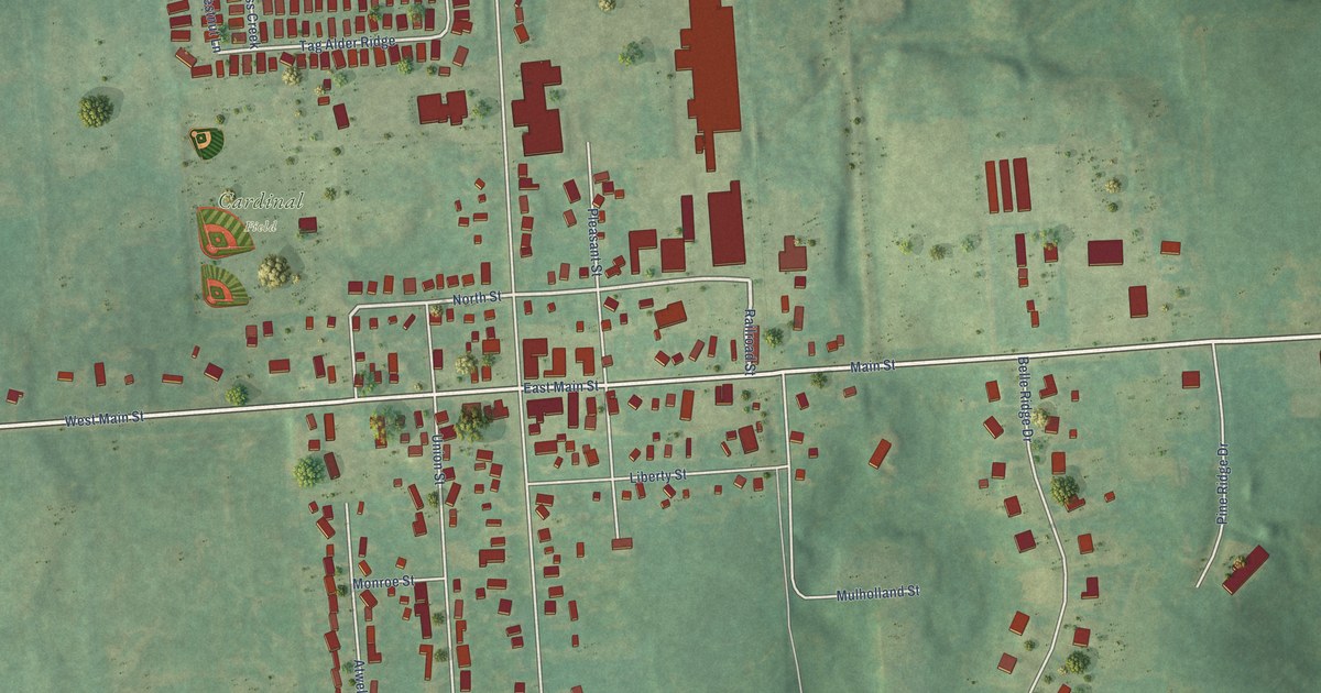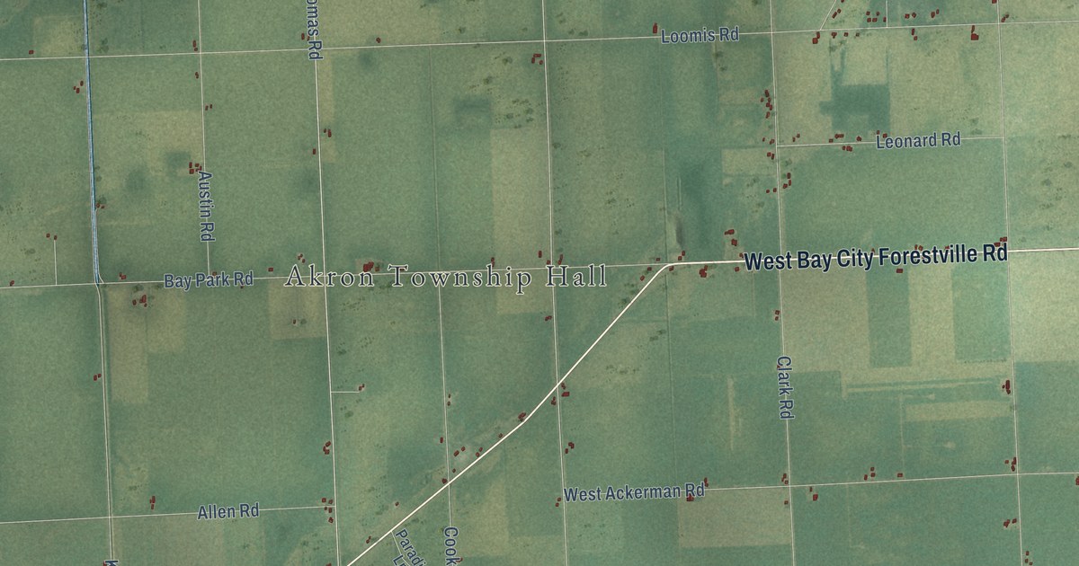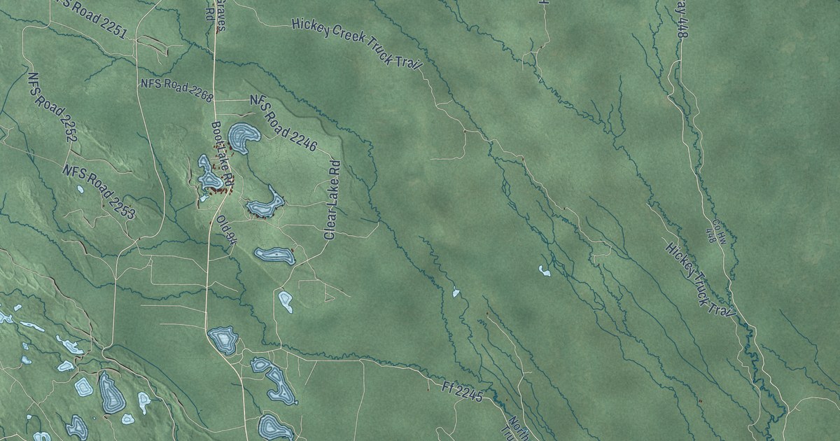
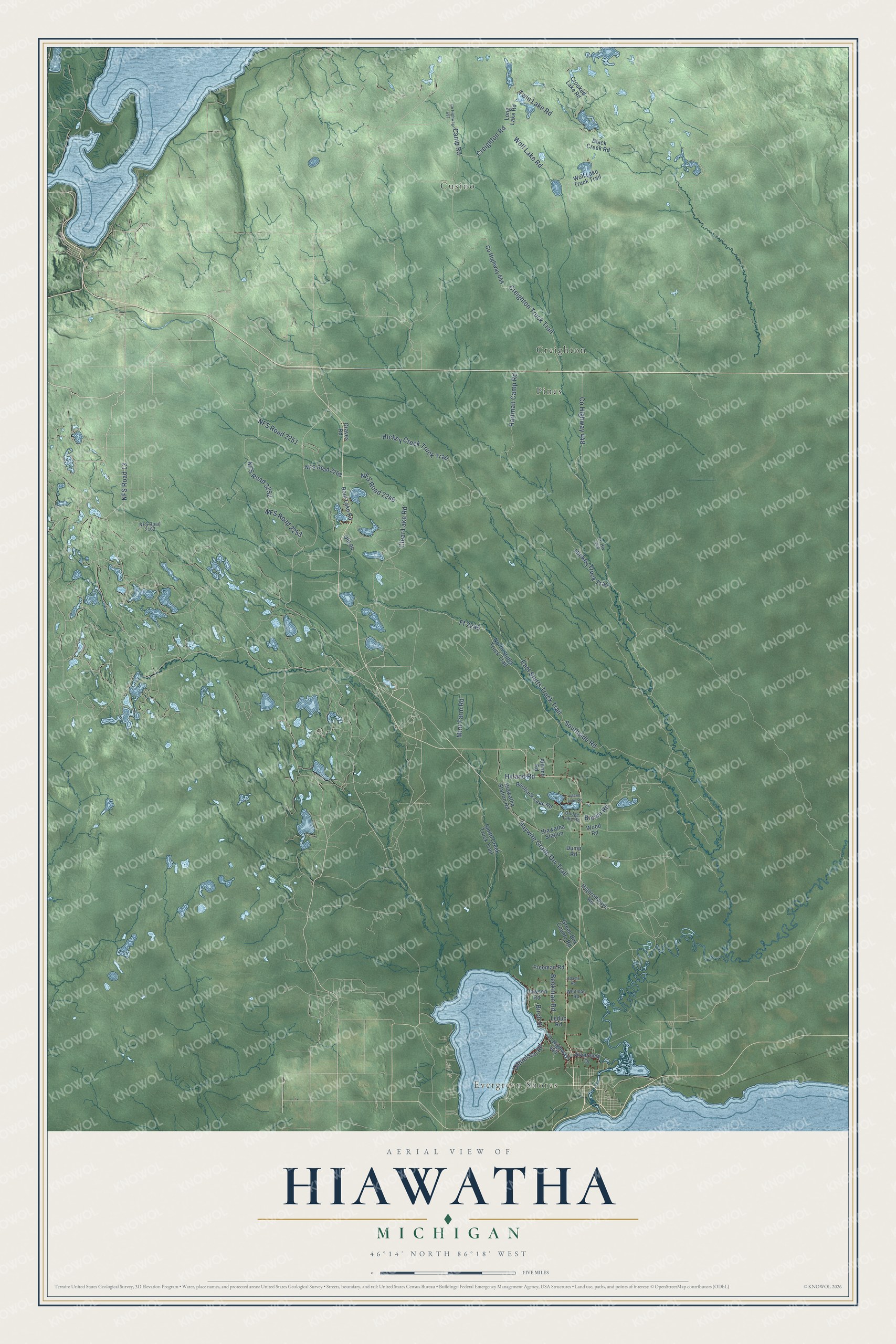
This beautifully detailed map of Hiawatha, Michigan was created in 2026 using aerial imagery combined with modern topographical, census, street and landmark data. It's a modern aerial view of Hiawatha in Schoolcraft County, Michigan, that combines modern data with a vintage aesthetic. The roads feature printed names, and if you look closely you can find your exact house accurately shown in its correct location.
Explore an aerial view of Hiawatha, Michigan
On this map you'll find Evergreen Shores, Creighton, Cusino, Pines, Haywire Grade Orv Trail, NFS Road 2252, NFS Road 2251, NFS Road 13, Birch Street, Co Highway 448, Creighton Truck Trail, Hickey Creek Truck Trail, and more. Each red shape is a building, so zoom in on the preview and look for yours.
Every town has a first chapter, and Hiawatha is no exception. The record at arcgis.com puts it this way: "Near this site, on May 15, 1832, the Right Reverend Frederic Baraga, then a young Catholic missionary to the Indians, established and blessed his first church."
The Census Bureau counted 1,305 people here in 2020.
Take a closer look at the Hiawatha map
Names on this map
These names are printed on this map.
Places: Evergreen Shores, Creighton, Cusino and Pines.
Streets and roads: Haywire Grade Orv Trail, NFS Road 2252, NFS Road 2251, NFS Road 13, Birch Street, County Highway 448, Creighton Truck Trail, Hickey Creek Truck Trail, East Stutts Truck Trail, Ff 2245, Creighton Road, Clear Lake Road.
More street names, A to Z
Adams Road, Aldrich Road, Beckman Road, Black Creek Road, Bootjack Lake Road, Boot Lake Road, Brown Road, Camp Road, Co Hw 448, County Highway 440, County Highway 454, County Highway 697, Crooked Lake Road, Danielson Road, Dawson Road, Dodge Lake Road, Dump Road, Freeman Road, Graves Road, Green Box County Road, Hartman Camp Road, Hiawatha Station, Hiawatha Station Road, Hickey Truck Trail, Highrollways Road, Hyland Road, Island Lake Road, Leduc Road, Long Lake Road, Mint Farm Road, NFS Road 2162, NFS Road 2246, NFS Road 2253, NFS Road 2268, North Stutts Truck Trail, Old 94, Riverview Drive, Smith Creek Truck Trail, Southside Road, Twin Lake Road, Whitman Road, Wolf Lake Road, Wolf Lake Truck Trail, Wood Road.
Created by KNOWOL in 2026. The buildings are small red shapes, the roads carry their printed names, and shaded relief shows the shape of the land. The title panel reads "AERIAL VIEW OF HIAWATHA, MICHIGAN" with 46°14' NORTH 86°18' WEST.
Hang it in the hallway, the office or the cabin, or give it to someone who left Hiawatha and still calls it home. Open the preview and look for a street you know. See sizes and frames for the Hiawatha map.