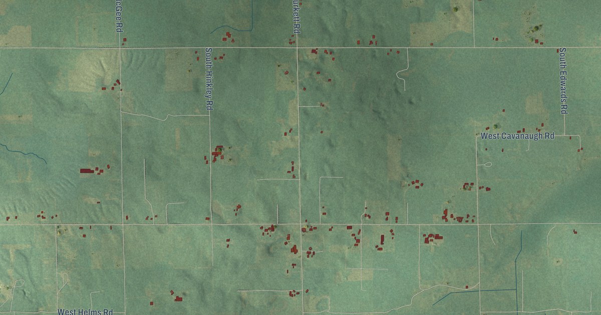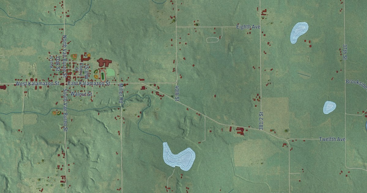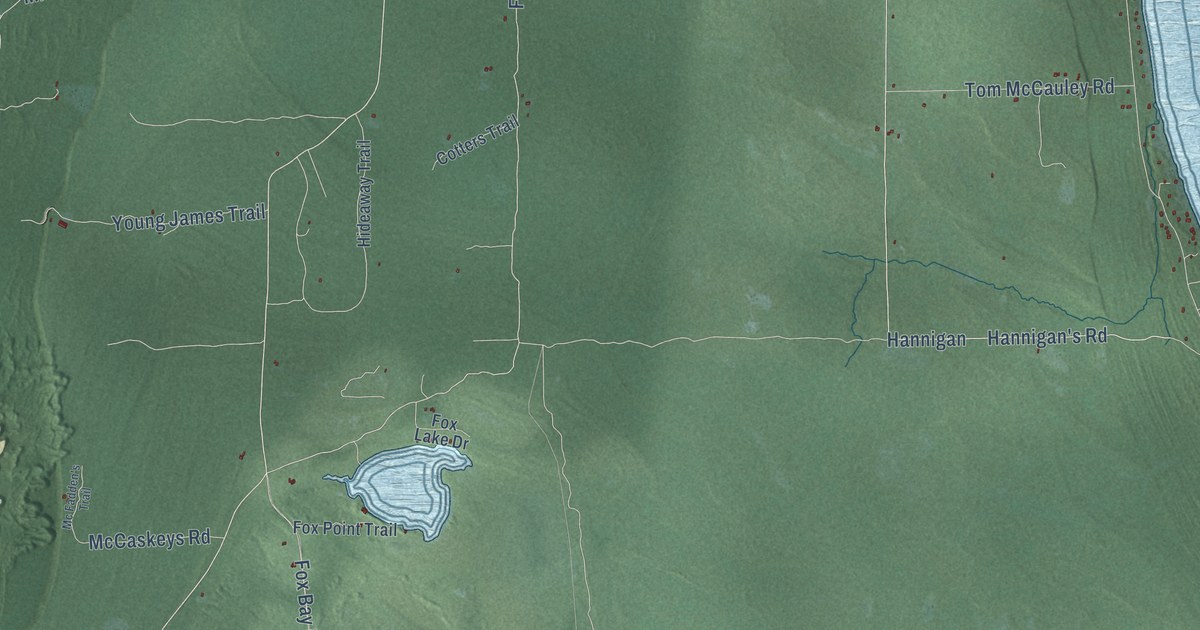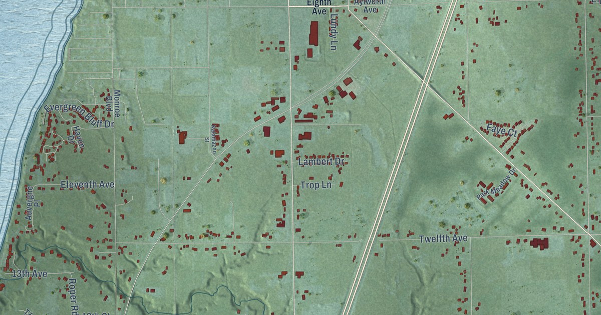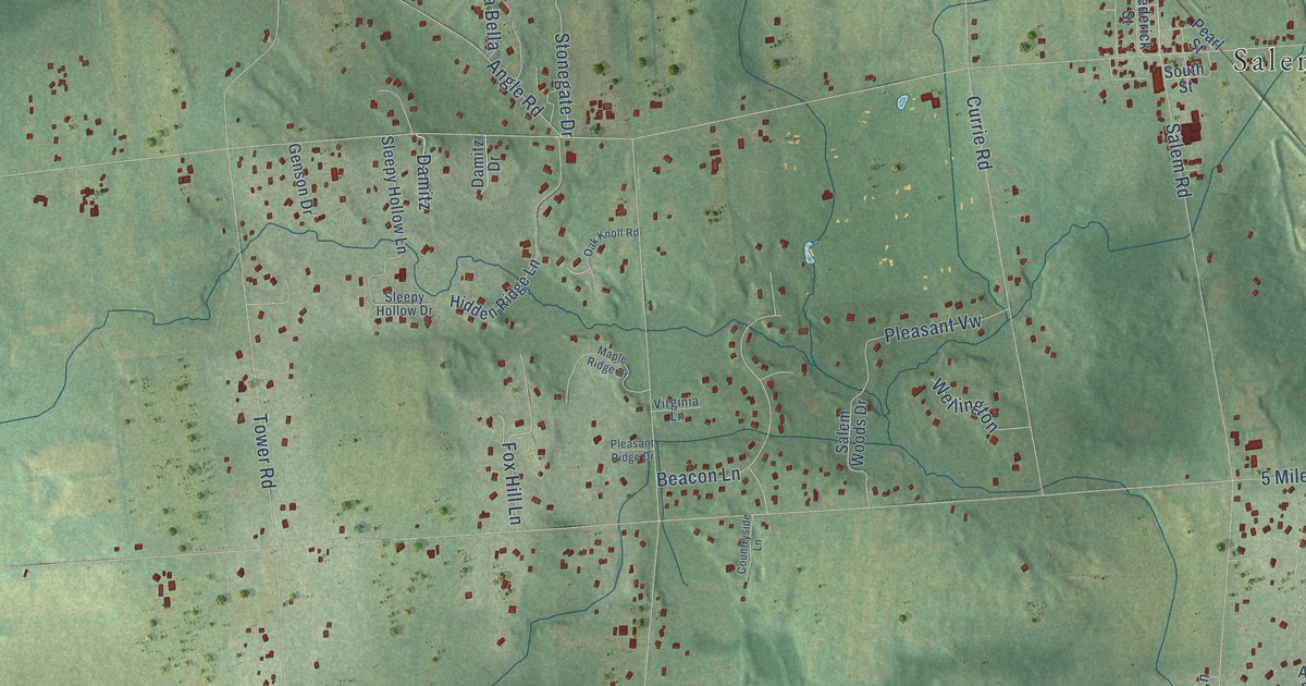
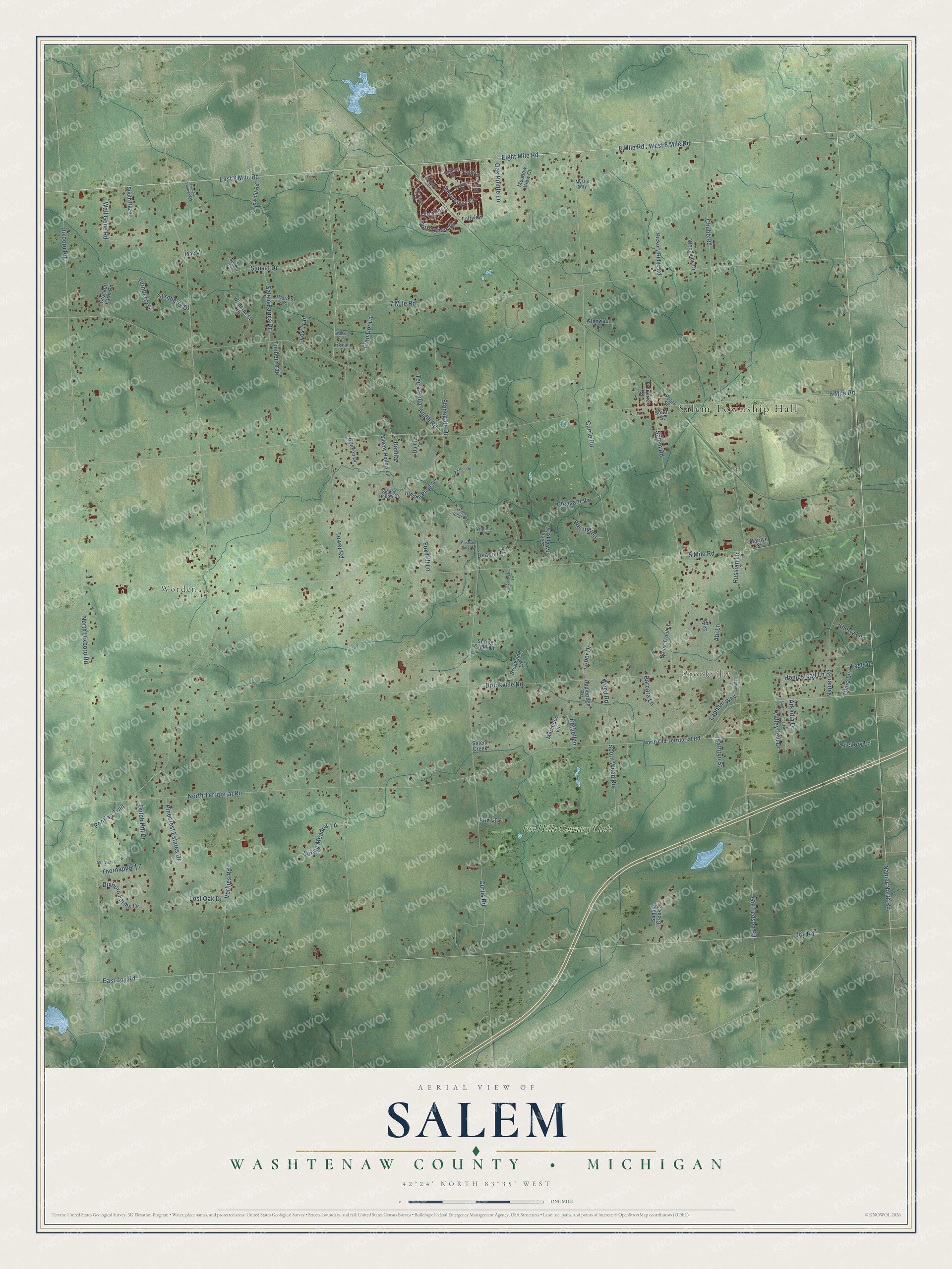
This beautifully detailed map of Salem, Michigan was created in 2026 using aerial imagery combined with modern topographical, census, street and landmark data. It's a modern aerial view of Salem in Washtenaw County, Michigan, that combines modern data with a vintage aesthetic. The roads feature printed names, and if you look closely you can find your exact house accurately shown in its correct location.
Explore an aerial view of Salem, Michigan
On this map you'll find Salem Township Hall, Worden, Brookville, Fox Hills Country Club, Napier Road, West 8 Mile Road, Eight Mile Road, East 8 Mile Road, North Territorial Road, Tower Road, Napier North Road, 8 Mile Road, and more. Each red shape is a building, so zoom in on the preview and look for yours.
Every town has a first chapter, and Salem is no exception. The History of Washtenaw County puts it this way: "The First Wesleyan Methodist Church of Salem was organized in a school-house on section 33, in 1841, with David Norton as class-leader, and Joseph Lapham, first steward. The first annual conference was held in that school-house, where also was formed the first Church discipline."
The Census Bureau counted 7,018 people here in 2020.
Take a closer look at the Salem map
Names on this map
These names are printed on this map.
Places: Salem Township Hall, Worden, Brookville and Fox Hills Country Club.
Streets and roads: Napier Road, West 8 Mile Road, Eight Mile Road, East 8 Mile Road, North Territorial Road, Tower Road, Napier North Road, 8 Mile Road, Dixboro Road, Nottingham Drive, 7 Mile Road, 6 Mile Road.
More street names, A to Z
5 Mile Road, Abi Court, Abi Lane, Alta Vista Place, Angle Road, Appleridge Road, Arkadia Drive, Barbara Lane, Barclay Drive, Beacon Lane, Bethellen, Bloomsbury Circle, Brookside Lane, Brook Trout Lane, Brookville Road, Charing Cross, Chubb Road, Churchill Street, Clara Lane, Countryside Lane, Crockett Farm Road, Currie Road, Curtis Road, Damitz, Damitz Drive, Dixboro Farms Drive, Dutch Hill Drive, East Joy Road, Eaton Drive, Etch Court, Fairview, Fox Hill Lane, Fox Lane, Fox Trail, Fran Dor Lane, Frederick Street, Genson Drive, Glenwood Lane, Gotfredson Road, Griswold Road, Harvest Court, Hathaway Drive, Hickory Lane, Hickory Ridge Road, Hidden Ridge Lane, Homestead Lane, Joy Road, Kathryn Street, Krisdalin Court, Lapham Court, Lapham Way, Last Drive, Loper Drive, Lost Oak Drive, Mae Lane, Maple Ridge Drive, Marilyn Street, Meadow View Court, Mercedes Lane, Mystic Way, Norfolk Drive, North Dixboro Road, North Old Territorial Road, Oak Knoll Road, Oak Pointe Lane, Pearl Street, Pinecrest Estates Drive, Pleasant Ridge Drive, Pleasant Vw, Pontiac Trail, Russian Lane, Saddle Creek Court, Salem Creek, Salem Farms Drive, Salem Road, Salem Woods Drive, Sherry Lane, Sleepy Hollow Drive, Sleepy Hollow Lane, South Hazel, South Homestead, South Street, South Weed Road, Spring Creek Lane, Spring Meadow Lane, Stonegate Drive, Sunset Court, Sunset Drive, Terra Bella, Thornapple Lane, Timber Trail, Turnberry Court, Turnberry Drive, Tuscany Valley Way, Valleyfield Drive, Virginia Lane, Vorhies Road, Walker Run, Wall Gene Road, Weed Road, Wellington, Wilderness Drive, Woodside Drive.
Created by KNOWOL in 2026. The buildings are small red shapes, the roads carry their printed names, and shaded relief shows the shape of the land. The title panel reads "AERIAL VIEW OF SALEM, WASHTENAW COUNTY • MICHIGAN" with 42°24' NORTH 83°35' WEST.
Hang it in the hallway, the office or the cabin, or give it to someone who left Salem and still calls it home. Open the preview and look for a street you know. See sizes and frames for the Salem, Washtenaw County map.