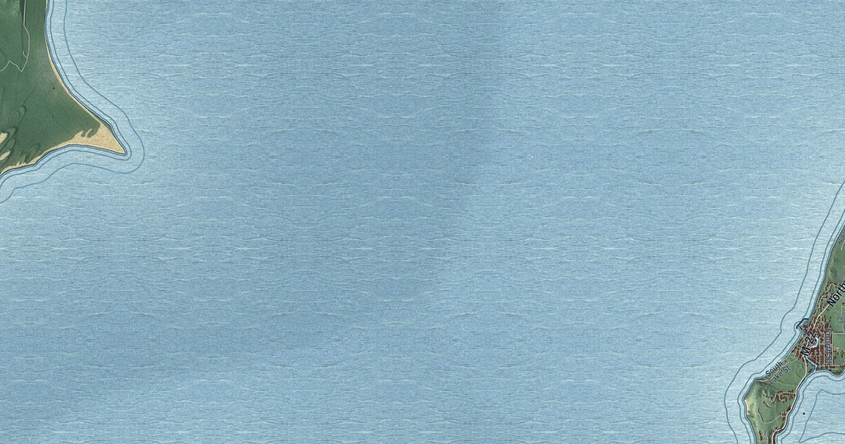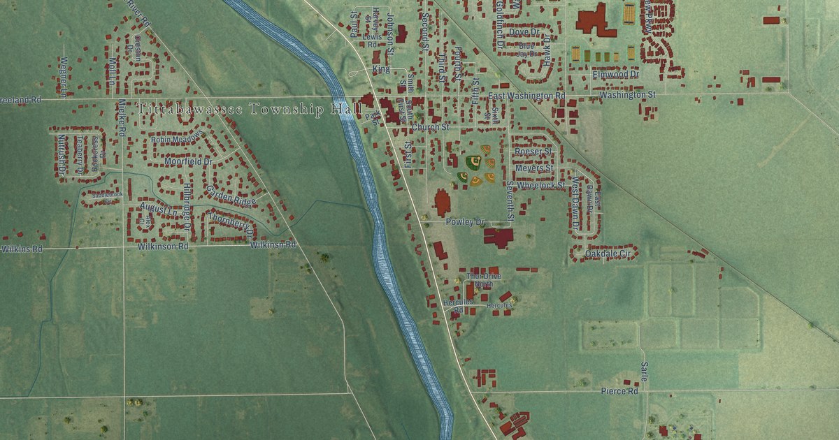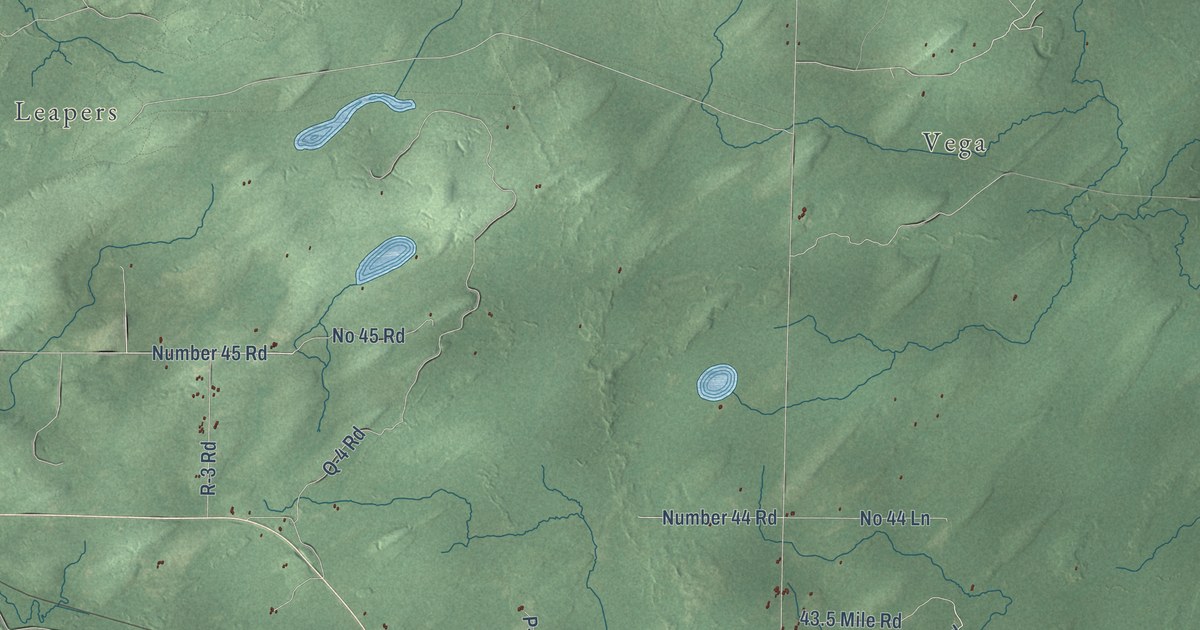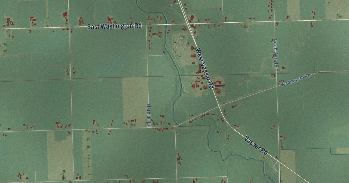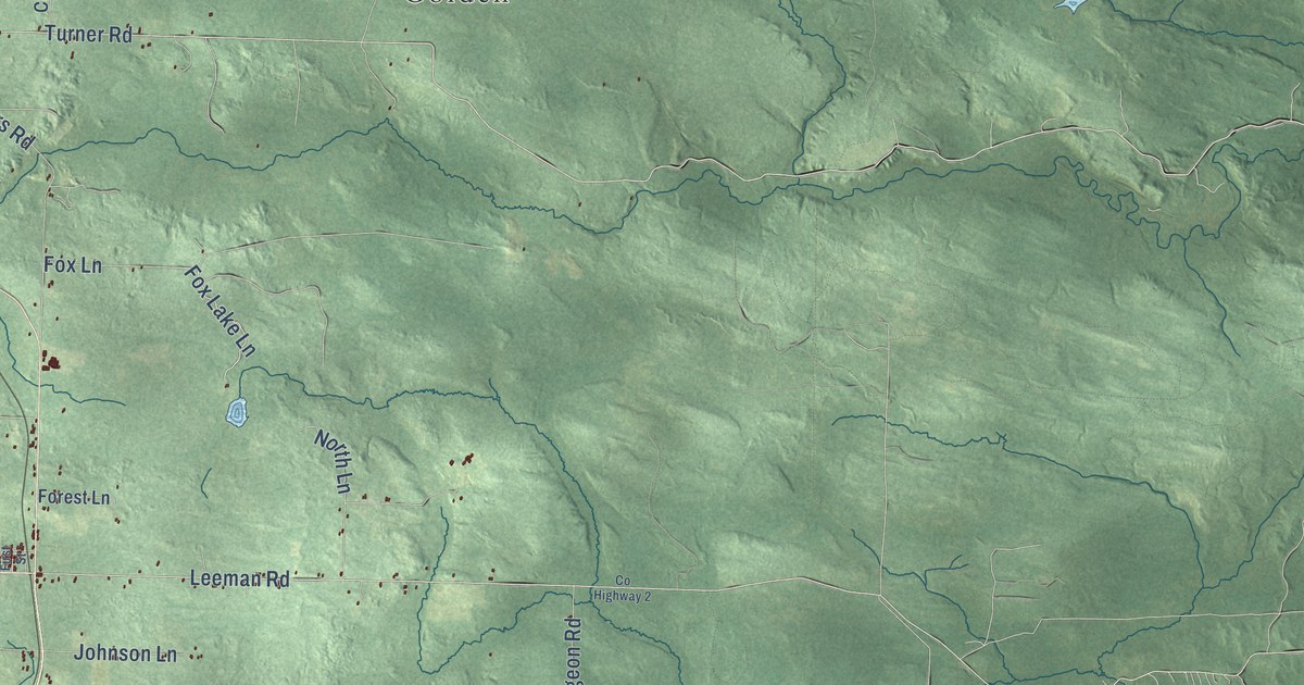
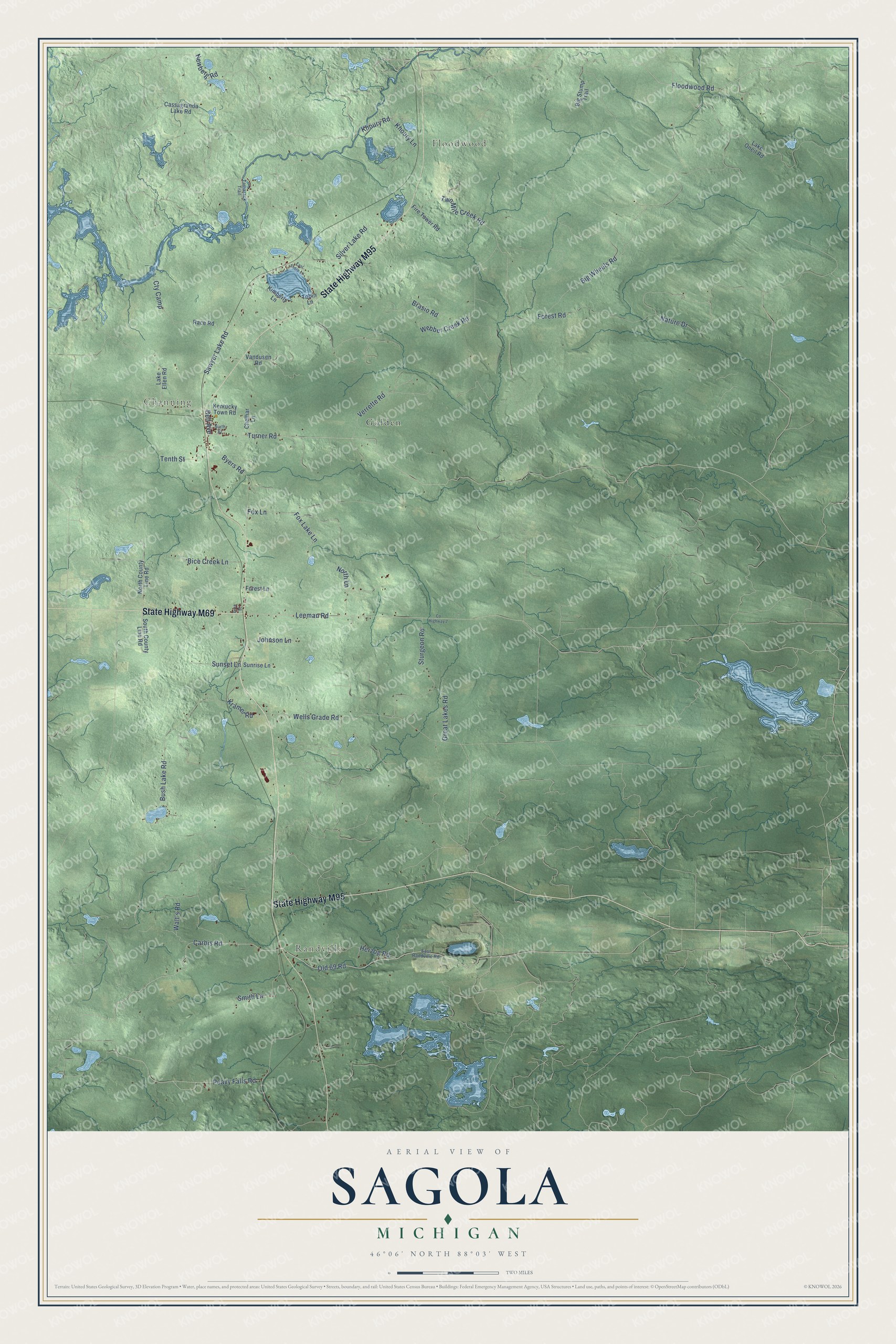
This beautifully detailed map of Sagola, Michigan was created in 2026 using aerial imagery combined with modern topographical, census, street and landmark data. It's a modern aerial view of Sagola in Dickinson County, Michigan, that combines modern data with a vintage aesthetic. The roads feature printed names, and if you look closely you can find your exact house accurately shown in its correct location.
Explore an aerial view of Sagola, Michigan
On this map you'll find Floodwood, Randville, Channing, Golden, State Highway M95, State Highway M69, Old 69 Road, Carbis Road, Floodwood Road, Turner Road, North Lane, Peavy Falls Road, and more. Each red shape is a building, so zoom in on the preview and look for yours.
Every town has a first chapter, and Sagola is no exception. The History of the Northern Peninsula of Michigan puts it this way: "Sagola is a village about twenty miles north of Iron Mountain, on the Chicago, Milwaukee & St. Paul Railway. It is not a mining town, but a thriving lumber camp, whose chief industry comprises the sawmill and planing-mill conducted by the Sagola Lumber Company."
The Census Bureau counted 1,066 people here in 2020.
Take a closer look at the Sagola map
Names on this map
These names are printed on this map.
Places: Floodwood, Randville, Channing and Golden.
Streets and roads: State Highway M95, State Highway M69, Old 69 Road, Carbis Road, Floodwood Road, Turner Road, North Lane, Peavy Falls Road, Forest Road, Newberg Road, Big Wheels Road, Sawyer Lake Road.
More street names, A to Z
Bell Avenue, Bice Creek Lane, Big Stump Trail, Brasio Road, Bush Lake Road, Byers Road, Cassagranda Lake Road, Chelhar Lane, County Highway 2, Cty Camp, East Randville Road, East Shore Lane, Fire Tower Road, First Street, Forest Lane, Fox Lake Lane, Fox Lane, Great Lakes Road, Herzog Road, Johnson Lane, Kentucky Town Road, Khoury Lane, Khoury Road, Kimberly Lane, Kramer Road, Lake Ellen Road, Lake Oneil Road, Leeman Road, Nature Drive, North County Line Road, Race Road, Silver Lake Road, Sixth Street, Smith Lane, South County Line Road, Sturgeon Road, Sunrise Lane, Sunset Lane, Tamarack Trail, Tenth Street, Tobin Lane, Two Mile Creek Road, Vandusen Road, Verrette Road, Walt's Road, Webber Creek Road, Wells Grade Road.
Created by KNOWOL in 2026. The buildings are small red shapes, the roads carry their printed names, and shaded relief shows the shape of the land. The title panel reads "AERIAL VIEW OF SAGOLA, MICHIGAN" with 46°06' NORTH 88°03' WEST.
Hang it in the hallway, the office or the cabin, or give it to someone who left Sagola and still calls it home. Open the preview and look for a street you know. See sizes and frames for the Sagola map.