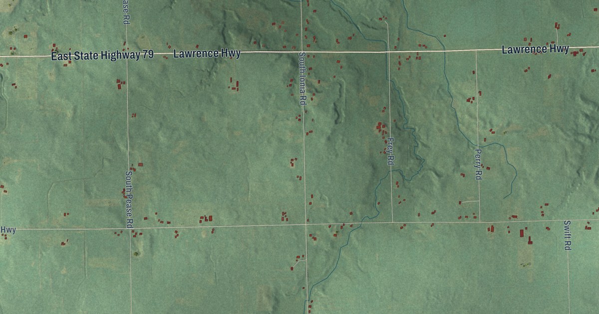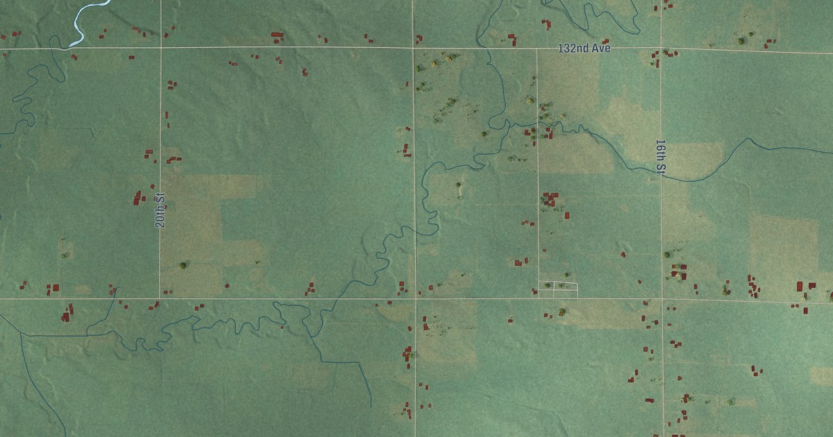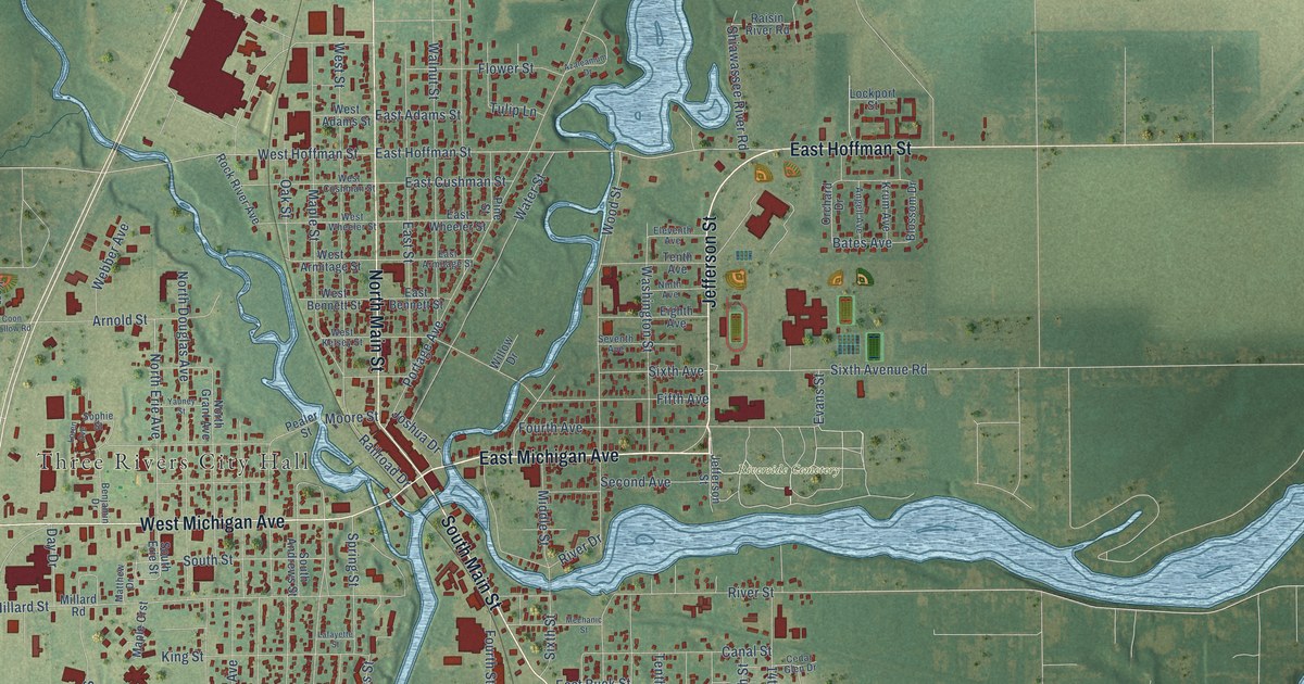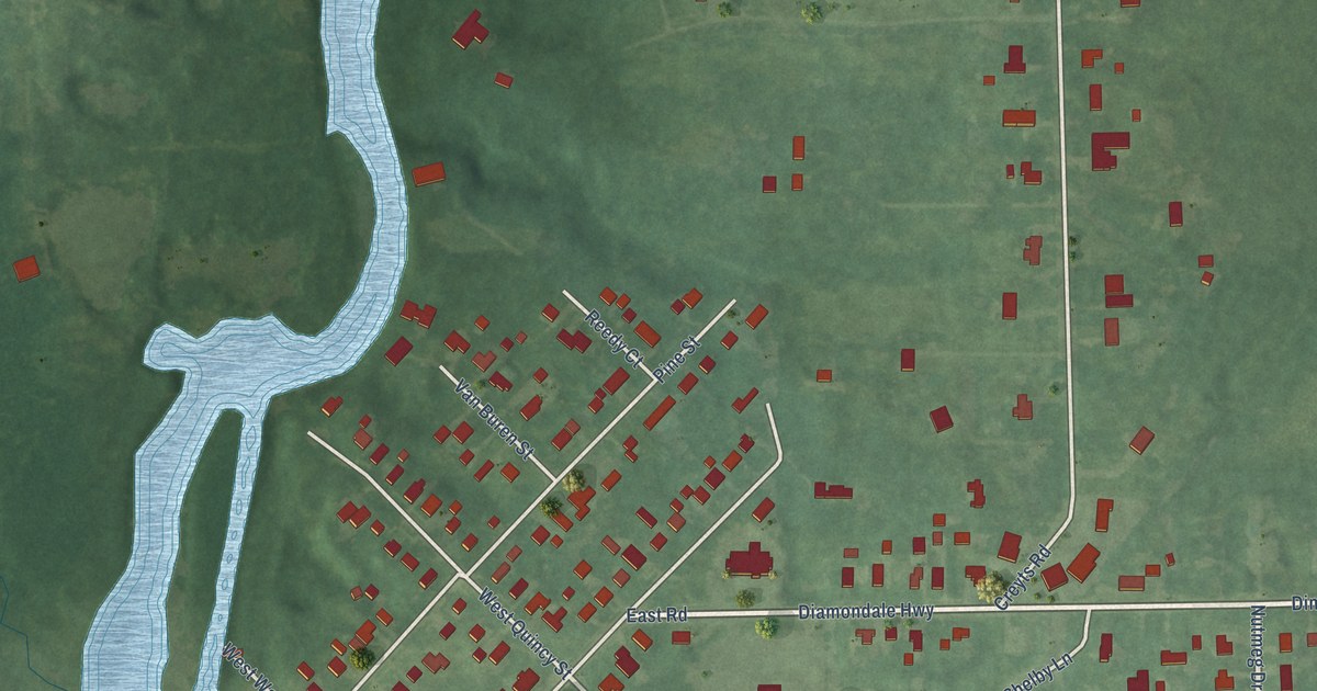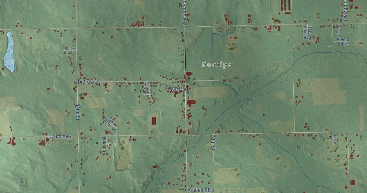
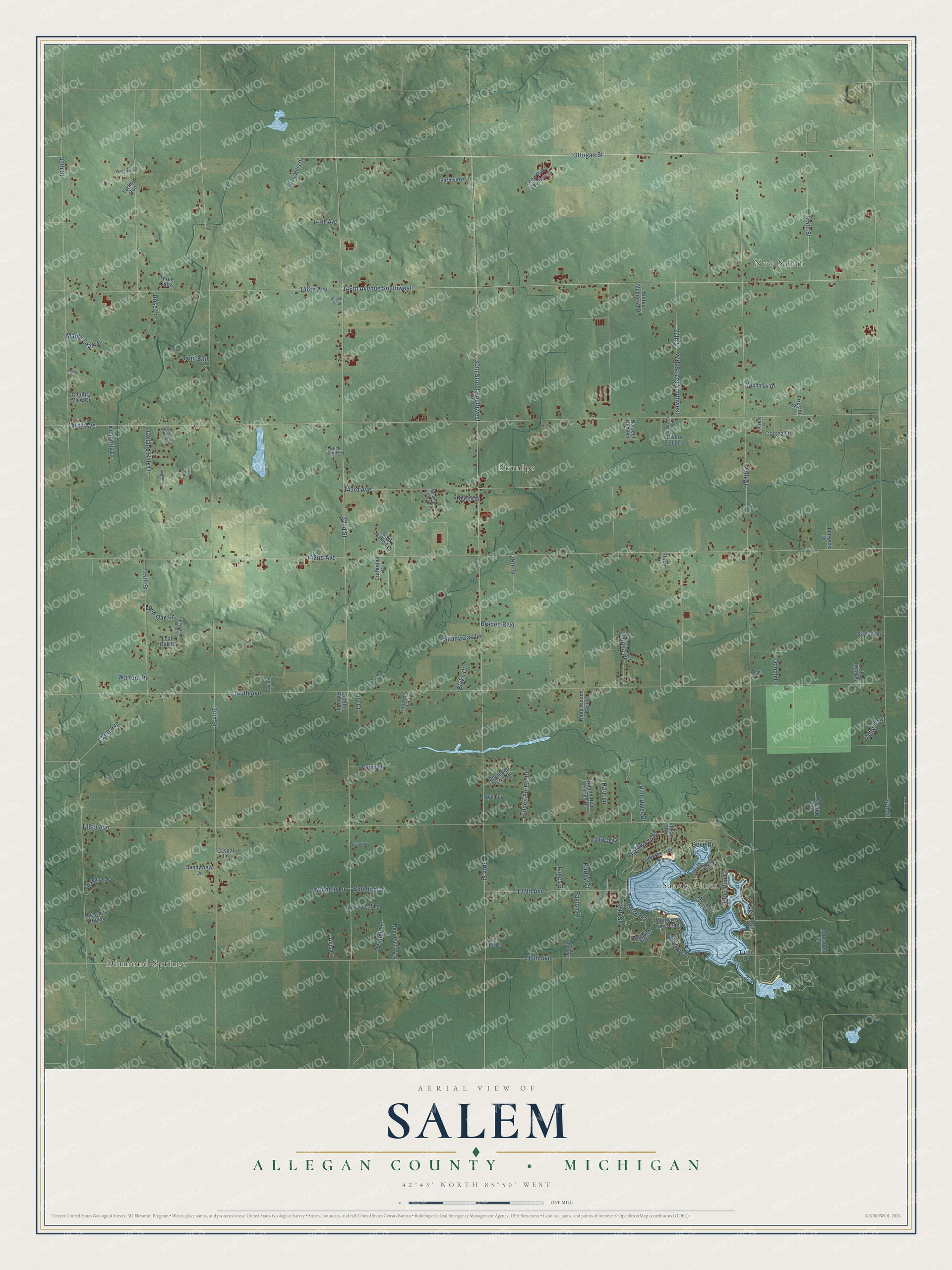
This beautifully detailed map of Salem, Michigan was created in 2026 using aerial imagery combined with modern topographical, census, street and landmark data. It's a modern aerial view of Salem in Allegan County, Michigan, that combines modern data with a vintage aesthetic. The roads feature printed names, and if you look closely you can find your exact house accurately shown in its correct location.
Explore an aerial view of Salem, Michigan
On this map you'll find Sandy Pines, New Salem, Burnips, Diamond Springs, Ottogan Street, 27th Street, 32nd Street, 138th Avenue, 146th Avenue, 144th Avenue, 142nd Avenue, 140th Avenue, and more. Each red shape is a building, so zoom in on the preview and look for yours.
Every town has a first chapter, and Salem is no exception. The History of Allegan and Barry Counties puts it this way: "The Society of the United Brethren organized in Salem in 1856, and the earliest meetings were held in one of the school-houses built prior to that time."
The Census Bureau counted 5,156 people here in 2020.
Take a closer look at the Salem map
Names on this map
These names are printed on this map.
Places: Sandy Pines, New Salem, Burnips and Diamond Springs.
Streets and roads: Ottogan Street, 27th Street, 32nd Street, 138th Avenue, 146th Avenue, 144th Avenue, 142nd Avenue, 140th Avenue, 34th Street, 26th Street, 30th Street, 136th Avenue.
More street names, A to Z
24th Street, 25th Street, 27th Street Southwest, 28th Street, 29th Street, 30th Street Southwest, 35th Street, 36th Street, 137th Avenue, 139th Avenue, 143rd Avenue, 146th Avenue Southwest, 147th Avenue, Avis Lane, Black Trail, Blake Court, Bluebird Lane, Braden Boulevard, Buck Trail Lane, Casual Lane, Cortez Drive, Cottontail Court, Country Lane, Country View Drive, Courtney Lane, Cove Drive, Coyote Lane, Deep Woods Bayou, Deer Path Way, Deer Run Court, Deer Trail, Denali Drive, Fairway Drive, Farmview Lane, Fawn Drive, Fenwick Drive, Four Oaks Drive, Friesian Court, Gateway, Hare Lane, Harley Court, Harvest Haven, Harvest Heaven, Hidden Forest Drive, Indian Trail, Iroquois Trail, Jack Rabbit Court, James Street, Kimberly Drive, Kyle Lane, Labrador Lane, Lily Court, Loan Oak Court, Loan Oak Path, Loch Ness Lane, Loew Hills Drive, Loew Road Southwest, Lone Oak Lane, Longview Court, Maple Leaf Lane, Meadow Creek Lane, Michele Lane, Mohawk Trail, Monterey Lake Trail, Newell Street, Nicholas Drive, Oakland Hills Drive, Oak Leaf Lane, Ottawa Trail, Otuna Drive, Payton Place, Pepper Lane, Pine River Drive, Pleasant Ridge, Rabbit River Farms Drive, Rabbit River Lane, Raylynn Drive, Rivers Edge, Rose Lane, Rustic Lane, Sandyview Drive, Secluded Acres Drive, Serenity Now, Shady Oak Lane, Shawnee Trail, Skyline Road, Starry Lane, Summer Creek Drive, Sunset Trail, Sutter Memorial Drive, Three Oaks, Trail End, Turkey Run, Turtle Drive, Valkyrie Lane, Walters Drive, Weber Lane, Wilderness Lane, Winding Way, Woodview, Zellman Court.
Created by KNOWOL in 2026. The buildings are small red shapes, the roads carry their printed names, and shaded relief shows the shape of the land. The title panel reads "AERIAL VIEW OF SALEM, ALLEGAN COUNTY • MICHIGAN" with 42°43' NORTH 85°50' WEST.
Hang it in the hallway, the office or the cabin, or give it to someone who left Salem and still calls it home. Open the preview and look for a street you know. See sizes and frames for the Salem, Allegan County map.