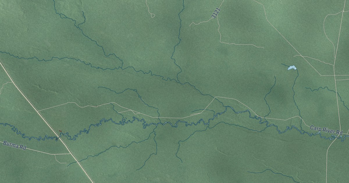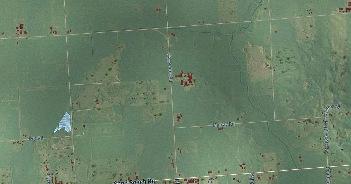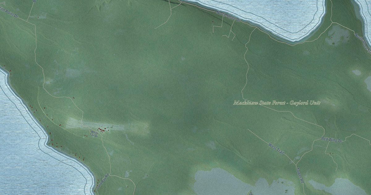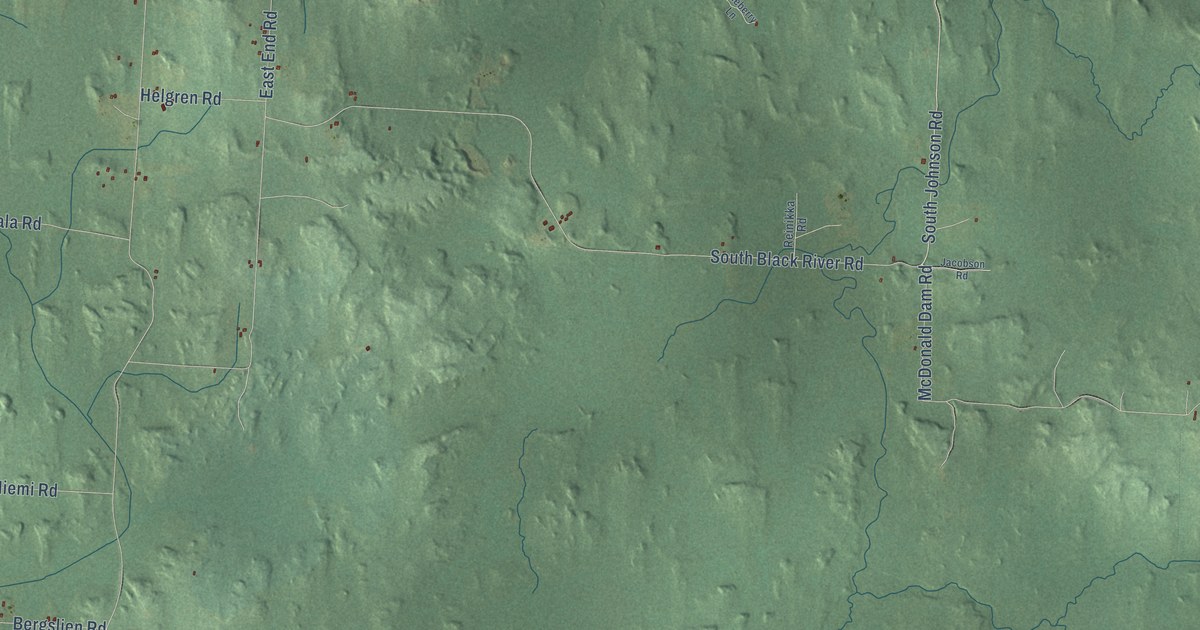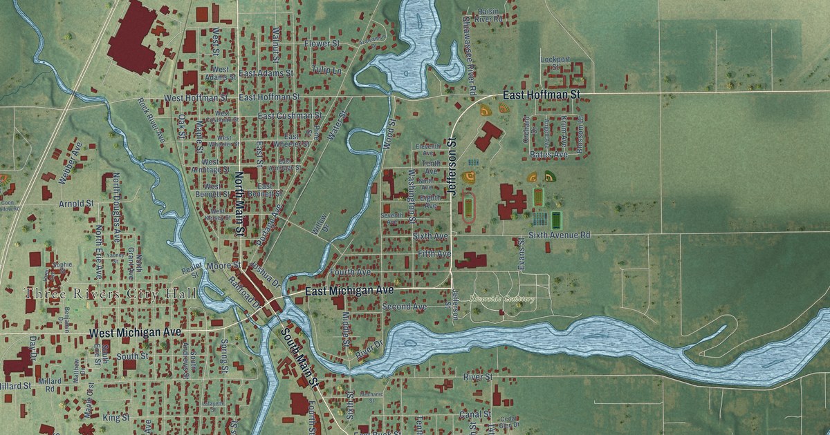
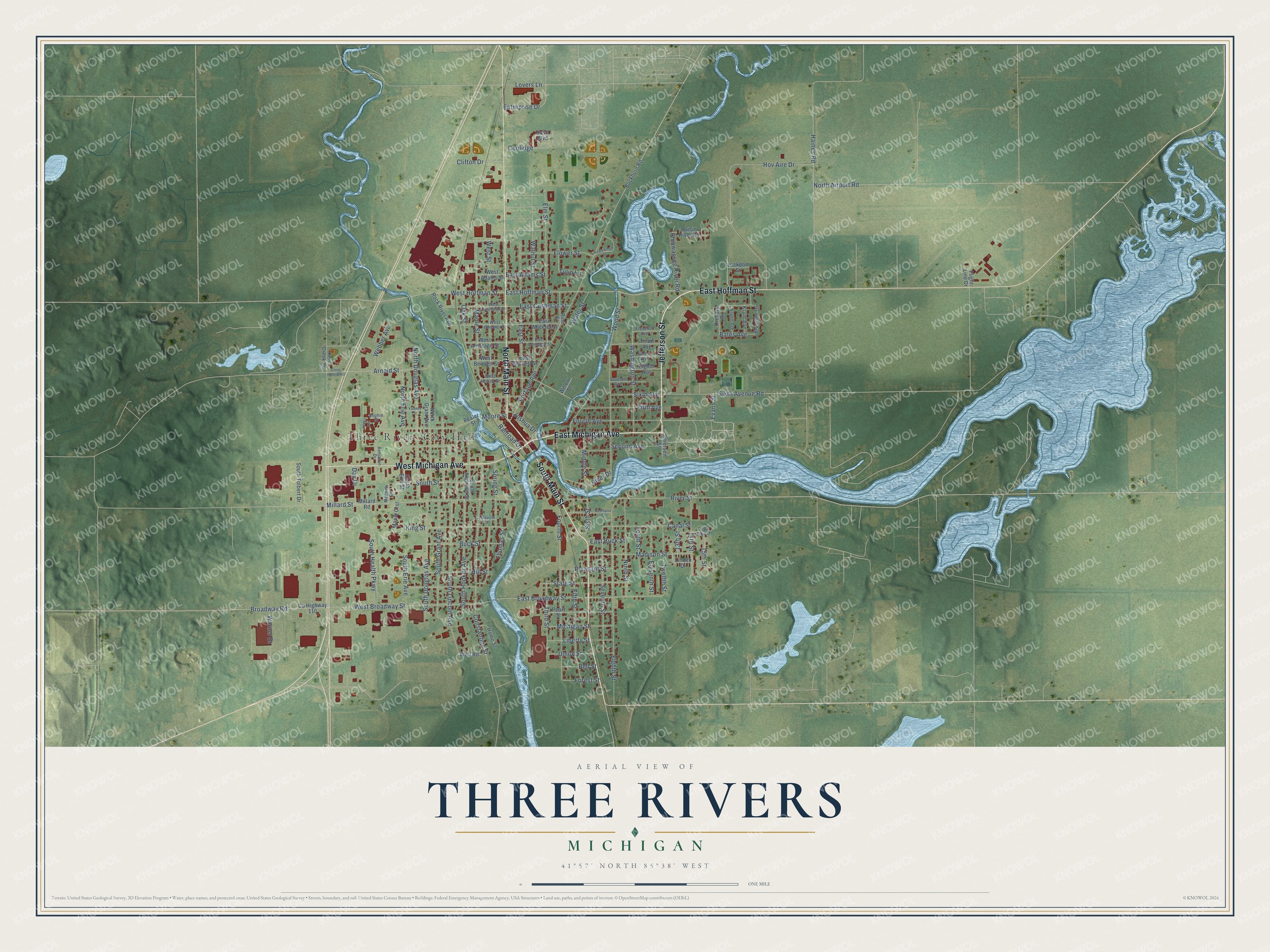
This beautifully detailed map of Three Rivers, Michigan was created in 2026 using aerial imagery combined with modern topographical, census, street and landmark data. It's a modern aerial view of Three Rivers in St. Joseph County, Michigan, that combines modern data with a vintage aesthetic. The roads feature printed names, and if you look closely you can find your exact house accurately shown in its correct location.
Explore an aerial view of Three Rivers, Michigan
On this map you'll find Three Rivers City Hall, Riverside Cemetery, East Michigan Avenue, Jefferson Street, South Main Street, North Main Street, West Michigan Avenue, East Hoffman Street, Evans Street, West Hoffman Street, South Street, Sixth Avenue Road, and more. Each red shape is a building, so zoom in on the preview and look for yours.
Here is a piece of Three Rivers history, in the words of the record. The History of St. Joseph County puts it this way: "Mishael Beadle built the first frame house on the west side of the Rocky in 1832, and a frame store-house near the present bridge in Three Rivers, on the St. Joseph, in 1833."
Three Rivers is a city in St. Joseph County. The Census Bureau counted 7,973 people here in 2020.
Take a closer look at the Three Rivers map
Names on this map
These names are printed on this map.
Places: Three Rivers City Hall and Riverside Cemetery.
Streets and roads: East Michigan Avenue, Jefferson Street, South Main Street, North Main Street, West Michigan Avenue, East Hoffman Street, Evans Street, West Hoffman Street, South Street, Sixth Avenue Road, Constantine Street, Bates Avenue.
More street names, A to Z
13th Street, 14th Street, 15th Street, Angell Avenue, Arnold Street, Azaleamum Drive, Bell Street, Benjamin Drive, Blossom Drive, Broadway Road, Buckhorn Road, Buck Street, Bush Boulevard, Canal Street, Cedar Glen Drive, Clifton Drive, Coolidge, Coon Hollow Road, County Highway 110, Day Drive, East Adams Street, East Armitage Street, East Bennett Street, East Broadway Street, East Buck Street, East Cushman Street, East Street, East Wheeler Street, Eighth Avenue, Eighth Street, Eleventh Avenue, Eleventh Street, Elm Street, Enterprise Drive, Fifth Avenue, Fifth Street, Flight Line Drive, Flower Street, Forest Street, Fourth Avenue, Fourth Street, Haines Road, Hill Street, Home Street, Hov Aire Drive, Joshua Drive, Kerr Creek Road, King Street, Krum Avenue, Lafayette Street, Liberty Street, Linden Drive, Lockport Street, Loren Avenue, Lovers Lane, Madison Street, Maple Crst, Maple Street, Matthew Drive, Mechanic Street, Michigan Street, Middle Street, Millard Road, Millard Street, Moore Street, Ninth Avenue, Ninth Street, North Airport Road, North Douglas Avenue, North Erie Avenue, North Grant Avenue, Oak Street, Orchard Drive, Pealer Street, Pearl Street, Pine Street, Pleasant Street, Portage Avenue, Railroad Drive, Raisin River Road, River Drive, River Street, Rock River Avenue, Second Avenue, Seventh Avenue, Seventh Street, Shiawassee River Road, Sixth Avenue, Sixth Street, Sophie Street, South Andrews Street, South Douglas Avenue, South Erie Avenue, South Erie Street, South Grant Avenue, South Health Parkway, South Hooker Avenue, South Lincoln Avenue, South Tolbert Drive, Spring Street, State Street, Tenth Avenue, Tenth Street, Third Street, Thomas Street, Tulip Lane, Twelfth Street, Union Street, Walnut Street, Warner Drive, Washington Street, Water Street, Webber Avenue, West Adams Street, West Armitage Street, West Bennett Street, West Broadway Street, West Cushman Street, West Kelsey Street, West Street, West Wheeler Street, Willow Drive, Wolf Road, Wood Street, Yauney Street.
Created by KNOWOL in 2026. The buildings are small red shapes, the roads carry their printed names, and shaded relief shows the shape of the land. The title panel reads "AERIAL VIEW OF THREE RIVERS, MICHIGAN" with 41°57' NORTH 85°38' WEST.
It suits a den, a classroom or a front hall, and it makes a gift for anyone with Three Rivers roots. Open the preview and find the block you know. See sizes and frames for the Three Rivers map.