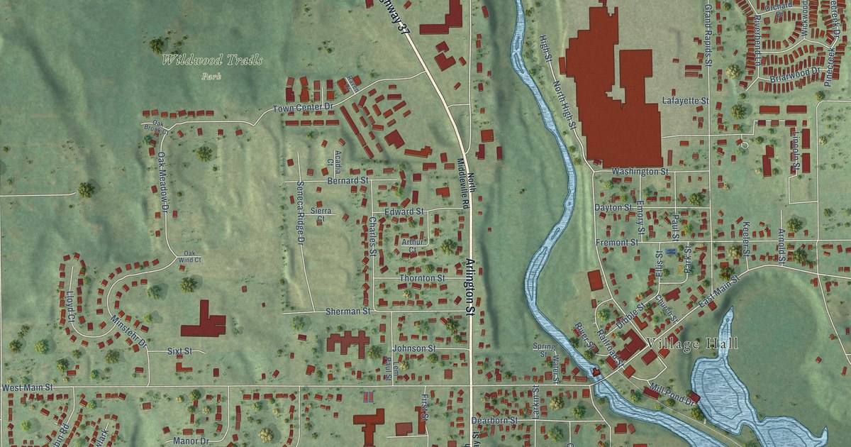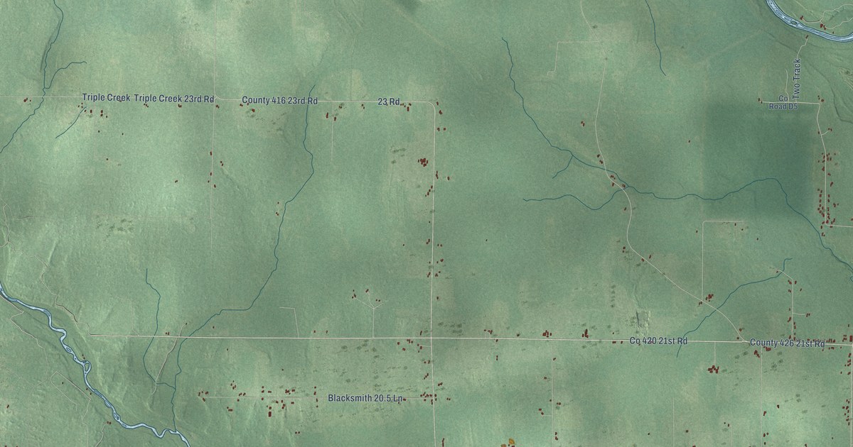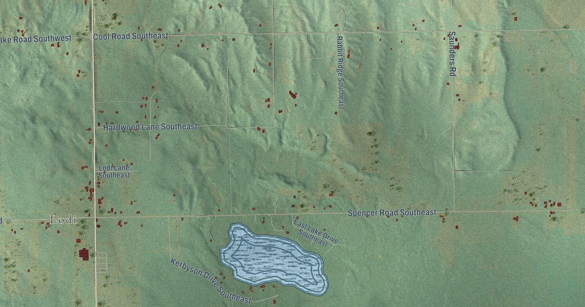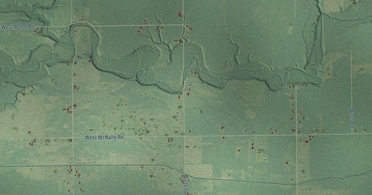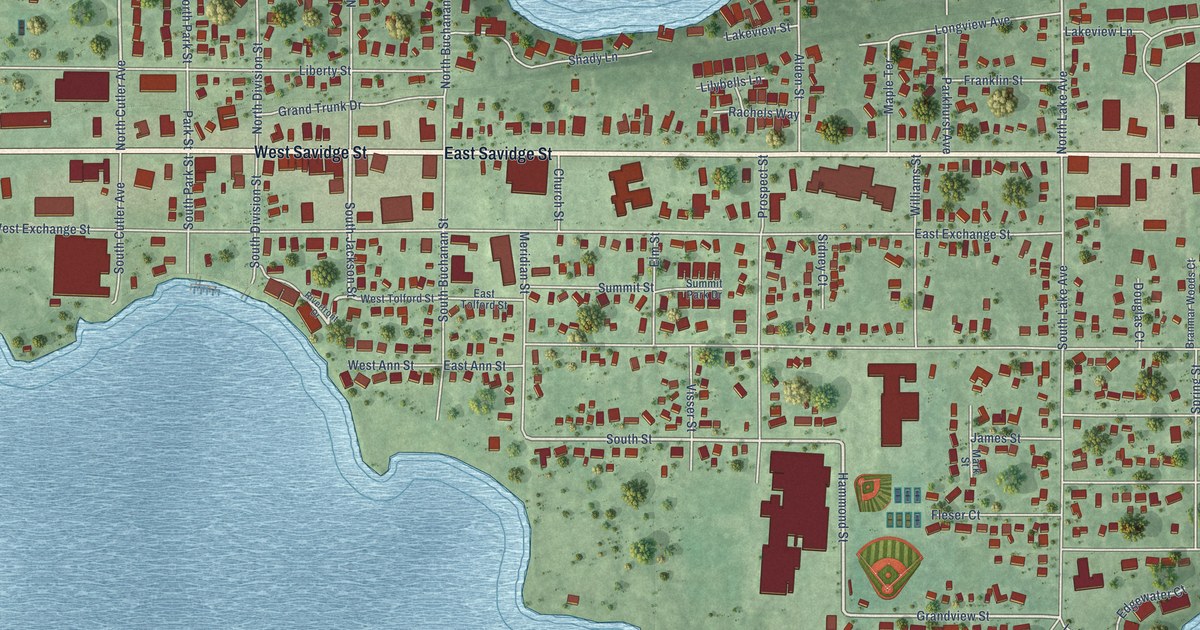
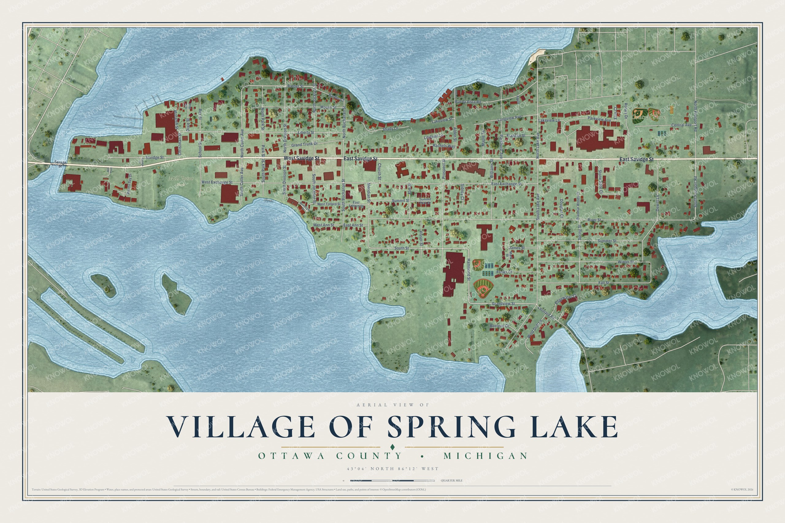
This beautifully detailed map of Spring Lake, Michigan was created in 2026 using aerial imagery combined with modern topographical, census, street and landmark data. It's a modern aerial view of Spring Lake in Ottawa County, Michigan, that combines modern data with a vintage aesthetic. The roads feature printed names, and if you look closely you can find your exact house accurately shown in its correct location.
Explore an aerial view of Spring Lake, Michigan
On this map you'll find Mill Point Park, Central Park, West Savidge Street, East Savidge Street, Hammond Street, South Jackson Street, South Street, Grandview Street, Barber Street, North Cutler Avenue, Christman Street, North Lake Avenue, and more. Each red shape is a building, so zoom in on the preview and look for yours.
Spring Lake has a story worth telling. The History of Ottawa County puts it this way: "Spring Lake, a very thriving and prosperous village, with many beautiful residences in it, and unrivaled for its beautiful aquatic scenery, was first platted as Mill Point in 1849, by T. W. White and S. C. Hopkins."
Spring Lake is a village in Ottawa County. The Census Bureau counted 2,497 people here in 2020.
Take a closer look at the Spring Lake map
Names on this map
These names are printed on this map.
Places: Mill Point Park and Central Park.
Streets and roads: West Savidge Street, East Savidge Street, Hammond Street, South Jackson Street, South Street, Grandview Street, Barber Street, North Cutler Avenue, Christman Street, North Lake Avenue, South Fruitport Road, Park Street.
More street names, A to Z
Alden Street, Apple, Barber Court, Boelens Court, Branmar Woods Court, Buena Vista Road, Central Avenue, Church Street, Dewitt Lane, Dixie Street, Douglas Court, East Ann Street, East Exchange Street, East Tolford Street, Edgewater Court, Elk Avenue, Ellie Court, Elm Street, Fall Street, Fleser Court, Franklin Street, Grand Trunk Drive, James Street, Lakeview Court, Lakeview Lane, Lakeview Street, Leonard Road, Liberty Street, Lilybells Lane, Longview Avenue, Maple Terrace, Marina Bay Drive, Mark Street, Mason Street, Meridian Street, Mill Point, Monarch Street, North Buchanan Street, North Division Street, North Fruitport Road, North Jackson Street, North Park Street, Parkhurst Avenue, Parkview Avenue, Prospect Street, Rachels Way, Rex Street, Riverfront Drive, River Street, Rotary Drive, Savage Street, Savidge Court, Savidge Street, School Street, Shady Lane, Sidney Court, South Buchanan Street, South Cutler Avenue, South Division Street, South Lake Avenue, South Park Street, Spring Street, Stone Gate Court, Summer Street, Summit Park Drive, Summit Street, Visser Street, West Ann Street, West Exchange Street, West Tolford Street, Williams Street, Wind Drift Lane, Winter Street.
Created by KNOWOL in 2026. The buildings are small red shapes, the roads carry their printed names, and shaded relief shows the shape of the land. The title panel reads "AERIAL VIEW OF VILLAGE OF SPRING LAKE, OTTAWA COUNTY • MICHIGAN" with 43°04' NORTH 86°12' WEST.
It looks right in a kitchen, an office or a den, and it's a gift for anyone who grew up in Spring Lake or moved away. Open the preview and find your street. See sizes and frames for the Spring Lake map.