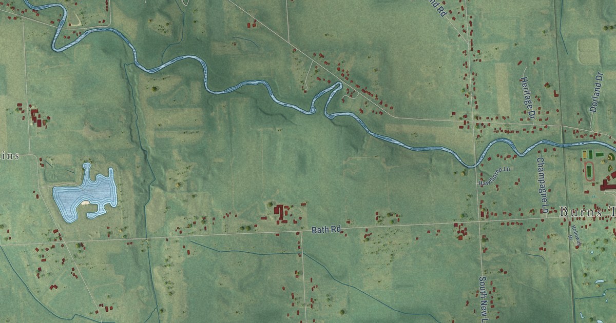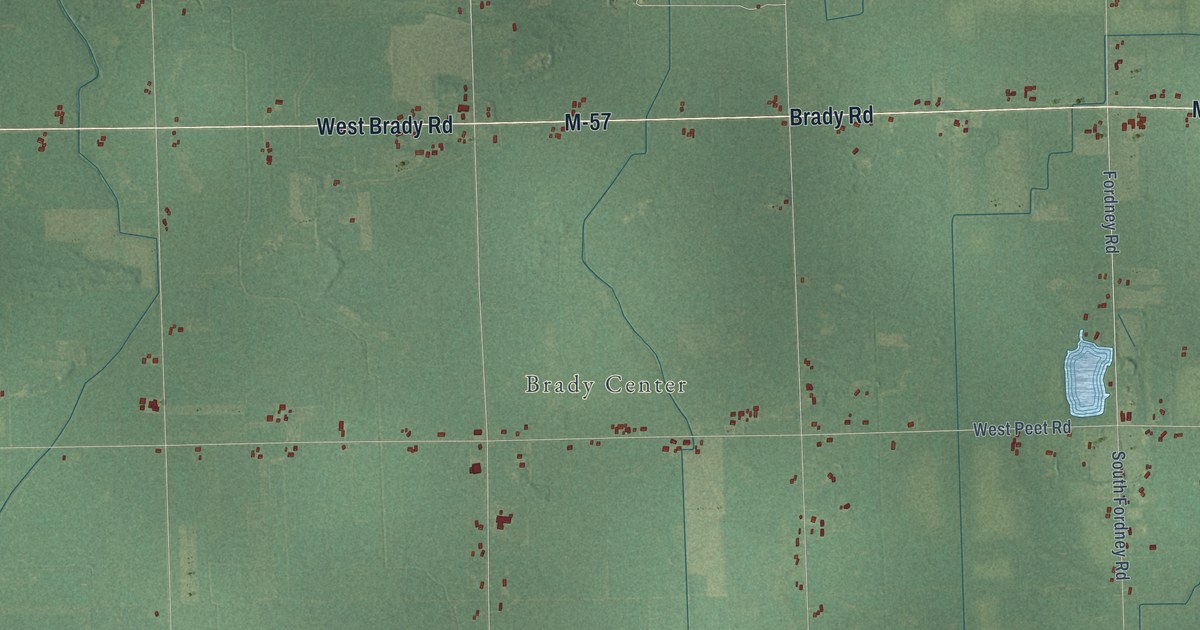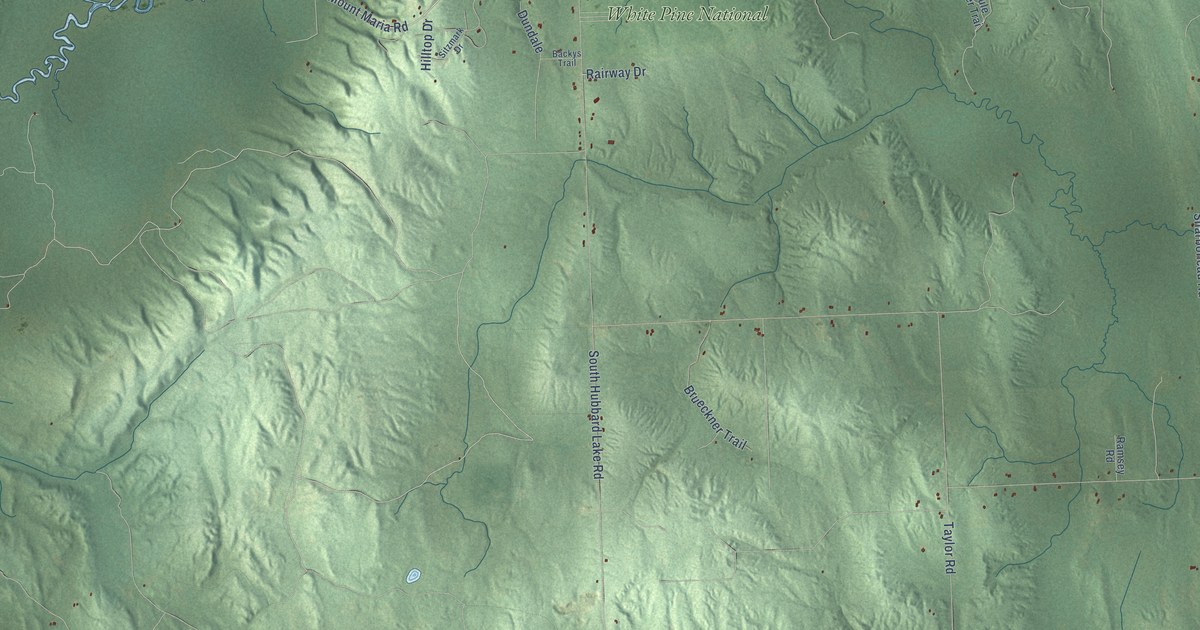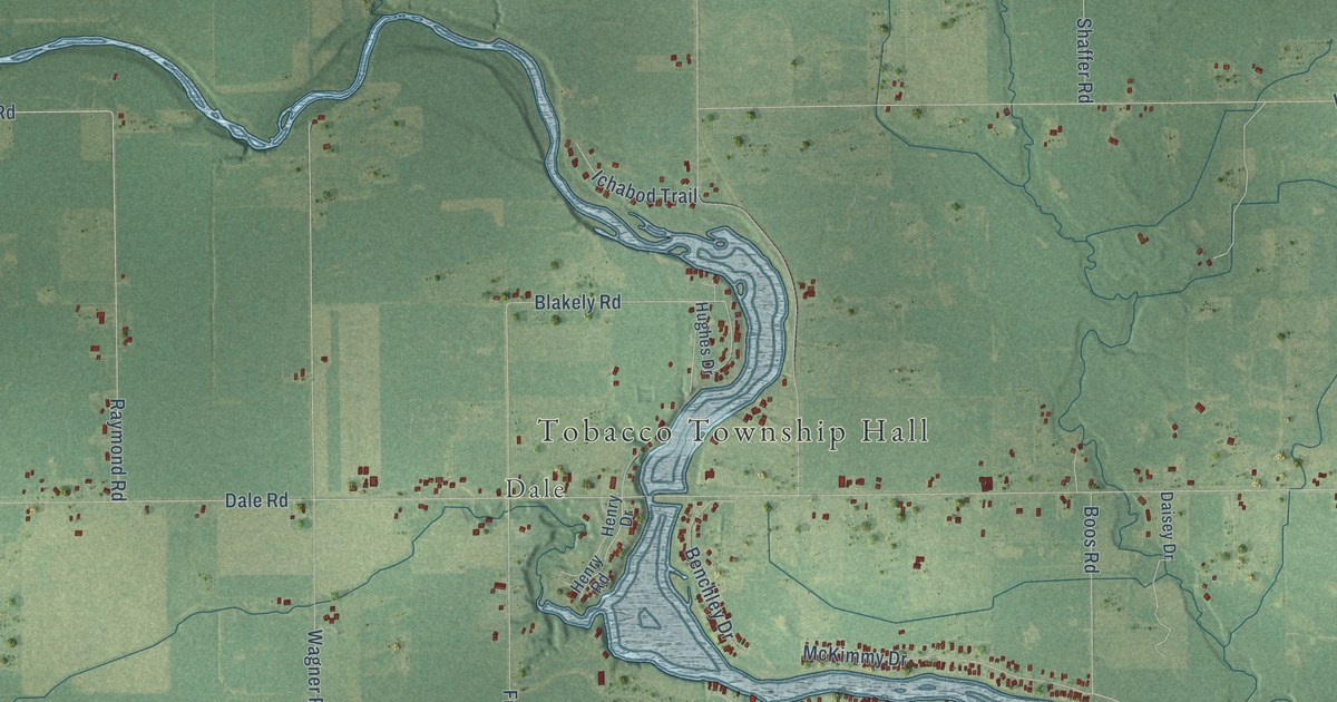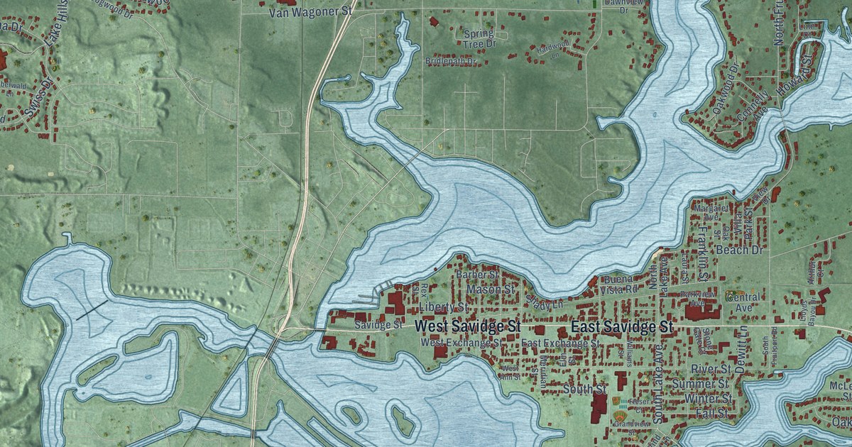
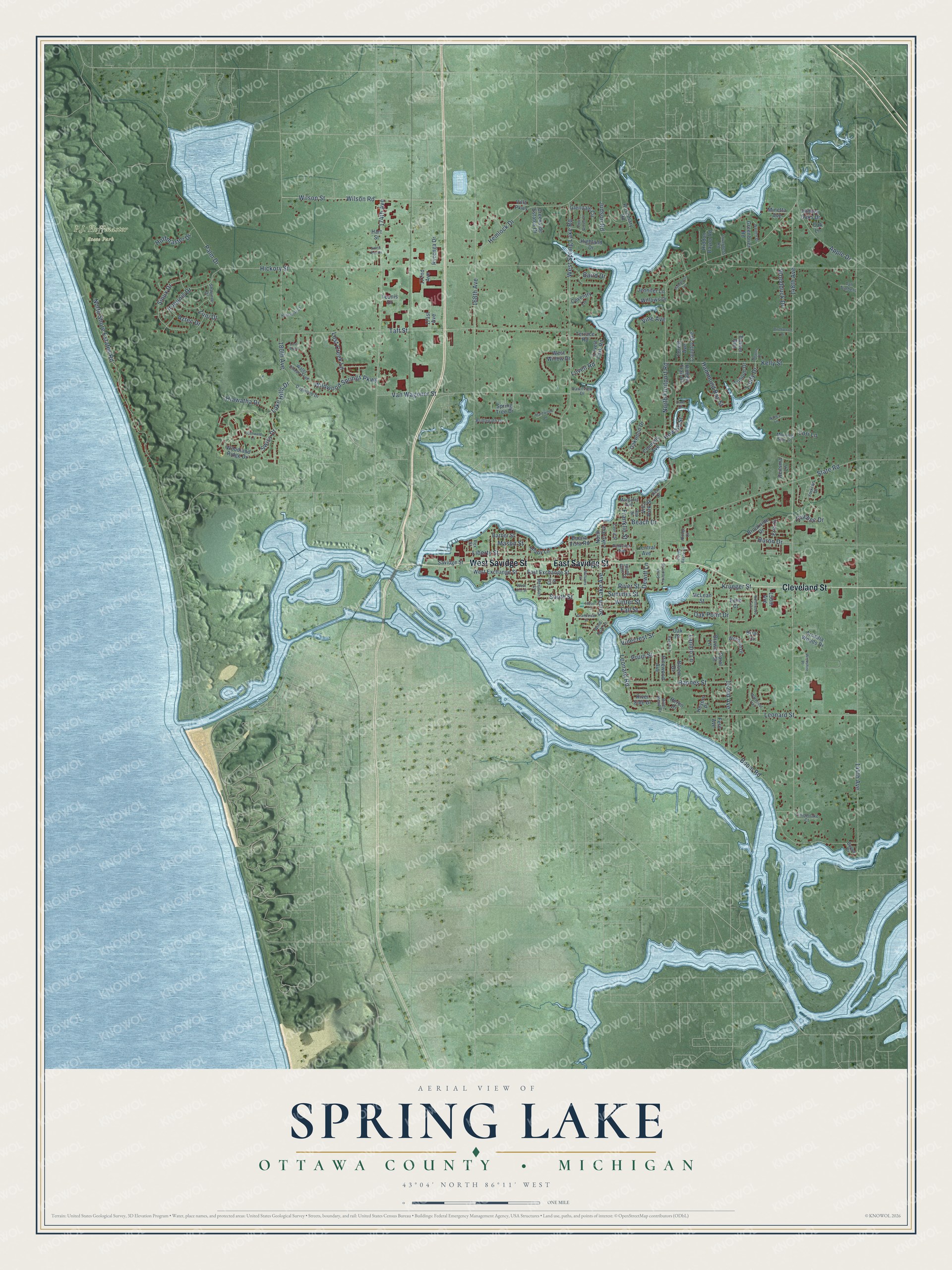
This beautifully detailed map of Spring Lake, Michigan was created in 2026 using aerial imagery combined with modern topographical, census, street and landmark data. It's a modern aerial view of Spring Lake in Ottawa County, Michigan, that combines modern data with a vintage aesthetic. The roads feature printed names, and if you look closely you can find your exact house accurately shown in its correct location.
Explore an aerial view of Spring Lake, Michigan
On this map you'll find Cleveland Street, East Savidge Street, West Savidge Street, Leonard Road, Lannin Lane, Leonard Street, Swiss Drive, South Street, 144th Avenue, Krueger Street, 148th Avenue, Hickory Street, and more. Each red shape is a building, so zoom in on the preview and look for yours.
Spring Lake has a story worth telling. The Compendium of Ottawa County puts it this way: "In 1849 the name of the township was changed from Norton to Spring Lake, the balance of power having moved from Nortonville over to the Mill Point settlement. The first meeting of the electors for the organization of Spring Lake township was held at the school house near Barber's mill April 2, 1849."
The Census Bureau counted 15,296 people here in 2020.
Take a closer look at the Spring Lake map
Names on this map
These names are printed on this map.
Places: P.J. Hoffmaster State Park.
Streets and roads: Cleveland Street, East Savidge Street, West Savidge Street, Leonard Road, Lannin Lane, Leonard Street, Swiss Drive, South Street, 144th Avenue, Krueger Street, 148th Avenue, Hickory Street.
More street names, A to Z
150th Avenue, 152nd Avenue, 168th Avenue, 171st Avenue, 172nd Avenue, 174th Avenue, 180th Avenue, Apple Drive, Arcadia Woods Drive, Arthur Court, Aztec Drive, Baird Drive, Barber Street, Bayou Drive, Beach Drive, Birchwood Drive, Bloem Drive, Boom Road, Briar Court, Bridlepath Drive, Brookside Drive, Brown Lane, Buena Vista Road, Carol Street, Central Avenue, Connelly Avenue, Country Avenue, Coventry Lane, Creekside Estates Drive, Dawnview Drive, Dewitt Lane, Dogwood Drive, East Exchange Street, Echo Court, Elm Street, Erie Drive, Fall Street, Fern Avenue, Fleser Court, Forest Avenue, Franklin Street, Glendale Circle, Grandview Street, Greenbrier Road, Hammond Bay Street, Hardwood Lane, Hart Street, Hathaway Court, Hemlock Drive, Heron Drive, Heyers Place, Hiawatha Drive, Hidden Oaks Drive, Hidden Trail Drive, Hiddon Bayou Road, Highland Drive, Hoffmaster Drive, Howard Street, Huron Drive, Inverness Road, Iroquois Drive, Jennifer Lane, Judson Road, Kelly Street, Lake Hills Drive, Laura Street, Liberty Street, Linn Court, Lloyds Bayou Drive, Lori Lane, Lost Creek Lane, Lost Pond, Lovell Park Road, Lovell Road, Margaret Avenue, Mason Street, McLean Street, Meridian Street, Meyers Drive, Minetta Avenue, Morning Star Lane, Nancy Lane, North Fruitport Road, North Key Drive, North Lake Avenue, North Shore Estates Road, Northwood Trail, Oak Drive, Oak Lane, Oak Point Drive, Oak Street, Oakwood Drive, Oberwald Lane, Palm Drive, Parkview Avenue, Pinecrest Lane, Pine Grove Court, Pinewood Avenue, Pruin Street, Quebec Drive, Ranch Lane, Rannes Street, Reitsma Lane, Rex Street, River Bend Drive, River Side Drive, River Street, Rosemary Road, Rycenga Drive, Savidge Street, Shady Lane, Shawnee Drive, Sioux Drive, South Fruitport Road, South Lake Avenue, Spring Tree Drive, State Road, Stone Gate Court, Summer Street, Taft Street, Tall Timbers, Terrace Road, Teunis Drive, Timberlake Court, Timber Run, Trillium Drive, Trudy Drive, Van Wagoner Street, View Drive, Villa Park Street, Villa Parkway, Vine Avenue, Vinecrest Street, Walden Drive, Water Chase Trail, Waterleaf Trail, West Ann Street, West Exchange Street, West Spring Lake Road, West Willow Drive, Wickshire Place, Wildfield Drive, Wildwood Springs Parkway, Williams Street, Willows Drive, Wilson Road, Wilson Street, Wind Drift Lane, Winter Street, Woodduck Drive, Woodland Ridge Drive, Yorkton Drive, Zuni Drive.
Created by KNOWOL in 2026. The buildings are small red shapes, the roads carry their printed names, and shaded relief shows the shape of the land. The title panel reads "AERIAL VIEW OF SPRING LAKE, OTTAWA COUNTY • MICHIGAN" with 43°04' NORTH 86°11' WEST.
It looks right in a kitchen, an office or a den, and it's a gift for anyone who grew up in Spring Lake or moved away. Open the preview and find your street. See sizes and frames for the Spring Lake, Ottawa County map.