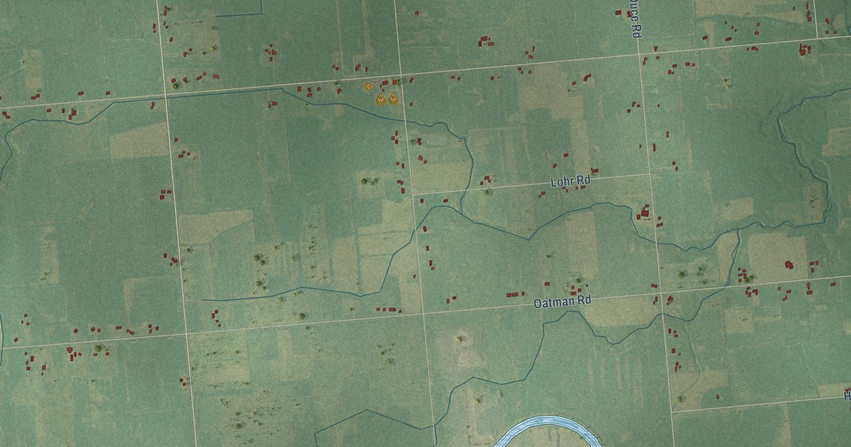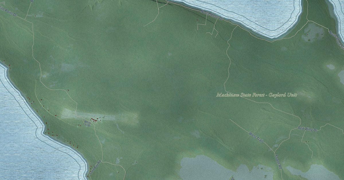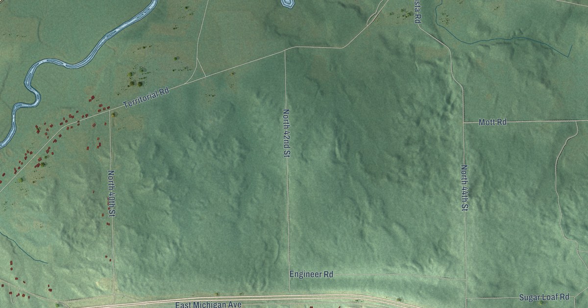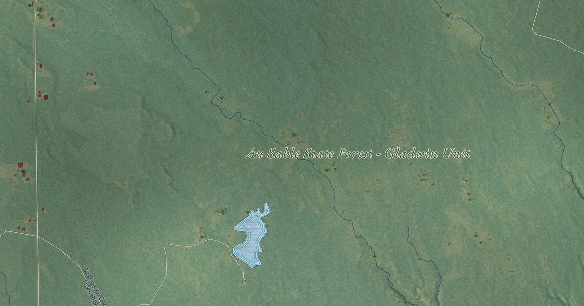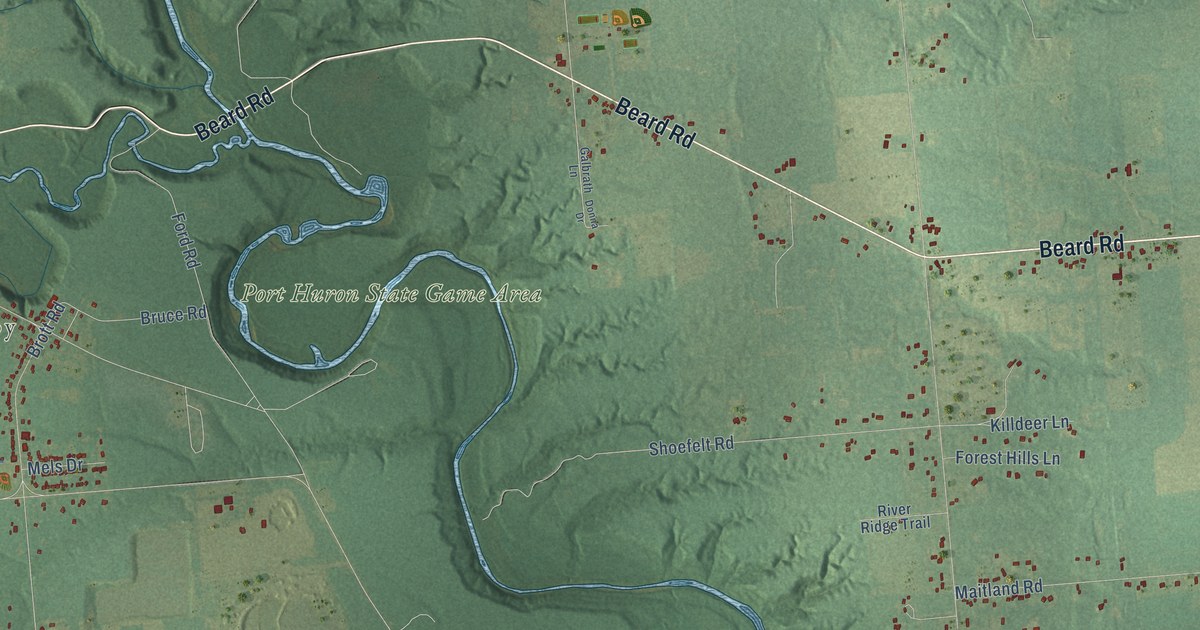
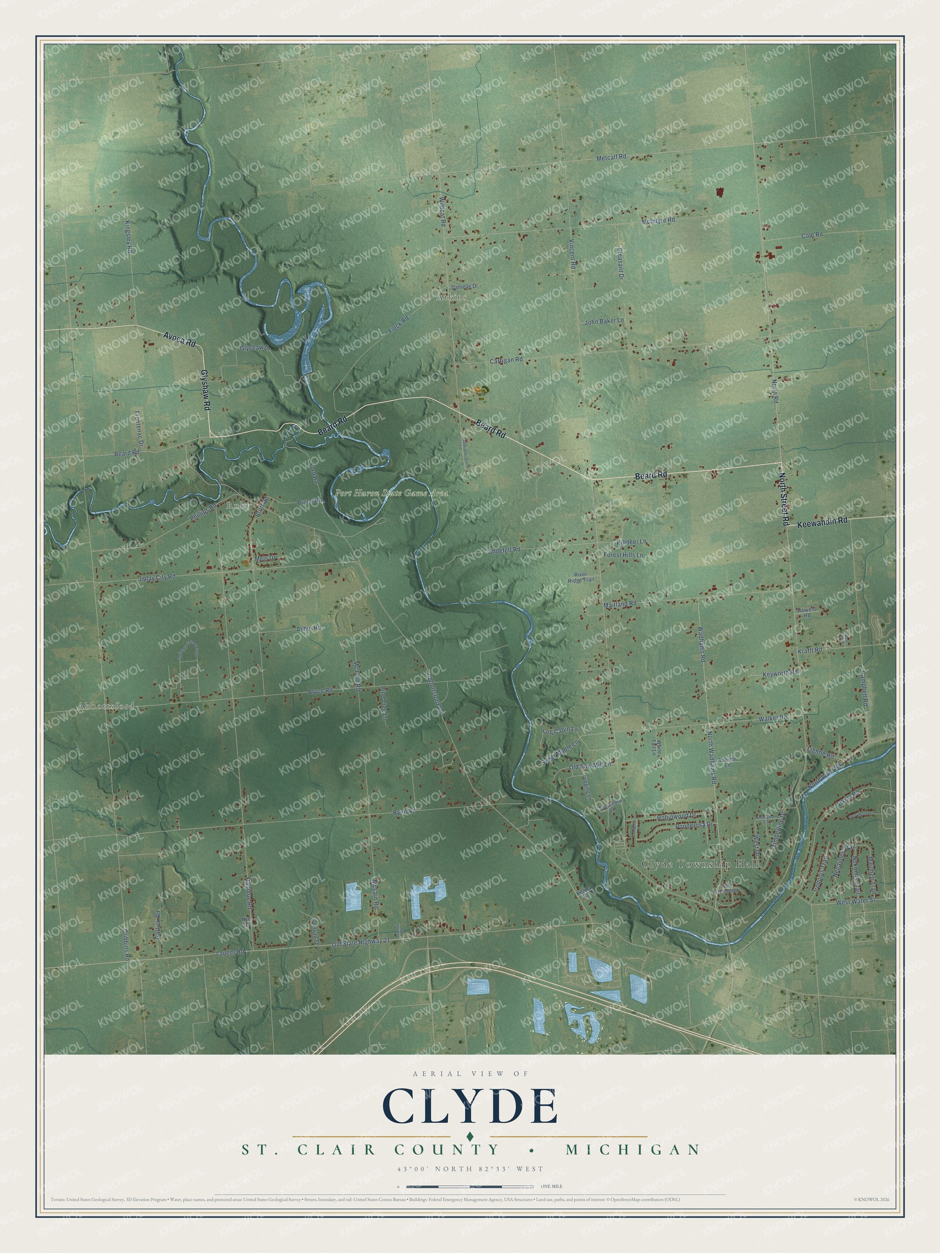
This beautifully detailed map of Clyde, Michigan was created in 2026 using aerial imagery combined with modern topographical, census, street and landmark data. It's a modern aerial view of Clyde in St. Clair County, Michigan, that combines modern data with a vintage aesthetic. The roads feature printed names, and if you look closely you can find your exact house accurately shown in its correct location.
Explore an aerial view of Clyde, Michigan
On this map you'll find Clyde Township Hall, Abbottsford, Atkins, Ruby, Port Huron State Game Area, Beard Road, Glyshaw Road, North Street Road, Avoca Road, Keewahdin Road, North Road, Abbottsford Road, and more. Each red shape is a building, so zoom in on the preview and look for yours.
Here is a piece of Clyde history, in the words of the record. The History of St. Clair County puts it this way: "Clyde Township was established under authority of legislative act March 26, 1836."
The Census Bureau counted 5,523 people here in 2020.
Take a closer look at the Clyde map
Names on this map
These names are printed on this map.
Places: Clyde Township Hall, Abbottsford, Atkins, Ruby and Port Huron State Game Area.
Streets and roads: Beard Road, Glyshaw Road, North Street Road, Avoca Road, Keewahdin Road, North Road, Abbottsford Road, Bryce Road, West Drive, Vincent Road, Cribbins Road, Metcalf Road.
More street names, A to Z
Asher Road, Atkins Road, Autumn Lane, Brott Road, Bruce Road, Campbell Road, Carrigan Road, Christmas Tree Farm, Cole Road, Conrad Drive, Cranberry Drive, Cutcher Road, Danielle Drive, Donna Drive, Fieck Road, Ford Road, Forest Hills Lane, Frontenac Drive, Galbrath Lane, Garlick Road, Glyshaw Drive, Harvest Road, Imlay City Road, Iroquois Trail, John Baker Lane, Kenda Court, Keyworth Road, Killdeer Lane, Kingsley Road, Krafft Road, Lapeer Road, Lightle Road, Log Cabin Lane, Logging Lane, Maitland Road, Maumee Trail, McIntyre Road, McLain Road, Mc Lain Road, Mels Drive, Negaunee Trail, Nokomis Trail, North Hillcrest Drive, North River Road, North Wadhams Road, Nye Drive, Old Saw Mill Lane, Old State Highway 21, Phillips Road, Pine Tree Lane, Pleasant Drive, Ponderosa Drive, Rabidue Road, River Ridge Trail, Robinwood Drive, Rynn Road, Shoefelt Road, Sugar Maple Lane, Sycamore Lane, Timberline Drive, Wadhams Road, Walker Road, West Water Street, West Winds Lane, Westwood Drive, White Tail Lane, Wildcat Road, Wintergreen Lane.
Created by KNOWOL in 2026. The buildings are small red shapes, the roads carry their printed names, and shaded relief shows the shape of the land. The title panel reads "AERIAL VIEW OF CLYDE, ST. CLAIR COUNTY • MICHIGAN" with 43°00' NORTH 82°33' WEST.
It suits a den, a classroom or a front hall, and it makes a gift for anyone with Clyde roots. Open the preview and find the block you know. See sizes and frames for the Clyde, St. Clair County map.