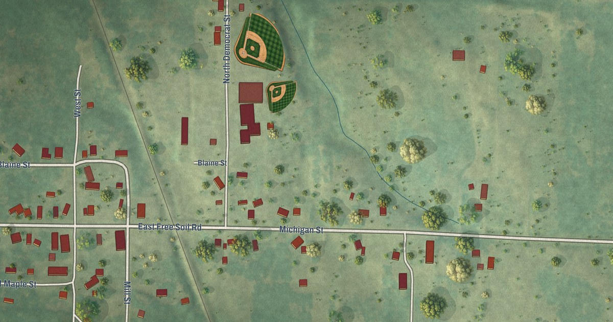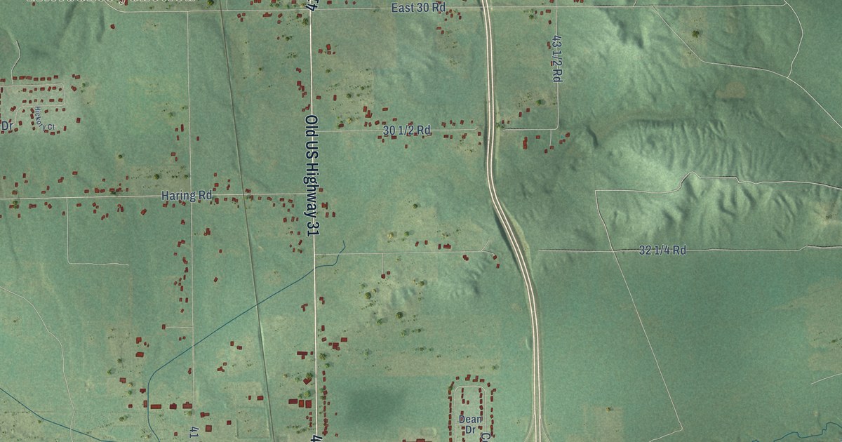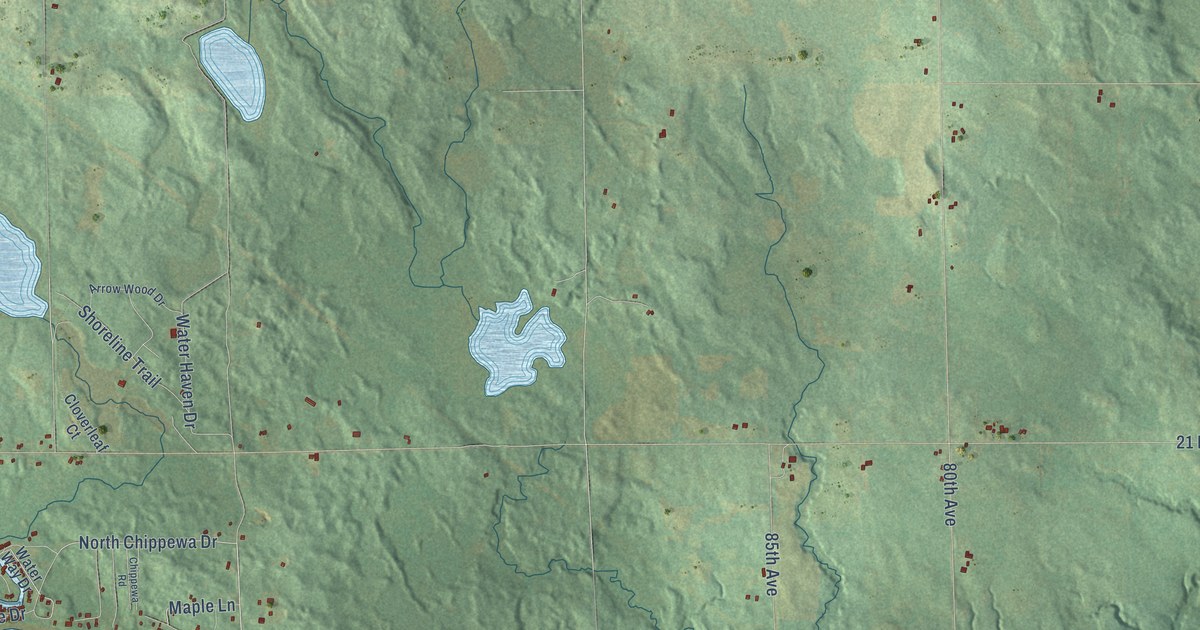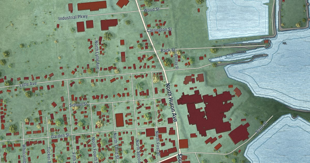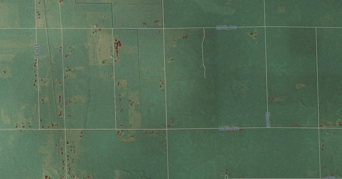
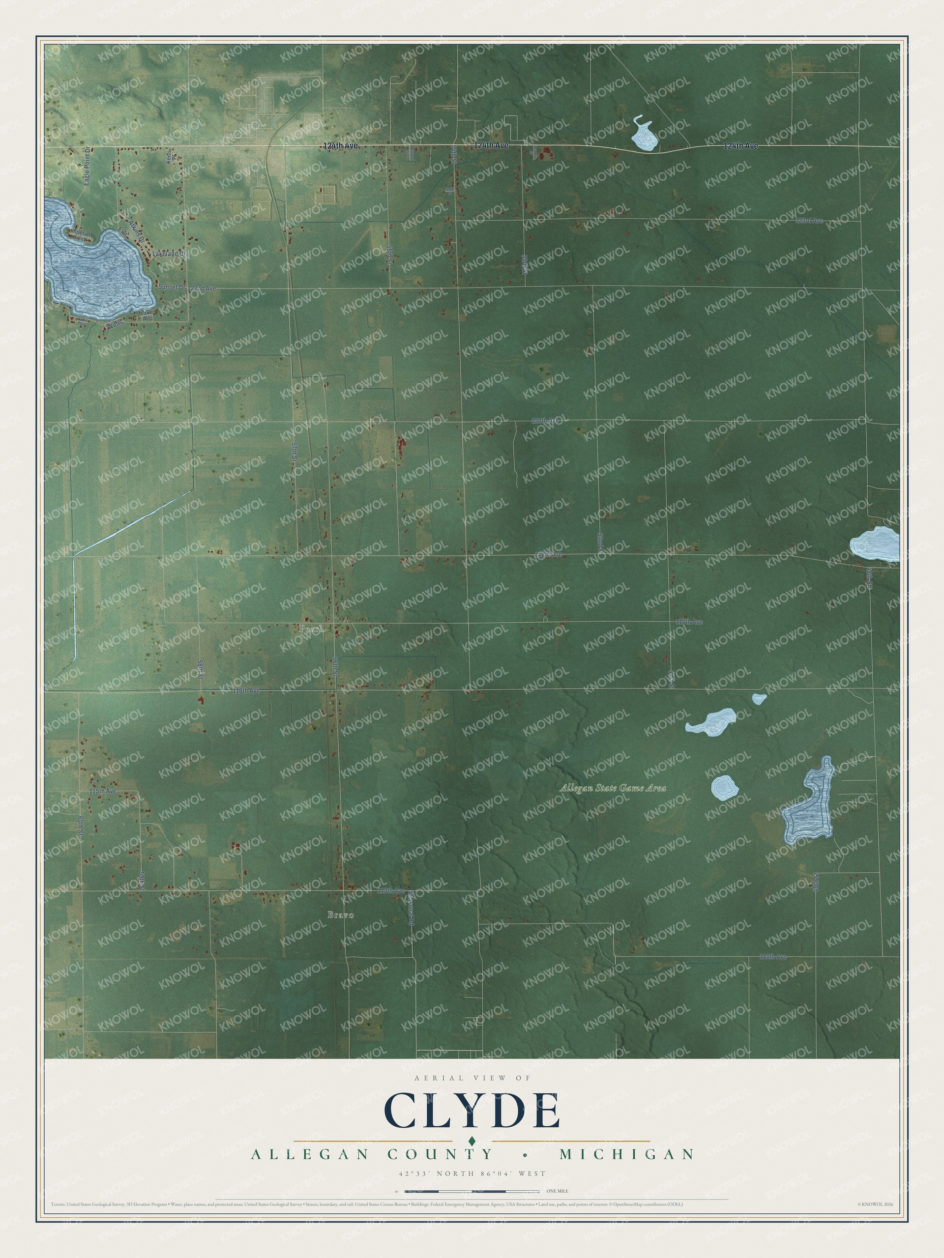
This beautifully detailed map of Clyde, Michigan was created in 2026 using aerial imagery combined with modern topographical, census, street and landmark data. It's a modern aerial view of Clyde in Allegan County, Michigan, that combines modern data with a vintage aesthetic. The roads feature printed names, and if you look closely you can find your exact house accurately shown in its correct location.
Explore an aerial view of Clyde, Michigan
On this map you'll find Bravo, Pearl, Allegan State Game Area, 124th Avenue, 52nd Street, 59th Street, 122nd Avenue, 116th Avenue, 120th Avenue, 118th Avenue, 48th Street, 54th Street, and more. Each red shape is a building, so zoom in on the preview and look for yours.
Here is a piece of Clyde history, in the words of the record. The History of Allegan and Barry Counties puts it this way: "Settlements in Clyde were confined until quite recently to the northwestern portion. Sherman, in the south, was settled in 1867, and in 1872, Eggleston and Hazleton, interested with Stockbridge and Johnson, extensive landowners, put up a large saw-mill at the place now called Clyde Centre, employing in the woods and at the mill about 75 men."
The Census Bureau counted 2,060 people here in 2020.
Take a closer look at the Clyde map
Names on this map
These names are printed on this map.
Places: Bravo, Pearl and Allegan State Game Area.
Streets and roads: 124th Avenue, 52nd Street, 59th Street, 122nd Avenue, 116th Avenue, 120th Avenue, 118th Avenue, 48th Street, 54th Street, 56th Street, 117th Avenue, 113th Avenue.
More street names, A to Z
49th Street, 51st Street, 53rd Street, 55th Street, 57th Street, 58th Street, 60th Street, 112th Avenue, 115th Avenue, 123rd Avenue, Atkins Drive, Deannie Street, Eagle Point Drive, Elm, Howard Street, Imperial Piont, Keiss Place, Lake Avenue, Lakeland Drive, Lake Street, North Street, Seasonal Road, Sunset Drive, Wells.
Created by KNOWOL in 2026. The buildings are small red shapes, the roads carry their printed names, and shaded relief shows the shape of the land. The title panel reads "AERIAL VIEW OF CLYDE, ALLEGAN COUNTY • MICHIGAN" with 42°33' NORTH 86°04' WEST.
It suits a den, a classroom or a front hall, and it makes a gift for anyone with Clyde roots. Open the preview and find the block you know. See sizes and frames for the Clyde, Allegan County map.