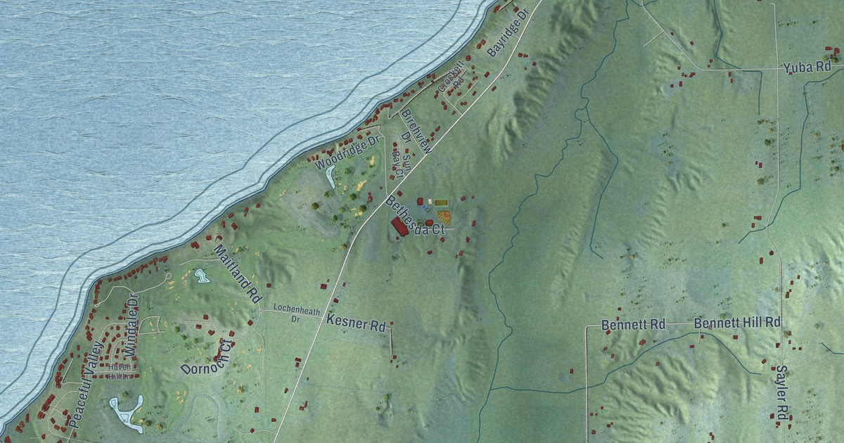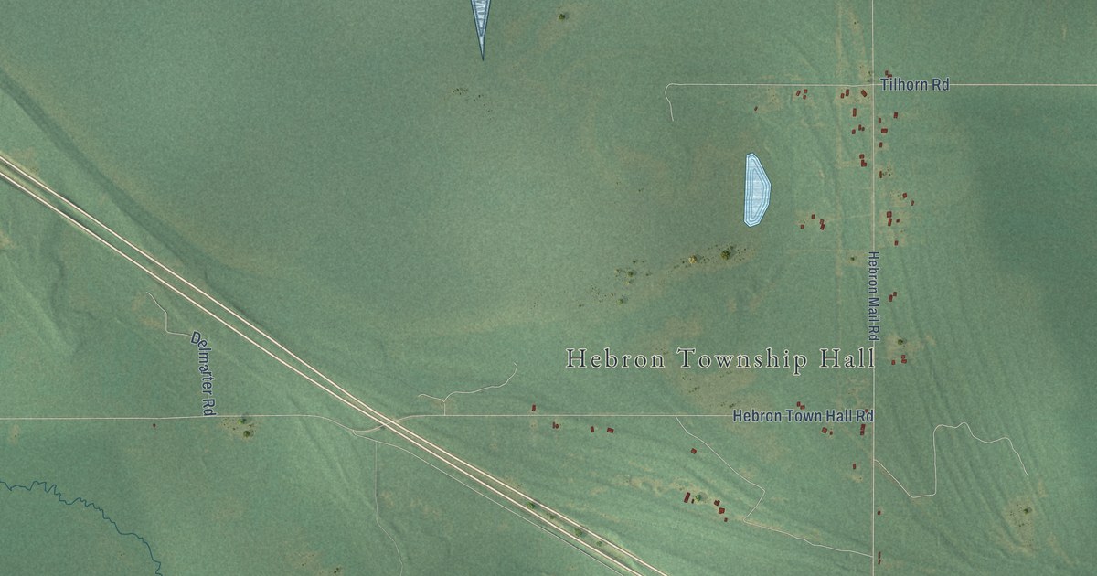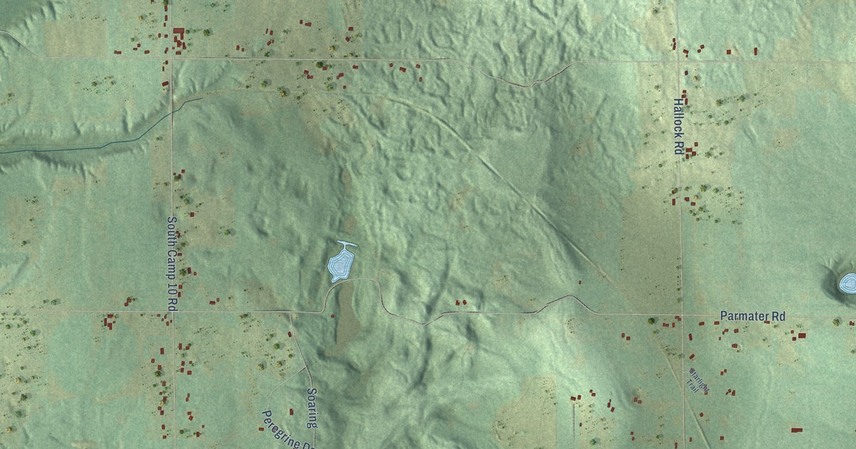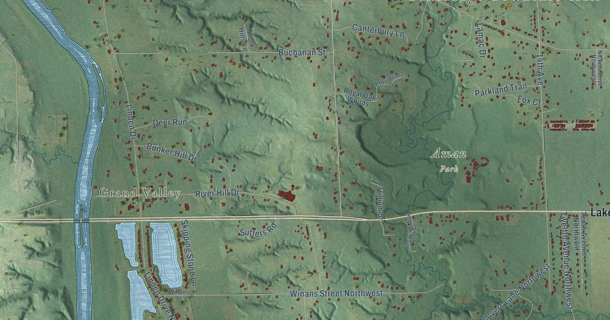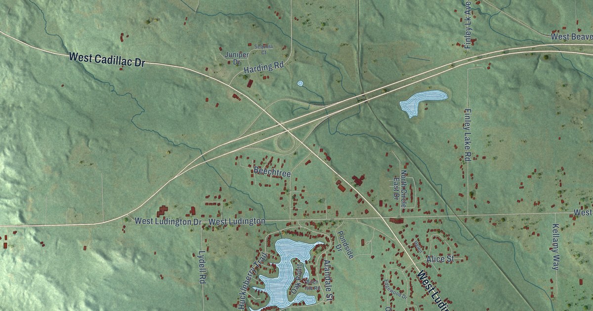
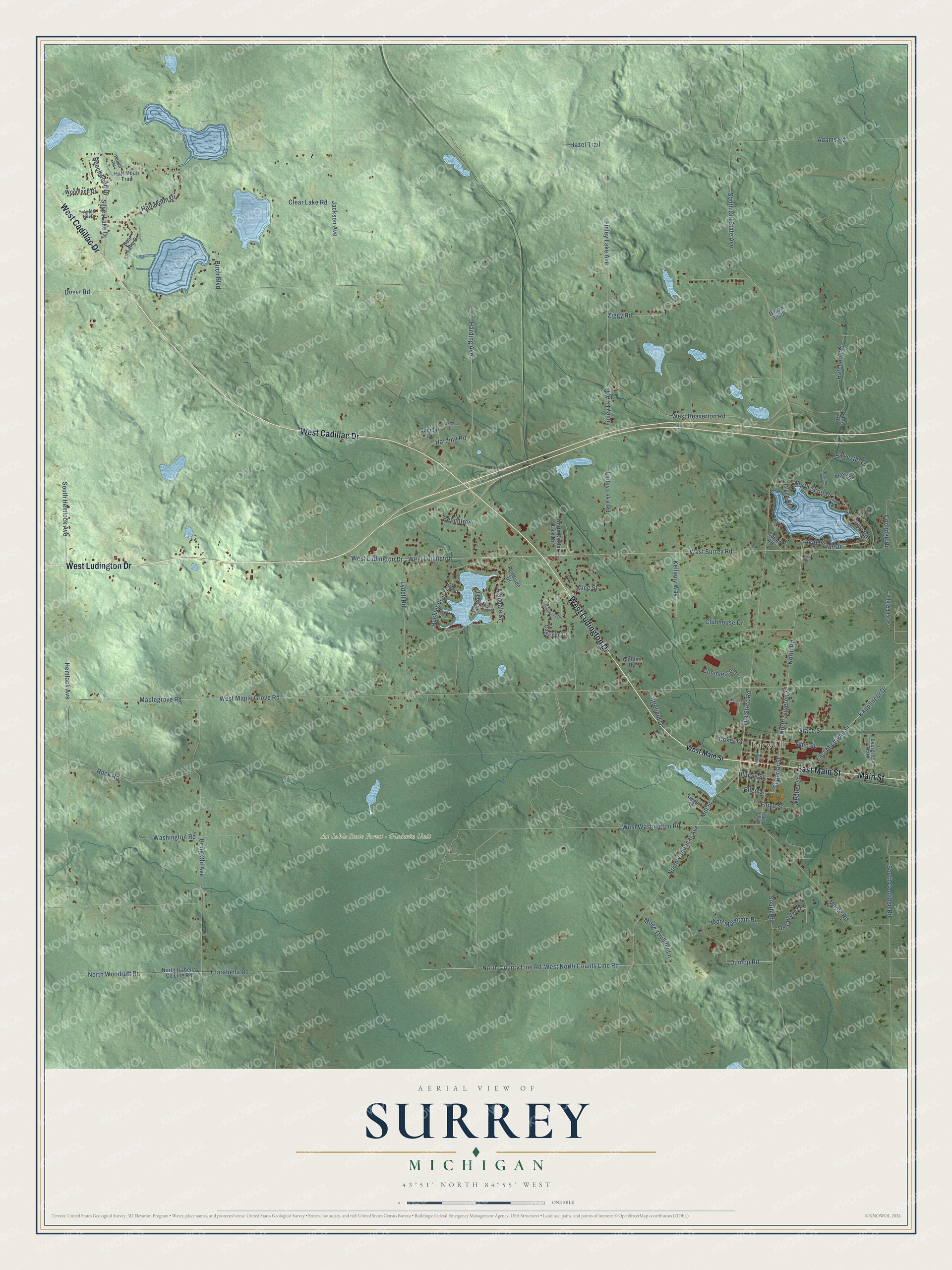
This beautifully detailed map of Surrey, Michigan was created in 2026 using aerial imagery combined with modern topographical, census, street and landmark data. It's a modern aerial view of Surrey in Clare County, Michigan, that combines modern data with a vintage aesthetic. The roads feature printed names, and if you look closely you can find your exact house accurately shown in its correct location.
Explore an aerial view of Surrey, Michigan
On this map you'll find Farwell, Au Sable State Forest – Gladwin Unit, West Ludington Drive, West Cadillac Drive, Main Street, East Main Street, West Ludington, West Surrey Road, Harding Road, Old State Road, Ellen Street, West Washington Road, and more. Each red shape is a building, so zoom in on the preview and look for yours.
The Census Bureau counted 3,635 people here in 2020. The map prints the town name in its title panel, with the coordinates below it.
Take a closer look at the Surrey map
Names on this map
These names are printed on this map.
Places: Farwell and Au Sable State Forest - Gladwin Unit.
Streets and roads: West Ludington Drive, West Cadillac Drive, Main Street, East Main Street, West Ludington, West Surrey Road, Harding Road, Old State Road, Ellen Street, West Washington Road, Superior Street, Maple Road.
More street names, A to Z
Adams Road, Alandale Street, Alice Street, Apple Hill Drive, Autumn Road, Bear Lake Drive, Beechtree, Beechwood Drive, Birch Boulevard, Birch Isle Road, Bring Old Avenue, Clarabella Road, Clear Lake Road, Clubhouse Drive, Coker Drive, Commerce Drive, Coolidge Road, Cutoff Road, Danzo Boulevard, Dover Road, Dunlop Road, East Michigan Street, Edgewood Drive, Evergreen Trail, Finley Lake Avenue, Finley Lake Road, Finley Lk Avenue, Floyd Street, Grace Street, Gravel Ridge, Half Moon Drive, Half Moon Trail, Harding Avenue, Hatchery Road, Hayes Street, Hazel Trail, Helen, Hemlock Avenue, Hoover Street, Huckleberry Trail, Illinois Street, Island Drive, Jackson Avenue, Juniper Drive, Kapplinger Drive, Kellamy Way, Littlefield Drive, Lydell Road, Lynn Road, Maplegrove Road, Miller Drive, Mill Street, Mogg Thunder Lane, Mott Mountain Road, Newton Creek Lane, North Circle East Drive, North County Line Road, North Isabella County Line Road, North Road, North Scott Drive, North Superior Street, North Vandecar Avenue, North Woodruff Road, Oak Point, Oakridge Drive, Ohio Street, Parker Drive, Pondside Drive, Riley Road, Rock Road, Sequoia Court, Siegle Street, Silver Lake Drive, South Coolidge Road, South Hall Street, South Hemlock Avenue, South Old State Avenue, South Road, South Scott Drive, Stone Hedge Lane, Surry Road, Sylvester Drive, Washington Road, Webber Street, West Beaverton Road, West Main Street, West Maple Grove Road, West North County Line Road, Woodland Drive, Ziggy Road.
Created by KNOWOL in 2026. The buildings are small red shapes, the roads carry their printed names, and shaded relief shows the shape of the land. The title panel reads "AERIAL VIEW OF SURREY, MICHIGAN" with 43°51' NORTH 84°55' WEST.
Hang it in the hallway, the office or the cabin, or give it to someone who left Surrey and still calls it home. Open the preview and look for a street you know. See sizes and frames for the Surrey map.