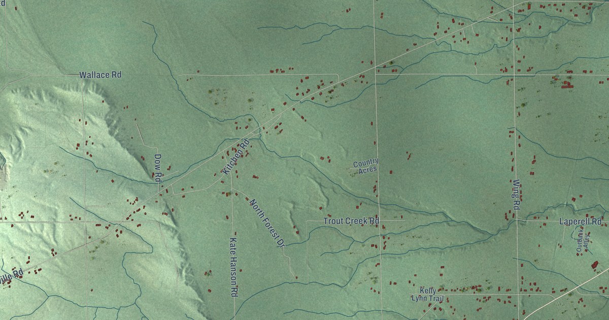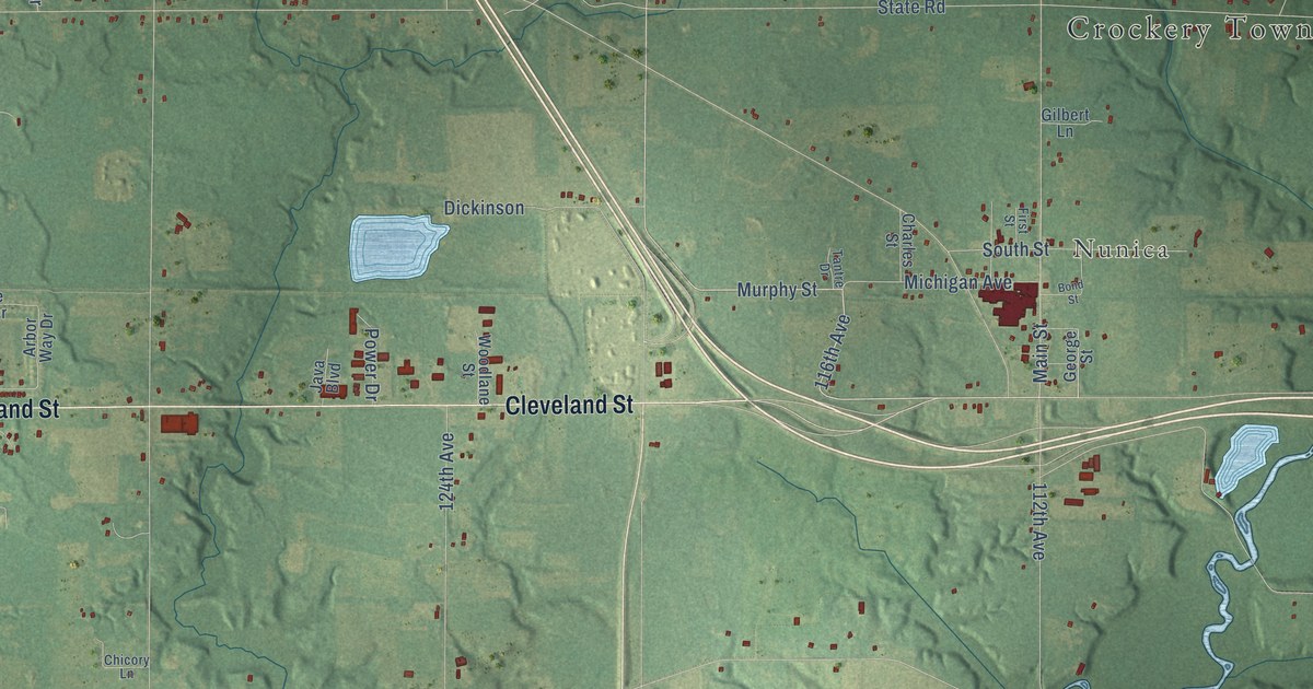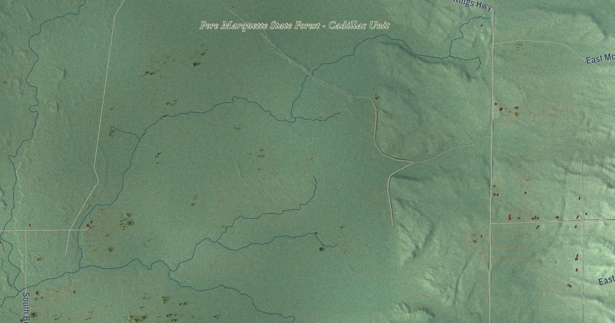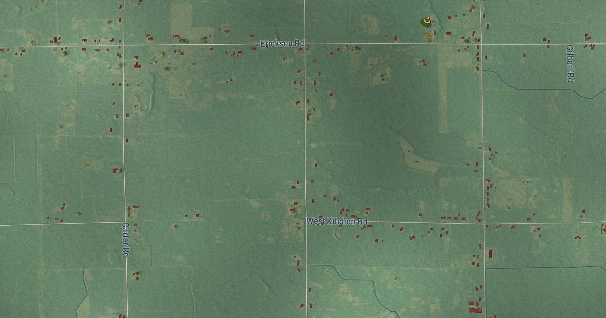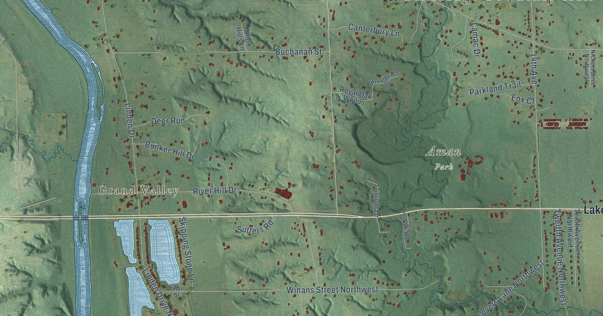
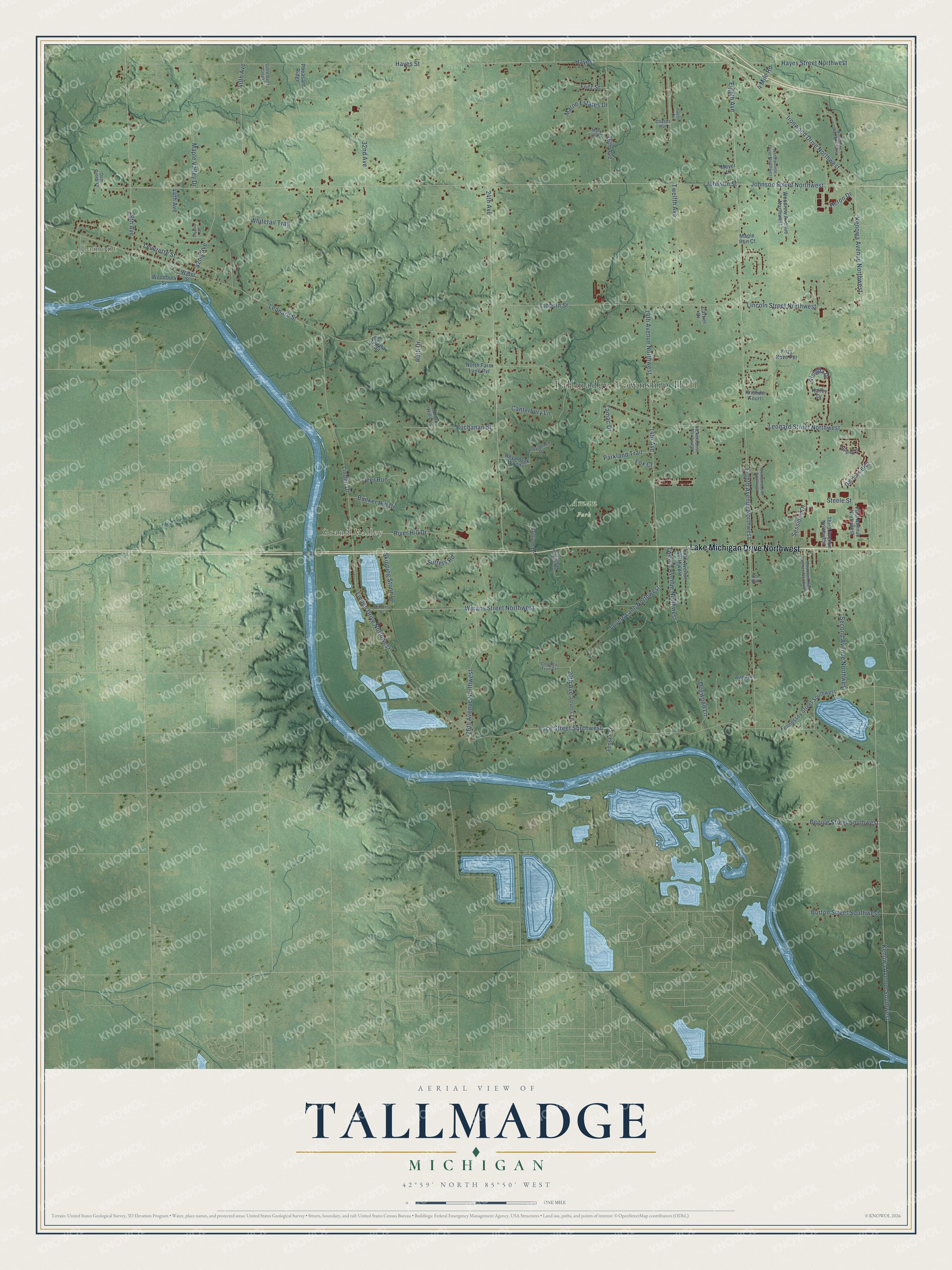
This beautifully detailed map of Tallmadge, Michigan was created in 2026 using aerial imagery combined with modern topographical, census, street and landmark data. It's a modern aerial view of Tallmadge in Ottawa County, Michigan, that combines modern data with a vintage aesthetic. The roads feature printed names, and if you look closely you can find your exact house accurately shown in its correct location.
Explore an aerial view of Tallmadge, Michigan
On this map you'll find Tallmadge Township Hall, Lamont, Grand Valley, Aman Park, Lake Michigan Drive Northwest, Hayes Street, Ironwood Drive Northwest, Eighth Avenue, 24th Avenue, Hayes, Johnson Street, 14th Avenue, and more. Each red shape is a building, so zoom in on the preview and look for yours.
Here is a piece of Tallmadge history, in the words of the record. The History of Ottawa County puts it this way: "Talmadge is said to have been first settled by T. B. Woodbury, in 1835, and the following year there arrived A. Stoddard, A. D. Yeomans, I. V. Harris, J. H. Maxfield, D. Angell, and in 1837 B. Church, S. G. Harris, E. Dalton, A. Hatch, J. Baxter, and Harrison Hunter."
The Census Bureau counted 8,802 people here in 2020.
Take a closer look at the Tallmadge map
Names on this map
These names are printed on this map.
Places: Tallmadge Township Hall, Lamont, Grand Valley and Aman Park.
Streets and roads: Lake Michigan Drive Northwest, Hayes Street, Ironwood Drive Northwest, Eighth Avenue, 24th Avenue, Hayes, Johnson Street, 14th Avenue, Leonard Street, Eighth Avenue Northwest, Luce Street Southwest, Kenowa Avenue Southwest.
More street names, A to Z
4 Mile Road, 14th Avenue Northwest, 16th Avenue, 20th Avenue, 26th Avenue Northwest, 32nd Avenue, 40th Avenue, 42nd Avenue, 44th Avenue, 48th Avenue, Aleigha Drive, Begole Street Southwest, Buchanan Street, Bunker Hill Drive, Burton Street Southwest, Canterbury Lane, Cartier Drive, Chases Run, Cheyenne Trail Northwest, Country Trail Court, Deer Creek Lane, Deer Run, Dogwood Lane, Fennessey Street Southwest, Fenske Street, First Avenue Northwest, Fox Court, Fox Run, Fritz Street, Gardens Boulevard, Hailey Drive, Hayes Street Northwest, Heron Drive, Johnson Street Northwest, Kenowa Avenue Northwest, Kozy Kove Pvt, Kristide Kourt, Lamac Drive, Leonard Street Northwest, Leverette Street, Lilypine Drive, Lincoln Street, Lincoln Street Northwest, Linden Drive, Linden Drive Northwest, Little Deer Creek, Lovers Lane, Lovers Lane Northwest, Maple Run Court, Maple Valley Drive, Marne Estates Drive, Mary Lynn Court, Meyer Lane, Mountain Ash Avenue Northwest, Nickels Drive Northwest, North Farm Lane Pvt, Northpointe Drive Northwest, Odawa Trail, Parkland Trail, Pheasant Ridge, Providence Drive, River Hill Drive, Royal Oak Woods, Ruth Drive, Second Avenue Northwest, Sessions Drive, Shapell Drive, Skipping Stone Lane, Steele Street, Sutters Road, Tenth Avenue Northwest, Third Avenue Northwest, Thorn Hills Lane, Trillium Drive, Twelfth Avenue, Twelfth Avenue Northwest, Twelfth Court, Water Street, Whitetail Trail, Wildwood Lane, Winans Street, Winans Street Northwest, Windemere Drive Northwest, Woodbury Street, Woodgate Drive Northwest, Woodrow Avenue Northwest.
Created by KNOWOL in 2026. The buildings are small red shapes, the roads carry their printed names, and shaded relief shows the shape of the land. The title panel reads "AERIAL VIEW OF TALLMADGE, MICHIGAN" with 42°59' NORTH 85°50' WEST.
It suits a den, a classroom or a front hall, and it makes a gift for anyone with Tallmadge roots. Open the preview and find the block you know. See sizes and frames for the Tallmadge map.