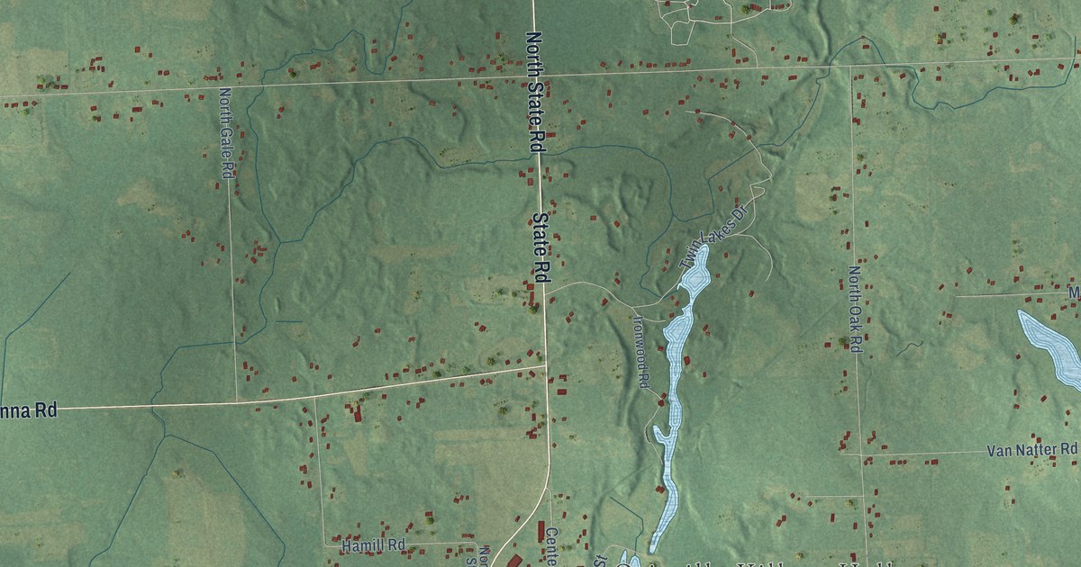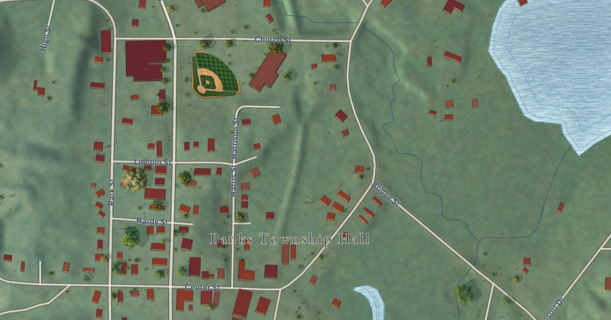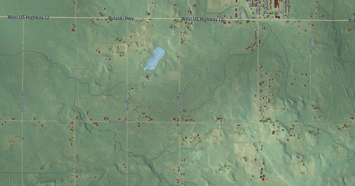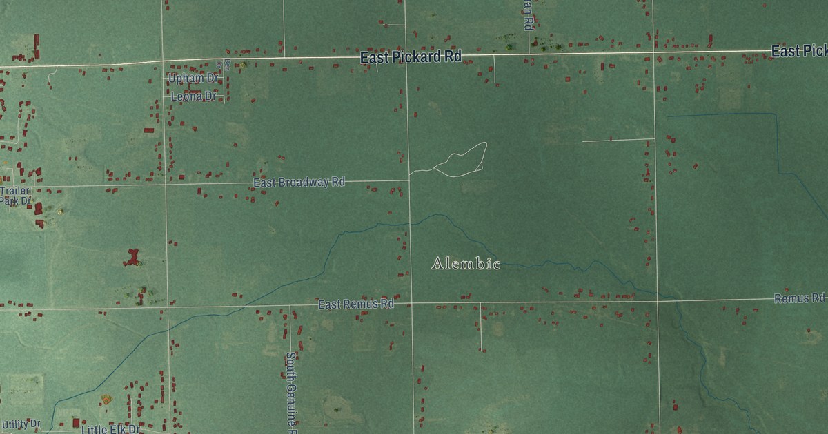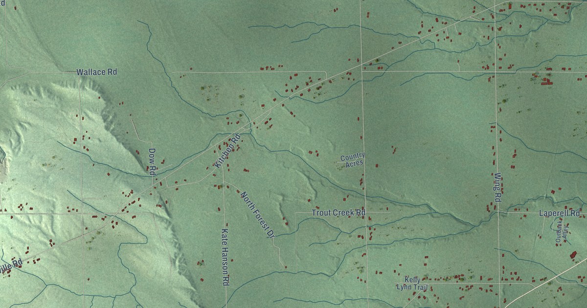
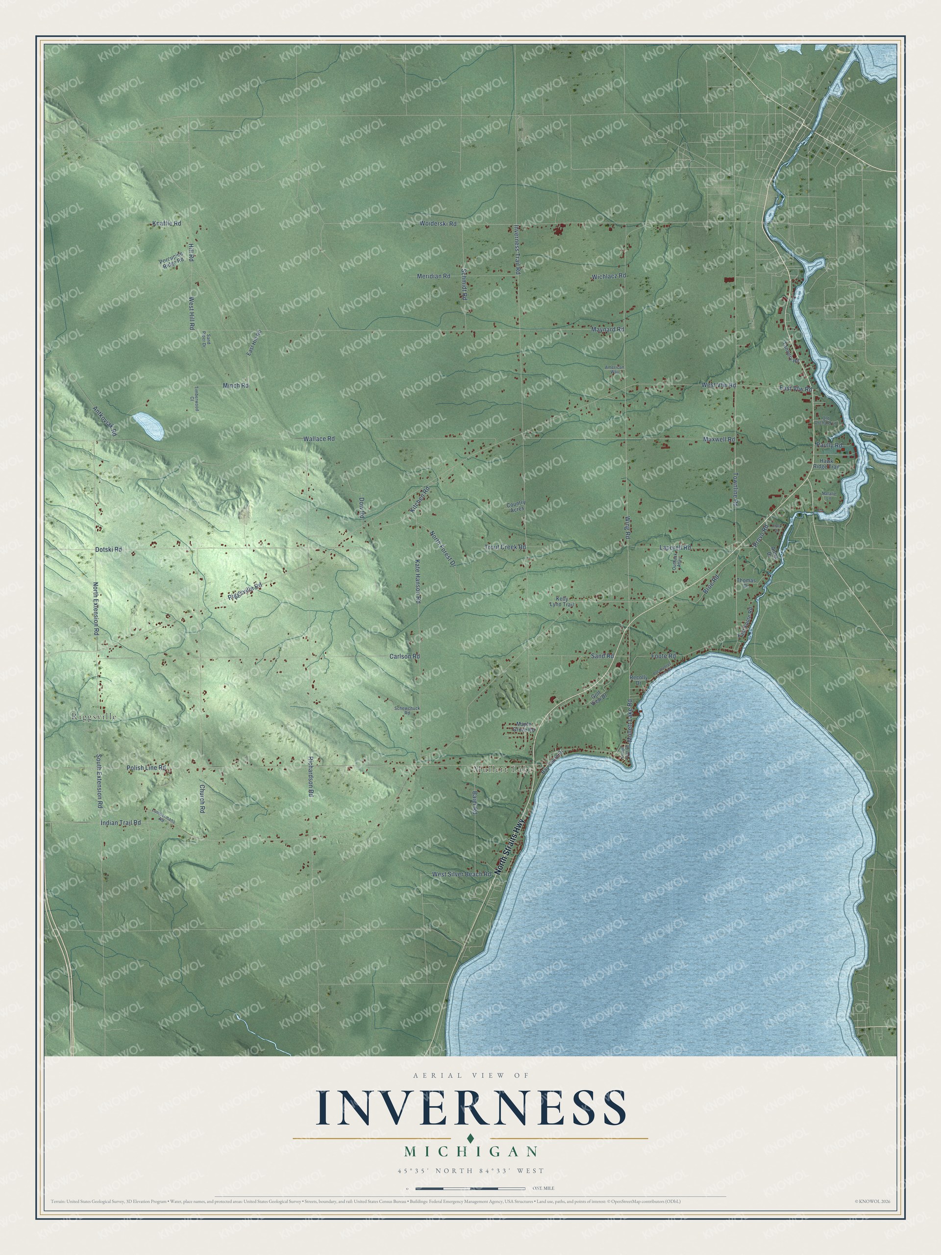
This beautifully detailed map of Inverness, Michigan was created in 2026 using aerial imagery combined with modern topographical, census, street and landmark data. It's a modern aerial view of Inverness in Cheboygan County, Michigan, that combines modern data with a vintage aesthetic. The roads feature printed names, and if you look closely you can find your exact house accurately shown in its correct location.
Explore an aerial view of Inverness, Michigan
On this map you'll find Mullett Lake, Riggsville, North Straits Highway, Townline Road, Woiderski Road, Wing Road, Mullett Lake Road, Riggsville Road, Indian Trail Road, Inverness Trail Road, Maynard Road, Richardson Road, and more. Each red shape is a building, so zoom in on the preview and look for yours.
The Census Bureau counted 2,159 people here in 2020. The map prints the town name in its title panel, with the coordinates below it.
Take a closer look at the Inverness map
Names on this map
These names are printed on this map.
Places: Mullett Lake and Riggsville.
Streets and roads: North Straits Highway, Townline Road, Woiderski Road, Wing Road, Mullett Lake Road, Riggsville Road, Indian Trail Road, Inverness Trail Road, Maynard Road, Richardson Road, Polish Line Road, Wallace Road.
More street names, A to Z
American Way, Anna Drive, Antkoviak Road, Baier Road, Bay Shore Drive, Broe Road, Carlson Road, Church Road, Clark Drive, Country Acres, Dodge Point Road, Dotski Road, Dow Road, East Foote Road, East Hill Road, East Vfw Road, Foote Road, Golf View Drive, Hawk Ridge Trail, Hill Road, Kate Hanson Road, Kelly Lynn Trail, Kitchen Road, Knaffle Road, Laperell Road, Lumbermans Road, Maple Grove Road, Maxwell Road, Meridian Road, Minch Road, Natalie Lane, North Extension Road, North Forest Drive, Old Orchard Lane, Outback Alley, Paully Road, Pocahantas Beach Road, Porcupine Ridge Road, Provo Road, Recolly Drive, Sand Piper Drive, Sand Road, Schewchuck Road, Schmidt Road, South Extension Road, Tannery Road, Thomas Drive, Timberwood Court, Trout Creek Road, West Hill Road, West Silver Beach Road, West Vfw Road, Wichlacz Road.
Created by KNOWOL in 2026. The buildings are small red shapes, the roads carry their printed names, and shaded relief shows the shape of the land. The title panel reads "AERIAL VIEW OF INVERNESS, MICHIGAN" with 45°35' NORTH 84°33' WEST.
It suits a den, a classroom or a front hall, and it makes a gift for anyone with Inverness roots. Open the preview and find the block you know. See sizes and frames for the Inverness map.