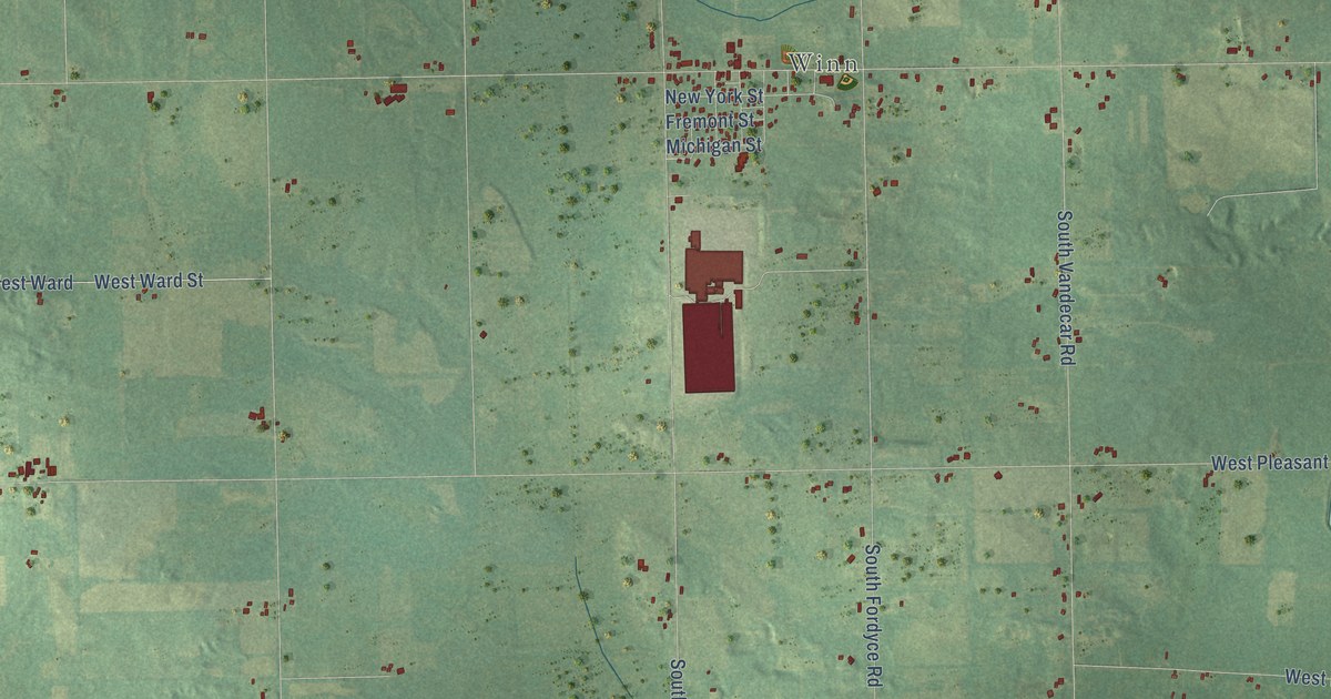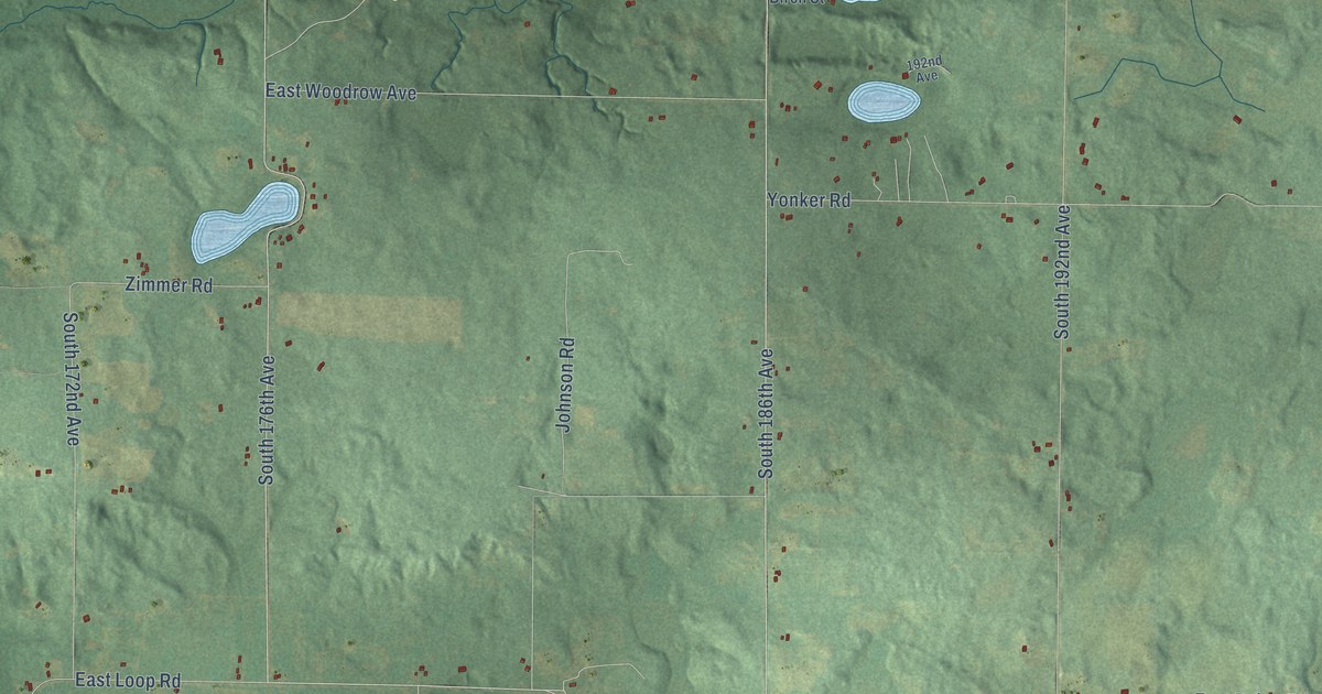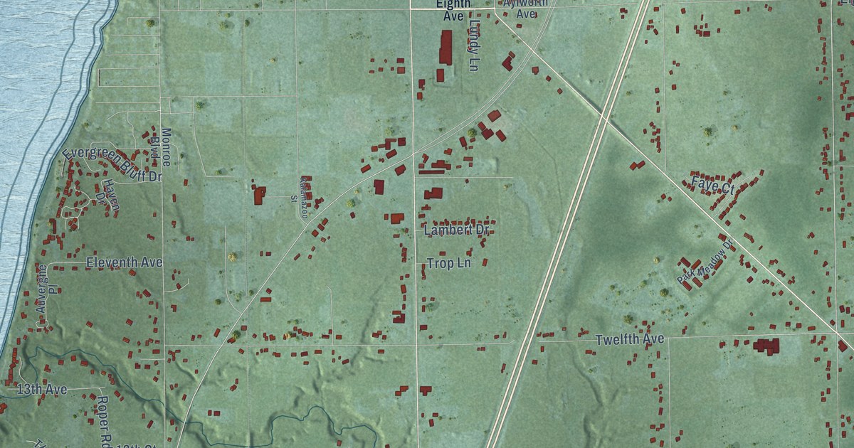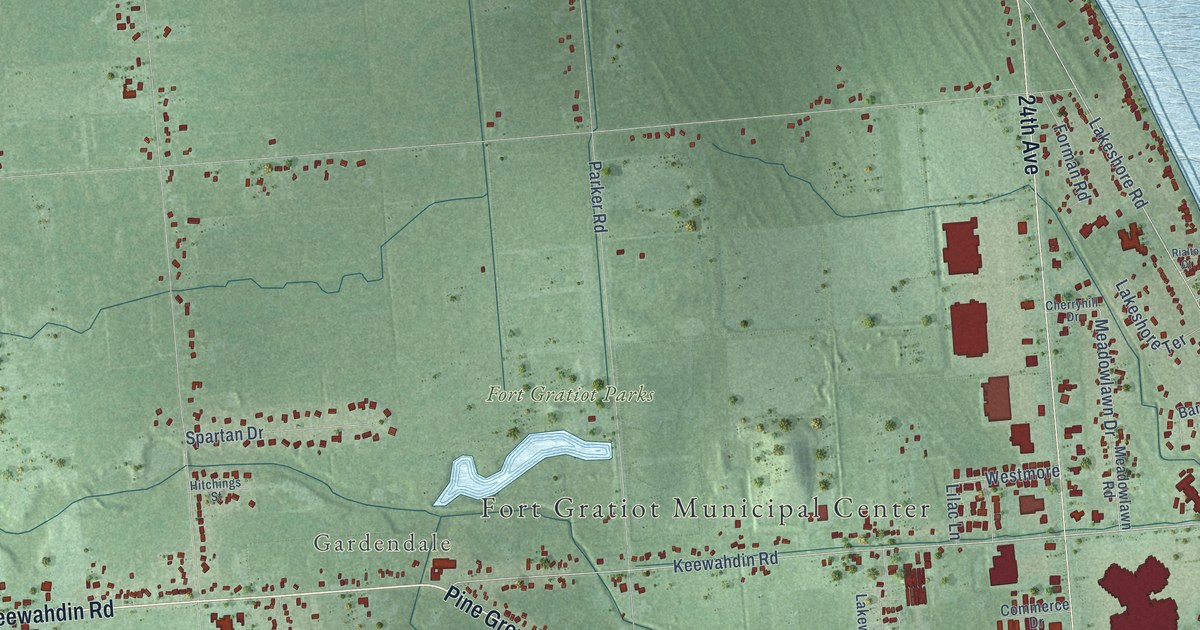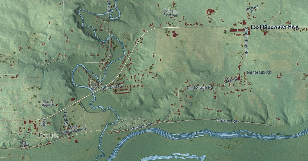
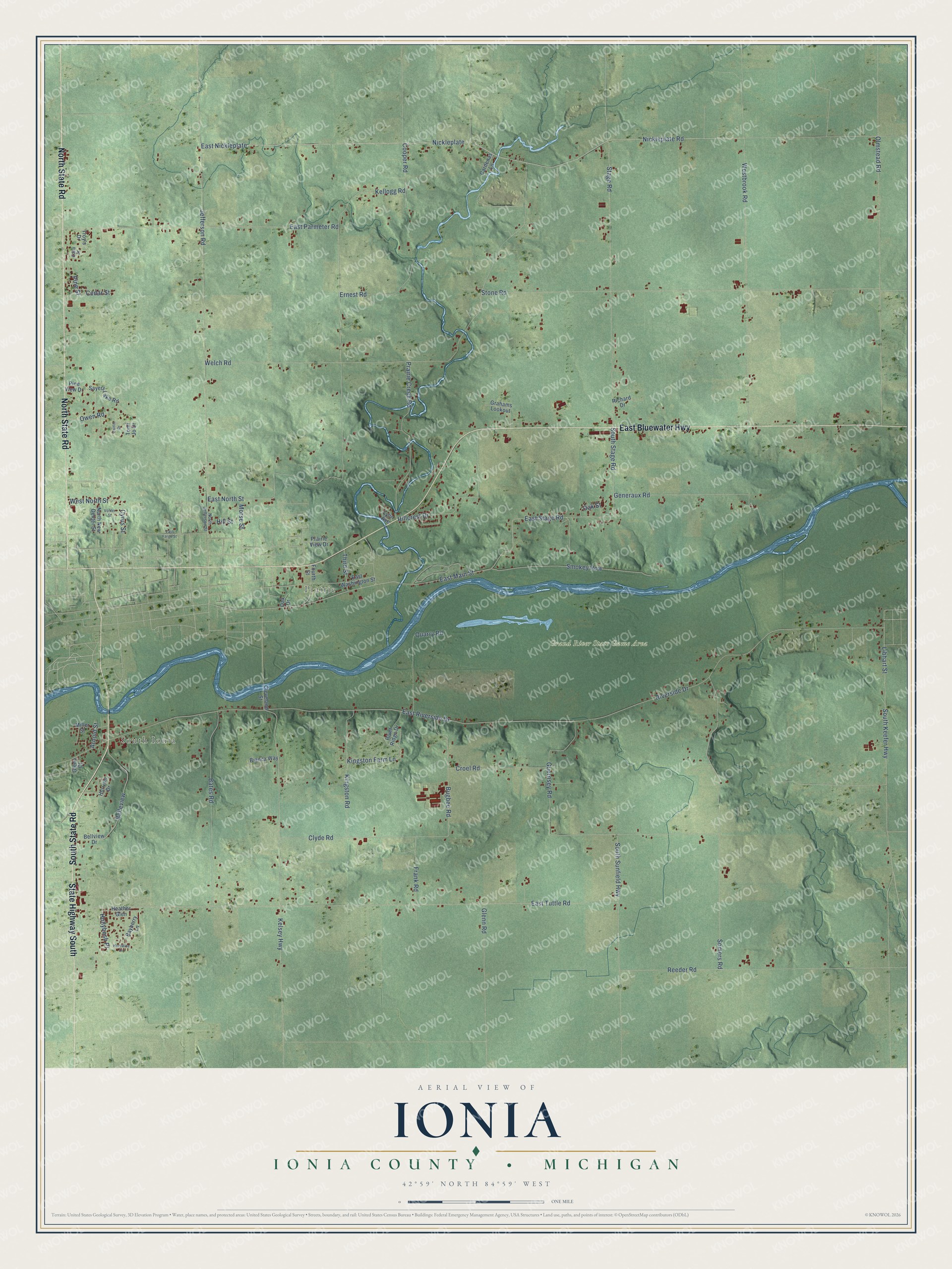
This beautifully detailed map of Ionia, Michigan was created in 2026 using aerial imagery combined with modern topographical, census, street and landmark data. It's a modern aerial view of Ionia in Ionia County, Michigan, that combines modern data with a vintage aesthetic. The roads feature printed names, and if you look closely you can find your exact house accurately shown in its correct location.
Explore an aerial view of Ionia, Michigan
On this map you'll find South Ionia, Prairie, Grand River State Game Area, North State Road, South State Road, State Highway South, East Bluewater Highway, East Main Street, East Stage Road, Libhart Street, East North Street, Hollybush Place, and more. Each red shape is a building, so zoom in on the preview and look for yours.
Here is a piece of Ionia history, in the words of the record. The History of Ionia County puts it this way: "The county was organized in 1837 and on March 11, of that year, was divided into two townships, Ionia and Maple. Ionia township embraced all that portion of the county of Ionia lying west of the sectional lines running north and south through the center of townships 5, 6, 7 and 8 north, of range 6 west."
The Census Bureau counted 3,961 people here in 2020.
Take a closer look at the Ionia map
Names on this map
These names are printed on this map.
Places: South Ionia, Prairie and Grand River State Game Area.
Streets and roads: North State Road, South State Road, State Highway South, East Bluewater Highway, East Main Street, East Stage Road, Libhart Street, East North Street, Hollybush Place, Owen Road, Nickleplate Road, East Nickleplate.
More street names, A to Z
Arnold Street, Bates Road, Bayberry Lane, Belleview, Bellview Drive, Bianca Way, Bugbee Road, Caitlin Drive, Cardenas Lane, Cedar Street, Cleveland Street, Clyde Road, Cooper Road, Croel Road, Cyrus Street, East Fargo Street, East Parmeter Road, East Riverside Drive, East Tuttle Road, East Washington Street, Edna Street, Ernest Road, Fourth Street, Frank Road, Generaux Road, Glenn Court, Glenn Road, Grahams Lookout, Guernsey Road, Hazeltine Lane, Heather Glen, Hillcrest Drive, Hill Street, Horizon Drive, Jefferson Road, Kellogg Road, Kelsey Highway, Kingston Farm Lane, Kingston Road, Lynn Avenue, Miller Street, Morse Street, Nickleplate, North Jefferson Street, North New Dexter Street, Oak Drive, Oak Street, Olmstead Road, Pine Street, Pine View Drive, Prairie Creek Road, Prairie View Drive, Quarry Road, Reeder Road, Richard Drive, River Ridge Drive, Riverside Drive, Sayers Lake Road, Smokey Row, Somers Road, South Keefer Highway, South Stage Road, South Sunfield Highway, Stage Road, Stone Road, Third Street, Tomi Jo Drive, Troy's Drive, Vohler Street, Welch Road, Westbrook Road, West North Street.
Created by KNOWOL in 2026. The buildings are small red shapes, the roads carry their printed names, and shaded relief shows the shape of the land. The title panel reads "AERIAL VIEW OF IONIA, IONIA COUNTY • MICHIGAN" with 42°59' NORTH 84°59' WEST.
It suits a den, a classroom or a front hall, and it makes a gift for anyone with Ionia roots. Open the preview and find the block you know. See sizes and frames for the Ionia, Ionia County map.