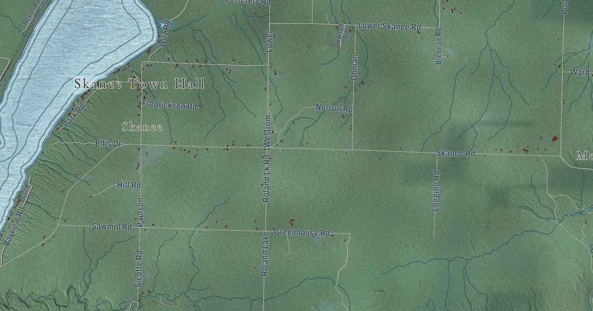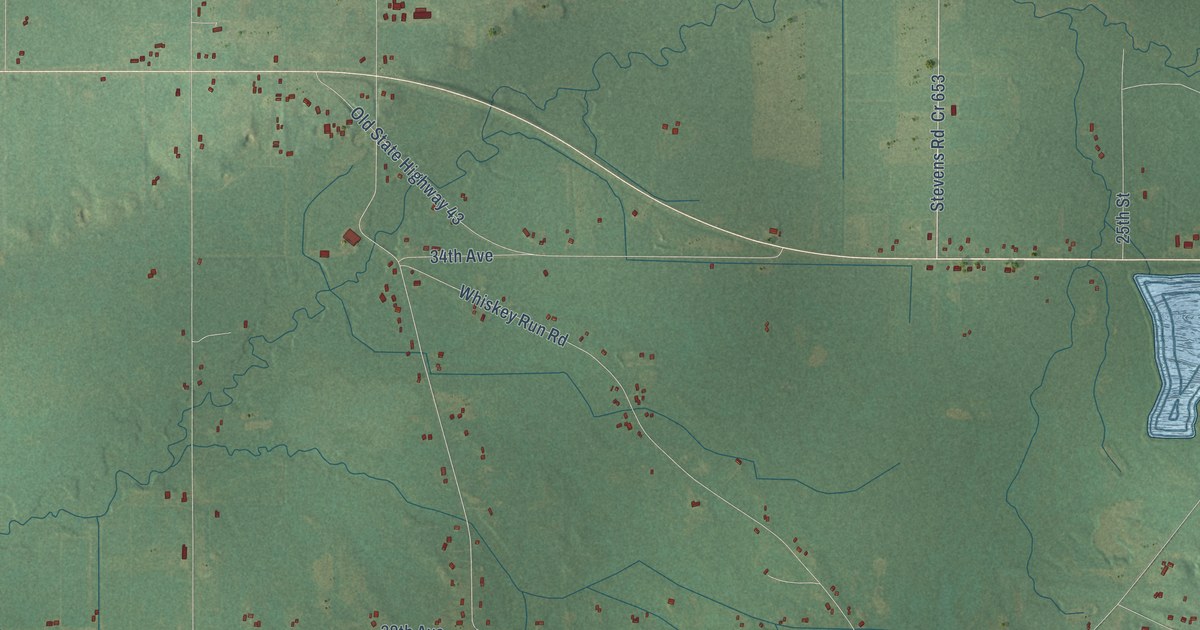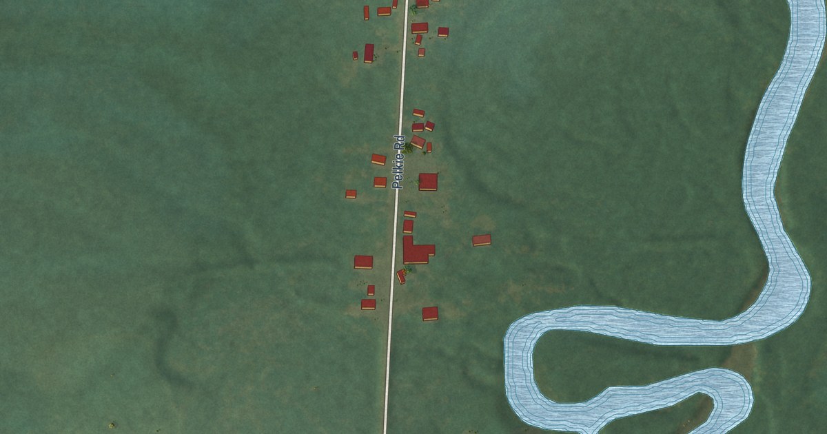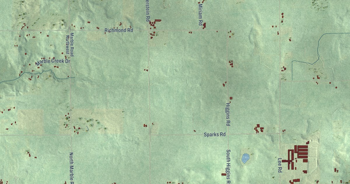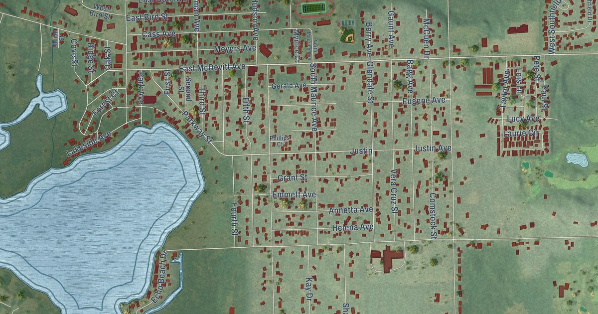
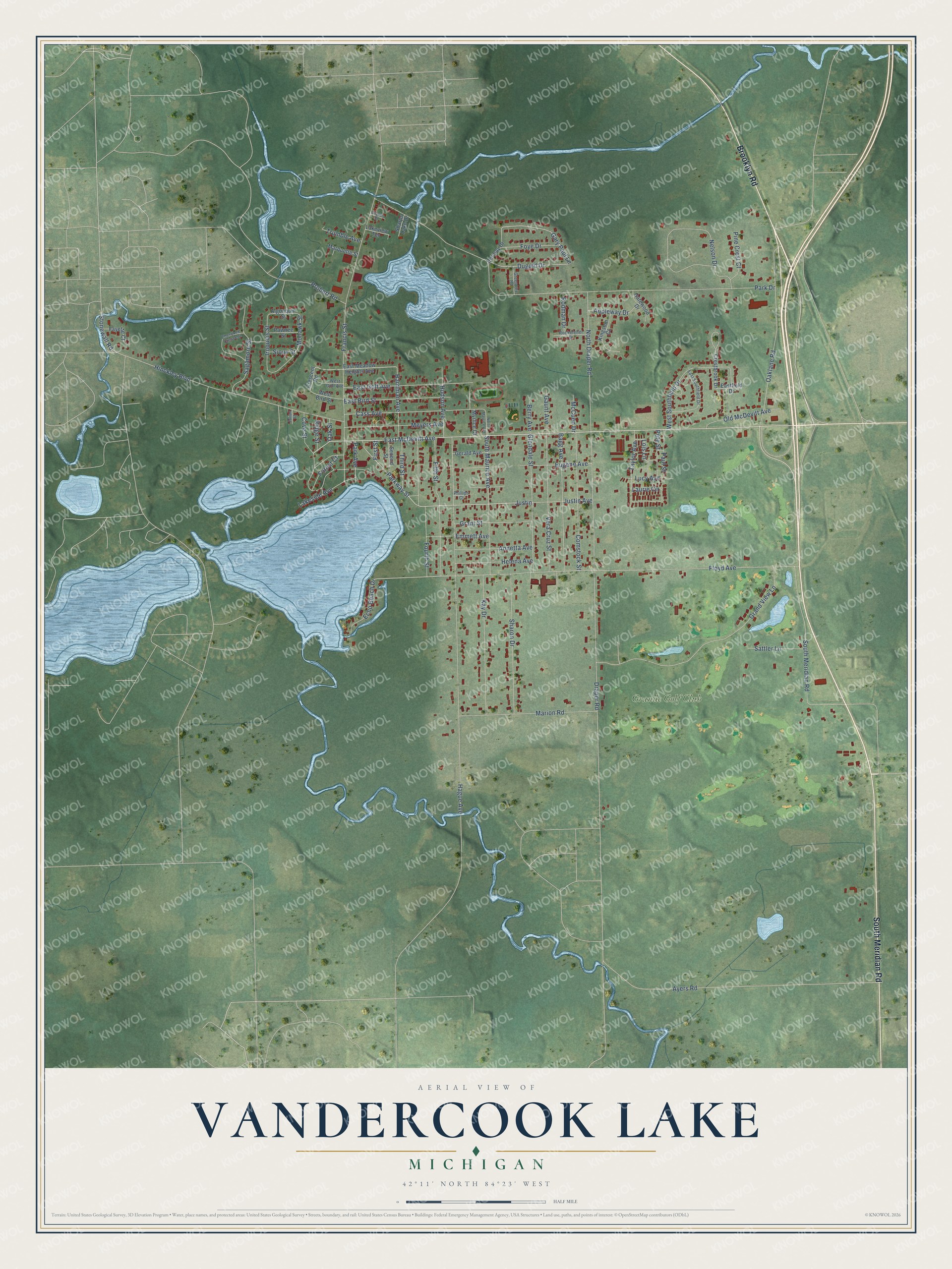
This beautifully detailed map of Vandercook Lake, Michigan was created in 2026 using aerial imagery combined with modern topographical, census, street and landmark data. It's a modern aerial view of Vandercook Lake in Jackson County, Michigan, that combines modern data with a vintage aesthetic. The roads feature printed names, and if you look closely you can find your exact house accurately shown in its correct location.
Explore an aerial view of Vandercook Lake, Michigan
On this map you'll find Grande Golf Club, South Meridian Road, Brooklyn Road, East McDevitt Avenue, Justin Avenue, Justin, Parkway Street, Stonewall Road, Gary Paul Lane, Duguid Drive, Draper Road, Park Drive, and more. Each red shape is a building, so zoom in on the preview and look for yours.
Vandercook Lake is a community in Jackson County. The Census Bureau counted 4,579 people here in 2020. Vandercook Lake sits about 4 miles south of Jackson, 4 miles southwest of Michigan Center and 7 miles west of Napoleon. The map prints the town name in its title panel, with the coordinates below it.
Take a closer look at the Vandercook Lake map
Names on this map
These names are printed on this map.
Places: Grande Golf Club.
Streets and roads: South Meridian Road, Brooklyn Road, East McDevitt Avenue, Justin Avenue, Justin, Parkway Street, Stonewall Road, Gary Paul Lane, Duguid Drive, Draper Road, Park Drive, Hague Avenue.
More street names, A to Z
Algonquin Street, Annetta Avenue, Appleway Drive, Ayers Road, Bagg Avenue, Berry Avenue, Cass Avenue, Charles Street, Cherokee Crescent, Comstock Street, Cove Street, Crescent Road, Crestbrook Drive, Dormay Drive, East Bird Street, Eastfield Drive, East Golf Avenue, East Meadow Heights Avenue, East Southfield Drive, Echo Beach Drive, Emmett Avenue, Eugene Avenue, Fayette Court, Fifth Street, First Street, Floyd Avenue, Forest Court, Fourth Street, Foye Drive, Francis Street, Gatewood Drive, Gaunt Avenue, Gerald Avenue, Glendale Street, Grand View Lane, Grant Street, Greentree Road, Harriman Avenue, Helena Avenue, Hinckley Boulevard, Hudson Avenue, Iroquois Street, Julian Street, Kay Drive, Kingston Court, Lakeside Avenue, Lakeview Terrace, Laurie Circle, Lois Lane, Lucy Avenue, Marion Road, Marquette Street, McCuen Drive, Meyers Avenue, Mohawk Street, Myrlice Court, Nelson Drive, North Draper Road, North Maurice Avenue, Oaklane Road, Oak Street, Old McDevitt Avenue, Park Avenue, Paul Street, Pawnee Street, Pete Street, Phillips Court, Pine Crest Court, Probert Road, Ridge Street, Rockefeller Drive, Rodman Drive, Sagamore Street, Sattler Lane, Second Street, Sharon Drive, Sharps Lake Drive, Sioux Street, South Maurice Avenue, Taylor Avenue, Third Street, Trumble Avenue, Vera Cruz Street, West Bird Street, West Golf Avenue, West Southfield Drive.
See it on a wall
The Vandercook Lake map as a framed print. Swipe for more.


Created by KNOWOL in 2026. The buildings are small red shapes, the roads carry their printed names, and shaded relief shows the shape of the land. The title panel reads "AERIAL VIEW OF VANDERCOOK LAKE, MICHIGAN" with 42°11' NORTH 84°23' WEST.
It suits a den, a classroom or a front hall, and it makes a gift for anyone with Vandercook Lake roots. Open the preview and find the block you know. See sizes and frames for the Vandercook Lake map.