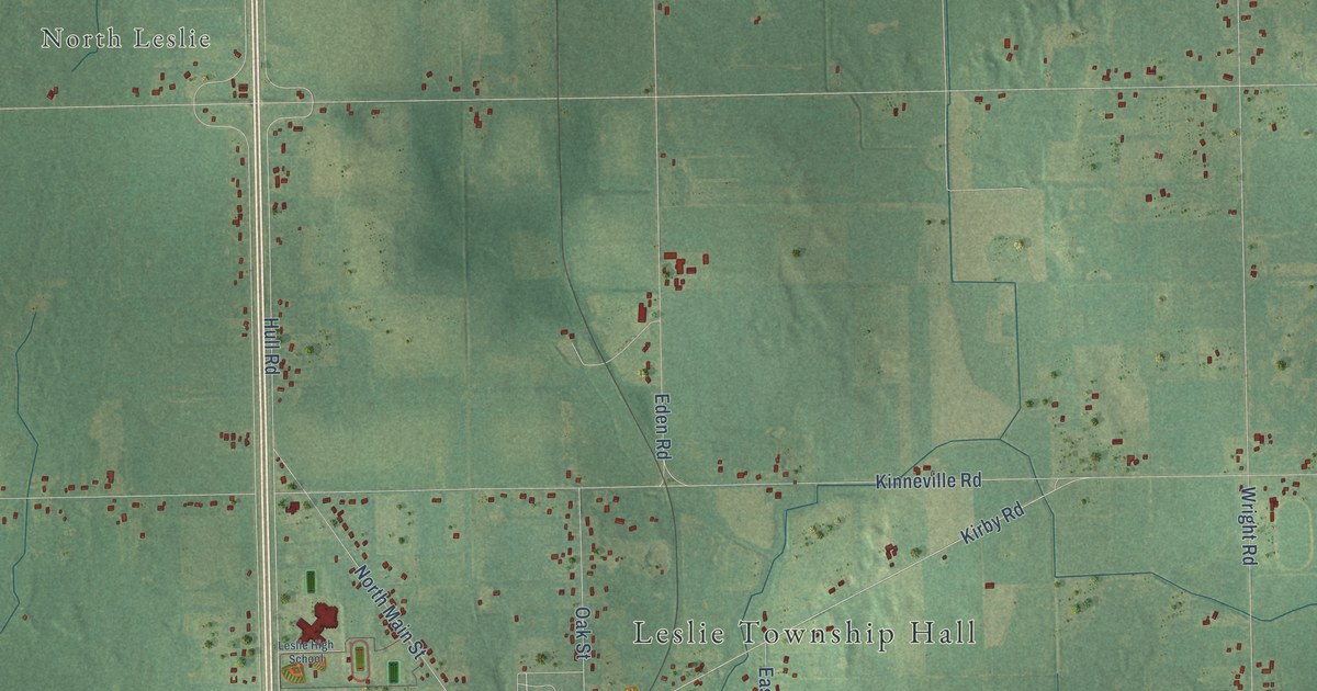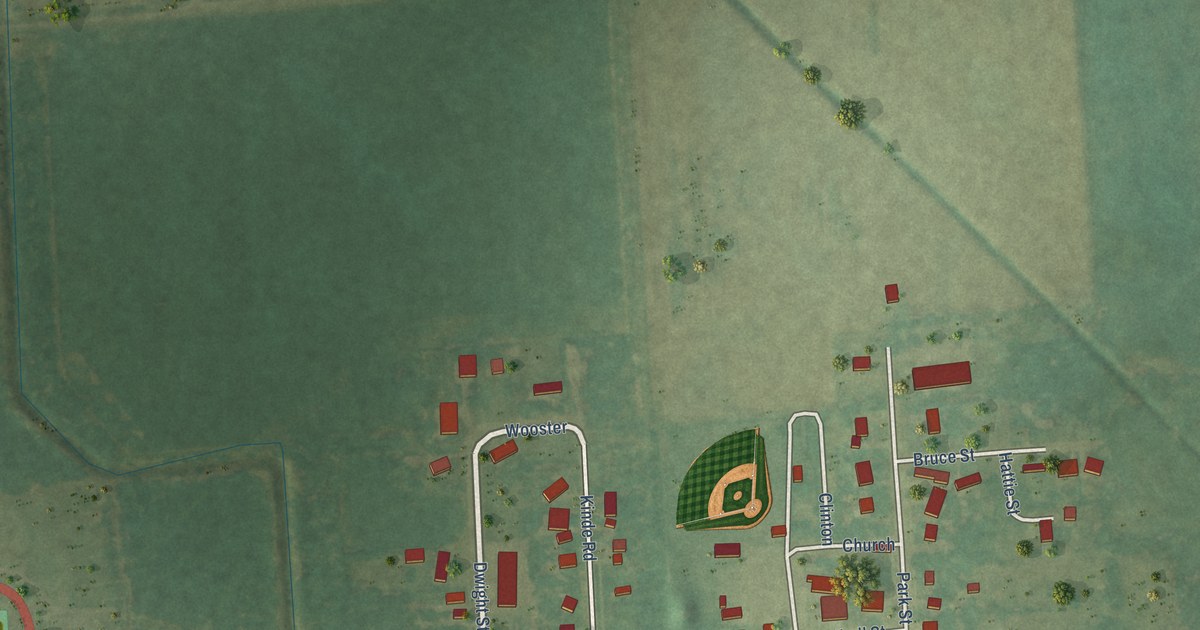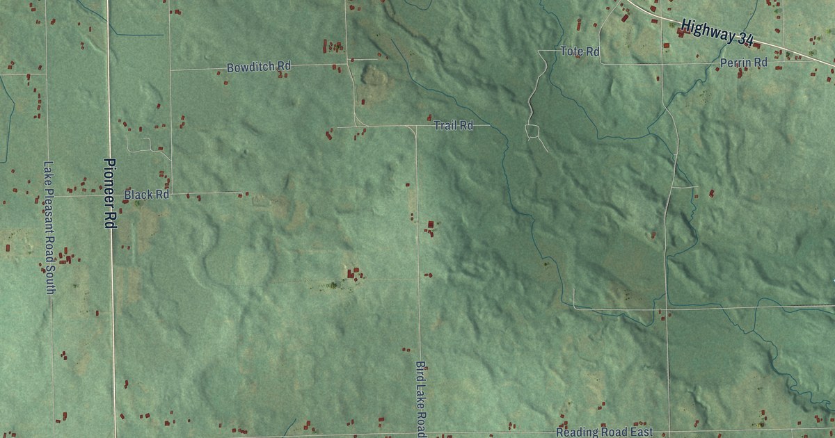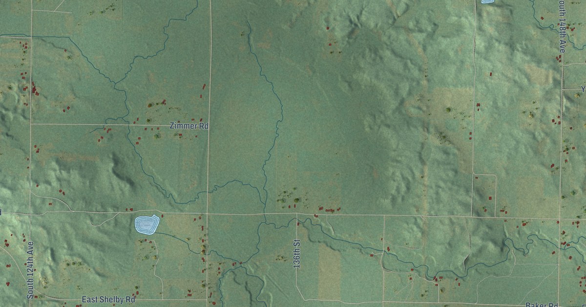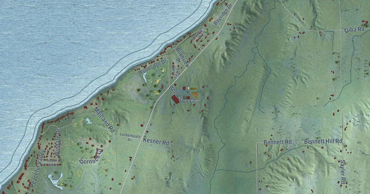
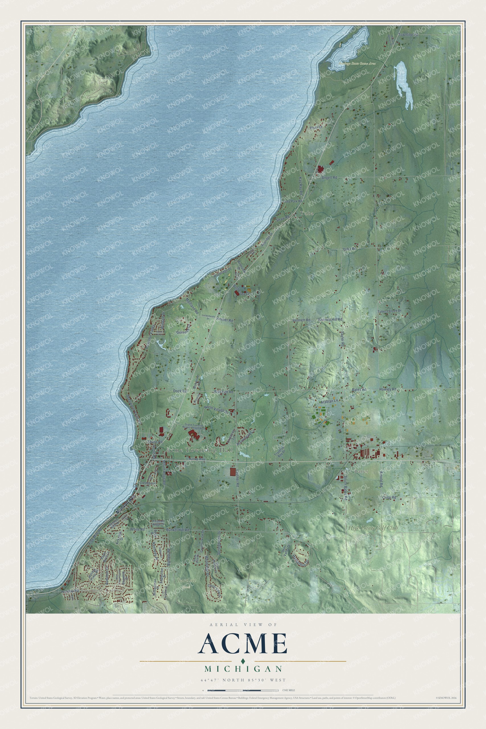
This beautifully detailed map of Acme, Michigan was created in 2026 using aerial imagery combined with modern topographical, census, street and landmark data. It's a modern aerial view of Acme in Grand Traverse County, Michigan, that combines modern data with a vintage aesthetic. The roads feature printed names, and if you look closely you can find your exact house accurately shown in its correct location.
Explore an aerial view of Acme, Michigan
On this map you'll find Acme Township Hall, Fivemile Corner, Bates, Yuba, Bartlett Park, Petobego State Game Area, High Pointe Golf Club, Munson Avenue, North Village Drive, Kay Ray Road, Arnold Road, Shaw Road, and more. Each red shape is a building, so zoom in on the preview and look for yours.
Acme has a story worth telling. The Sprague's History of Grand Traverse puts it this way: "Acme village is a station on the Pere Marquette Railroad, seven miles east of Traverse City."
The Census Bureau counted 4,456 people here in 2020.
Take a closer look at the Acme map
Names on this map
These names are printed on this map.
Places: Acme Township Hall, Fivemile Corner, Bates, Yuba, Bartlett Park, Petobego State Game Area and High Pointe Golf Club.
Streets and roads: Munson Avenue, North Village Drive, Kay Ray Road, Arnold Road, Shaw Road, Bates Road, Bunker Hill Road, Lautner Road, Sayler Road, Brackett Road, Yuba Road, Bennett Hill Road.
More street names, A to Z
Acme Road, Andorra Drive, Angell Road, Arabian Lane, Arrowhead Circle, Arthur Court, Audubon Drive, Bartlett Road, Bayridge Drive, Baywood Drive, Bennett Road, Bethesda Court, Birchview Drive, Brook View Drive, Cabana Shores Drive, Circle View Drive, Country View Drive, Cranberry Lane, Cresthaven Lane, Crisp Road, Crockett Road, David Drive, Deepwater Point Road, Deer Valley Drive, Dock Road, Dornoch Court, Eaglecrest Drive, Five Mile Road, Grand Traverse Resort Village Boulevard, Hampshire Drive, Haven Hill Lane, Hawley Road, Hilltop Way, Holiday Pines Road, Holiday Road, Kennedy Place, Kesner Road, Kirkridge Drive, Lochenheath Drive, Maitland Road, Mount Hope Road, Paper Birch Lane, Park Lane, Peaceful Valley, Pleasant Ridge Drive, Plum Drive, Ridge Road, Scenic Hills Drive, Shore Road, Singletree Lane, South Bates Road, South Rainbow Court, Springbrook Drive, Stites Drive, Sun Bay Court, Tobeco Creek Drive, Townline Road, Traverse Bay Drive, Westridge Drive, West Timberwood Drive, White Road, Williamston Court, Windale Drive, Wolverine Drive, Wolverine Vw, Woodridge Drive, Yuba Park Road.
Created by KNOWOL in 2026. The buildings are small red shapes, the roads carry their printed names, and shaded relief shows the shape of the land. The title panel reads "AERIAL VIEW OF ACME, MICHIGAN" with 44°47' NORTH 85°30' WEST.
It looks right in a kitchen, an office or a den, and it's a gift for anyone who grew up in Acme or moved away. Open the preview and find your street. See sizes and frames for the Acme map.