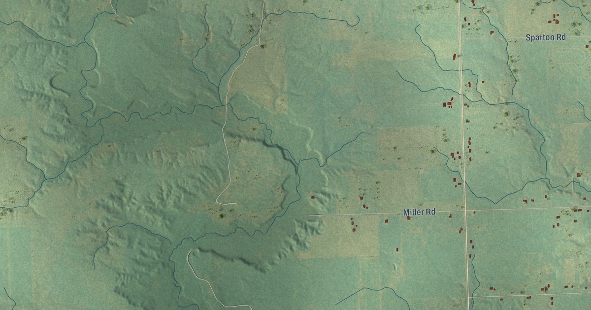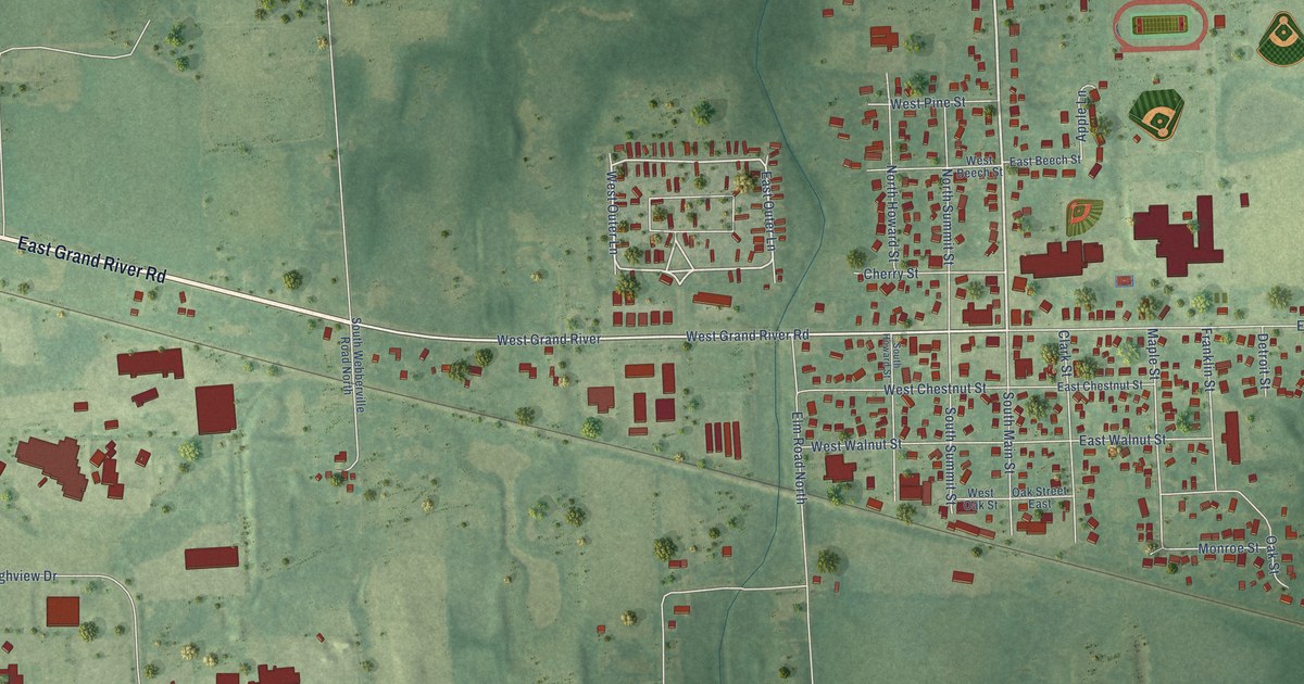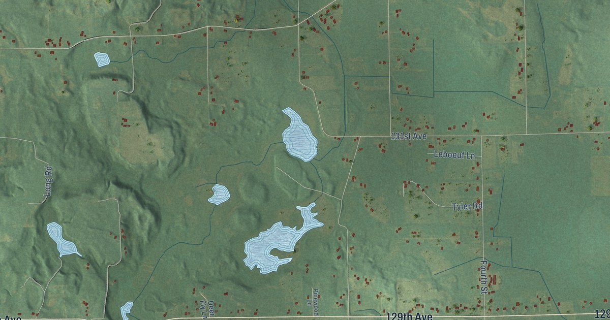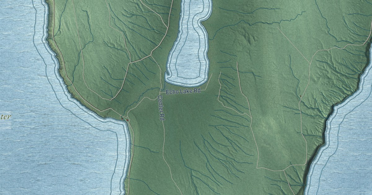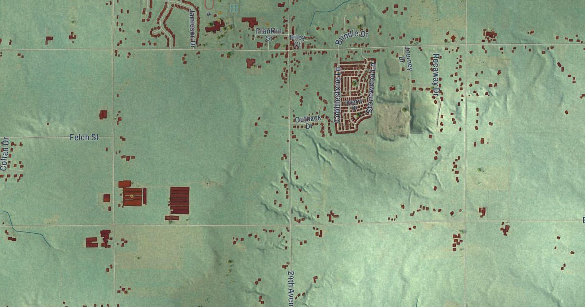
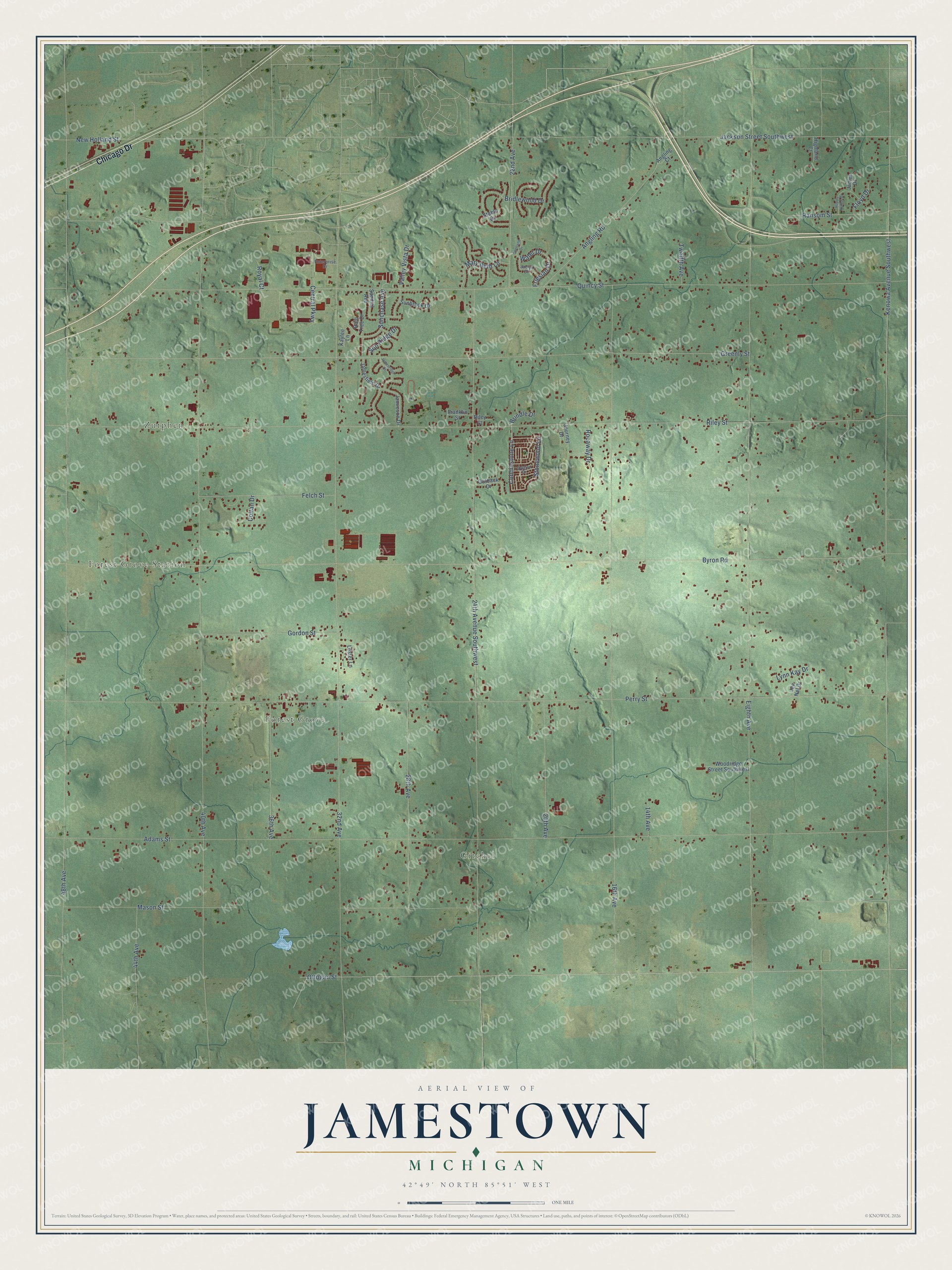
This beautifully detailed map of Jamestown, Michigan was created in 2026 using aerial imagery combined with modern topographical, census, street and landmark data. It's a modern aerial view of Jamestown in Ottawa County, Michigan, that combines modern data with a vintage aesthetic. The roads feature printed names, and if you look closely you can find your exact house accurately shown in its correct location.
Explore an aerial view of Jamestown, Michigan
On this map you'll find Zutphen, Gitchel, Forest Grove Station, Forest Grove, Chicago Drive, Cobblestone Lane, Stonewood Lane, 48th Avenue, Eighth Avenue, Adams Street, Perry Street, Riley Street, and more. Each red shape is a building, so zoom in on the preview and look for yours.
Jamestown has a story worth telling. The History of Ottawa County puts it this way: "Jamestown was surveyed as early as 1831, but not till about 1844 did it receive any permanent settlers. In that year James Conkwright settled on Sec. 11, built the first house, and commenced clearing."
The Census Bureau counted 9,630 people here in 2020.
Take a closer look at the Jamestown map
Names on this map
These names are printed on this map.
Places: Zutphen, Gitchel, Forest Grove Station and Forest Grove.
Streets and roads: Chicago Drive, Cobblestone Lane, Stonewood Lane, 48th Avenue, Eighth Avenue, Adams Street, Perry Street, Riley Street, Byron Road, 40th Avenue, Kenowa Avenue Southwest, Quincy Street.
More street names, A to Z
14th Avenue, 16th Avenue, 20th Avenue, 22nd Avenue, 24th Avenue Southwest, 28th Avenue, 32nd Avenue, 36th Avenue, 44th Avenue, Angling Court, Angling Road, Bridlewood Drive, Brindle Drive, Central Parkway, Coltan Drive, Enterprise Drive, Felch Street, Floyd Drive, Franklin Street, Friesian Drive, Gordon Street, Greenly Street, Happy Hollow Drive, Highland Court, Jackson Street Southwest, Jaclyn Drive, James Drive, Jamesfield Drive, Jamesridge Drive, Jamieson Drive, Jen Nel Drive, Journey Drive, Kaylee Lane, Lester Lane, Lynn Kay Drive, Mary Beth Lane, Mason Street, New Holland Street, Ottogan Street, Outback Drive, Quarry Drive, Rain Tree Drive, Ransom Street, Riley Court, Rocaway Drive, Royal Court, Shetland Drive, Stable Drive, Sunbrook Drive, Sunchase Avenue, Sundial Avenue, Sun Ridge Drive, Twelfth Avenue, Valley Vista Drive, Waler Drive, Woodridge Street Southwest.
Created by KNOWOL in 2026. The buildings are small red shapes, the roads carry their printed names, and shaded relief shows the shape of the land. The title panel reads "AERIAL VIEW OF JAMESTOWN, MICHIGAN" with 42°49' NORTH 85°51' WEST.
It looks right in a kitchen, an office or a den, and it's a gift for anyone who grew up in Jamestown or moved away. Open the preview and find your street. See sizes and frames for the Jamestown map.