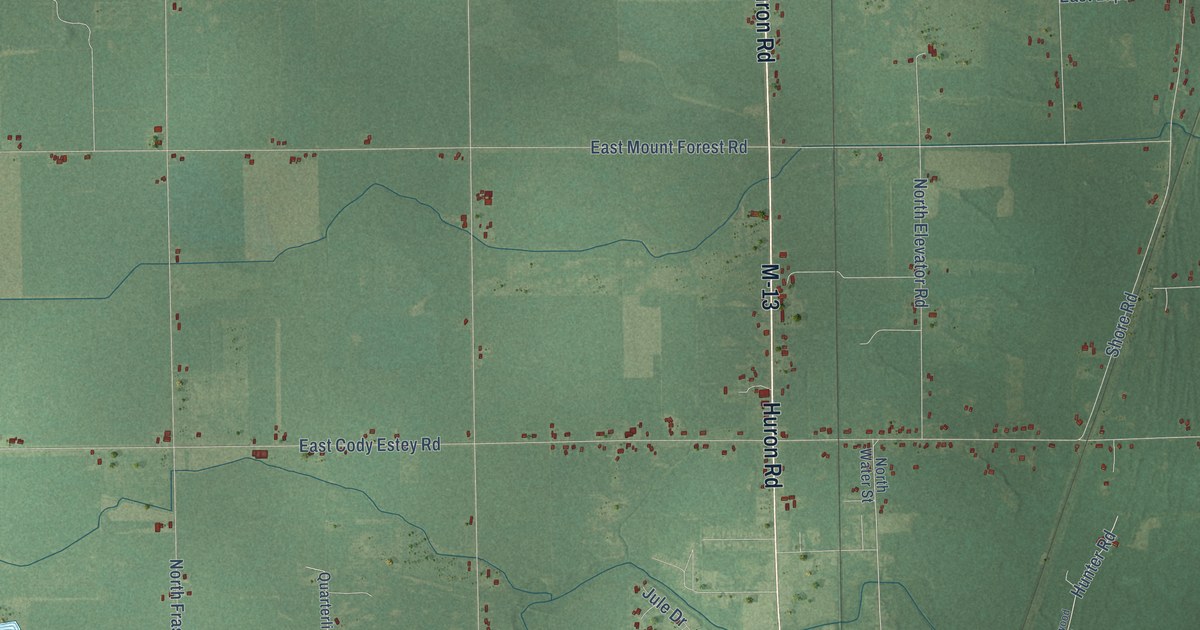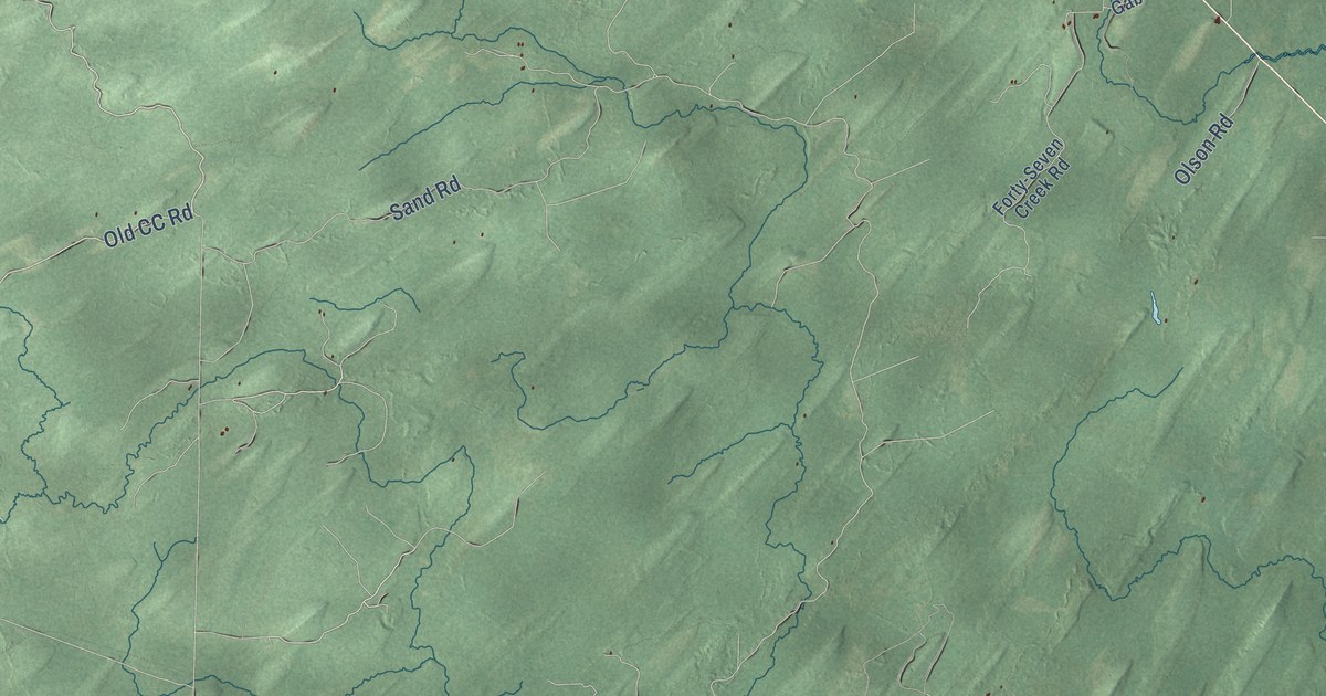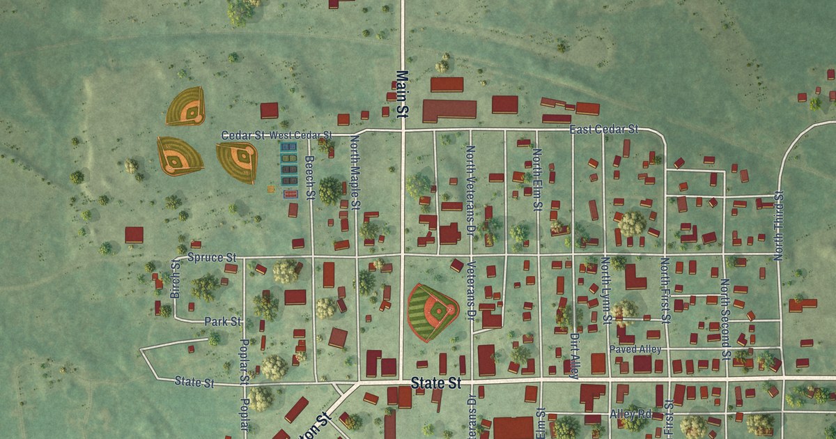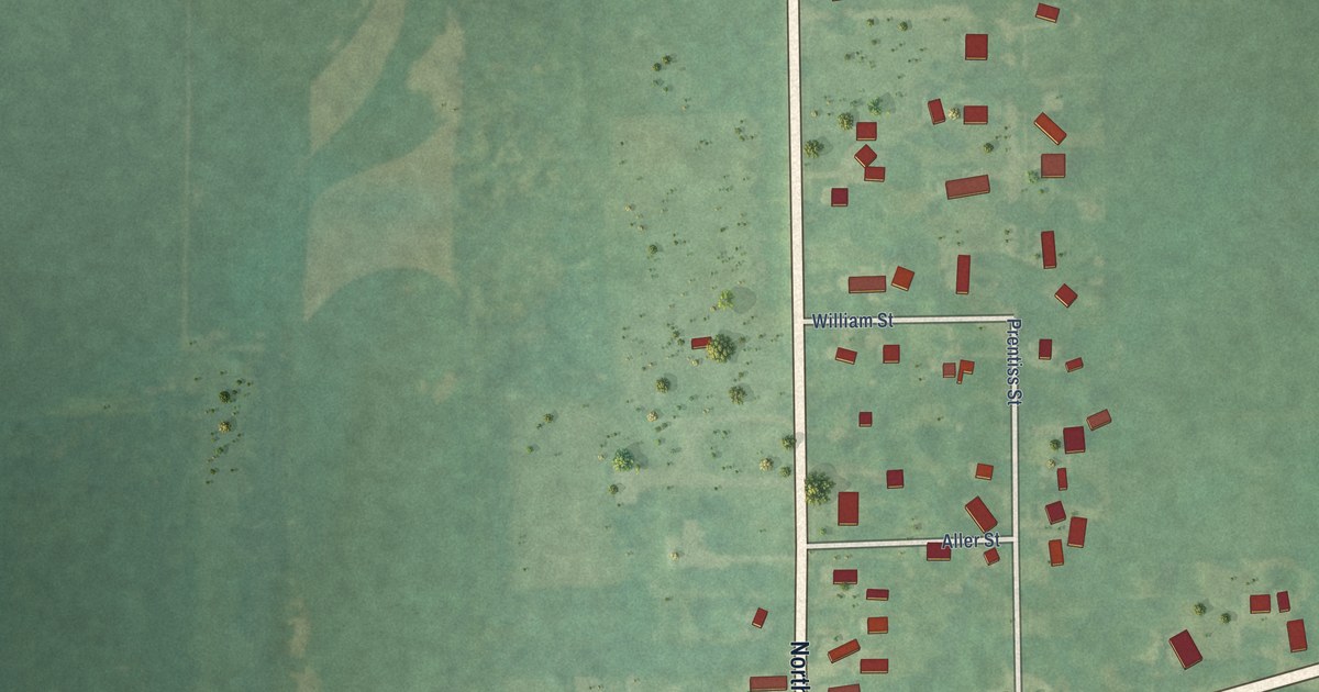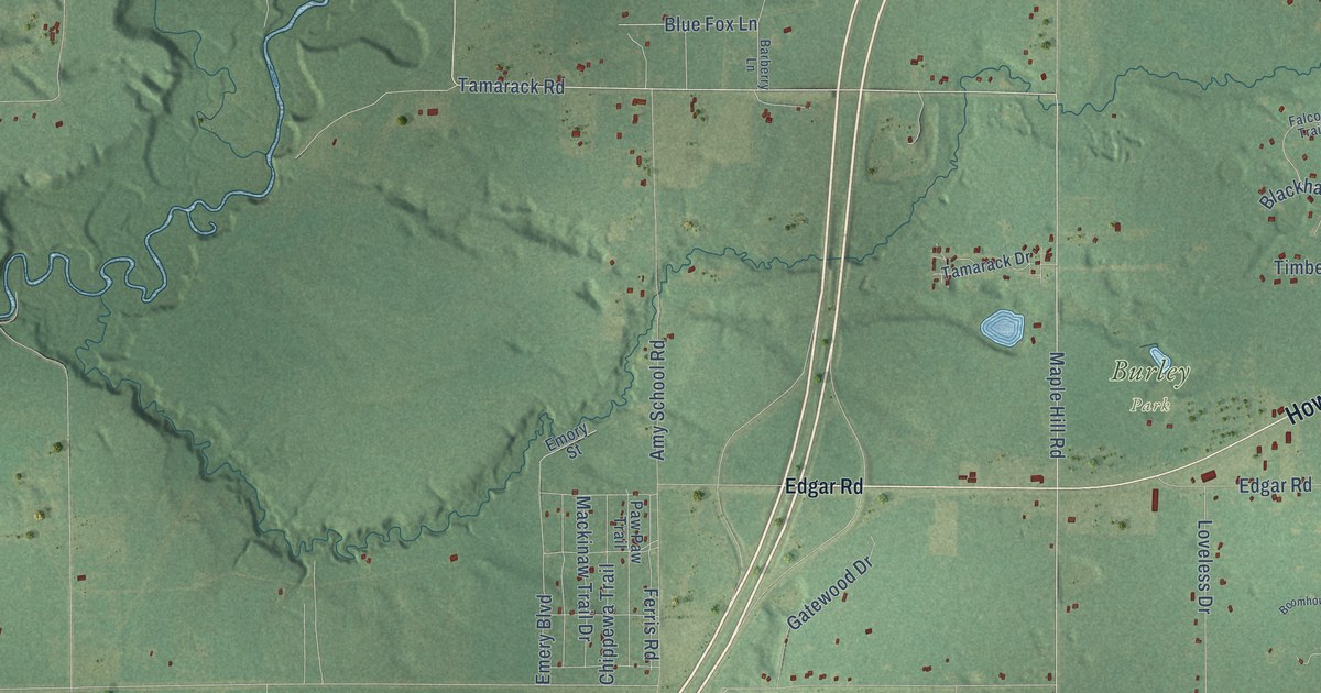
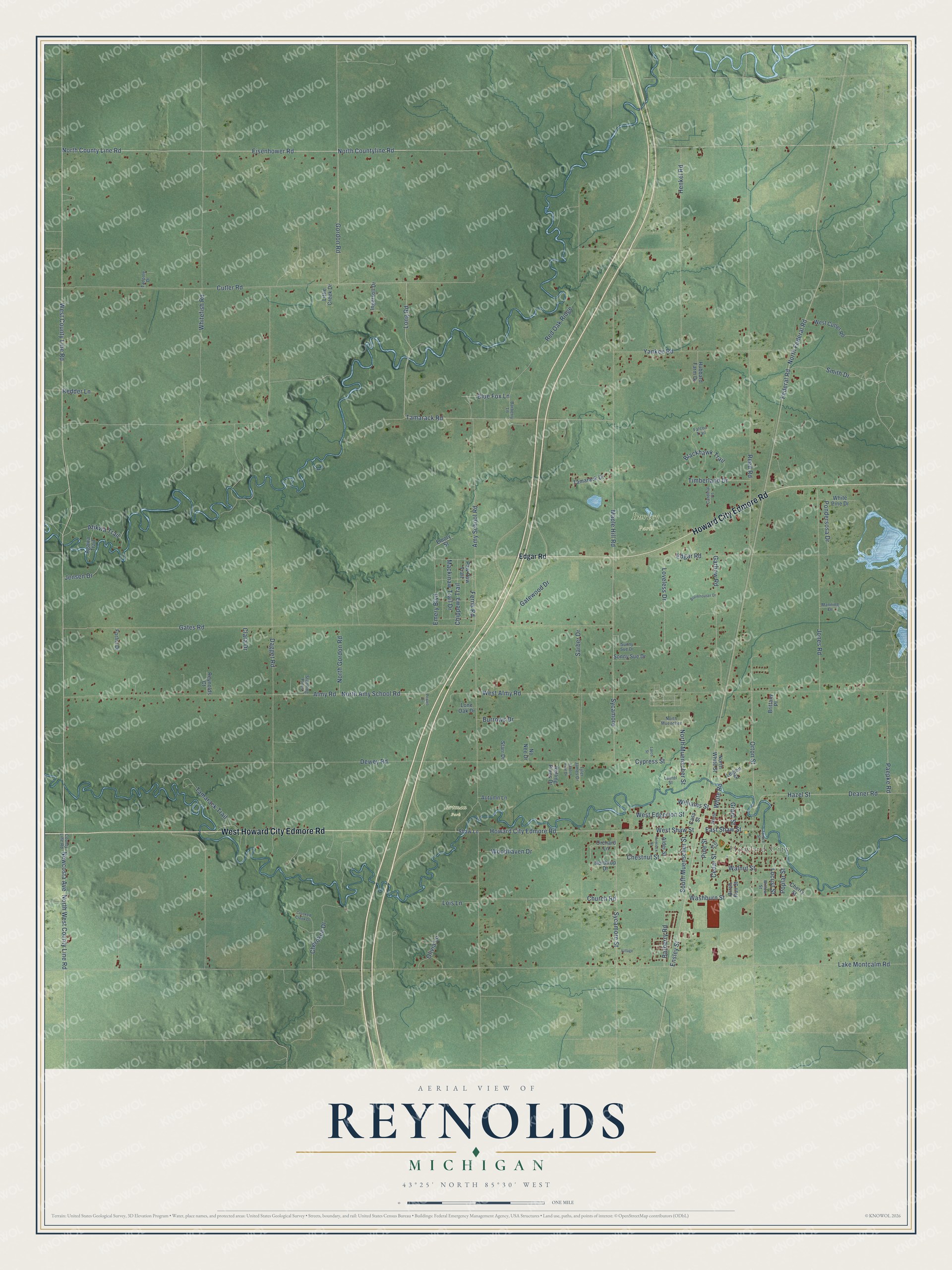
This beautifully detailed map of Reynolds, Michigan was created in 2026 using aerial imagery combined with modern topographical, census, street and landmark data. It's a modern aerial view of Reynolds in Montcalm County, Michigan, that combines modern data with a vintage aesthetic. The roads feature printed names, and if you look closely you can find your exact house accurately shown in its correct location.
Explore an aerial view of Reynolds, Michigan
On this map you'll find Howard City, Artman Park, Burley Park, West Howard City Edmore Road, Howard City Edmore Road, Newcosta Avenue, West County Line Road, Eisenhower Road, North County Line Road, North Countyline Road, Federal Road, West Shaw Street, and more. Each red shape is a building, so zoom in on the preview and look for yours.
Every town has a first chapter, and Reynolds is no exception. The History of Montcalm County puts it this way: "In the month of May, 1870, the first Sabbath school was organized in Reynolds in the dining room of the small hotel kept by William Edmondson. On the first day of meeting there was an attendance of seventeen scholars."
The Census Bureau counted 5,431 people here in 2020.
Take a closer look at the Reynolds map
Names on this map
These names are printed on this map.
Places: Howard City, Artman Park and Burley Park.
Streets and roads: West Howard City Edmore Road, Howard City Edmore Road, Newcosta Avenue, West County Line Road, Eisenhower Road, North County Line Road, North Countyline Road, Federal Road, West Shaw Street, Sycamore, North Federal Road, North West County Line Road.
More street names, A to Z
Agawa Trail, Alder Street, Almy Road, Amy School Road, Atikwa Trail, Autumn Lane, Barberry Lane, Barberry Road, Birch Run Street, Blackhawk Trail, Blue Fox Lane, Boomhouser Drive, Brittany Place, Burrows Drive, Cardinal Court, Cass Street, Cedar Street, Cherokee Drive, Cherry Street, Chestnut Street, Chippewa Trail, Church Road, Clara Drive, County Line Road, Crooked Creek Drive, Cutler Road, Cypress Street, Dagget Road, Deaner Road, Dewey Road, East Shaw Street, Edgar Road, Emery Boulevard, Emory Street, Ensley Street, Falcon Trail, Ferris Road, Forfra Drive, Garbow Road, Gates Road, Gatewood Drive, Gordon Road, Grant Street, Hazel Street, Hemlock Street, Henkel Road, Hubbard Farm Drive, Ingersoll Drive, Jensen Drive, Jones Road, Joy Street, Lake Montcalm Road, Larch Street, Laurel Street, Legion Street, Little Creek Drive, Locust Street, Lois Lane, Lone Oak Drive, Long Road, Loveless Drive, Mackinaw Trail Drive, Manning Drive, Maple Hill Road, No Nee Drive, North Amy School Road, North Gordon Road, North Muencher, North Muenscher Street, Northrup Drive, North White Street, Olivia Lane, Orchard Lane, Orton Street, Paepke Road, Paw Paw Trail, Pine Street, Pondersosa Drive, Poplar Street, Powell Drive, Redder Lane, Red Oak Ridge, Reed Road, Reynolds Court, Rolling Pines Drive, Sarber Drive, Scotch Pine Drive, Shaw Lane, Smith Drive, Sonny Sue Drive, South Muenscher Street, Spruce Street, Standing Pines, Starr Drive, Sunny Sue Drive, Sycamore Street, Tadpole Drive, Tamarack Drive, Tamarack Road, Tamarack Trail, Timberland Drive, Tyler James Drive, Village, Walnut Street, Washburn Street, West Almy Road, West Cutler Road, West Edgerton Street, White, Whitefish Road, White Pine Drive, White Road, Williams Street, Willow Street, Woodhaven Drive, Yankee Road.
See it on a wall
The Reynolds map as a framed print. Swipe for more.


Created by KNOWOL in 2026. The buildings are small red shapes, the roads carry their printed names, and shaded relief shows the shape of the land. The title panel reads "AERIAL VIEW OF REYNOLDS, MICHIGAN" with 43°25' NORTH 85°30' WEST.
Hang it in the hallway, the office or the cabin, or give it to someone who left Reynolds and still calls it home. Open the preview and look for a street you know. See sizes and frames for the Reynolds map.