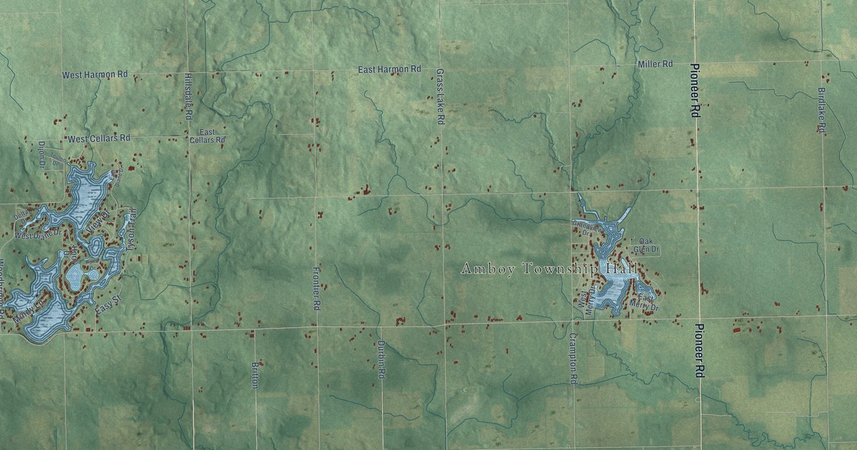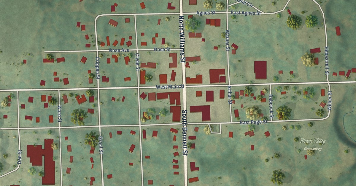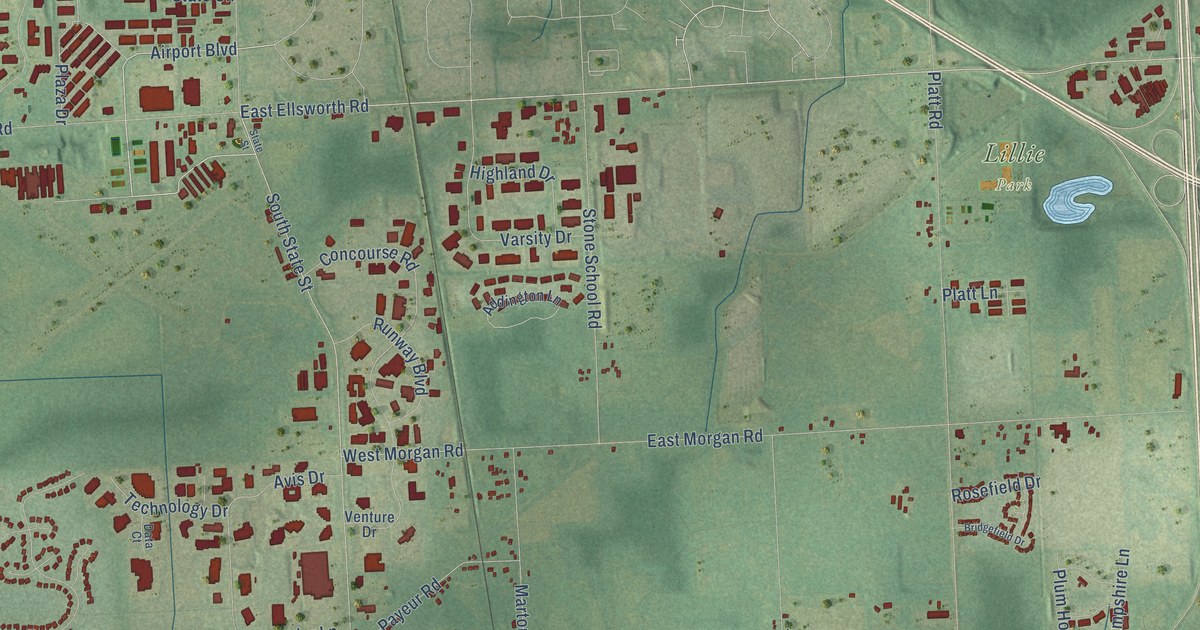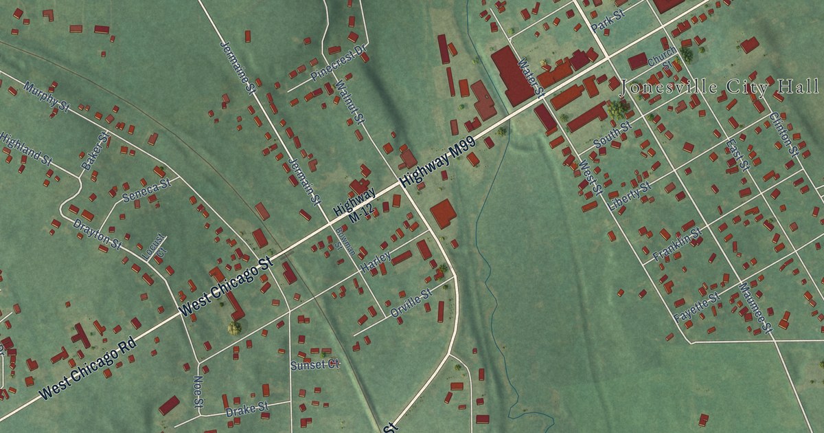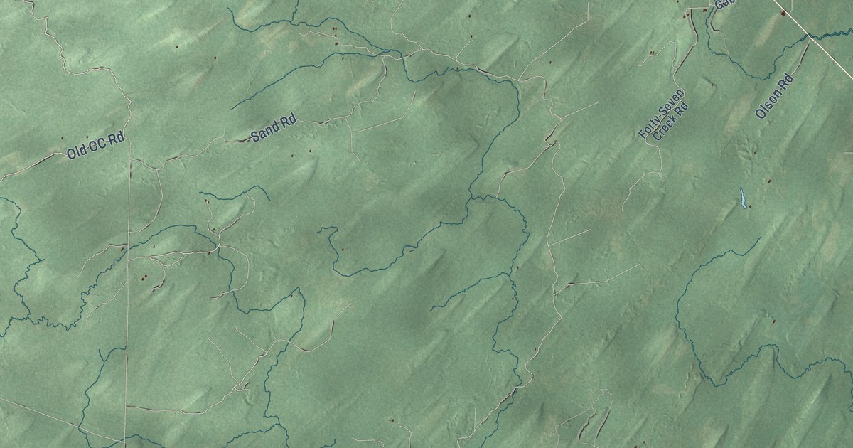
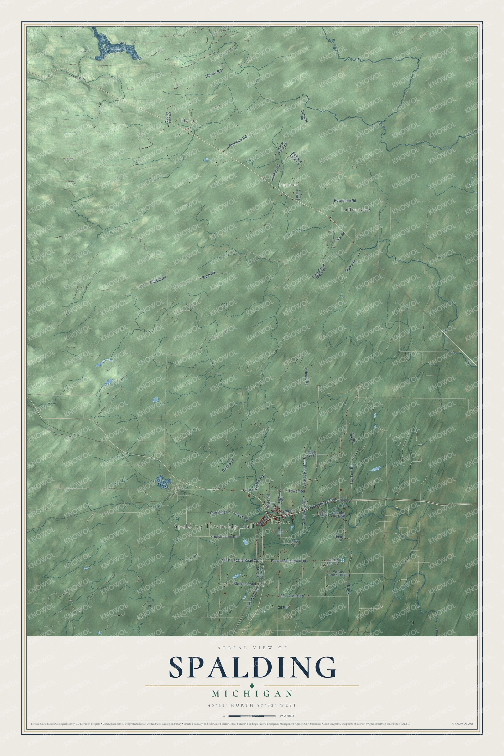
This beautifully detailed map of Spalding, Michigan was created in 2026 using aerial imagery combined with modern topographical, census, street and landmark data. It's a modern aerial view of Spalding in Menominee County, Michigan, that combines modern data with a vintage aesthetic. The roads feature printed names, and if you look closely you can find your exact house accurately shown in its correct location.
Explore an aerial view of Spalding, Michigan
On this map you'll find Spalding Township Hall, Helps, Powers, Faunus, LaBranche, Murray Road, Old CC Road, East Labelle Road 38, West Labelle Road 38, Tower Road, River Road, West Road, and more. Each red shape is a building, so zoom in on the preview and look for yours.
Spalding has a story worth telling. The History of the Northern Peninsula of Michigan puts it this way: "In 1874, Lemoyne, Hubbard & Wood, who then owned the mill already mentioned as having been purchased by them at Cedar river, built another mill at Spalding, a station on the Chicago & Northwestern Railway, where that road crosses the Cedar river, and, in the same year Sumner A. Benjamin built a shingle mill on the same railroad at a point eighteen miles north of Menominee."
The Census Bureau counted 1,599 people here in 2020.
Take a closer look at the Spalding map
Names on this map
These names are printed on this map.
Places: Spalding Township Hall, Helps, Powers, Faunus and LaBranche.
Streets and roads: Murray Road, Old CC Road, East Labelle Road 38, West Labelle Road 38, Tower Road, River Road, West Road, Swamp Road 42.5, Grondine Lane, Stebbins Road, Sand Road, County Highway 563.
More street names, A to Z
36 Road, 38.75 Lane, 41 Mile Road, Ashland Street, Behrend Road, Bergman Road, Bergman Road 1-5, Bergman Road I- 5, Birch Street, Burnt Knoll Road, County Highway 566, County Line Road, Dubois Place, Forty-Seven Creek Road, French Town Road, Gabor Road, Hillside Road 40, Juneau Road, Juneau Road 1.5, Kell Road, Kloman Road 37, Main Street, Maple Road, Old Highway 2 41, Old US 41 Road, Old US Highway 41, Olson Road, Powerline Road, Prech Lane, Qry Road, Road 42.5, Town Line Road, Twp Line Road, Veeser Lane 38, Vesser School 38 Road.
Created by KNOWOL in 2026. The buildings are small red shapes, the roads carry their printed names, and shaded relief shows the shape of the land. The title panel reads "AERIAL VIEW OF SPALDING, MICHIGAN" with 45°41' NORTH 87°32' WEST.
It looks right in a kitchen, an office or a den, and it's a gift for anyone who grew up in Spalding or moved away. Open the preview and find your street. See sizes and frames for the Spalding map.