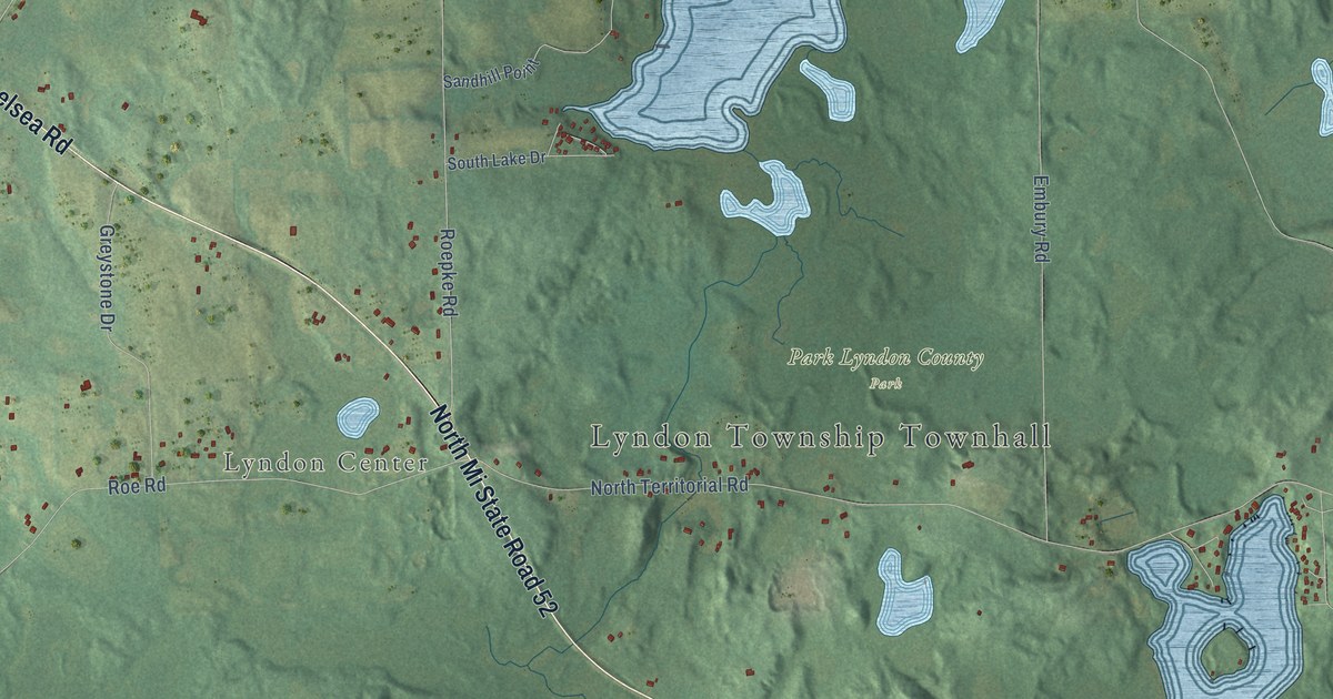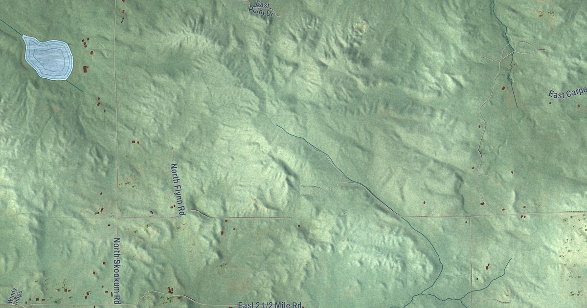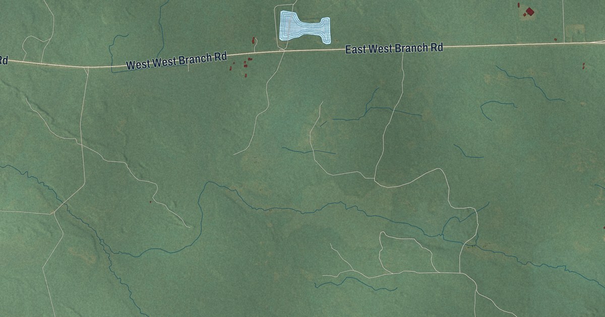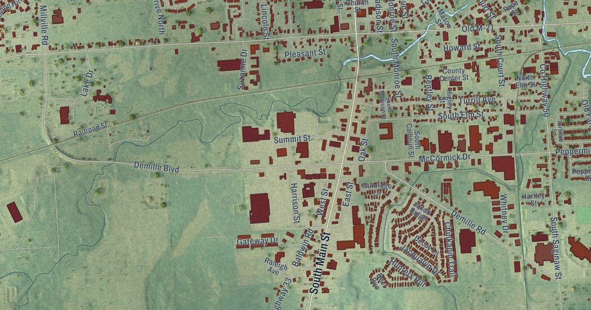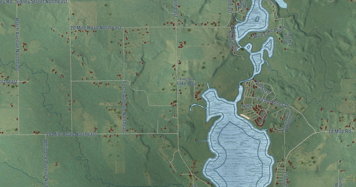
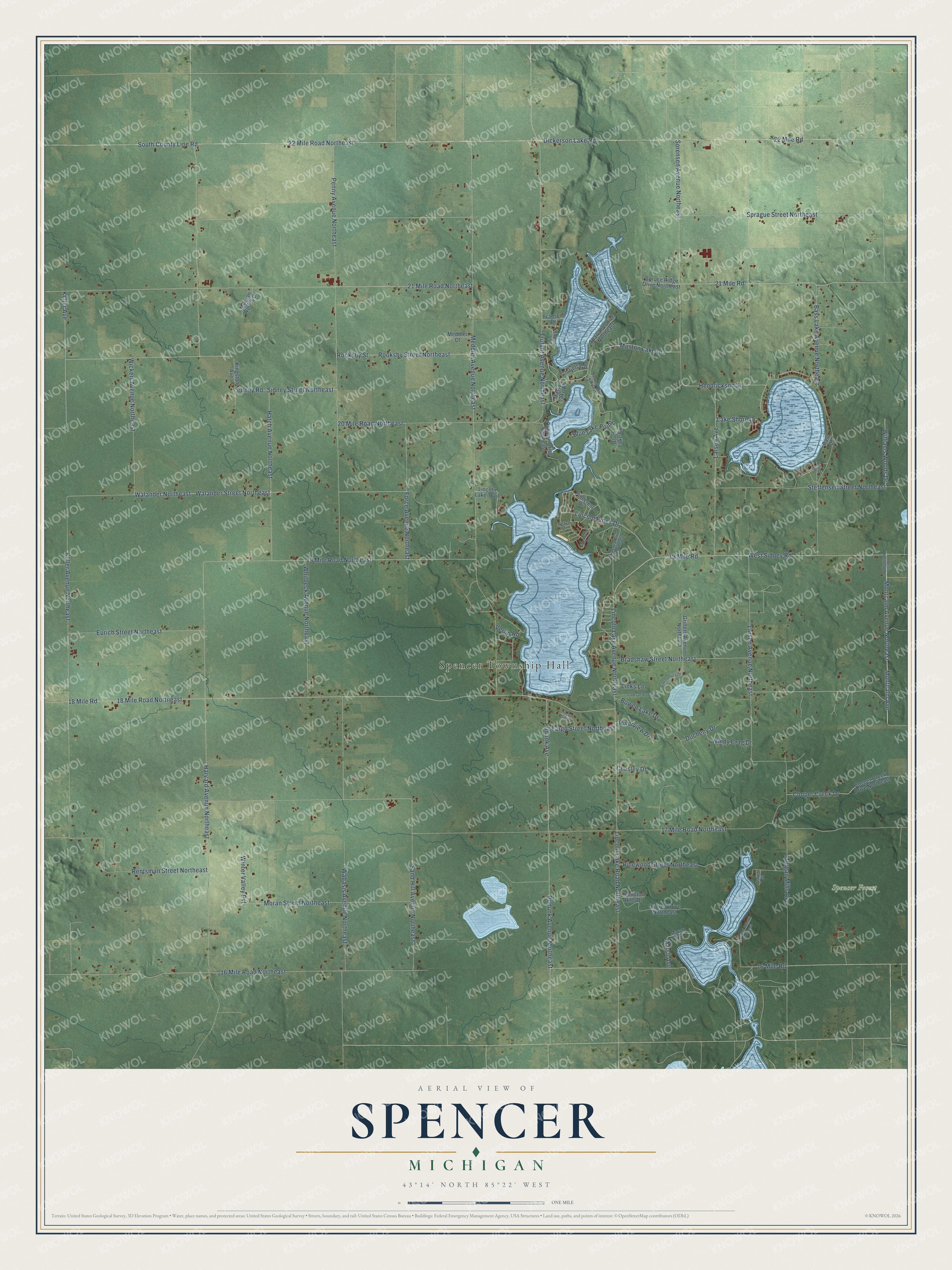
This beautifully detailed map of Spencer, Michigan was created in 2026 using aerial imagery combined with modern topographical, census, street and landmark data. It's a modern aerial view of Spencer in Kent County, Michigan, that combines modern data with a vintage aesthetic. The roads feature printed names, and if you look closely you can find your exact house accurately shown in its correct location.
Explore an aerial view of Spencer, Michigan
On this map you'll find Spencer Township Hall, Spencer Forest, 19 Mile Road Northeast, West Sidney Road, Lincoln Pines Drive, 16 Mile Road Northeast, 16 Mile Road, 19 Mile Road, 21 Mile Road, 21 Mile Road Northeast, Montcalm Avenue Northeast, Walander Street Northeast, and more. Each red shape is a building, so zoom in on the preview and look for yours.
Spencer has a story worth telling. The Grand Rapids and Kent County puts it this way: "The township was organized in 1861 under the name of Celsus, but the name was later changed to Spencer, in honor of Thomas Spencer, one of the early settlers."
The Census Bureau counted 4,163 people here in 2020.
Take a closer look at the Spencer map
Names on this map
These names are printed on this map.
Places: Spencer Township Hall and Spencer Forest.
Streets and roads: 19 Mile Road Northeast, West Sidney Road, Lincoln Pines Drive, 16 Mile Road Northeast, 16 Mile Road, 19 Mile Road, 21 Mile Road, 21 Mile Road Northeast, Montcalm Avenue Northeast, Walander Street Northeast, Blue Lake Point, Walander Northeast.
More street names, A to Z
17 Mile Road Northeast, 18 Mile Road, 18 Mile Road Northeast, 20 Mile Road Northeast, 22 Mile Road, 22 Mile Road Northeast, Analon Street, Bass Drive, Bass Lake Avenue Northeast, Beach Drive, Black Lake Cv, Bowen Lake Drive, Bradshaw Street Northeast, Chesley Drive, Cooper Creek Drive, Cooper Creek Drive Northeast, Dickerson Lake Road, Ducheny Drive, Eurich Street Northeast, Fargo Street Northeast, Findley Drive Northeast, Force Avenue Northeast, Fransen Drive, Glastonbury Drive, Glorietta Drive, Goodwood Drive, Griffeth Avenue Northeast, Hamilton Hills Drive, Harvard Avenue Northeast, Hatch Avenue Northeast, Hendrickson Street, Jewett Street, Keller Avenue, Keller Avenue Northeast, Kingston Avenue, Lake Shore Drive, Larsen Avenue, Larsen Avenue Northeast, Lincoln Lake Avenue Northeast, Lincoln Lake Road Northeast, Lincoln Lake Trail, Lincoln Park Drive, Links Lane, Links of Bowen Court, Marsh Avenue, Marsh Road, Maston Lake Drive, Maston Lake Road, Meddler Avenue Northeast, Meddler Court, Minerva Drive Northeast, Montcalm Avenue, Moran Street Northeast, Morgan Mills Avenue, Morgan Woods Drive, Oakcrest Avenue Northeast, Oakman Drive Northeast, Penny Avenue Northeast, Pinecrest Drive, Pinewood Street Northeast, Podunk Avenue, Podunk Avenue Northeast, Rentsman Street Northeast, Riverview Drive, Rooksby Street, Rooksby Street Northeast, Sand Hill Avenue Northeast, Shawano Drive Northeast, Sidney Road, Sidney Street Northeast, Sorensen Avenue Northeast, South County Line Road, Sprague Street Northeast, Spruce Ridge Drive Northeast, Steffensen Street Northeast, Trufant Avenue Northeast, Ungrey Drive Northeast, Verlin Road, Wabasis Avenue Northeast, Walnut Street, West Montcalm Road, Whitbeck Avenue Northeast, Wickert Avenue Northeast, Williams Woods Drive, Windy Crag Drive, Winter Valley Pvt.
Created by KNOWOL in 2026. The buildings are small red shapes, the roads carry their printed names, and shaded relief shows the shape of the land. The title panel reads "AERIAL VIEW OF SPENCER, MICHIGAN" with 43°14' NORTH 85°22' WEST.
It looks right in a kitchen, an office or a den, and it's a gift for anyone who grew up in Spencer or moved away. Open the preview and find your street. See sizes and frames for the Spencer map.