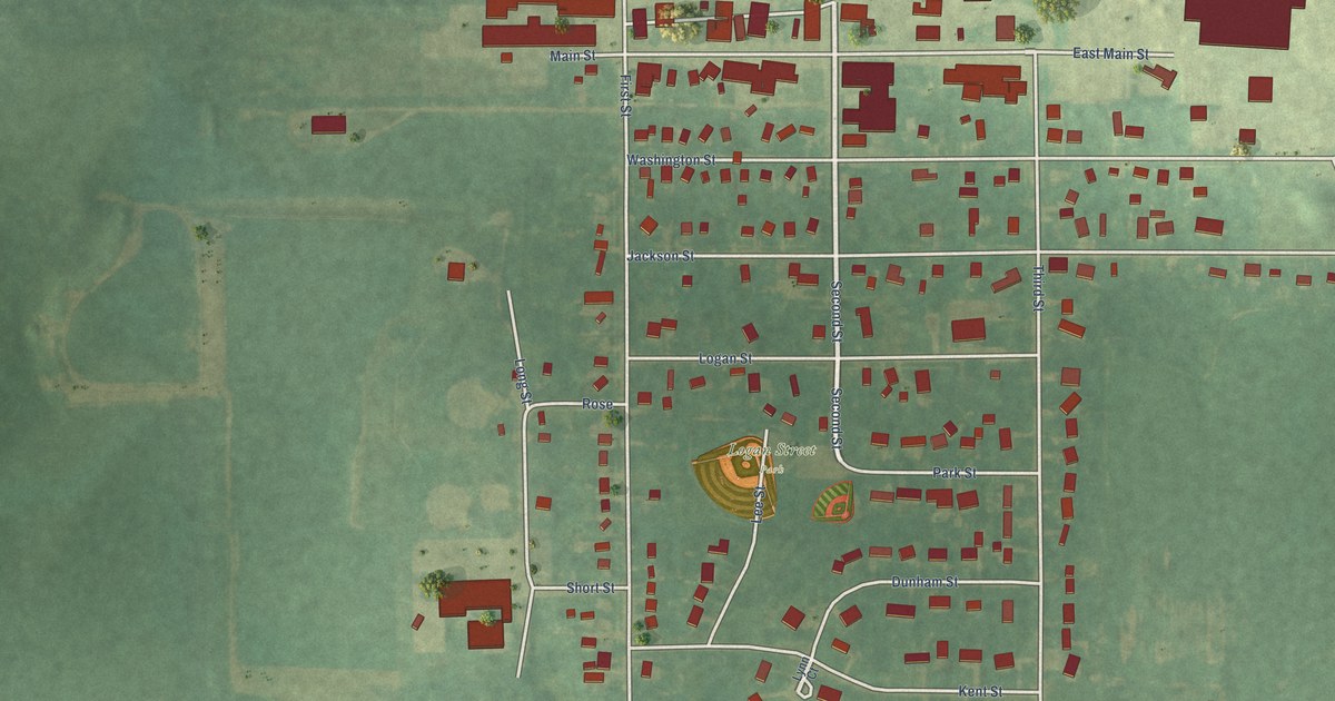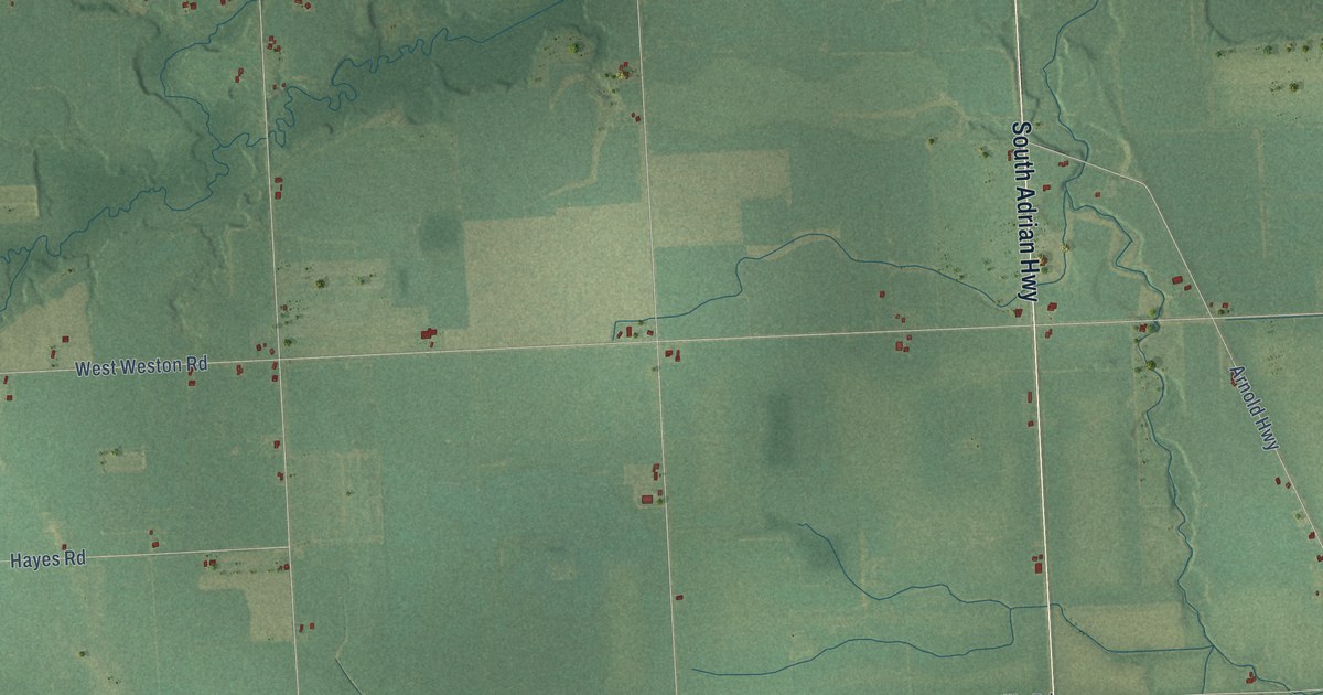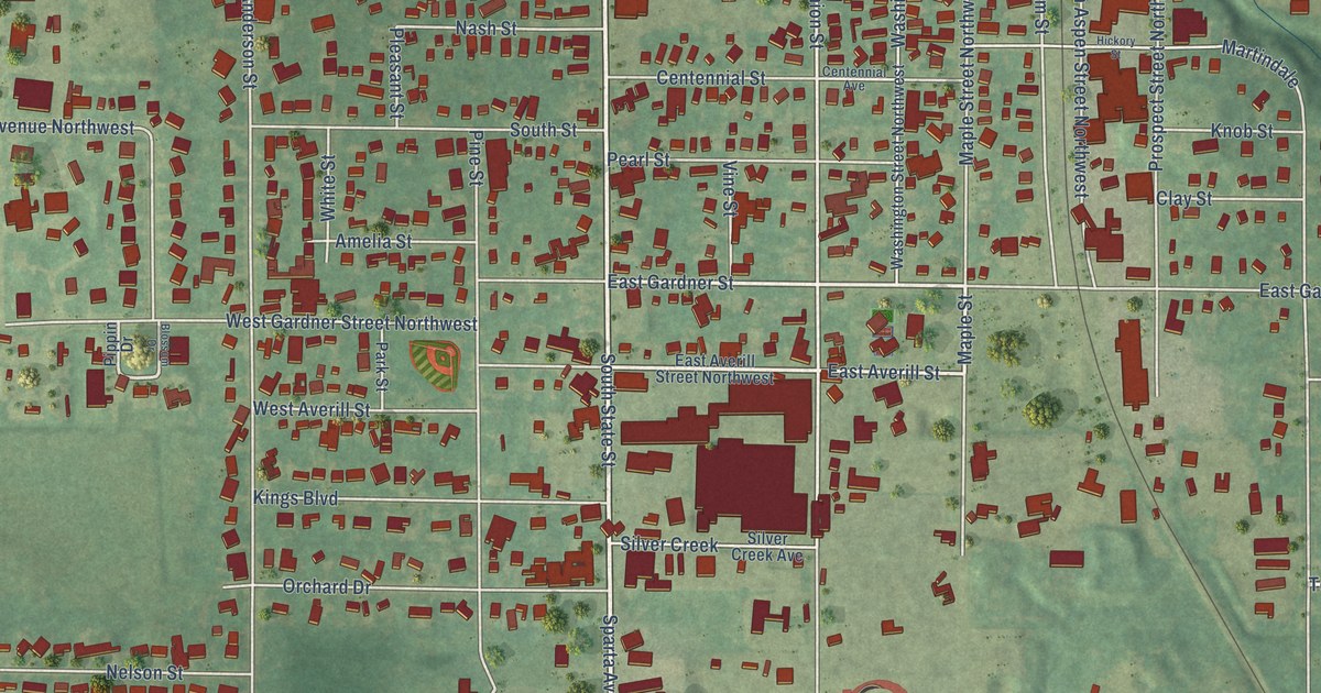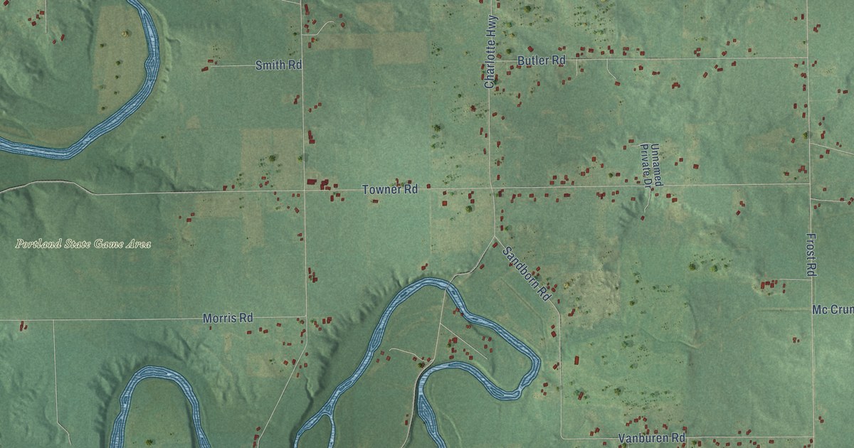
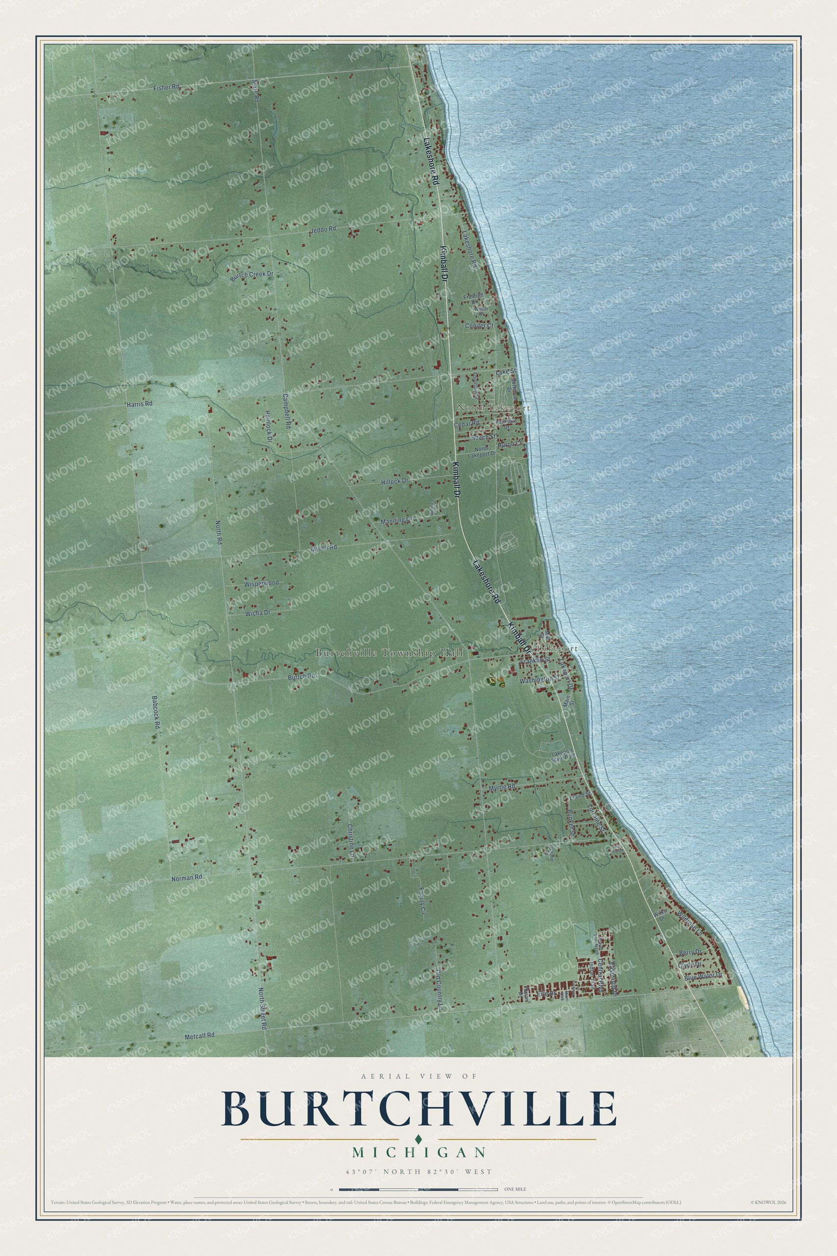
This beautifully detailed map of Burtchville, Michigan was created in 2026 using aerial imagery combined with modern topographical, census, street and landmark data. It's a modern aerial view of Burtchville in St. Clair County, Michigan, that combines modern data with a vintage aesthetic. The roads feature printed names, and if you look closely you can find your exact house accurately shown in its correct location.
Explore an aerial view of Burtchville, Michigan
On this map you'll find Burtchville Township Hall, Lakeport, North Lakeport, Kimball Drive, Lakeshore Road, State Road, Babcock Road, North Road, Metcalf Road, Norman Road, Burtch Road, Harris Road, and more. Each red shape is a building, so zoom in on the preview and look for yours.
Burtchville has a story worth telling. The History of St. Clair County puts it this way: "The First Methodist Episcopal Church of Burtchville was established September 3, 1861, by Rev. William Tuttle, who appointed M. Strevel, W. Boomer, William Wardel, John Mitchell and John Holt, Trustees."
The Census Bureau counted 4,077 people here in 2020.
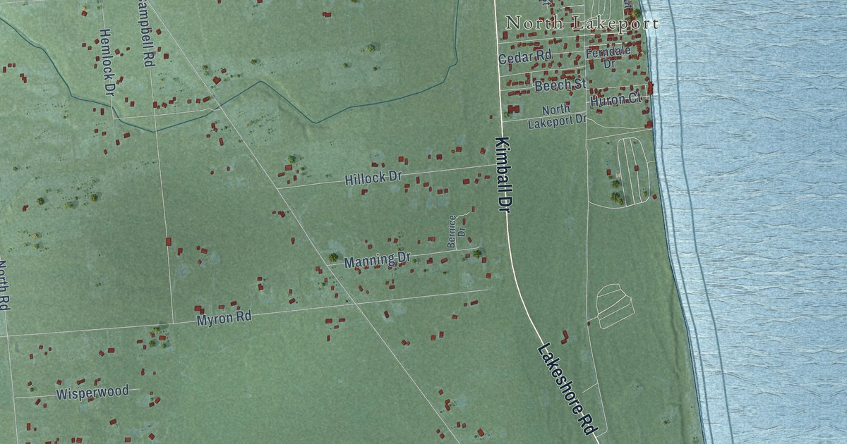
Take a closer look at the Burtchville map
Names on this map
These names are printed on this map.
Places: Burtchville Township Hall, Lakeport, North Lakeport and Lakeport State Park.
Streets and roads: Kimball Drive, Lakeshore Road, State Road, Babcock Road, North Road, Metcalf Road, Norman Road, Burtch Road, Harris Road, Jeddo Road, Fisher Road, Campbell Road.
More street names, A to Z
Beech Street, Bernice Drive, Berry Drive, Blue Water Drive, Bunker Street, Burtch Creek Drive, Butternut Drive, Cedar Road, Central Boulevard, Christine Lane, Clyde Drive, Conifer Court, Delaware Drive, Eastwood Drive, Elaine Street, Erie Drive, Family Circle, Ferndale Drive, Fountain Street, Fraleigh Drive, Franklin Street, Hemlock Drive, Hillock Drive, Huron Court, Huron Drive, Idle Hour Court, Indian Trail, Indian Trail North, Jackson Drive, Lakeport Drive, Lake Street, Lorraine Street, Main Street, Manning Drive, Miami Boulevard, Mill Street, Myron Road, Myrtle Road, North Lakeport Drive, North Street Road, Old Country Lane, Washington Street, Wicha Drive, Wildrose Lane, Wilks Drive, Wisperwood, Woods Drive.
Created by KNOWOL in 2026. The buildings are small red shapes, the roads carry their printed names, and shaded relief shows the shape of the land. The title panel reads "AERIAL VIEW OF BURTCHVILLE, MICHIGAN" with 43°07' NORTH 82°30' WEST.
It looks right in a kitchen, an office or a den, and it's a gift for anyone who grew up in Burtchville or moved away. Open the preview and find your street. See sizes and frames for the Burtchville map.