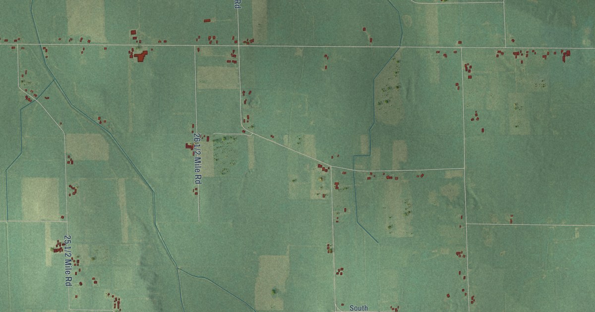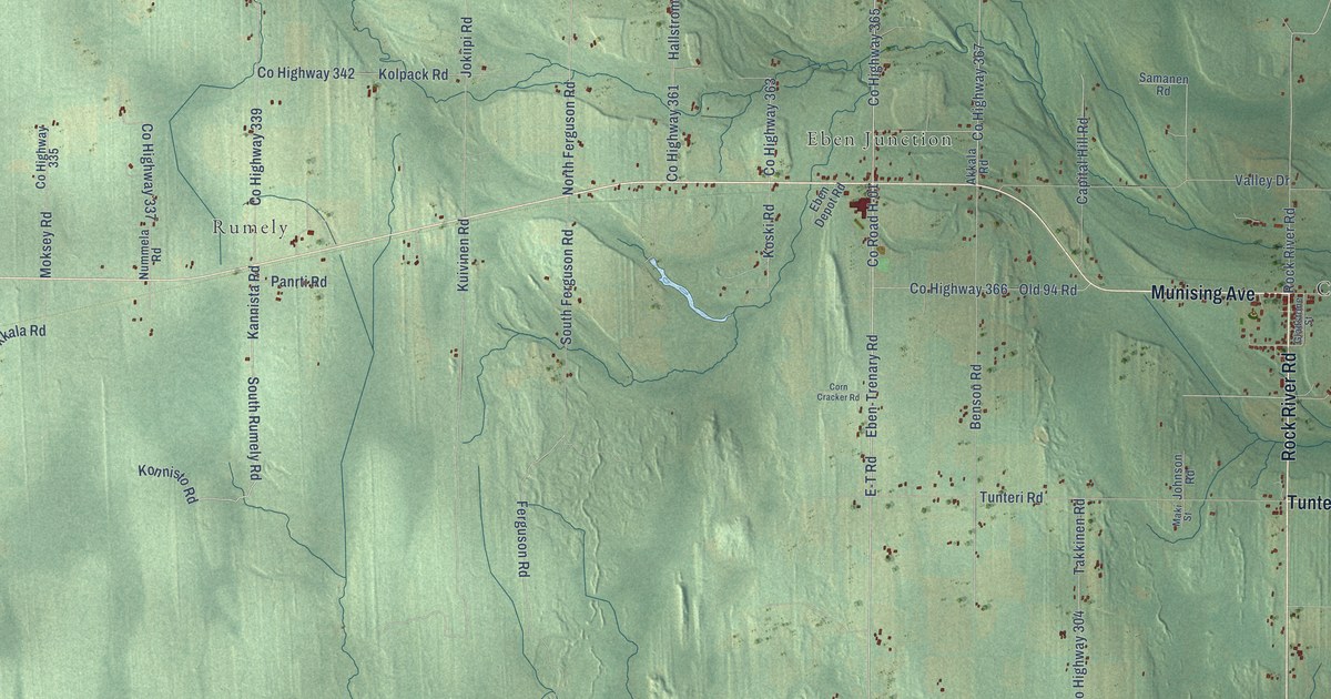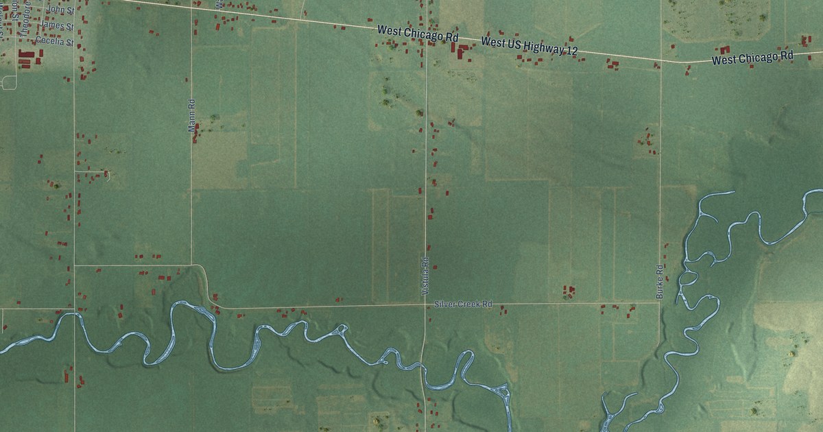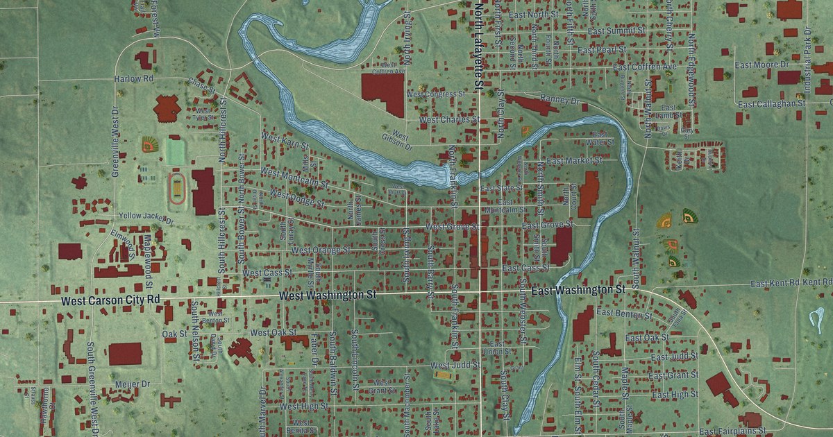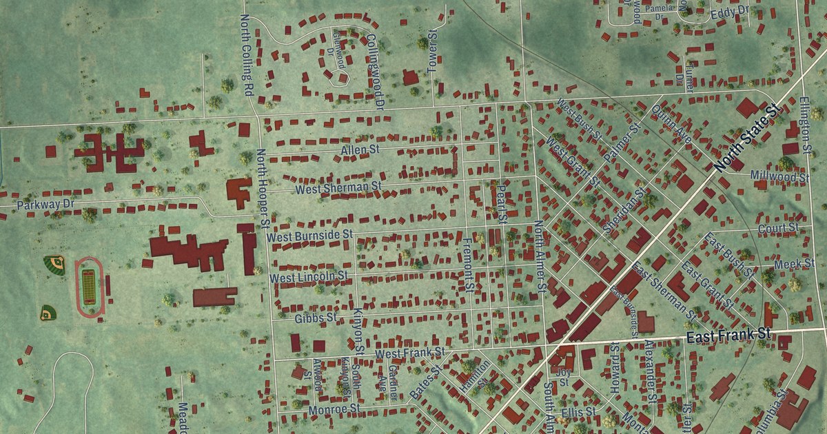
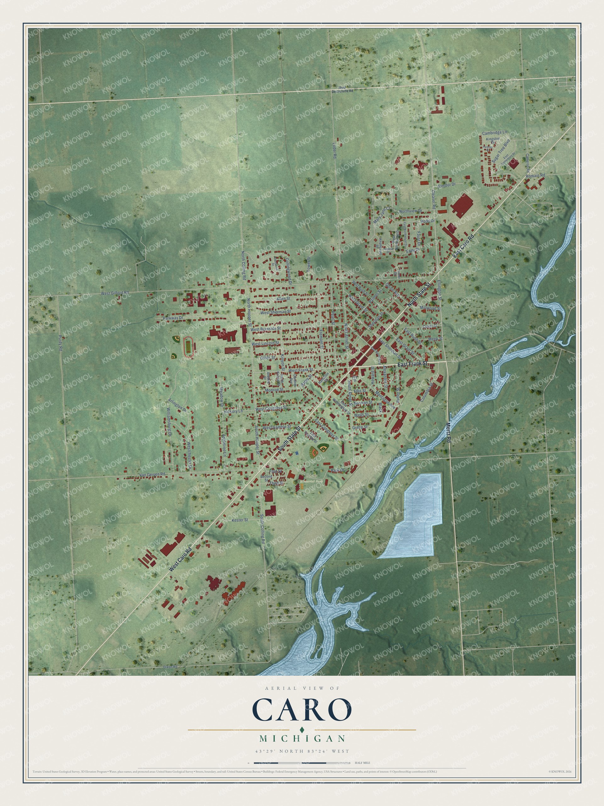
This beautifully detailed map of Caro, Michigan was created in 2026 using aerial imagery combined with modern topographical, census, street and landmark data. It's a modern aerial view of Caro in Tuscola County, Michigan, that combines modern data with a vintage aesthetic. The roads feature printed names, and if you look closely you can find your exact house accurately shown in its correct location.
Explore an aerial view of Caro, Michigan
On this map you'll find Bieth Memorial Park, East Frank Street, North State Street, South State Street, West Caro Road, East Caro Road, Mertz Road, Ellington Street, Cleaver Road, South Almer Street, West Frank Street, North Hooper Street, and more. Each red shape is a building, so zoom in on the preview and look for yours.
Caro has a story worth telling. The Portrait and Biographical Record puts it this way: "In connection with Mr. Hood he then established a stave mill at Caro, where he has since remained engaged in the same business."
Caro is a city in Tuscola County. The Census Bureau counted 4,328 people here in 2020.
Take a closer look at the Caro map
Names on this map
These names are printed on this map.
Places: Bieth Memorial Park.
Streets and roads: East Frank Street, North State Street, South State Street, West Caro Road, East Caro Road, Mertz Road, Ellington Street, Cleaver Road, South Almer Street, West Frank Street, North Hooper Street, North Almer Street.
More street names, A to Z
Alexander Street, Allen Street, Appletree Lane, Arlington Drive, Atwood Street, Bates Street, Black, Butler Street, Cambridge Lane, Cameron Road, Collingwood Drive, Columbia Street, Court Street, Dixon Road, East Burnside Street, East Bush Street, East Canterbury Drive, East Congress Street, East Gamble Street, East Grant Street, East Northwood Drive, East Sherman Street, East Washington Street, Eddy Drive, Ellis Street, Elmdor Drive, Faust Drive, First Street, Fremont Street, Gardner Avenue, Gibbs Street, Glenwood Drive, Green Street, Hamilton Street, Hickory Lane, Howard Street, Joy Street, Kester Street, Kingston Drive, Kinyon Street, Knollwood Drive, Luder Road, Mary Jane Court, Meadow Drive, Meek Street, Millwood Street, Monroe Street, Montague Avenue, Norman Street, North Colling Road, Northview Drive, Palmer Street, Pamela Drive, Park Drive, Parkside Drive, Parkway Drive, Pearl Street, Purdy Road, Quinn Avenue, Rodd Drive, Romain Road, Second Street, Sheridan Street, South Colling Road, South Hooper Street, South Kinyon Street, Sugar Tree Boulevard, Third Street, Tower Street, Turner Drive, Van Geisen Road, Wells Street, West Burnside Street, West Bush Street, Westchester Drive, West Congress Street, West Deckerville Road, West Gamble Street, West Gilford Road, West Grant Street, West Lincoln Street, West Northwood Drive, West Sherman Street, Williamsburg Drive.
Created by KNOWOL in 2026. The buildings are small red shapes, the roads carry their printed names, and shaded relief shows the shape of the land. The title panel reads "AERIAL VIEW OF CARO, MICHIGAN" with 43°29' NORTH 83°24' WEST.
It looks right in a kitchen, an office or a den, and it's a gift for anyone who grew up in Caro or moved away. Open the preview and find your street. See sizes and frames for the Caro map.