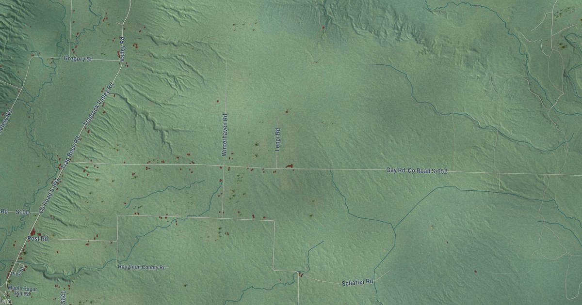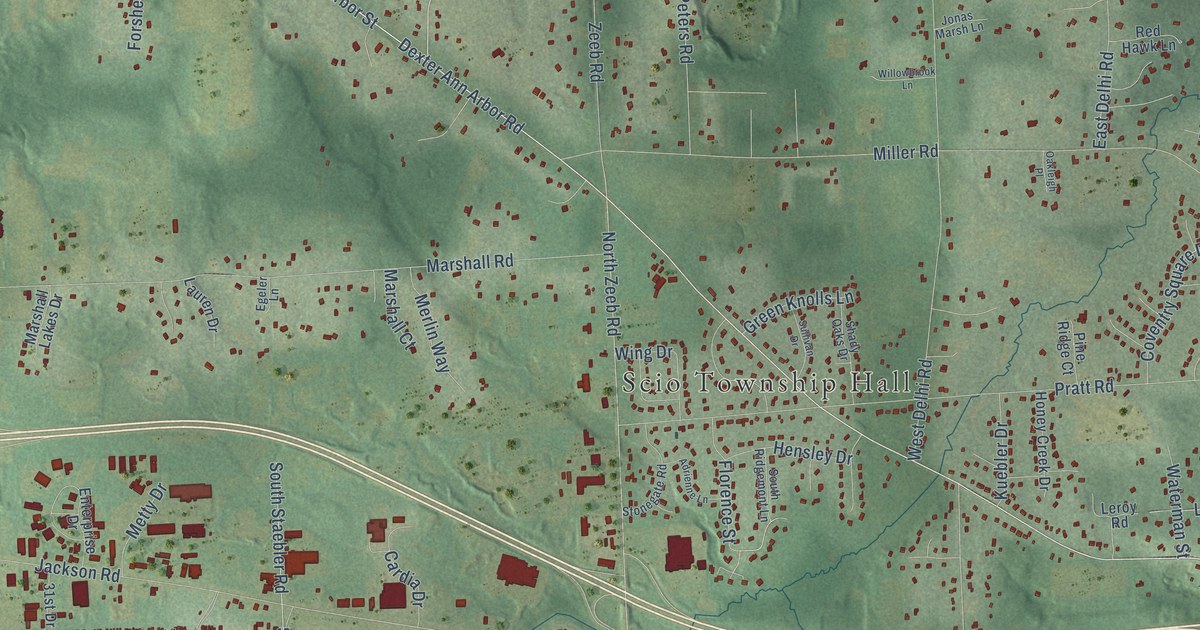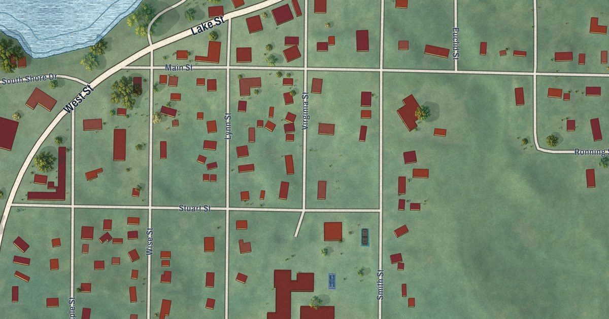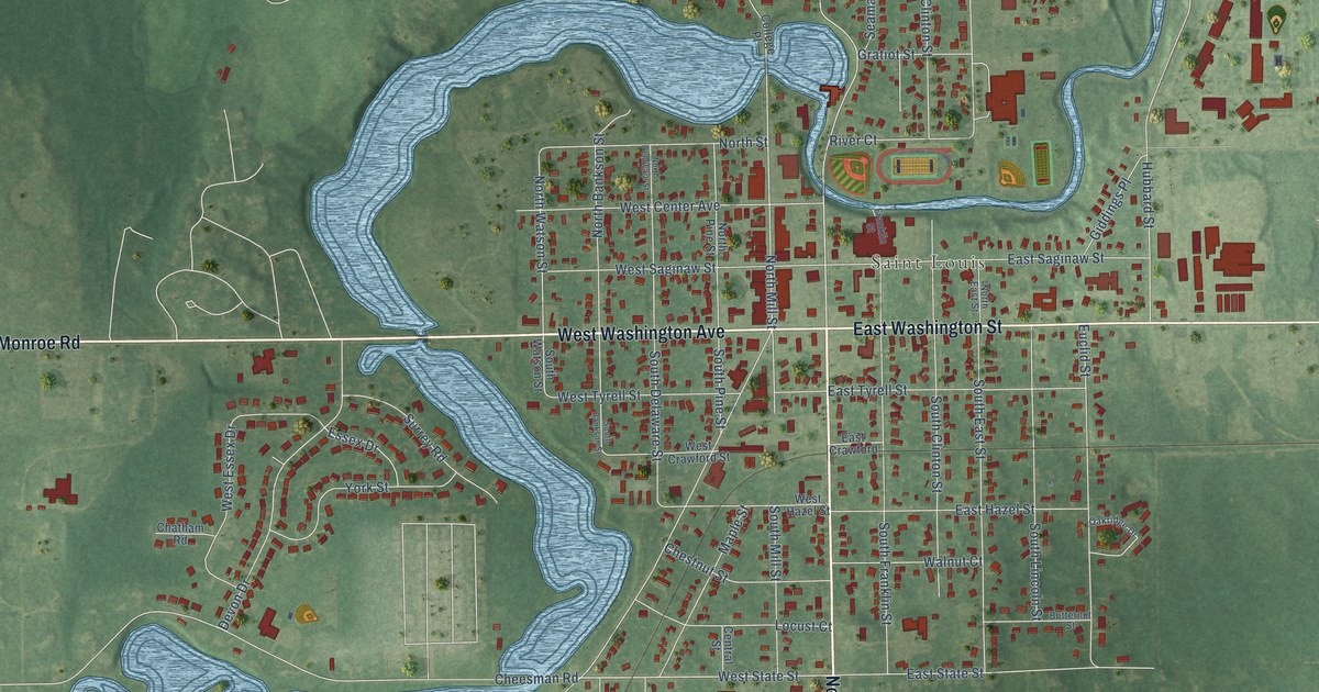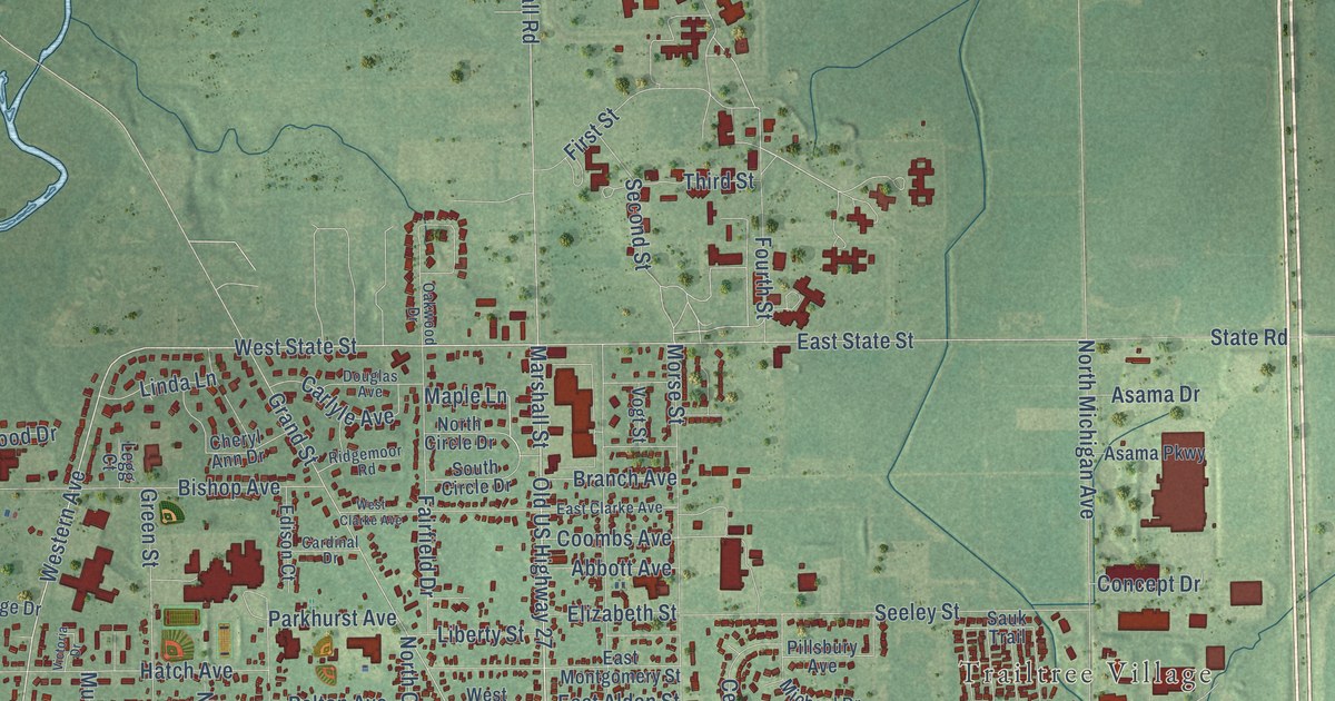
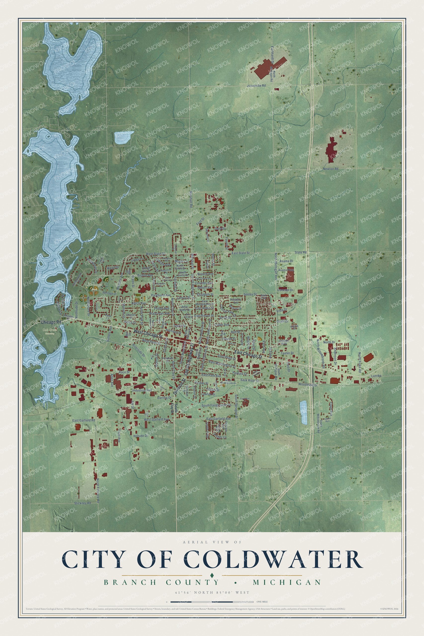
This beautifully detailed map of Coldwater, Michigan was created in 2026 using aerial imagery combined with modern topographical, census, street and landmark data. It's a modern aerial view of Coldwater in Branch County, Michigan, that combines modern data with a vintage aesthetic. The roads feature printed names, and if you look closely you can find your exact house accurately shown in its correct location.
Explore an aerial view of Coldwater, Michigan
On this map you'll find Trailtree Village, Heritage Park, Oak Grove Cemetery, Reith Park, West Chicago Street, Old US Highway 27, Division Street, Chicago Road, East Chicago Street, Marshall Street, West State Street, East Garfield Avenue, and more. Each red shape is a building, so zoom in on the preview and look for yours.
Coldwater has a story worth telling. The History of Branch County puts it this way: "Another event of the spring of 1832 was the laying out by Tibbits and Hauchett of the village which has since become the city of Coldwater. It was then called Lyons, in honor of Mr. Tibbits' native town in New York."
Coldwater is a city in Branch County. The Census Bureau counted 13,822 people here in 2020.
Take a closer look at the Coldwater map
Names on this map
These names are printed on this map.
Places: Trailtree Village, Heritage Park, Oak Grove Cemetery and Reith Park.
Streets and roads: West Chicago Street, Old US Highway 27, Division Street, Chicago Road, East Chicago Street, Marshall Street, West State Street, East Garfield Avenue, Western Avenue, East Garfield Road, South Clay Street, East State Street.
More street names, A to Z
Abbott Avenue, Allen Avenue, Anderson Drive, Arapaho Trail, Arrowhead Drive, Asama Drive, Asama Parkway, Avery Drive, Balfour Drive, Bennett Street, Bishop Avenue, Branch Avenue, Butters Avenue, Candlewood Court, Cardinal Drive, Carlyle Avenue, Cecil Drive, Central Park Drive, Charles Street, Cheryl Ann Drive, Chicago Street, Church Street, Concept Drive, Coombs Avenue, Cutter Avenue, Darling Drive, Douglas Avenue, Earhhardt Drive, East Alden Street, East Clarke Avenue, East Drive, East Montgomery Street, East Park Avenue, East Pearl Street, East Pierce Street, East Washington Street, Edison Court, Elizabeth Street, Elm Street, Fairfield Drive, Fairview East, Fairview West, Farm Lane, Fawn Run, First Street, Fourth Street, Furlong Drive, Grahl Drive, Grand Street, Green Street, Harrison Street, Hatch Avenue, Henry Street, Heritage Drive, Hillside Drive, Homer Drive, Hooker Street, Hull Street, Industrial Avenue, Jackson Street, Jay Street, Jonesville Road, Lawton Street, Legg Court, Liberty Street, Lilly, Linda Lane, Lott Road, Lucky Drive, Maple Lane, Marshall Road, Michael Drive, Mill Street, Morse Street, Munson Street, Newton Road, North Circle Drive, North Clay Street, North Drive, North Fillmore Road, North Fiske Road, North Fremont Street, North Hudson Street, North Jefferson Street, North Michigan Avenue, North Michigan Road, North Monroe Street, North Polk Street, Northshore Drive, Northside Drive, North Waterworks Drive, North Willowbrook Road, Oakdale Lane, Oakwood Drive, Orchard Street, Orleans Boulevard, Parkhurst Avenue, Park Place, Park Street, Peckham Street, Pelton Avenue, Perkins Street, Pierson Street, Pillsbury Avenue, Pine Tree Lane, Preston Street, Race Street, Ridgemoor Road, River Road, Riverside Drive, Rose Street, Saddle Ridge, Sanderson Lane, Sauk River Drive, Sauk Trail, Second Street, Seeley Street, Sheridan Street, Smith Street, South Circle Drive, South Fairgrounds Drive, South Hudson Street, South Jefferson Street, South Michigan Avenue, South Monroe Street, South Sprague Street, South Willowbrook Road, State Road, Stickney Road, Tanner Run, Taylor Street, Teeter Drive, Third Street, Tibbits Street, Treat Avenue, Trotter Lane, Vans Avenue, Victoria Drive, Vista Drive, Vogt Street, Walnut Street, Waterman Avenue, West Alden Street, West Clarke Avenue, West Garfield Avenue, West Pearl Street, West Pierce Street, Willow Lane, Wood Drive, Woodward Drive, Wright Drive.
Created by KNOWOL in 2026. The buildings are small red shapes, the roads carry their printed names, and shaded relief shows the shape of the land. The title panel reads "AERIAL VIEW OF CITY OF COLDWATER, BRANCH COUNTY • MICHIGAN" with 41°56' NORTH 85°00' WEST.
It looks right in a kitchen, an office or a den, and it's a gift for anyone who grew up in Coldwater or moved away. Open the preview and find your street. See sizes and frames for the Coldwater map.