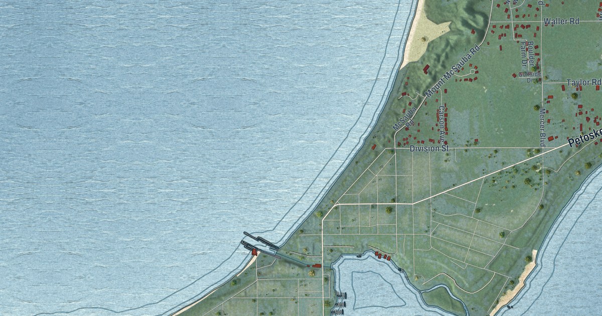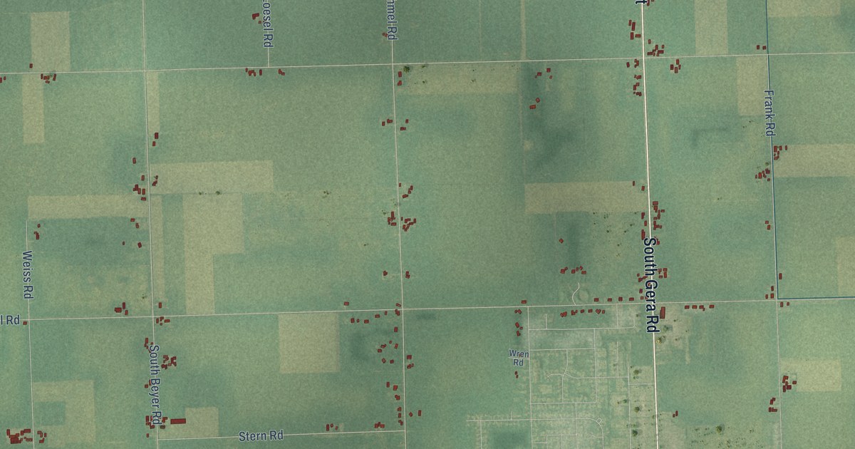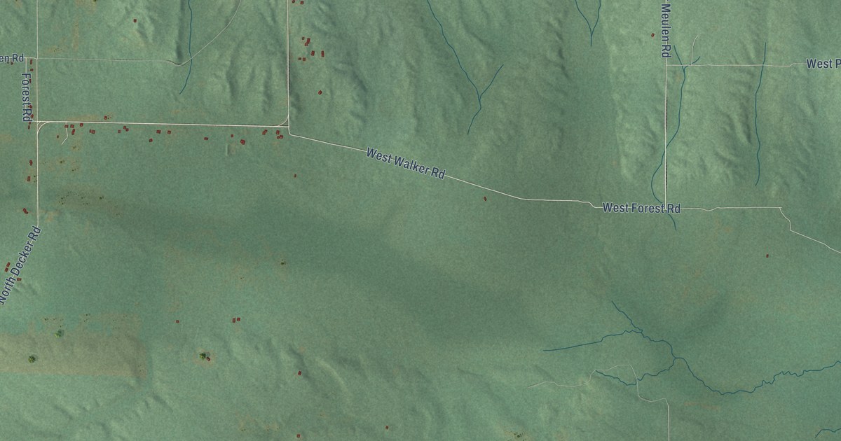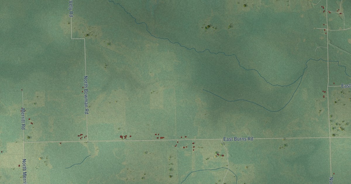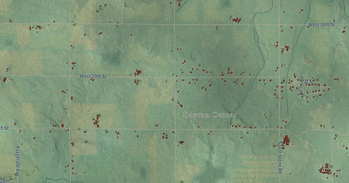
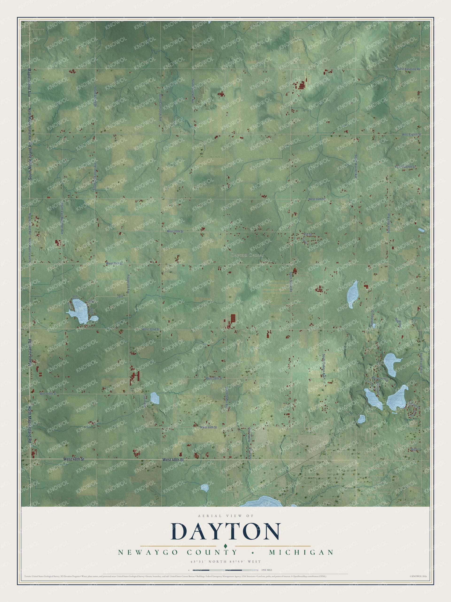
This beautifully detailed map of Dayton, Michigan was created in 2026 using aerial imagery combined with modern topographical, census, street and landmark data. It's a modern aerial view of Dayton in Newaygo County, Michigan, that combines modern data with a vintage aesthetic. The roads feature printed names, and if you look closely you can find your exact house accurately shown in its correct location.
Explore an aerial view of Dayton, Michigan
On this map you'll find Dayton Center, North Maple Island Road, West 48th Street, South Maple Island Road, Maple Island Road, Maple Island Avenue, West 44th Street, Lupin Avenue, South Stone Road, West 24th Street, West 32nd Street, West Baseline Road, and more. Each red shape is a building, so zoom in on the preview and look for yours.
Every town has a first chapter, and Dayton is no exception. The Biographical Album of Newaygo County puts it this way: "Dayton was erected into a township by the Board of Supervisors Jan. 5, 1857, and the first township meeting was held the first Monday in April following, at the house of M. D. Bull, and presided over by Jacob Barnhard, Sylvanus Reid and James Bogue."
The Census Bureau counted 1,994 people here in 2020.
Take a closer look at the Dayton map
Names on this map
These names are printed on this map.
Places: Dayton Center.
Streets and roads: North Maple Island Road, West 48th Street, South Maple Island Road, Maple Island Road, Maple Island Avenue, West 44th Street, Lupin Avenue, South Stone Road, West 24th Street, West 32nd Street, West Baseline Road, West Eighth Street.
More street names, A to Z
28th, Dewitt Avenue, Dogwood, Elm, Fitzgerald Avenue, Harmon Drive, Highland Drive, High Lane, Meadow-Brook Drive, North Maple Island Avenue, North Martin Drive, Pat Street, Ramshorn Drive, Rolling Acres Drive, Shorewood Drive, South Brucker Avenue, South Comstock Avenue, South Dickinson Avenue, South Green Avenue, South Luce Avenue, South Martin Drive, South Osborn Avenue, South Rich Avenue, South Spring Drive, South Van Wagoner Avenue, South Warner Avenue, Spring Drive, Sue Street, Sunset Drive, West 16th Street, West 20th Street, West 38th Street, West 40th Street, West Twelfth Street.
Created by KNOWOL in 2026. The buildings are small red shapes, the roads carry their printed names, and shaded relief shows the shape of the land. The title panel reads "AERIAL VIEW OF DAYTON, NEWAYGO COUNTY • MICHIGAN" with 43°31' NORTH 85°59' WEST.
Hang it in the hallway, the office or the cabin, or give it to someone who left Dayton and still calls it home. Open the preview and look for a street you know. See sizes and frames for the Dayton, Newaygo County map.