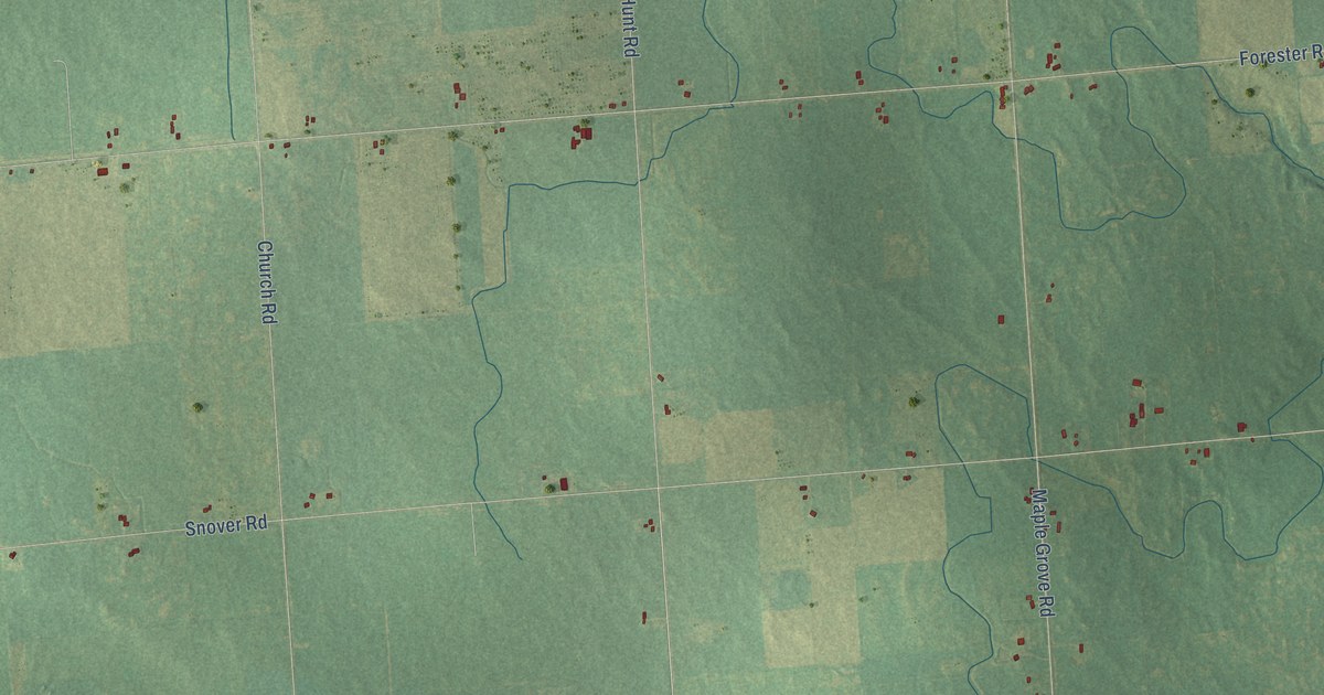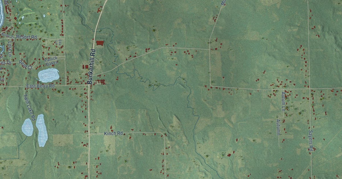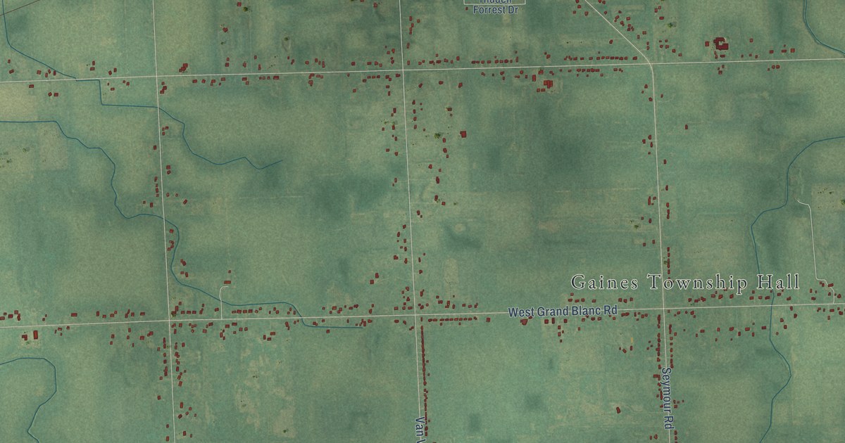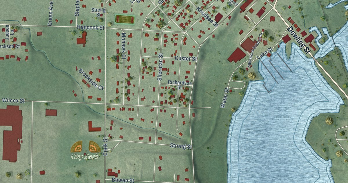
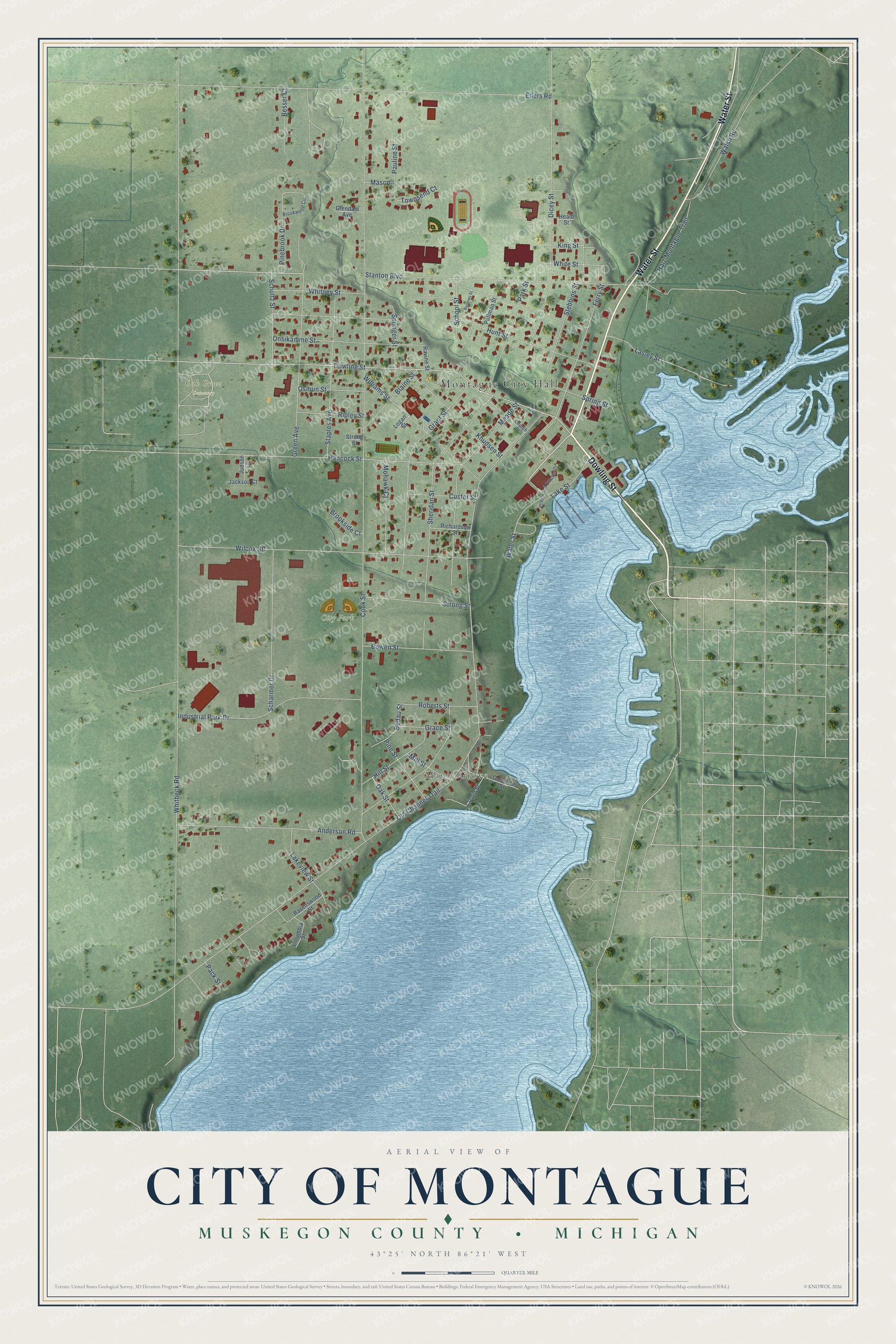
This beautifully detailed map of Montague, Michigan was created in 2026 using aerial imagery combined with modern topographical, census, street and landmark data. It's a modern aerial view of Montague in Muskegon County, Michigan, that combines modern data with a vintage aesthetic. The roads feature printed names, and if you look closely you can find your exact house accurately shown in its correct location.
Explore an aerial view of Montague, Michigan
On this map you'll find Montague City Hall, Maple Grove, City Park, Oak Grove Cemetery, Dowling Street, Water Street, Knudsen Street, Lake Street, Stanton Boulevard, Ferry Street, Whitbeck Road, Old Channel Trail, and more. Each red shape is a building, so zoom in on the preview and look for yours.
Montague has a story worth telling. The Muskegon County History puts it this way: "The first foundry established on the lake was in Montague, by Dicey & Lyttle, in 1865, which was burned and rebuilt, and burned again."
Montague is a city in Muskegon County. The Census Bureau counted 2,417 people here in 2020.
Take a closer look at the Montague map
Names on this map
These names are printed on this map.
Places: Montague City Hall, Maple Grove, City Park and Oak Grove Cemetery.
Streets and roads: Dowling Street, Water Street, Knudsen Street, Lake Street, Stanton Boulevard, Ferry Street, Whitbeck Road, Old Channel Trail, Cook Street, Eilers Road, Meade Street, Wilcox Street.
More street names, A to Z
Anderson Road, Bedau Street, Besser Court, Blaine Street, Bowen Street, Brookside Court, Brookwood Circle, Burrows Street, Church Street, Columbia Street, Crepin Street, Custer Street, Dicey Street, Ellenwood Estates Drive, Glendale Avenue, Goodrich Street, Grace Street, Grant Street, Green Avenue, Hancock Street, Hart-Montague Trail, Heald Street, Hill Street, Hunt Street, Industrial Park Drive, Jackson Court, Judson Lane, King Street, Lakeview Street, Lasley Street, Logan Street, Mason, Mill Street, Mohawk Court, Oak Street, Onsikamme Street, Osmun Street, Pack Street, Park Street, Pauline Street, Pinebrook Drive, Pine Street, Pullman Street, Ravenswood Street, Ravine Street, Richardson Street, Ripley Street, Roberts Street, Scharmer Drive, School Street, Schultz Street, Sheridan Street, Springer Street, Spring Street, Staples Avenue, Stebbins Street, Streng Street, Strong Street, Townsend Court, Walsh Road, White Street, Whitney Street, Williams Street.
Created by KNOWOL in 2026. The buildings are small red shapes, the roads carry their printed names, and shaded relief shows the shape of the land. The title panel reads "AERIAL VIEW OF CITY OF MONTAGUE, MUSKEGON COUNTY • MICHIGAN" with 43°25' NORTH 86°21' WEST.
It looks right in a kitchen, an office or a den, and it's a gift for anyone who grew up in Montague or moved away. Open the preview and find your street. See sizes and frames for the Montague map.