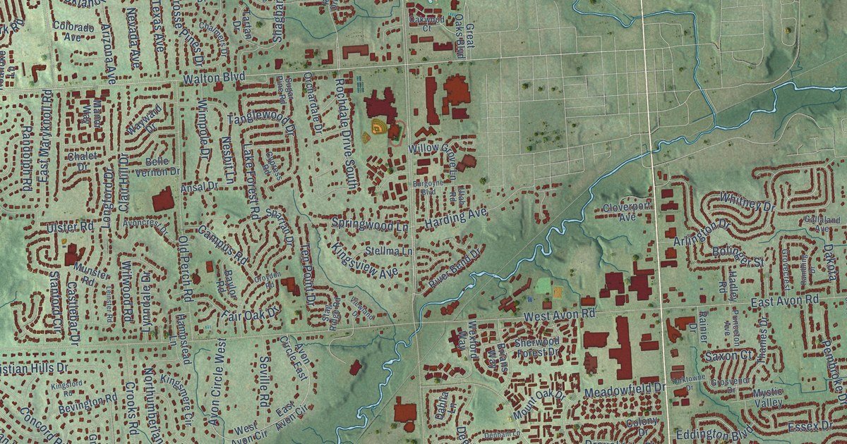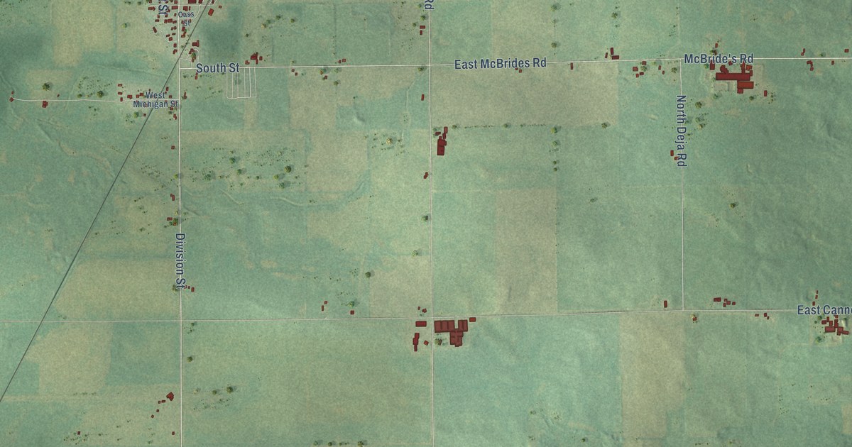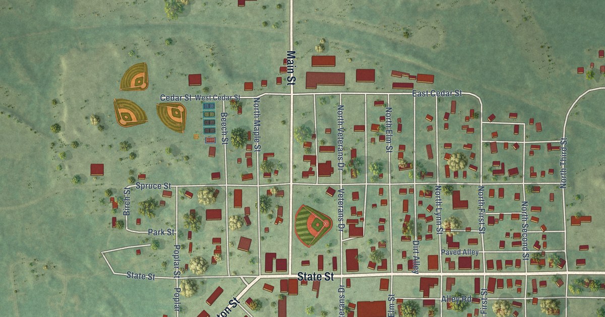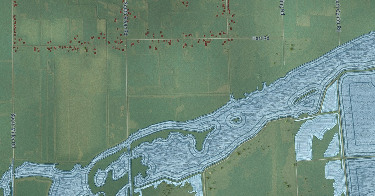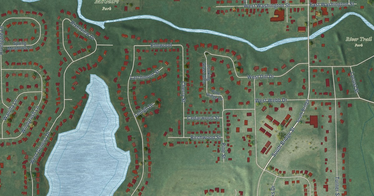
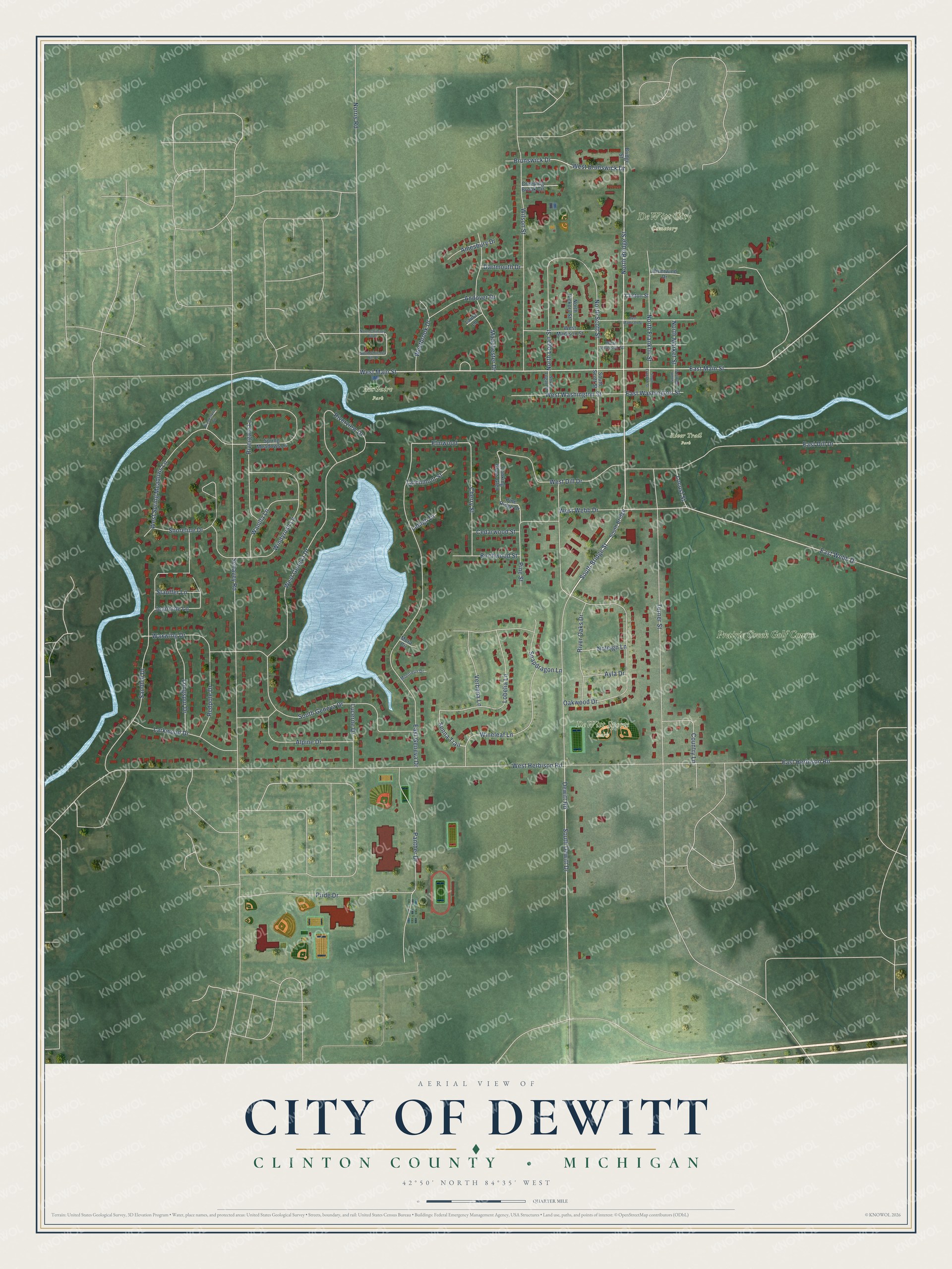
This beautifully detailed map of DeWitt, Michigan was created in 2026 using aerial imagery combined with modern topographical, census, street and landmark data. It's a modern aerial view of DeWitt in Clinton County, Michigan, that combines modern data with a vintage aesthetic. The roads feature printed names, and if you look closely you can find your exact house accurately shown in its correct location.
Explore an aerial view of DeWitt, Michigan
On this map you'll find DeWitt City Cemetery, DeWitt Sports Park, River Trail Park, McGuire Park, Prairie Creek Golf Course, South Bridge Street, North Bridge Street, West Main Street, East Main Street, East Webb Drive, Senna Trail, North Logan Street, and more. Each red shape is a building, so zoom in on the preview and look for yours.
Here is a piece of DeWitt history, in the words of the record. The Past and Present of Clinton County puts it this way: "The grist mill at DeWitt was erected in 1844, and bettered conditions for the Olive settlers."
DeWitt is a city in Clinton County. The Census Bureau counted 4,776 people here in 2020.
Take a closer look at the DeWitt map
Names on this map
These names are printed on this map.
Places: DeWitt City Cemetery, DeWitt Sports Park, River Trail Park, McGuire Park and Prairie Creek Golf Course.
Streets and roads: South Bridge Street, North Bridge Street, West Main Street, East Main Street, East Webb Drive, Senna Trail, North Logan Street, Elmwood, West Herbison Road, South Dewitt Drive, Schavey Road, East Geneva Drive.
More street names, A to Z
Alpine Drive, Amesbury Drive, Andover Drive, Ayla Drive, Birchwood Street, Bridge Street, Brookstone Circle, Brunswick Drive, Cedarwood Street, Cherry Street, Clinton Street, Country Lane, Creeping Brook Circle, Dartmouth Drive, Dewitt Road, East Dill Drive, East Herbison Road, East Madison Street, East Washington Street, Jeannine Lane, Larchmont Street, Larkwood Drive, Laura Lane, Lehigh Drive, Lobelia Lane, Locust Street, Longspur Drive, Looking Glass Glen, Lucerne Drive, Manchester Drive, Montreux Drive, Mora Circle, Noleigh Lane, Norris Road, North Chimney Hill Drive, North Franklin Street, North Hickory Street, North Market Street, North Scott Street, Oakwood Drive, Panther Drive, Pine Ridge Drive, Pine Street, Pride Drive, Redpole Drive, Rivergate Lane, River Oaks Drive, Riverview Drive, Riverwind Drive, Sandhill Drive, Shoreline Drive, Snapdragon Lane, South Bridge, South Chimney Hill Drive, South Franklin Street, South Geneva Drive, South Logan Street, South Market Street, South Scott Street, Spring Meadows Lane, Stauffer Lane, Turner Street, Verbena Lane, Wanilla Lane, Waxwing Drive, Westbrook Drive, West Brunswick Drive, West Dill Drive, West Geneva Drive, West Jefferson Street, West Madison Street, West Spring Meadows Lane, West Washington Street, West Webb Drive, Wilson Street, Windyrush Lane, Wineleaf Lane.
Created by KNOWOL in 2026. The buildings are small red shapes, the roads carry their printed names, and shaded relief shows the shape of the land. The title panel reads "AERIAL VIEW OF CITY OF DEWITT, CLINTON COUNTY • MICHIGAN" with 42°50' NORTH 84°35' WEST.
It suits a den, a classroom or a front hall, and it makes a gift for anyone with DeWitt roots. Open the preview and find the block you know. See sizes and frames for the DeWitt map.